Plizio Visual Lab
Üst Ren Ovası
Hava durumu…
Su sıcaklığı…
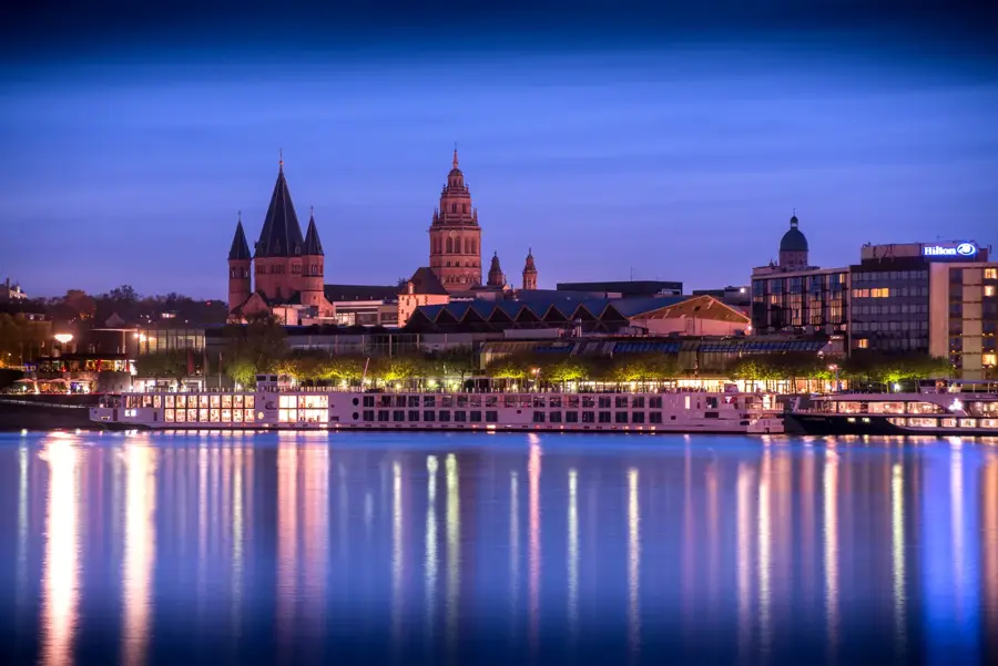
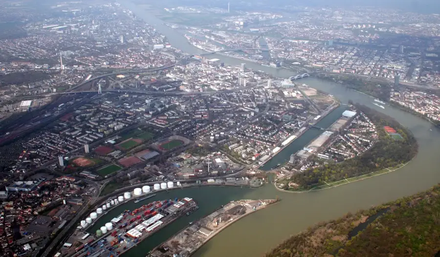
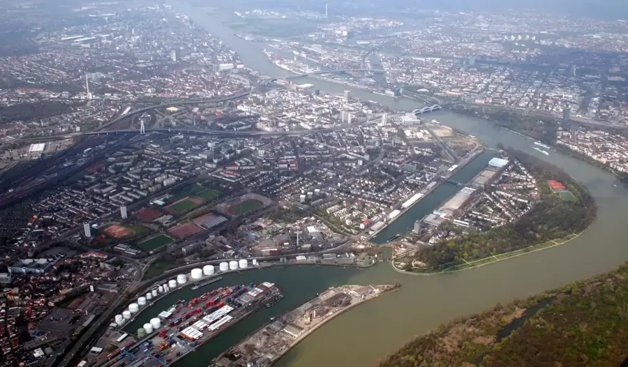
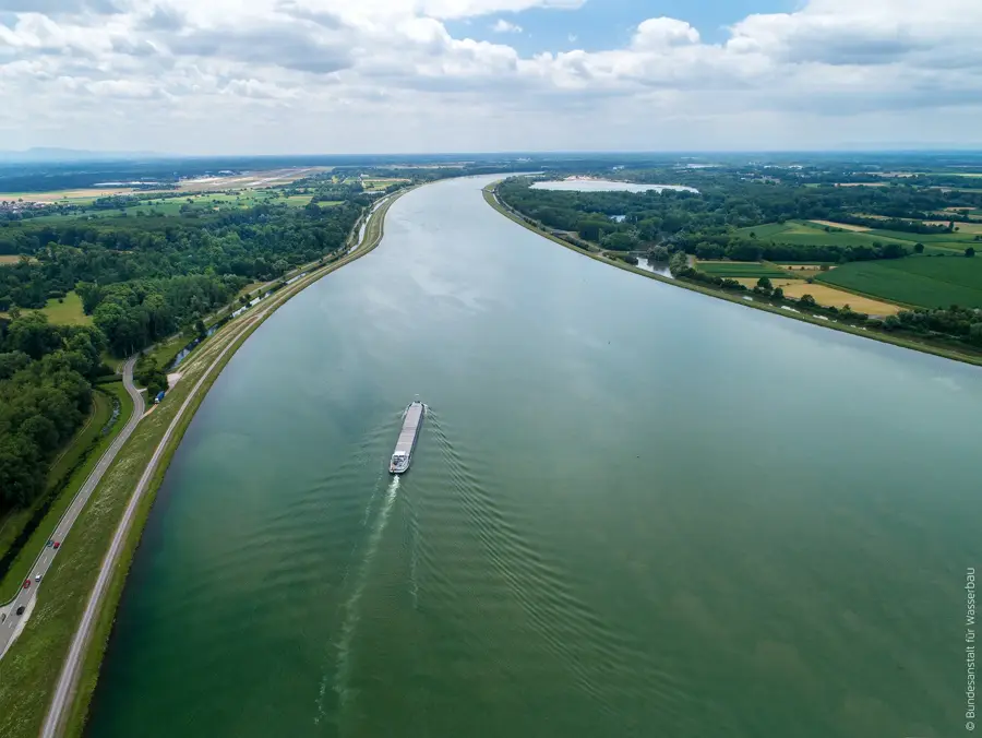
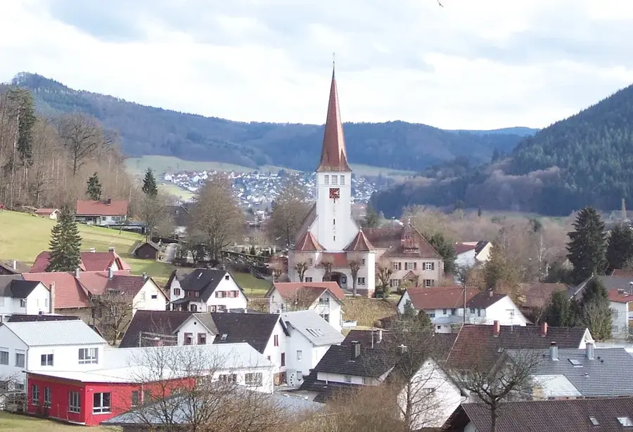
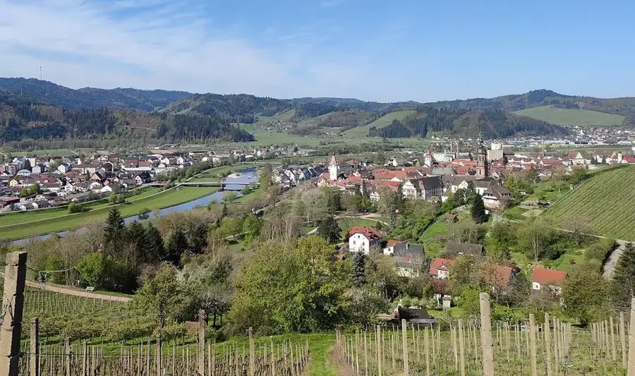
Oberrheintal, Basel ve Frankfurt am Main arasında yaklaşık 300 kilometre boyunca uzanan belirgin bir tektonik çöküntü alanıdır. Bu jeolojik çökme bölgesi yaklaşık 35 milyon yıl önce Tersiyer döneminde oluşmuştur ve bugün 40 kilometre genişliğe kadar ulaşır. Vadi doğuda Schwarzwald ve batıda Vogesen ile çevrilidir, bu da korunaklı bir konuma ve Almanya'nın en ılıman iklimine yol açar. Verimli lös toprakları ve yüksek güneş ışığı nedeniyle bölge; şarap, meyve ve tütün tarımı için önemli bir merkezdir. Rhein, Güney Almanya'nın sanayi merkezlerini Kuzey Denizi limanlarına bağlayan Avrupa'nın en önemli su yollarından biri olarak ovanın içinden geçer. Tarihsel olarak vadi, çok sayıda Roma buluntusu ve orta çağ kentinin kanıtladığı gibi önemli bir yerleşim alanı ve ticaret yoluydu. Bugün bölge yoğun nüfusludur ve önemli bir ekonomik merkezdir, geri kalan nehir kıyısı çayırları ise nadir kuş türleri için önemli sığınma alanlarıdır.
Haritada keşfet
Almanya hakkında ne kadar bilgilisin?
Etkileşimli haritada 10 çeşitli zorlukta şehirleri, manzaraları ve bölgeleri bul.
Seyahatin, senin anın
Üst Ren Ovası’den bir kartpostal
Kendi fotoğrafını yerel posta puluyla kişisel bir kartpostala çevir. Ücretsiz ve kayıt gerektirmez.
Kartpostal oluştur- Konum: Rheinland-Pfalz, Almanya
- Öne çıkanlar: Schnaigbühl · Geigenköpfle · Feldbergblick
- Yakınlar: Lahr/Kara Orman (7 km)
En iyi ziyaret zamanı & iklim
En keyifli dönem: Haz–Ağu.
| Oca | Şub | Mar | Nis | May | Haz | Tem | Ağu | Eyl | Eki | Kas | Ara | |
|---|---|---|---|---|---|---|---|---|---|---|---|---|
| Ort. °C | 0 | 1 | 5 | 9 | 13 | 17 | 19 | 19 | 14 | 10 | 5 | 1 |
| Yağmur mm | 84 | 63 | 70 | 58 | 99 | 83 | 92 | 89 | 65 | 81 | 74 | 91 |
📋 Pratik bilgiler
Coğrafya
Gerçekler
- Vadi yaklaşık 300 km uzunluğunda ve 40 km genişliğindedir.
- Çöküntü alanının ortalama alçalması yılda yaklaşık 0,5 mm'dir.
- Bölge, tüm Almanya'daki en yüksek ortalama sıcaklıkları kaydetmektedir.
- Çöküntü alanı yaklaşık 35 milyon yıl önce Senozoik dönemde oluşmuştur.
- Ovada Straßburg, Karlsruhe ve Mannheim gibi önemli şehirler bulunmaktadır.
- Verimli lös toprakları yer yer 10 metreden fazla kalınlığa ulaşır.
Yakınları keşfet
Çevredeki dikkat çekici yerler
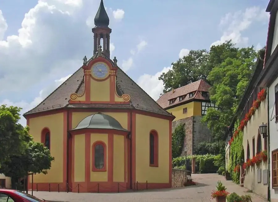
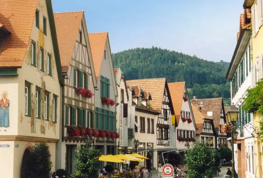
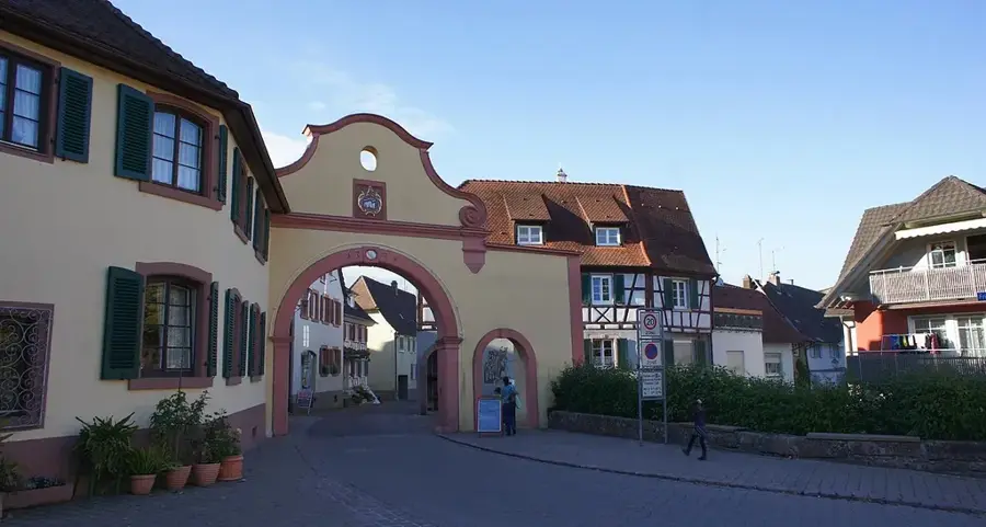
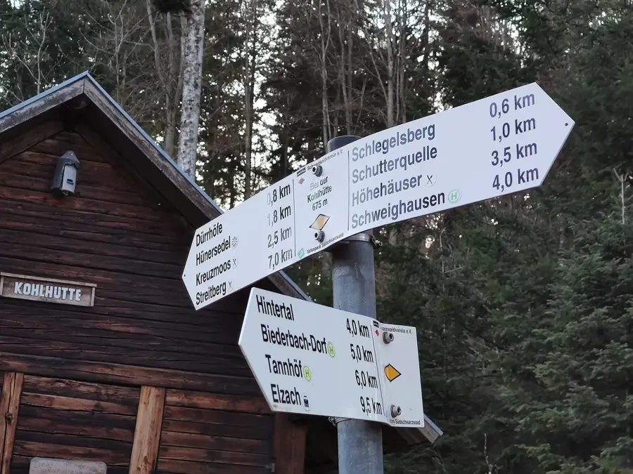
Rota planlayıcı — Araba & Karavan
Nereden başlıyorsunuz? Burada rota oluşturuyoruz, yol boyunca duraklar ve ülke notları ile.
© OpenStreetMap contributors · OpenRouteService
Kasabadaki görülecek yerler Üst Ren Ovası (7)
Rauhkasten
Rauhkasten Almanya'da bir dağ, Kara Orman'da.
Alt Geroldseck (Rauhkasten)🏰 kale
Rauhkasten dağında yer alan, Ortenaukreis'te kale harabesi.
Ruine Diersburg
Almanya'da kale harabesi, ortaçağ tahkimat kalıntıları.
Çevredeki gezilecek yerler
Sıkça sorulan sorular
Üst Ren Ovası’nı ne karakterize eder?
Bu ovada hangi şehirler bulunur?
Bisiklet için uygun mu?
Burada mutfakta ne özel?
Doğa rezervleri var mı?
Üst Ren Ovası: nerede yer alıyor?
Üst Ren Ovası: gezilecek yerler neler?
Üst Ren Ovası: en iyi ziyaret zamanı ne zaman?
Üst Ren Ovası: neden ziyaret edilmeye değer?

Yakındaki şehirler