Plizio Visual Lab
Laguna Las Ninfas
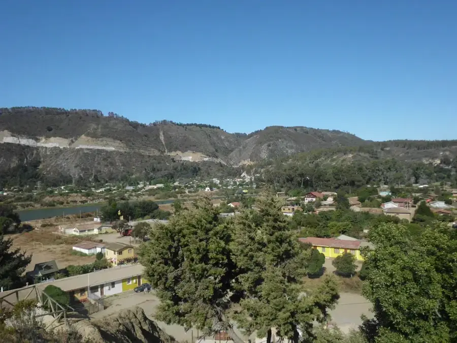
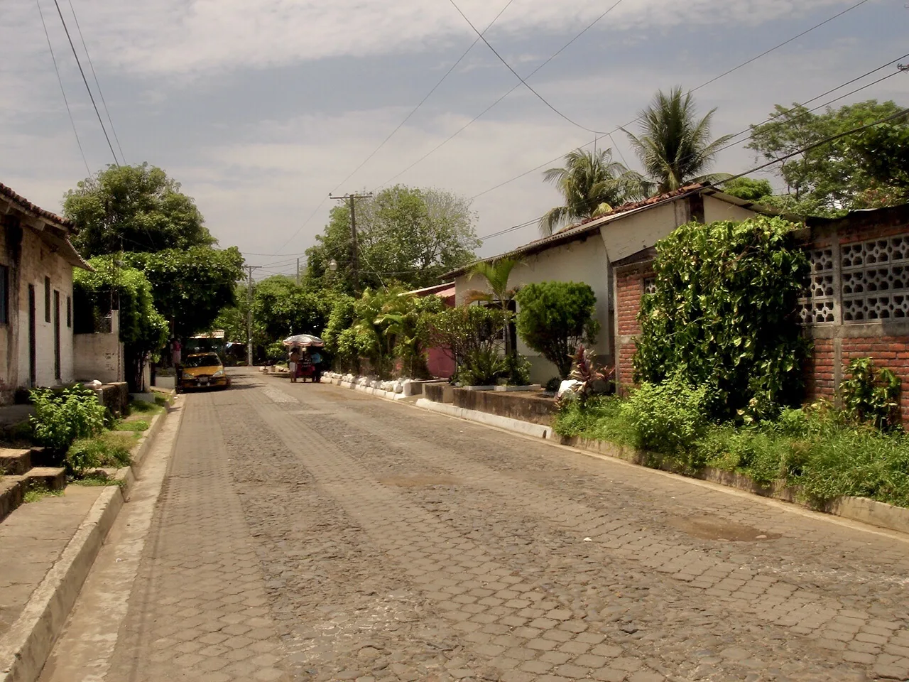
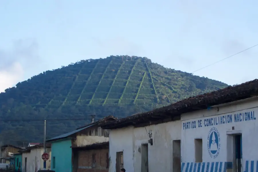
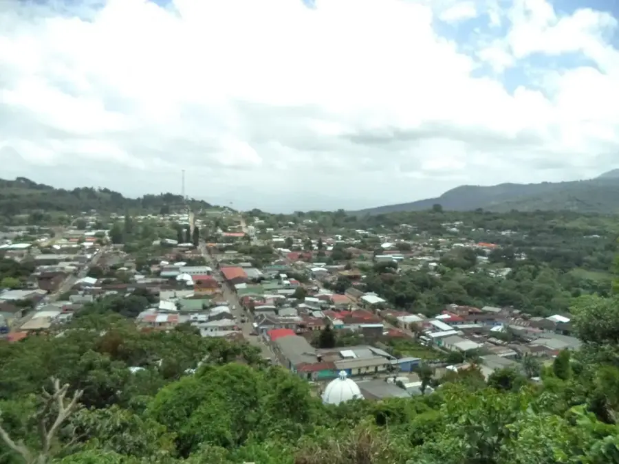
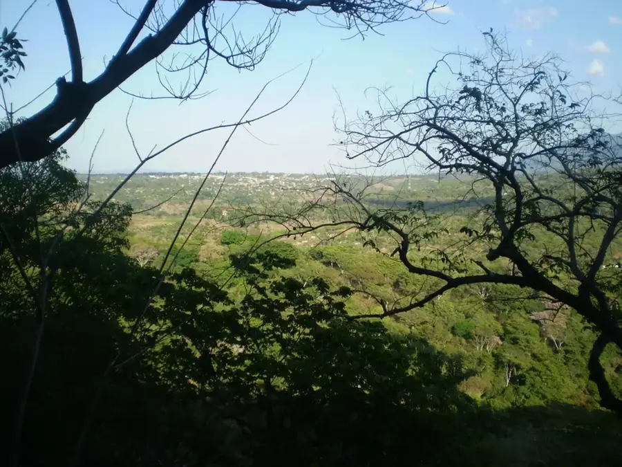
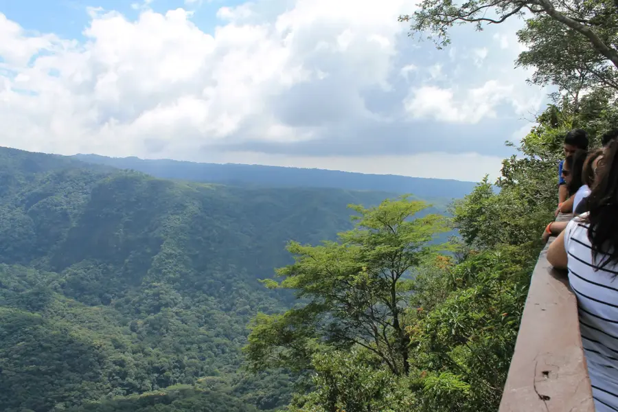
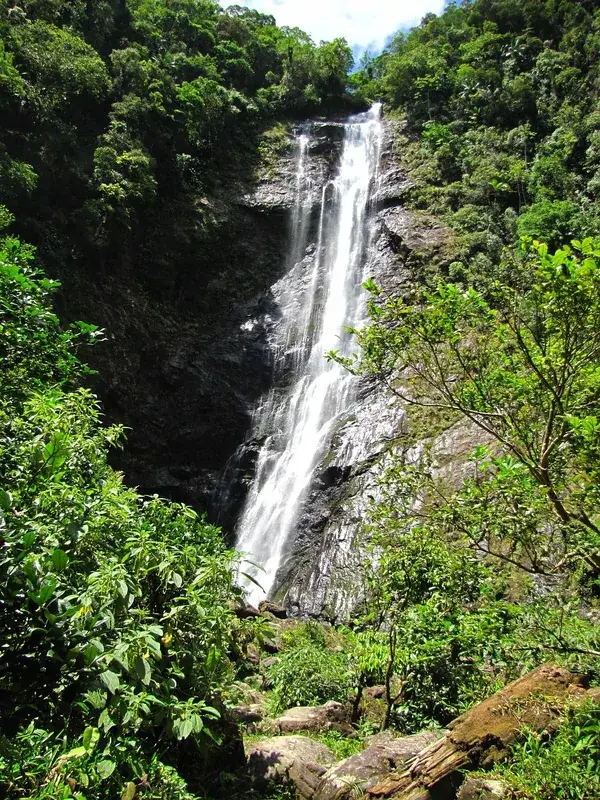
Laguna Las Ninfas is a volcanic crater lake situated at an altitude of approximately 1,630 meters above sea level within the Apaneca-Ilamatepec mountain range of western El Salvador. The lake is a centerpiece of the Apaneca-Ilamatepec Biosphere Reserve, which was designated by UNESCO in 2007 to protect its unique high-altitude ecosystems. It is characterized by its lush surroundings of cloud forest and the presence of numerous water lilies, known locally as "ninfas," which cover significant portions of its surface. The area provides a critical habitat for various endemic bird species and diverse flora that thrive in the cool, humid climate of the highlands. Historically, the region has been significant for its coffee production, but the lagoon itself remains a protected sanctuary for biodiversity. Visitors are drawn to its serene atmosphere and the opportunity to observe rare plant life in one of the country's most well-preserved volcanic craters.
- Location: El Salvador
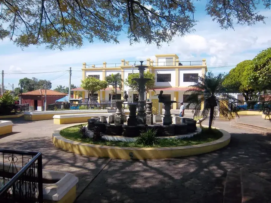
- Top sights: Salcoatitán · Juayúa
- Nearby: Nahuizalco (4 km)
Best time to visit & climate
The most pleasant time to visit is Jan, Feb, Dec.
| Jan | Feb | Mar | Apr | May | Jun | Jul | Aug | Sep | Oct | Nov | Dec | |
|---|---|---|---|---|---|---|---|---|---|---|---|---|
| Avg °C | 23 | 25 | 26 | 27 | 26 | 25 | 25 | 25 | 24 | 24 | 23 | 23 |
| Rain mm | 6 | 8 | 8 | 34 | 159 | 207 | 178 | 218 | 227 | 171 | 45 | 11 |
📋 Practical info
Geography
Facts
- Located at 1,630 meters above sea level in the Apaneca range.
- Included in the UNESCO Biosphere Reserve established in 2007.
- Home to the endemic water lily species Nymphaea ampla.
- The volcanic crater has a diameter of roughly 400 meters.
- A key habitat for high-altitude endemic bird species.
- The surrounding cloud forest receives over 2,000mm of rain annually.
Explore nearby
Notable places around
Route planner — Car & Motorhome
Where do you start? We build the route here, with stops and country notes along the way.
© OpenStreetMap contributors · OpenRouteService
Sights in the town Laguna Las Ninfas (2)
Sights nearby
Frequently asked questions
What is the best season to visit?
Is the place good for birdwatching?
Can one have a picnic there?
Do I need sturdy footwear?
Are there restrooms there?
Laguna Las Ninfas: where is it located?
Laguna Las Ninfas: what is there to see?
Laguna Las Ninfas: when is the best time to visit?
Laguna Las Ninfas: why is it worth visiting?

Nearby cities

Nature
More places