Plizio Visual Lab
Sierra de Agua
Weather…
Water temperature…
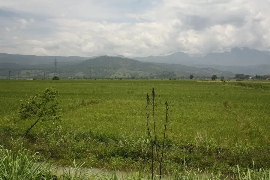
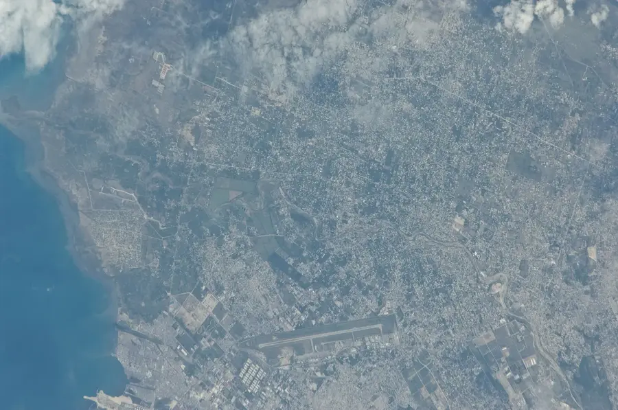
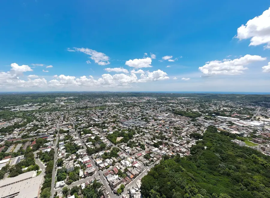
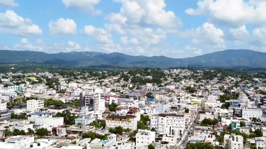
The Sierra de Agua is a smaller mountain range in the eastern Dominican Republic, often considered a spur of the Cordillera Oriental system. These mountains primarily traverse the provinces of Hato Mayor and El Seibo and are known for their dense, subtropical vegetation. The name 'Sierra de Agua' derives from the abundance of springs and small rivers that originate in the area, which are crucial for irrigating the surrounding lowlands. The topography is defined by steep slopes and narrow valleys, limiting large-scale agriculture but providing convenient conditions for shade-grown coffee and cocoa. Geologically, the sierra consists predominantly of limestone and volcanic sediments. Despite its lower elevation compared to the Cordillera Central, it plays a vital ecological role as a watershed and a corridor for bird species endemic to the Caribbean island.
- Location: Dominican Republic
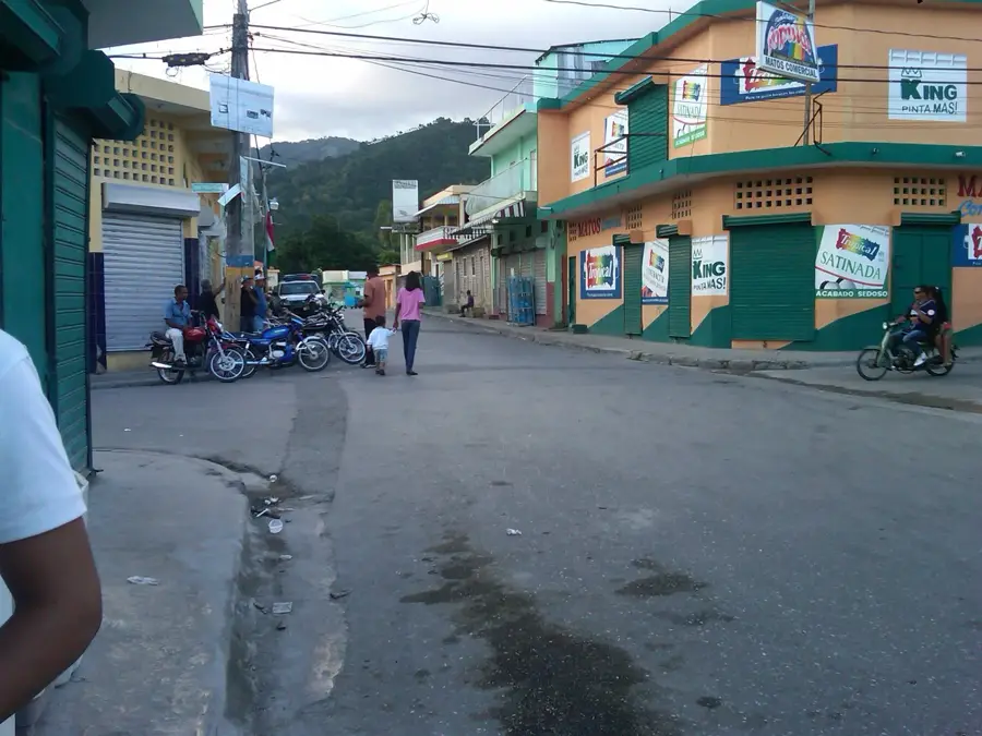
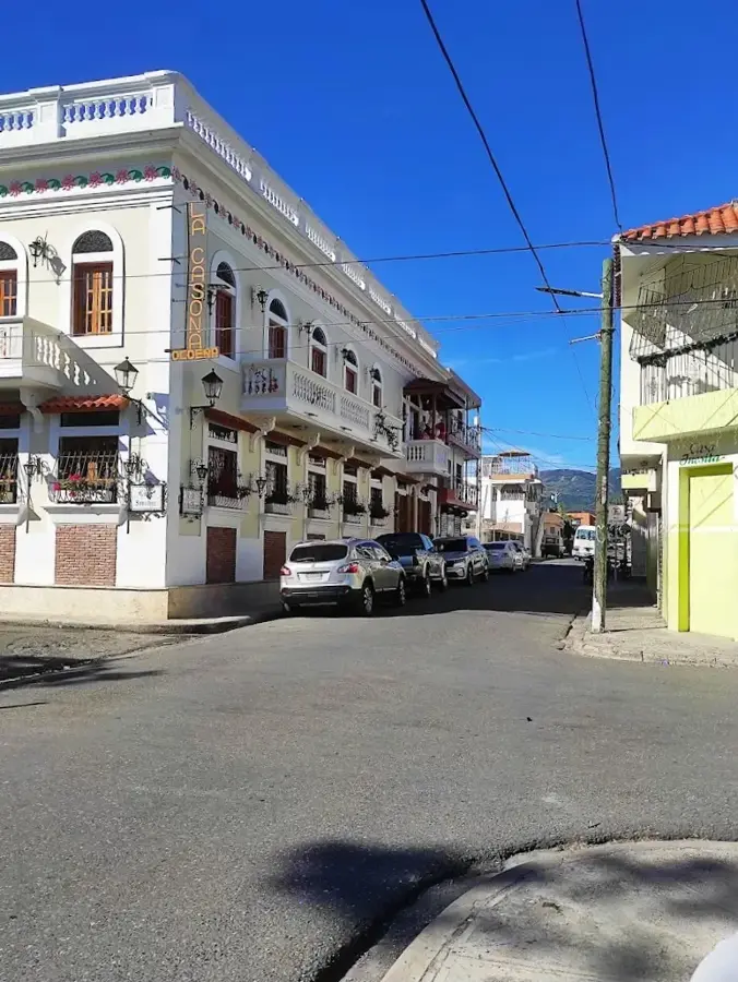
- Nearby: Cambita Garabitos (10 km)
Best time to visit & climate
The most pleasant time to visit is Jan–Mar.
| Jan | Feb | Mar | Apr | May | Jun | Jul | Aug | Sep | Oct | Nov | Dec | |
|---|---|---|---|---|---|---|---|---|---|---|---|---|
| Avg °C | 23 | 23 | 23 | 24 | 25 | 25 | 25 | 26 | 26 | 25 | 24 | 23 |
| Rain mm | 23 | 20 | 22 | 40 | 67 | 47 | 56 | 69 | 60 | 66 | 70 | 43 |
📋 Practical info
Geography
Facts
- Part of the eastern mountain system of the Dominican Republic.
- Source region for rivers such as the Rio Soco.
- Composed of a mix of limestone and volcanic rocks.
- Slopes are heavily utilized for cocoa production.
- Home to significant stretches of subtropical moist forest.
- Acts as a primary water storage area for Hato Mayor province.
Explore nearby
Notable places around
Route planner — Car & Motorhome
Where do you start? We build the route here, with stops and country notes along the way.
© OpenStreetMap contributors · OpenRouteService
Sights nearby
Frequently asked questions
How high is Sierra de Agua?
Is hiking difficult there?
Are there parking lots?
What flora is typical?
When is the best time to visit?
Sierra de Agua: where is it located?
Sierra de Agua: when is the best time to visit?
Sierra de Agua: why is it worth visiting?

Nearby cities


History & landmarks

Nature
More places