Plizio Visual Lab
Santo Domingo Oeste
ℹ️Practical info — Santo Domingo Oeste
▾
🌤 Weather — 5 days
📍 Nearby
Sights nearby
💡 Tips
- Expect heavy traffic during rush hour, especially on Luperón Avenue; try to avoid traveling towards the National District during these times.
- Public transport relies on 'carros públicos' and motoconchos; always negotiate the fare before getting on a motorcycle taxi.
- Visit the local markets early in the morning for the best fresh produce, but keep a close eye on your belongings.
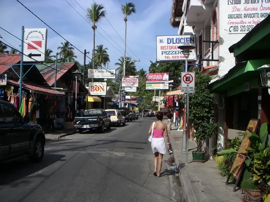
- This area is less touristy than the Colonial Zone, so knowing some basic Spanish is essential.
🍽 Food
Fried chicken with tostones at local street stands.
Hearty stew at family-run comedores.
Passion fruit juice at juice bars.
🛍 Shopping · 🧘 Quiet spots
Local market for fruits and everyday items.
For a more modern shopping experience.
Local corner stores for snacks and drinks.
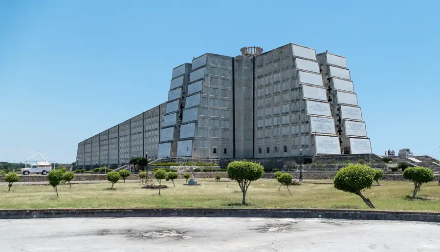
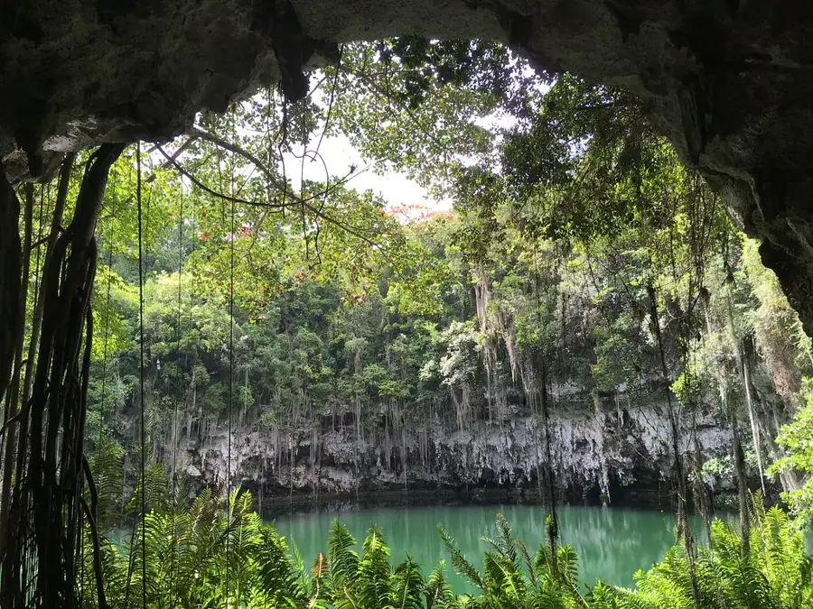
Colonial sugar mill ruins, great for a quiet walk.
Residential parks for a peaceful break.
Water temperature…
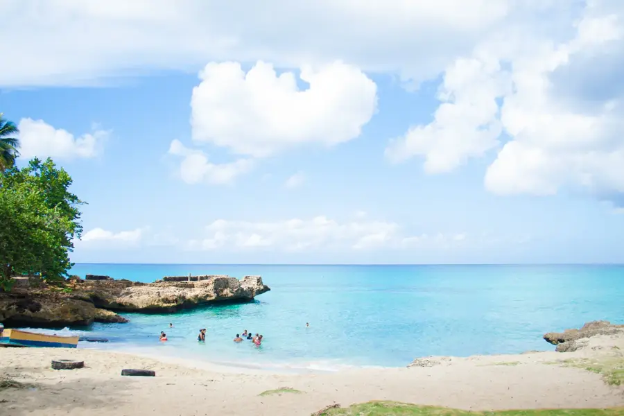
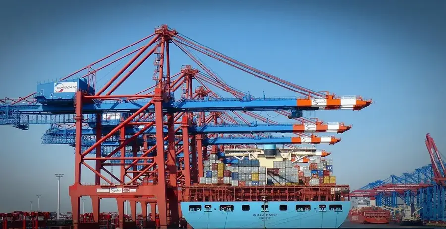
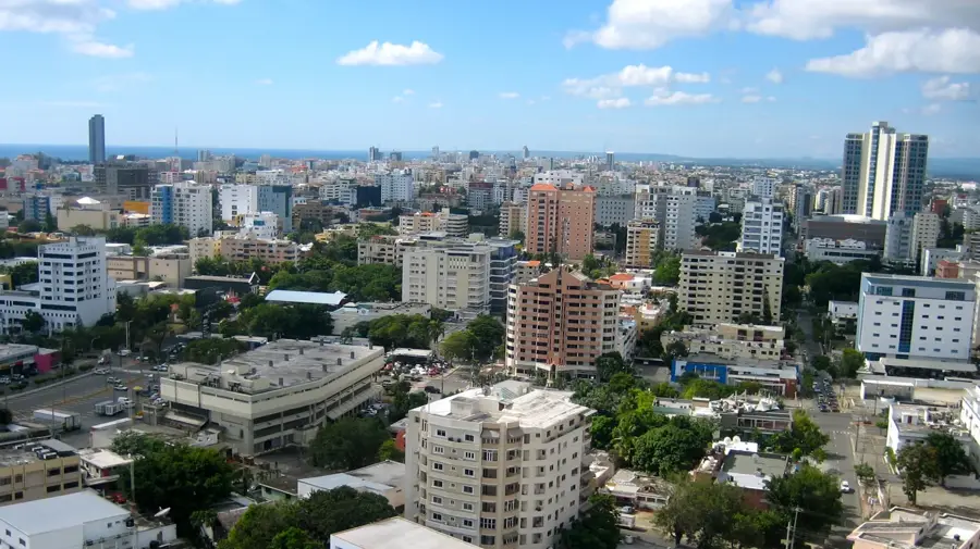
Santo Domingo Oeste is a prominent municipality within the Santo Domingo province of the Dominican Republic, established in 2001 during a strategic administrative division. Located to the west of the National District, it serves as a critical industrial and residential hub within the Greater Santo Domingo metropolitan area. The municipality is home to the Port of Haina, which stands as one of the country's most significant cargo terminals, playing a pivotal role in national and international trade. Its economic landscape is further defined by various free trade zones and manufacturing plants that take advantage of the proximity to the capital. Geographically, it borders the Caribbean Sea to the south and is intersected by major highways like the Autopista Duarte, facilitating commerce and transit. Over the past twenty years, Santo Domingo Oeste has seen substantial population growth and ongoing urban expansion, reflecting its importance to the nation's development.
- Location: Dominican Republic
- Nearby: Los Alcarrizos (7 km)
- Population: ~701.269 (2016)
Best time to visit & climate
The most pleasant time to visit is Jan–Mar.
| Jan | Feb | Mar | Apr | May | Jun | Jul | Aug | Sep | Oct | Nov | Dec | |
|---|---|---|---|---|---|---|---|---|---|---|---|---|
| Avg °C | 25 | 25 | 25 | 26 | 27 | 27 | 28 | 28 | 28 | 27 | 26 | 25 |
| Rain mm | 24 | 21 | 22 | 40 | 68 | 48 | 55 | 68 | 60 | 64 | 68 | 42 |
Geography
Facts
- The municipality was officially created on October 16, 2001, under Law 163-01.
- The Port of Haina is the primary economic driver and a major logistics hub.
- It constitutes a vital part of the Greater Santo Domingo metropolitan area.
- The Autopista Duarte highway provides a direct link to the northern provinces.
- Numerous industrial parks and free trade zones are established within its borders.
- The average elevation of the area is approximately 35 meters above sea level.
Explore nearby
Notable places around
Route planner — Car & Motorhome
Where do you start? We build the route here, with stops and country notes along the way.
© OpenStreetMap contributors · OpenRouteService
Sights in the town Santo Domingo Oeste (1)
Frequently asked questions
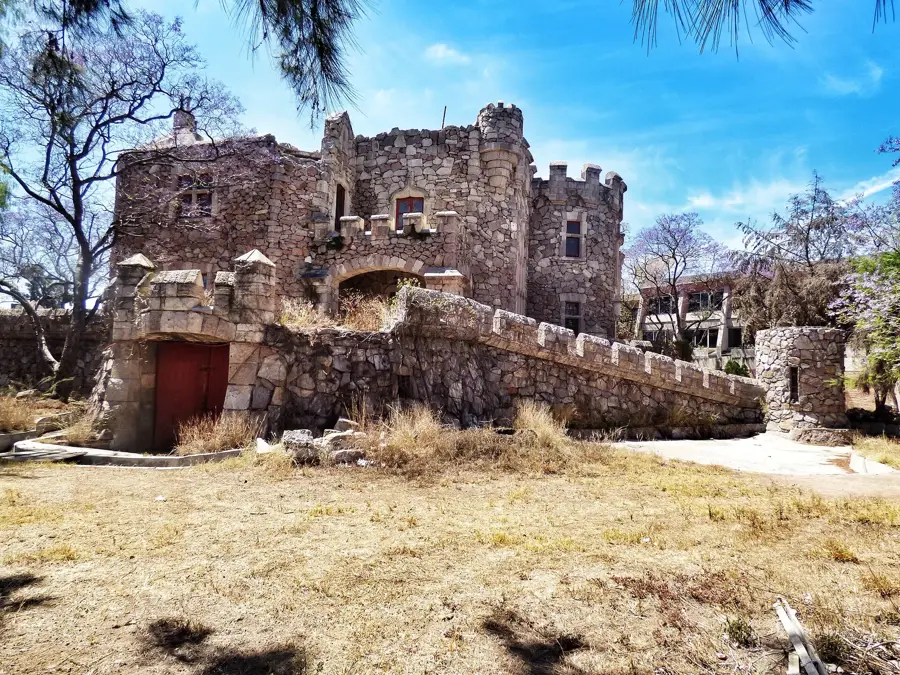
What are the ruins of Engombe?
Are there nature parks there?
Is it purely residential?
How do you get to Engombe?
Is visiting the ruins worth it?
Santo Domingo Oeste: where is it located?
Santo Domingo Oeste: when is the best time to visit?
Santo Domingo Oeste: why is it worth visiting?

Nearby cities


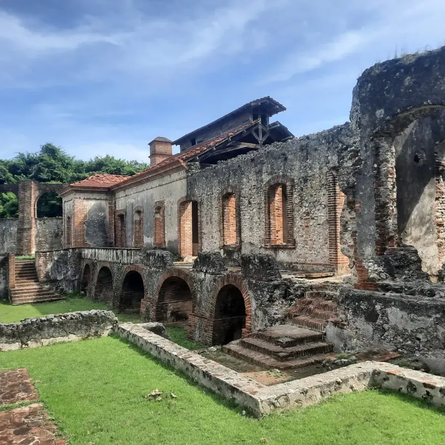


History & landmarks


Nature
More places