Plizio Visual Lab
Sierra Esmeralda

Weather…
Water temperature…
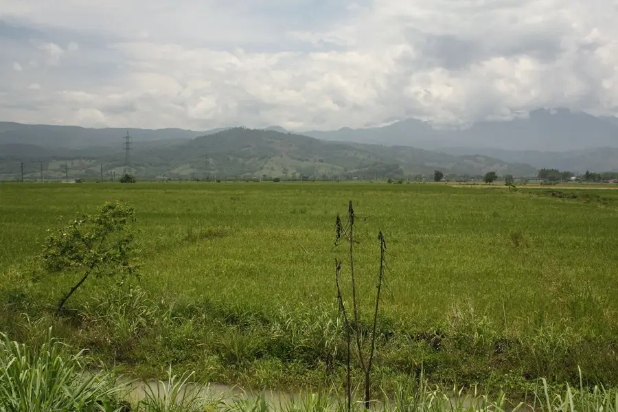
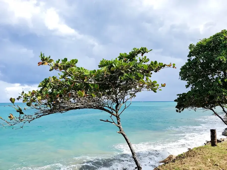
The Sierra Esmeralda is a photogenic mountain range in the eastern Dominican Republic, often regarded as part of the Cordillera Oriental. Its name is derived from the intense emerald green of the dense tropical vegetation that blankets its rolling hills. This Sierra is characterized by moderate elevations, rarely exceeding 500 meters, but offering spectacular views of Samaná Bay to the north. Geologically, it consists of Tertiary limestone, which has produced fertile soils for citrus cultivation and cattle ranching. In recent years, the region has gained prominence through sustainable ecotourism, with projects like 'Montaña Redonda' attracting visitors with their panoramic vistas. The Sierra is also a vital watershed for rivers draining into the eastern part of the island.
- Location: Dominican Republic
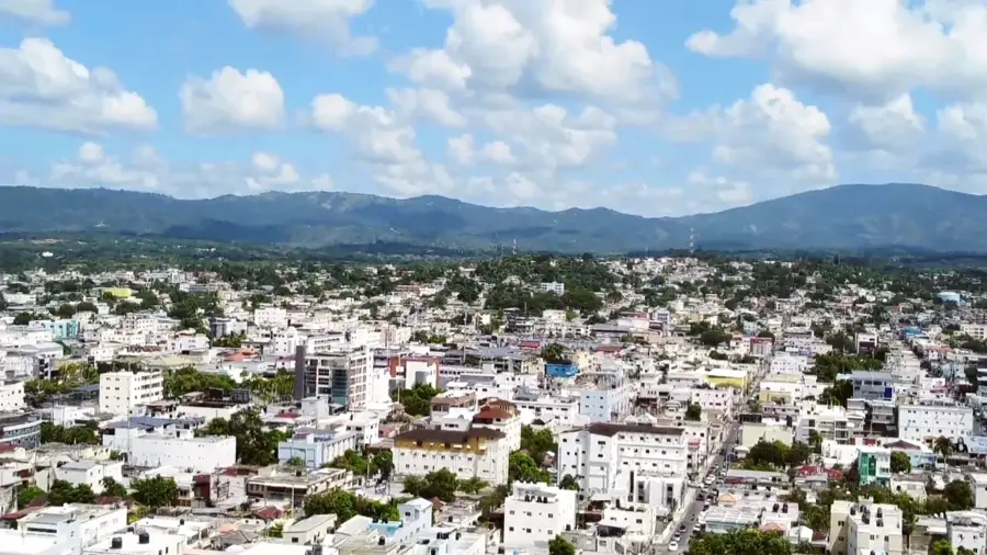
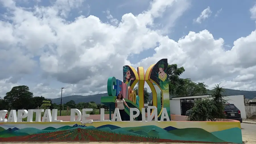
- Nearby: Cotuí (8 km)
Best time to visit & climate
The most pleasant time to visit is Jan–Mar.
| Jan | Feb | Mar | Apr | May | Jun | Jul | Aug | Sep | Oct | Nov | Dec | |
|---|---|---|---|---|---|---|---|---|---|---|---|---|
| Avg °C | 24 | 24 | 25 | 26 | 27 | 28 | 28 | 28 | 28 | 27 | 26 | 25 |
| Rain mm | 35 | 25 | 29 | 41 | 62 | 39 | 50 | 55 | 56 | 54 | 71 | 50 |
📋 Practical info
Geography
Facts
- The average elevation of the hills is between 300 and 400 meters.
- The name refers to the emerald-green appearance of the forests.
- Montaña Redonda is the most famous viewpoint in the region.
- The Sierra borders the Atlantic Ocean to the north.
- Citrus fruits are the most important agricultural product in the area.
- The region is an emerging destination for paragliding enthusiasts.
Explore nearby
Notable places around
Route planner — Car & Motorhome
Where do you start? We build the route here, with stops and country notes along the way.
© OpenStreetMap contributors · OpenRouteService
Sights nearby
Frequently asked questions
Where is the Sierra Esmeralda located?
What can you see there?
Is it suitable for ecotourism?
What is the most famous place nearby?
What is the best way to get there?
Sierra Esmeralda: where is it located?
Sierra Esmeralda: when is the best time to visit?
Sierra Esmeralda: why is it worth visiting?

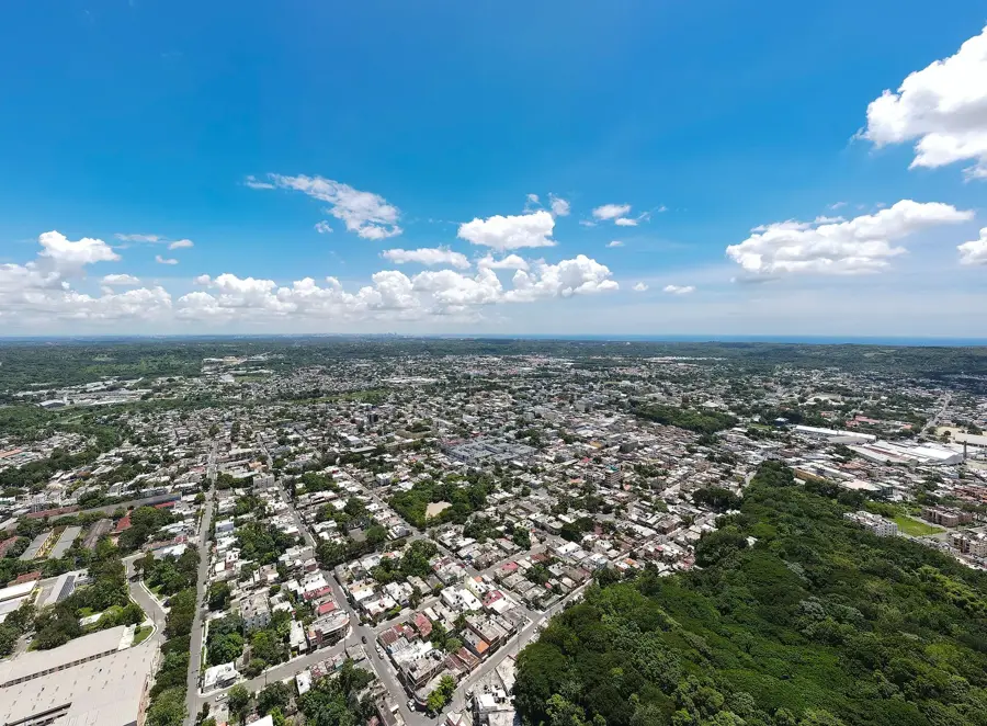
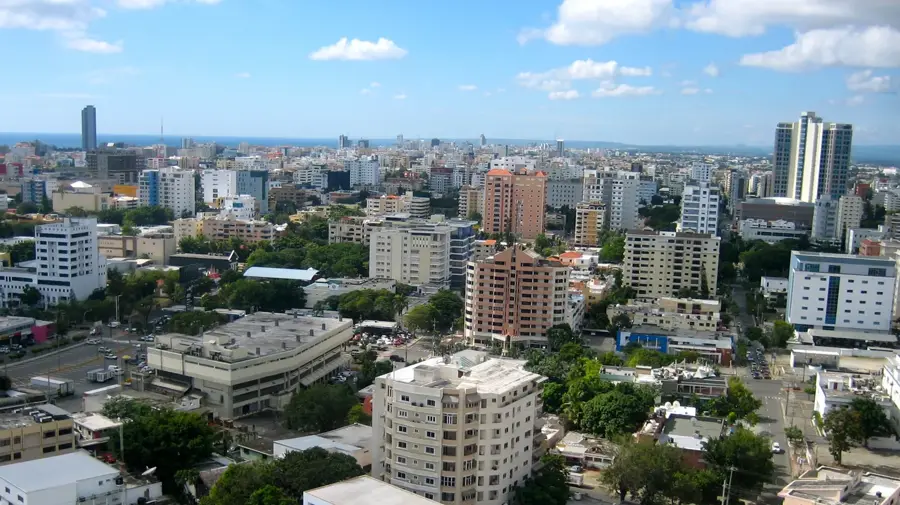
Nearby cities


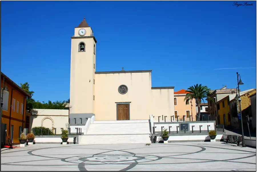

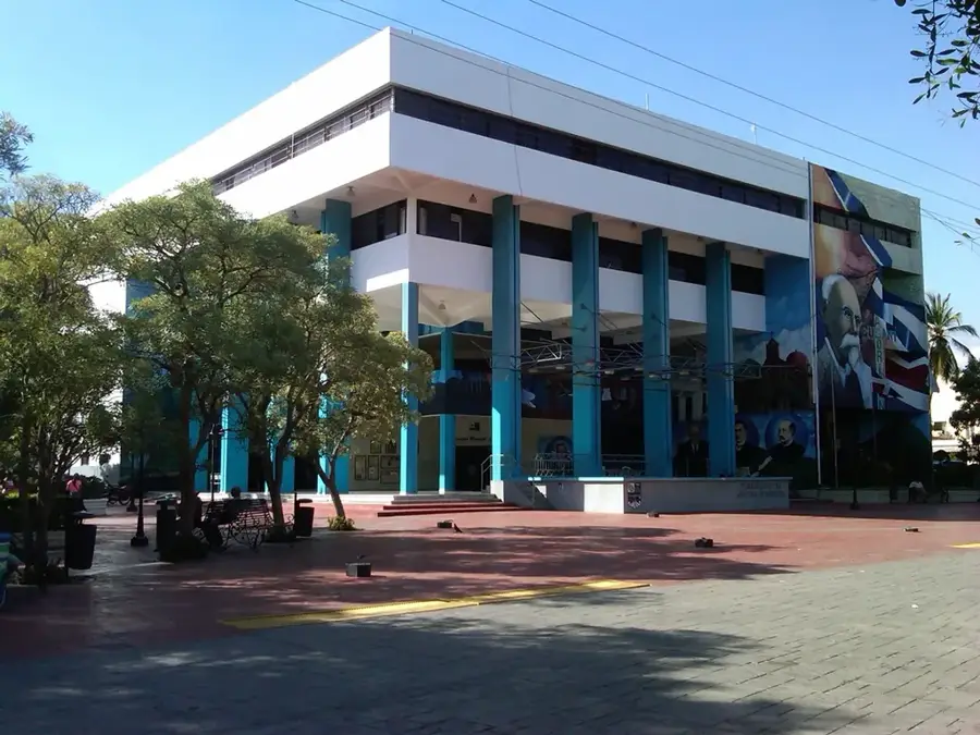

History & landmarks


Nature
More places