Plizio Visual Lab
San Antonio del Sur
ℹ️Practical info — San Antonio del Sur
▾
🌤 Weather — 5 days
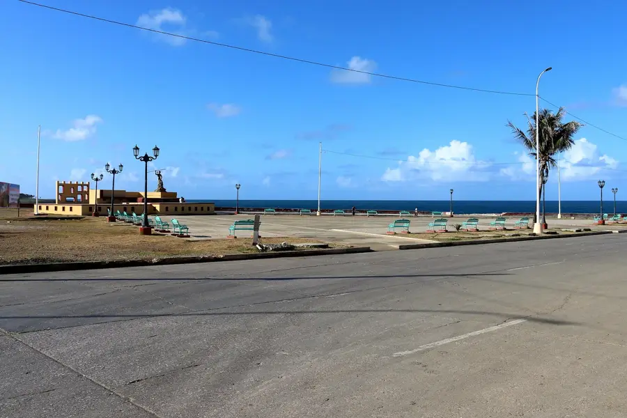
📍 Nearby
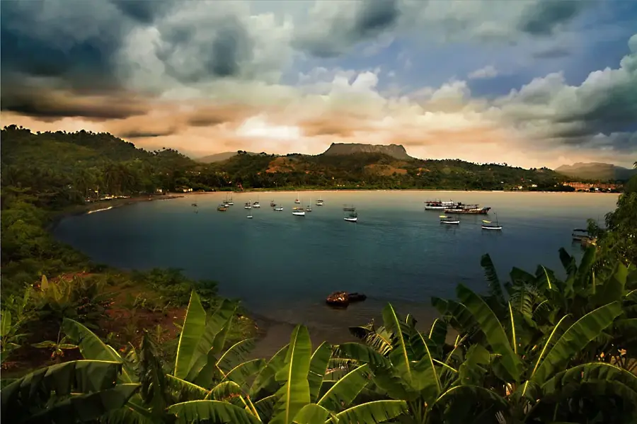
Sights nearby
💡 Tips
- Given the extreme heat and dry climate, plan outdoor activities for early morning or late afternoon.
- Visit the local beaches, keeping in mind that tourist facilities might be limited.
- Public transport is scarce; consider hiring a local taxi for excursions into the nearby areas.
- Bring plenty of drinking water when exploring, as small shops outside the center may not be well-stocked.
🍽 Food
Look for small, privately run restaurants (paladares) near the coast for the best seafood.
This traditional rice and bean dish is served in most local eateries around the center.
Buy fresh fruits in the morning from local farmers' stands.
🛍 Shopping · 🧘 Quiet spots
Visit the market early in the day for the best selection of regional produce.
Look out for small stands by local artisans in the town center.
Enjoy a quiet stroll along the coast away from the populated areas.
A peaceful spot to rest in the shade during the afternoon.
Water temperature…
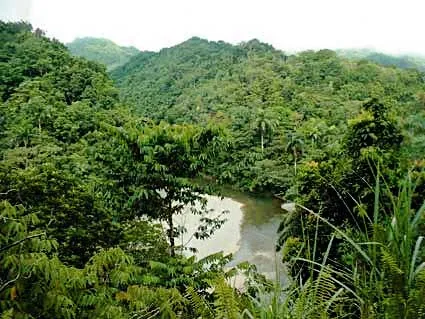
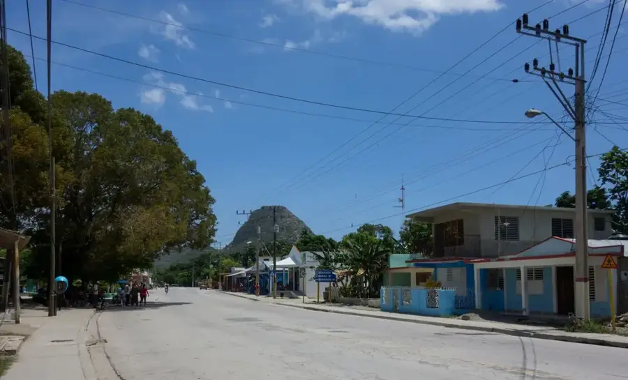
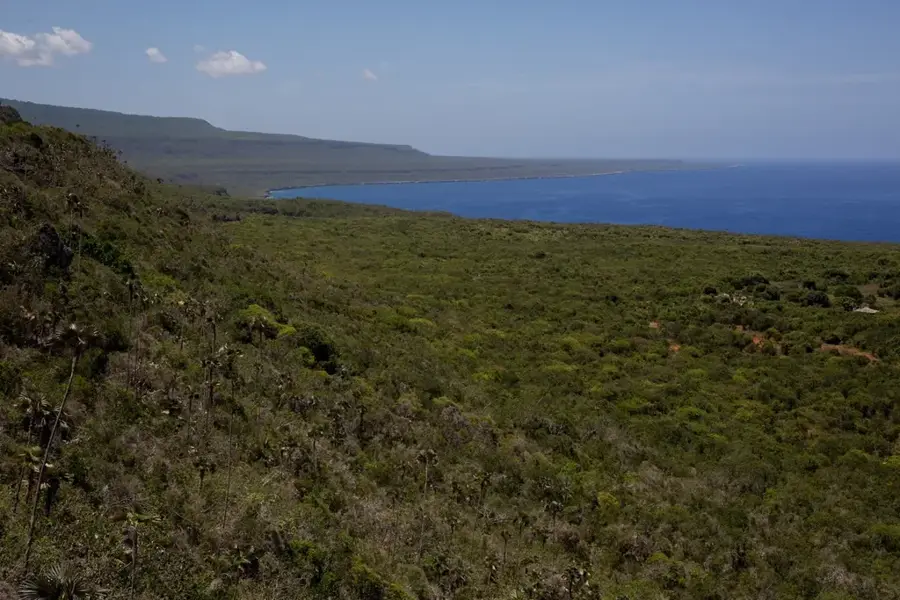
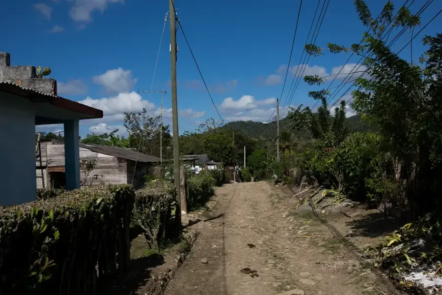
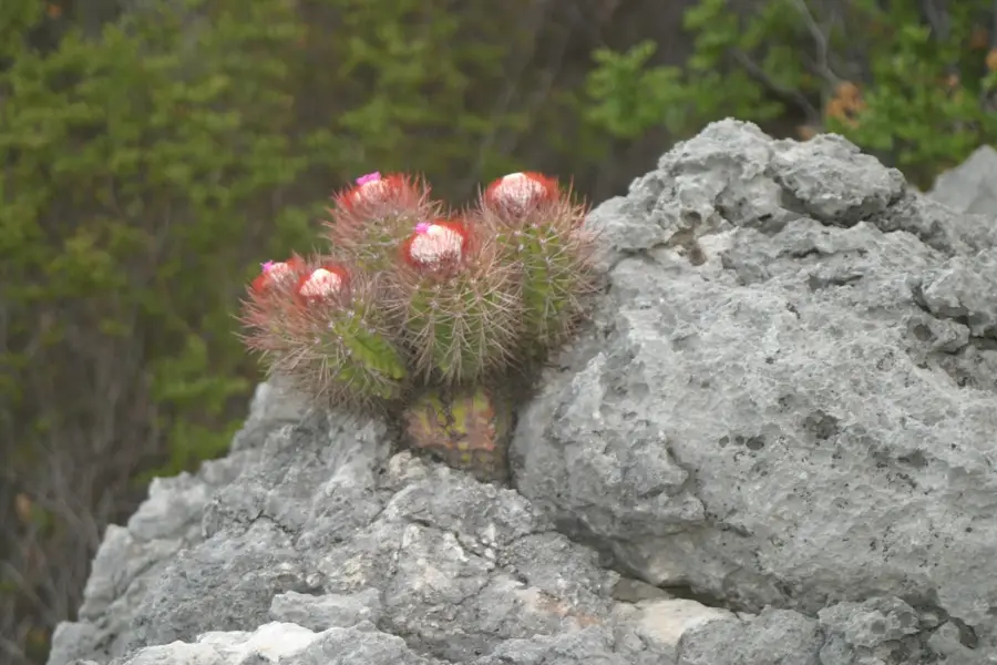
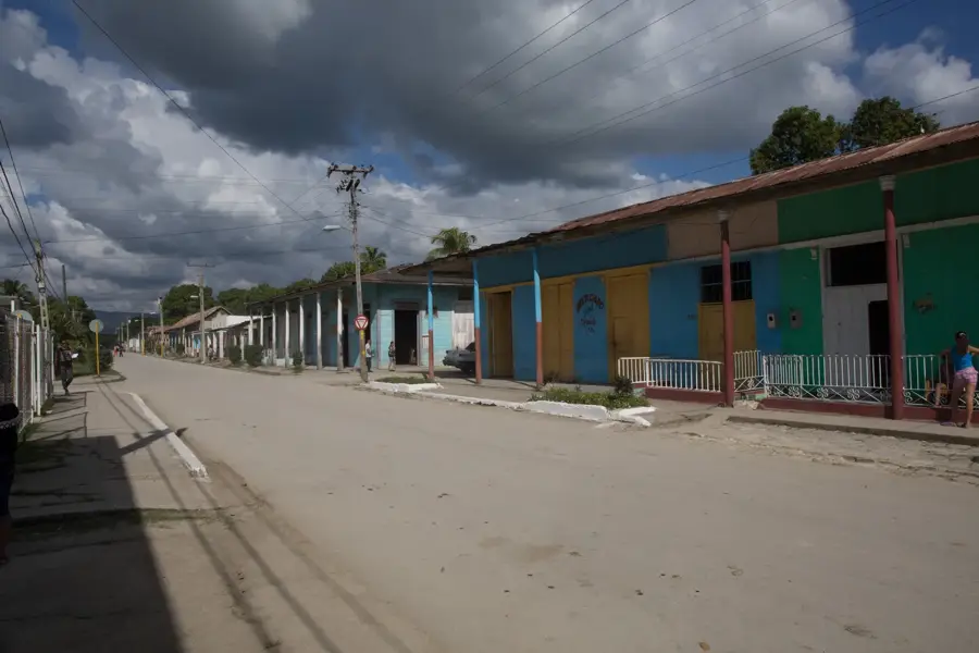
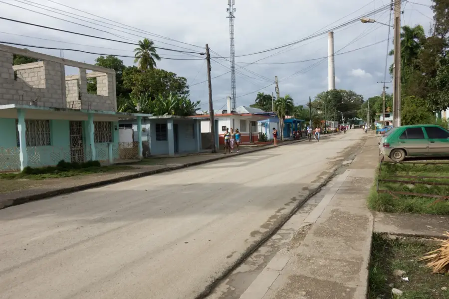
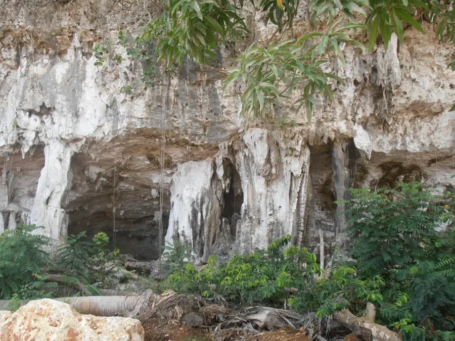
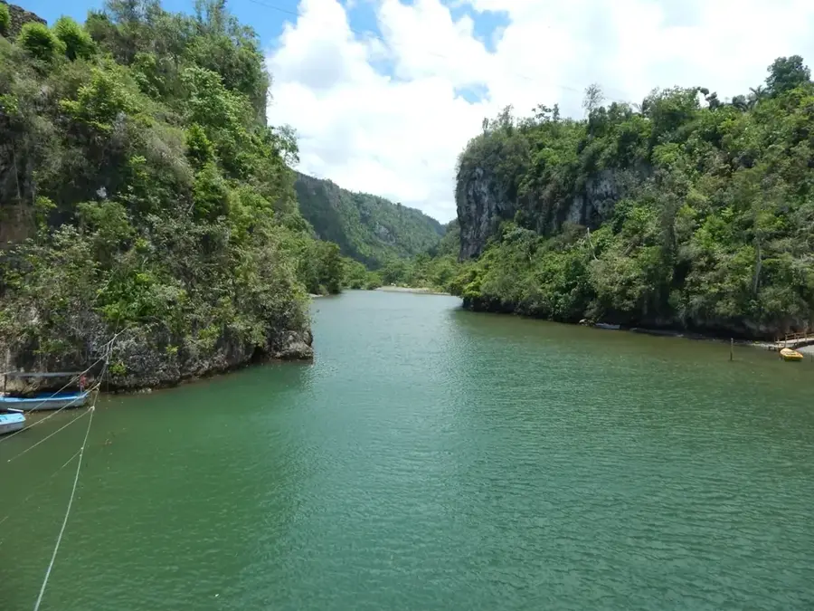
San Antonio del Sur is a municipality in the Guantánamo Province of southeastern Cuba, distinguished by its semi-arid landscapes and unique geological features. The area covers approximately 585 square kilometers and is home to the fertile Caujerí Valley, which serves as a major agricultural hub for the production of tomatoes and various vegetables. One of its most prominent natural landmarks is the Abra de Mariana, a deep river gorge carved by the Sabanalamar River that provides dramatic views of the surrounding terrain. The southern coastline along the Caribbean Sea is known for its dry climate and cactus-dominated vegetation, creating a sharp contrast with the greener mountain ranges located further inland. Administratively, the municipality was consolidated in its current form in 1976 during Cuba's territorial restructuring. The local economy is driven almost entirely by agriculture and livestock farming, adapted to the region's specific environmental challenges.
- Location: Cuba
- Nearby: Yateras (16 km)
Best time to visit & climate
The most pleasant time to visit is Jan–Mar.
| Jan | Feb | Mar | Apr | May | Jun | Jul | Aug | Sep | Oct | Nov | Dec | |
|---|---|---|---|---|---|---|---|---|---|---|---|---|
| Avg °C | 25 | 25 | 26 | 27 | 27 | 28 | 29 | 29 | 29 | 28 | 26 | 26 |
| Rain mm | 21 | 16 | 19 | 29 | 62 | 62 | 37 | 44 | 65 | 126 | 63 | 28 |
Geography
Facts
- The municipality covers a total land area of 585 square kilometers.
- The Caujerí Valley is one of the most productive agricultural sites in the province.
- San Antonio del Sur is located approximately 60 kilometers east of Guantánamo city.
- Annual rainfall in this region is among the lowest recorded in Cuba.
- The Abra de Mariana is a protected area of significant geological importance.
- The current administrative boundaries were established on July 3, 1976.
Explore nearby
Notable places around
Route planner — Car & Motorhome
Where do you start? We build the route here, with stops and country notes along the way.
© OpenStreetMap contributors · OpenRouteService
Frequently asked questions
What is the most striking feature of San Antonio del Sur?
Are there swimmable beaches there?
What is the vegetation like?
Are there viewpoints along the road?
What is the main occupation of the inhabitants?
San Antonio del Sur: where is it located?
San Antonio del Sur: when is the best time to visit?
San Antonio del Sur: why is it worth visiting?

Nearby cities

Nature
More places