Plizio Visual Lab
Manuel Tames
ℹ️Practical info — Manuel Tames
▾
🌤 Weather — 5 days
📍 Nearby
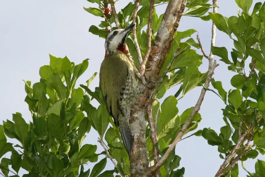
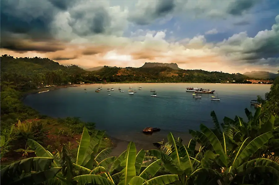
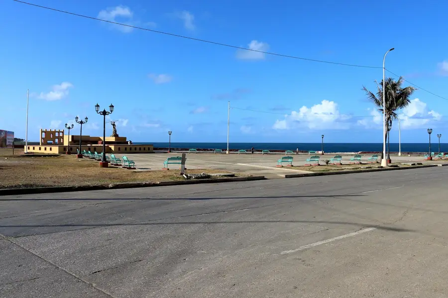
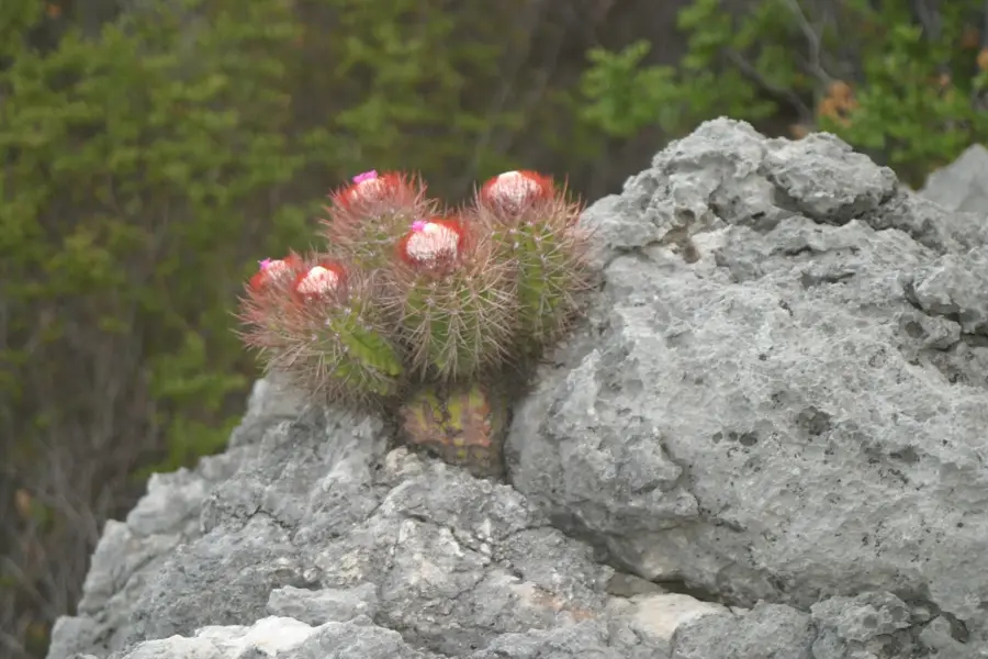
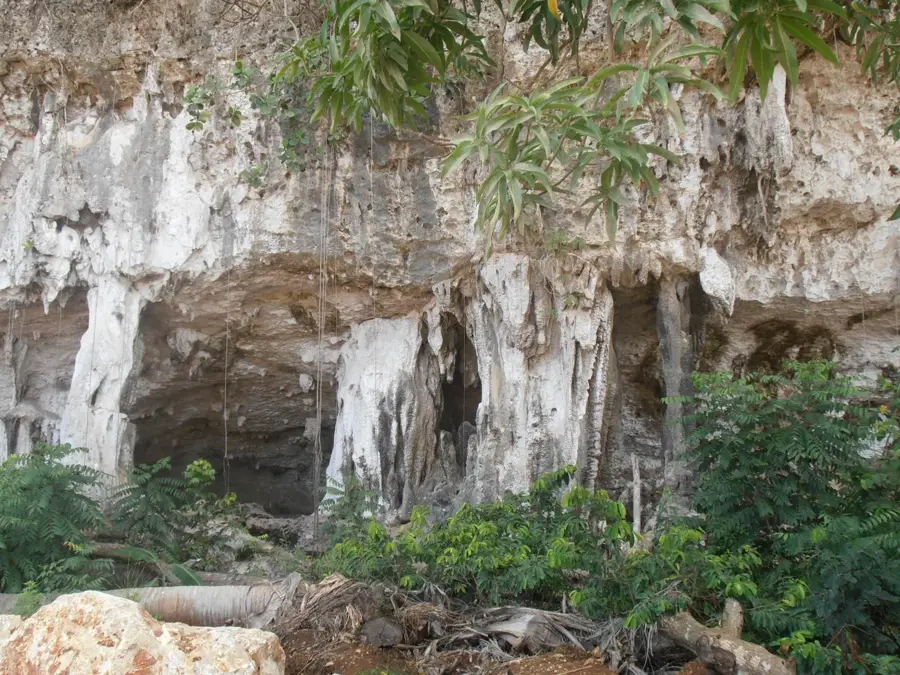
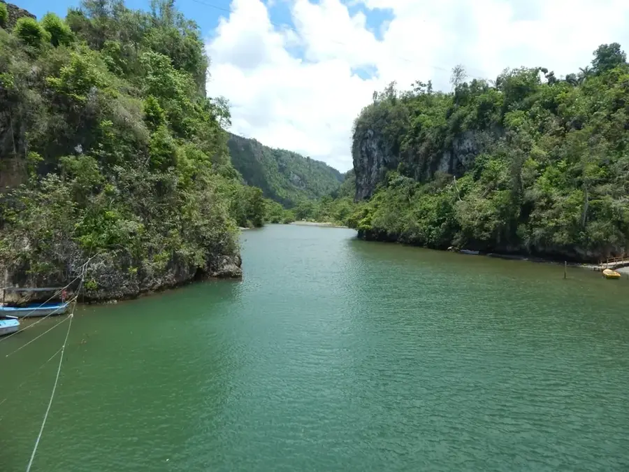
Sights nearby
💡 Tips
- The agricultural setting means early mornings are the best time to see local life.
- Drink the local coffee; it's some of the freshest in the region.
- Roads can be rough, so expect bumpy rides if traveling by local truck (camión).
- Bring mosquito repellent, especially useful in the lush, farming areas.
🍽 Food
Enjoy a small cup of strong, locally grown coffee in the morning.
Boiled root vegetables like yuca and malanga, a staple side dish.
Pork fricassee, often served in small local dining spots.
🛍 Shopping · 🧘 Quiet spots
Ask locals if you can buy some freshly roasted coffee directly from them.
The center of town commerce where you can find fresh produce.
Ask permission to walk through a nearby finca for a peaceful experience.
Find a quiet, breezy spot overlooking the green valleys.
Water temperature…
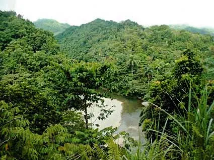
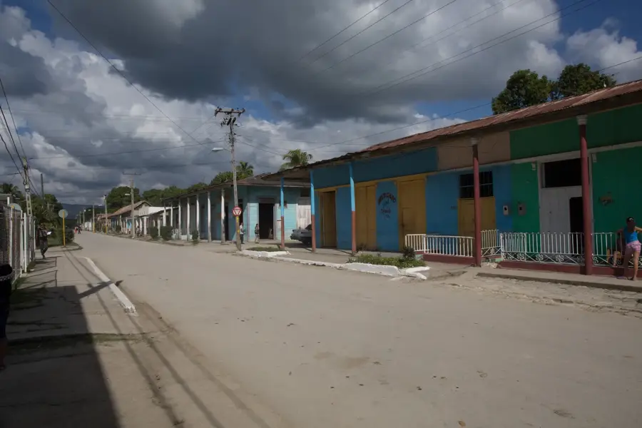
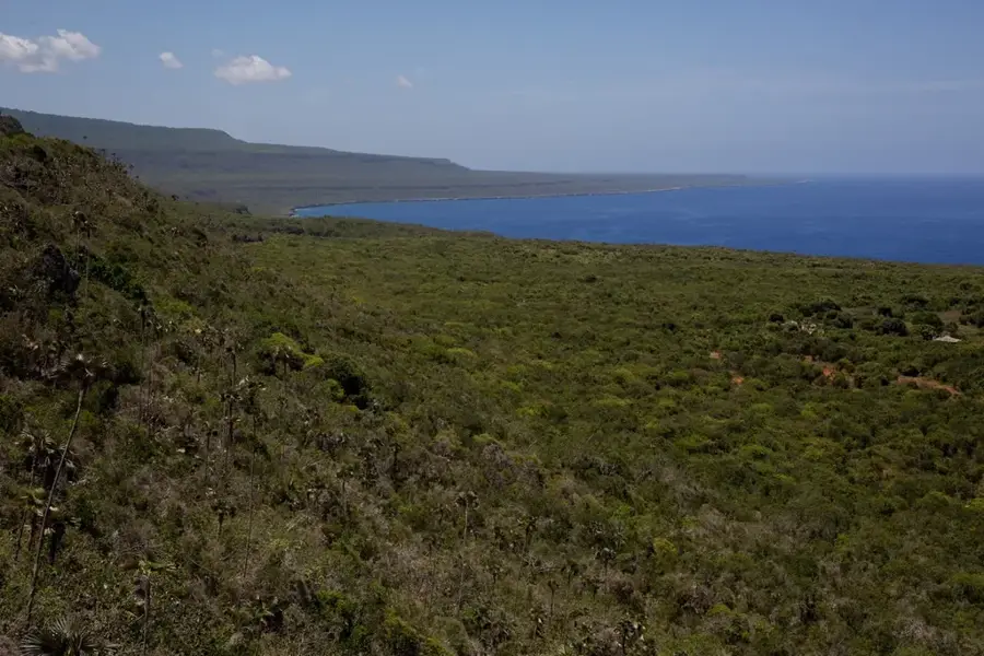
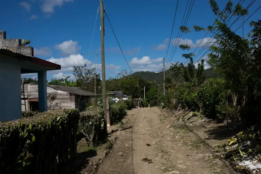
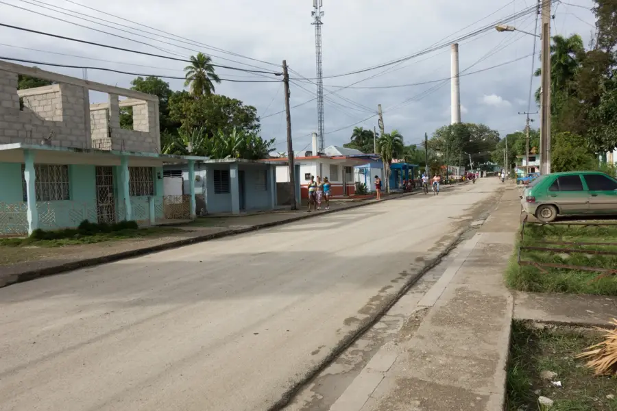
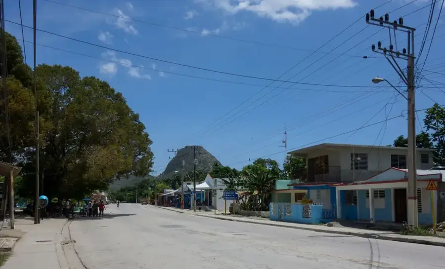
Manuel Tames is a municipality in the Guantánamo Province of southeastern Cuba, named after a martyr of the Cuban Revolution. The administrative center is located in the town of Jamaica, situated approximately 15 kilometers northeast of the provincial capital, Guantánamo. Geographically, the area is defined by its rolling hills and proximity to the Nipe-Sagua-Baracoa mountain range. The local economy has historically centered on the agricultural sector, specifically the cultivation and processing of sugar cane, which was the primary industry for generations. In recent years, there has been a significant shift toward diversifying crop production to include bananas, corn, and various vegetables. The municipality covers an area of about 526 square kilometers and has a population density reflecting its rural character. The region's infrastructure remains closely tied to the transport networks originally built to support the sugar mills that once dominated the landscape.
- Location: Cuba
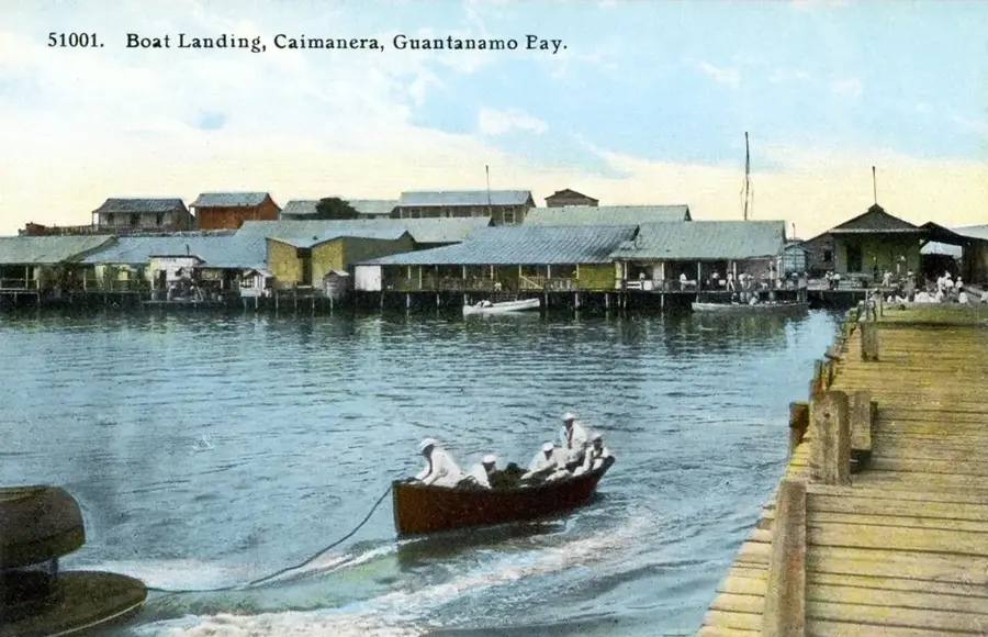
- Nearby: Caimanera (12 km)
Best time to visit & climate
The most pleasant time to visit is Jan–Mar.
| Jan | Feb | Mar | Apr | May | Jun | Jul | Aug | Sep | Oct | Nov | Dec | |
|---|---|---|---|---|---|---|---|---|---|---|---|---|
| Avg °C | 25 | 25 | 26 | 27 | 27 | 28 | 29 | 29 | 29 | 28 | 26 | 26 |
| Rain mm | 21 | 16 | 19 | 29 | 62 | 62 | 37 | 44 | 65 | 126 | 63 | 28 |
Geography
Facts
- The municipality was officially established in 1976.
- The administrative seat is located in the town of Jamaica.
- The total land area is approximately 526 square kilometers.
- The economy relies on sugar cane and vegetable farming.
- It is located in Guantánamo, Cuba's easternmost province.
- The region is part of the Nipe-Sagua-Baracoa mountain system.
Explore nearby
Notable places around
Route planner — Car & Motorhome
Where do you start? We build the route here, with stops and country notes along the way.
© OpenStreetMap contributors · OpenRouteService
Frequently asked questions
What is special about Manuel Tames?
What products are grown here?
Are there tourist attractions?
What is the landscape like?
Can Manuel Tames be visited from Guantánamo city?
Manuel Tames: where is it located?
Manuel Tames: when is the best time to visit?
Manuel Tames: why is it worth visiting?

Nearby cities

Nature
More places