Plizio Visual Lab
Cuchillas de Baracoa
Weather…
Water temperature…
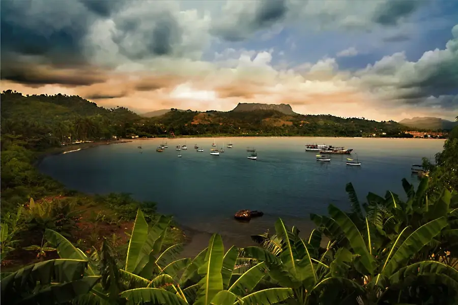
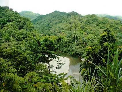
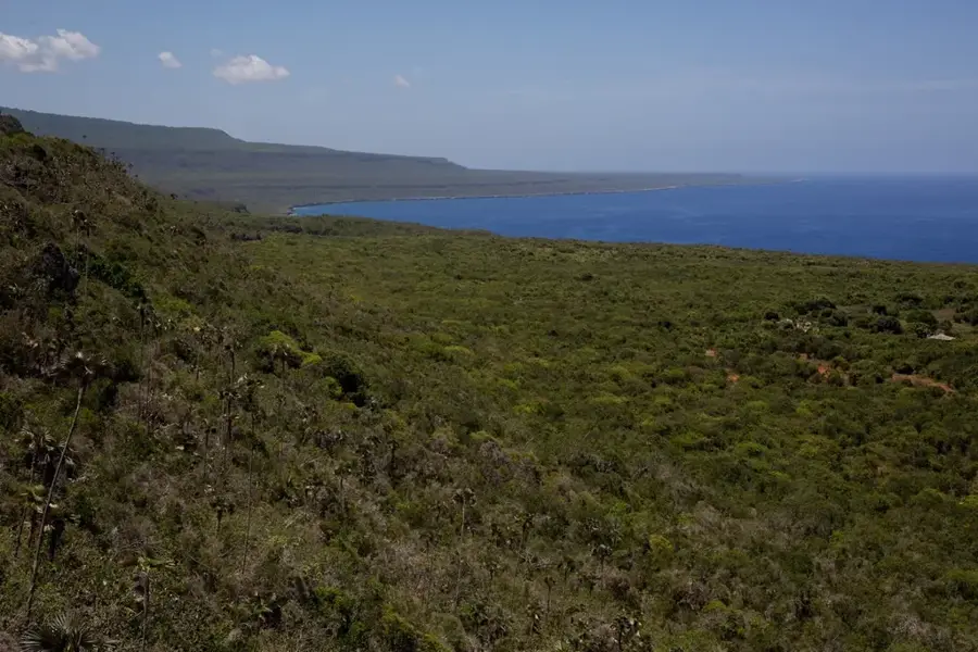
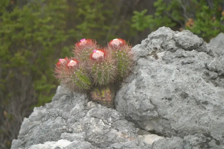
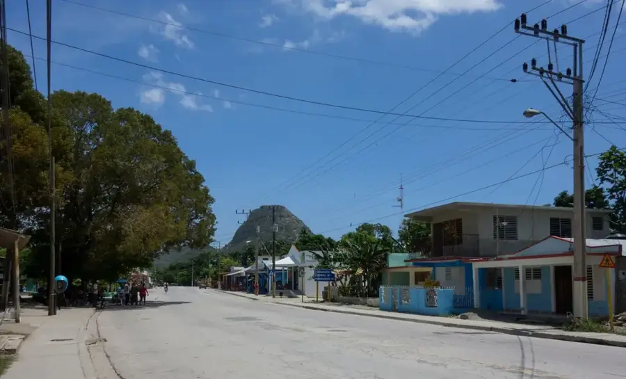
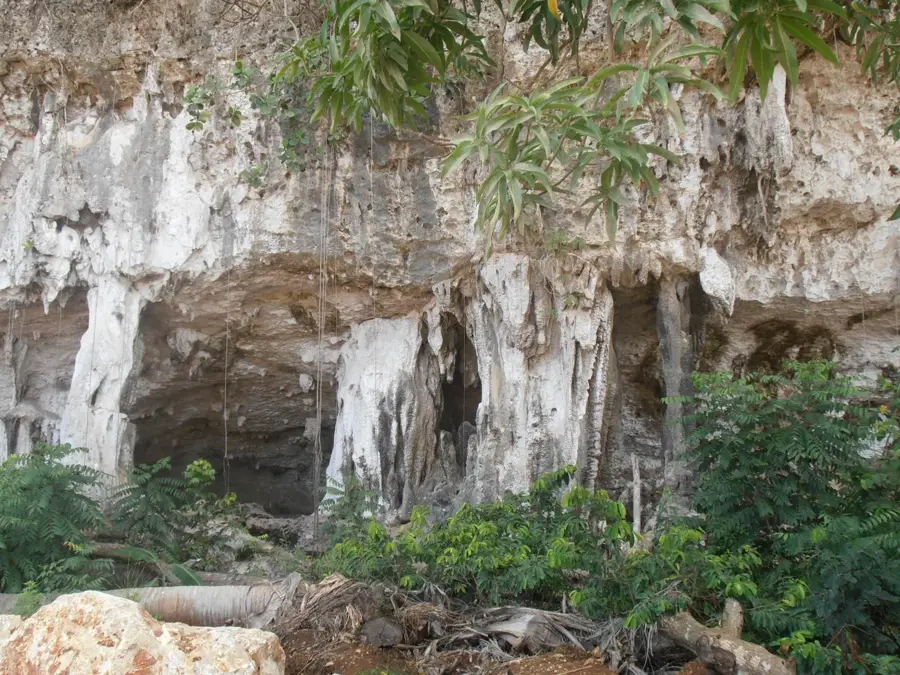
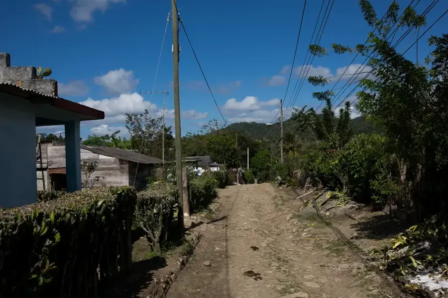
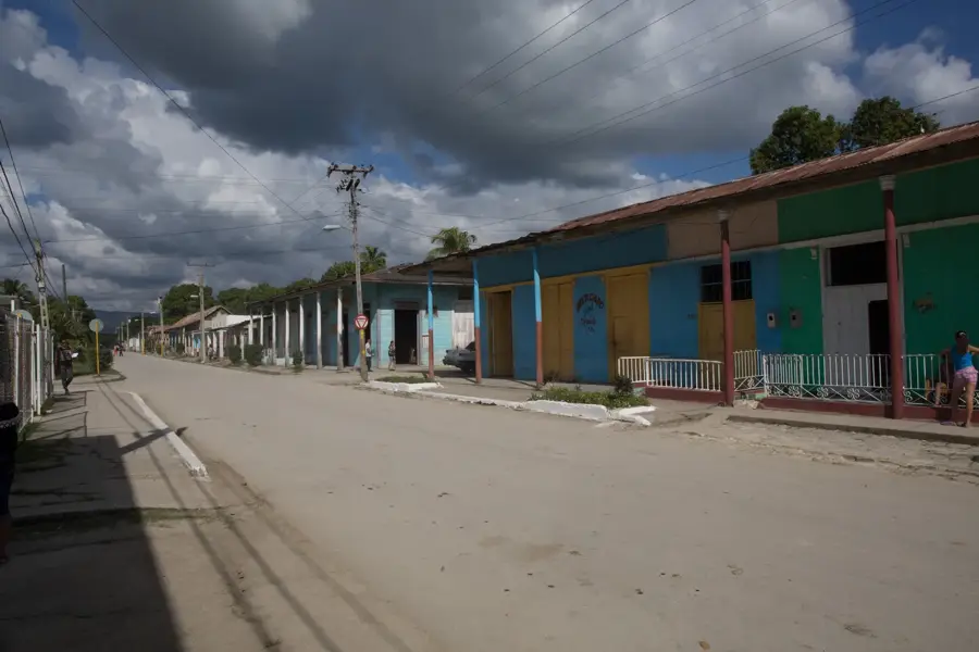
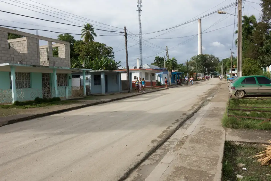
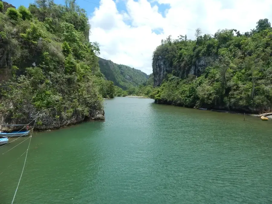
The Cuchillas de Baracoa is a rugged mountain system in the far east of Cuba, within the Guantánamo province. Part of the Nipe-Sagua-Baracoa massif, this region is characterized by extremely steep slopes and deeply incised river valleys, earning it the name 'Cuchillas' (knives). It is one of the rainiest areas on the island, resulting in lush, jungle-like vegetation and numerous high-volume rivers like the Toa. Geologically, the area is highly complex, consisting of a mix of ophiolites and sedimentary layers that harbor a high concentration of endemic species. Much of the region is protected within the Alexander von Humboldt National Park, a UNESCO World Heritage site. Historically, the area remained isolated for a long time due to its ruggedness, which helped preserve unique cultural traditions and nearly pristine nature. The local economy traditionally relies on cocoa and coconut cultivation. For adventurers, the Cuchillas offer challenging hiking trails through some of the wildest landscapes in the Caribbean.
- Location: Cuba
- Nearby: Imías (11 km)
Best time to visit & climate
The most pleasant time to visit is Jan–Mar.
| Jan | Feb | Mar | Apr | May | Jun | Jul | Aug | Sep | Oct | Nov | Dec | |
|---|---|---|---|---|---|---|---|---|---|---|---|---|
| Avg °C | 25 | 25 | 25 | 26 | 27 | 28 | 28 | 28 | 28 | 28 | 27 | 26 |
| Rain mm | 35 | 23 | 32 | 41 | 97 | 77 | 51 | 69 | 93 | 142 | 81 | 41 |
📋 Practical info
Geography
Facts
- The Toa River is the most voluminous river in Cuba.
- The region receives up to 3,000 mm of rainfall annually.
- Alexander von Humboldt National Park was inscribed by UNESCO in 2001.
- Over 70% of the plant species found here are endemic.
- El Yunque (575 m) is the region's most famous tabletop mountain.
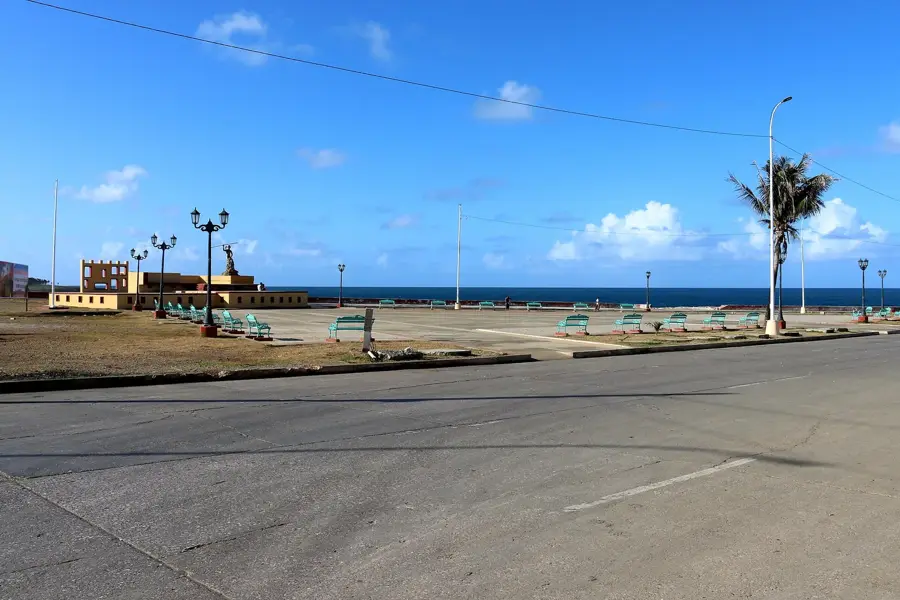
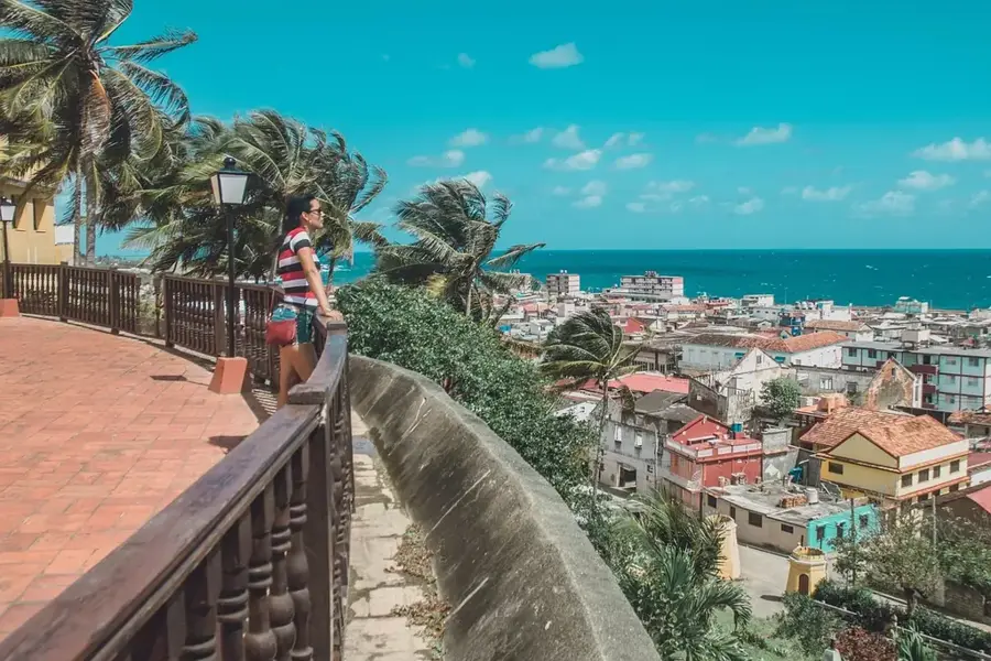
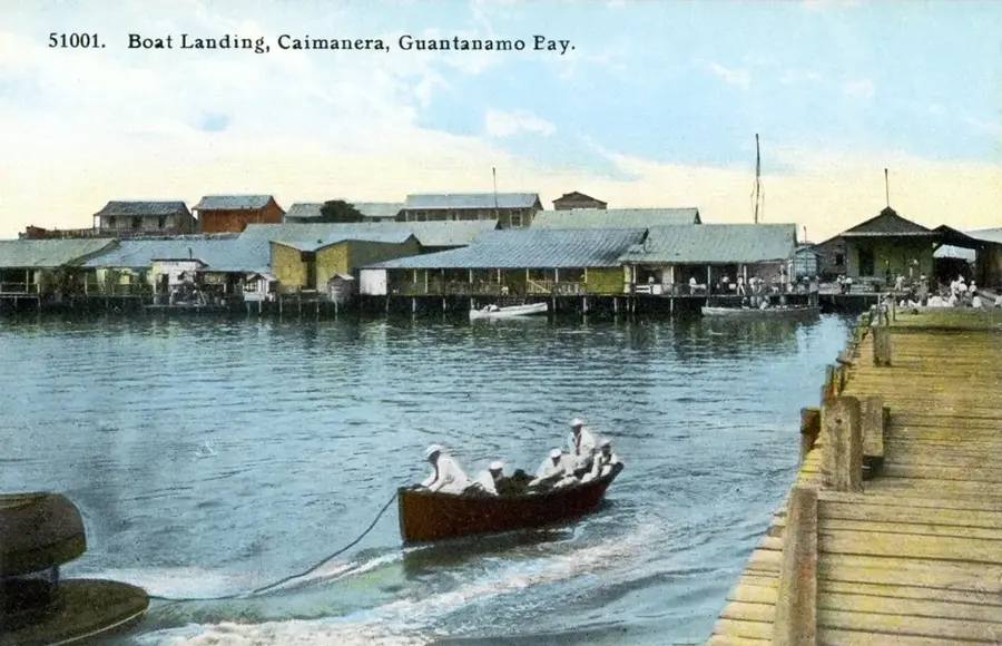
- Baracoa was the first Spanish settlement in Cuba, founded in 1511.
Explore nearby
Notable places around
Route planner — Car & Motorhome
Where do you start? We build the route here, with stops and country notes along the way.
© OpenStreetMap contributors · OpenRouteService
Sights nearby
Frequently asked questions
What are the Cuchillas de Baracoa?
What is El Yunque?
What is the vegetation like in Baracoa?
Can you swim in the Toa River?
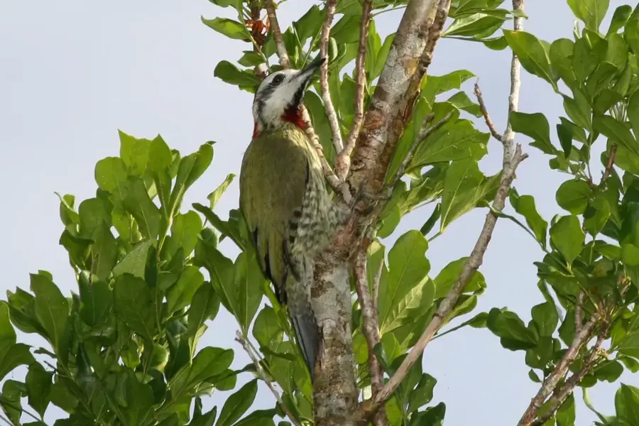
What animals live in these mountains?
Cuchillas de Baracoa: where is it located?
Cuchillas de Baracoa: when is the best time to visit?
Cuchillas de Baracoa: why is it worth visiting?

Nearby cities

Nature
More places