Plizio Visual Lab
Maisí
ℹ️Practical info — Maisí
▾
🌤 Weather — 5 days
📍 Nearby
Sights nearby
💡 Tips
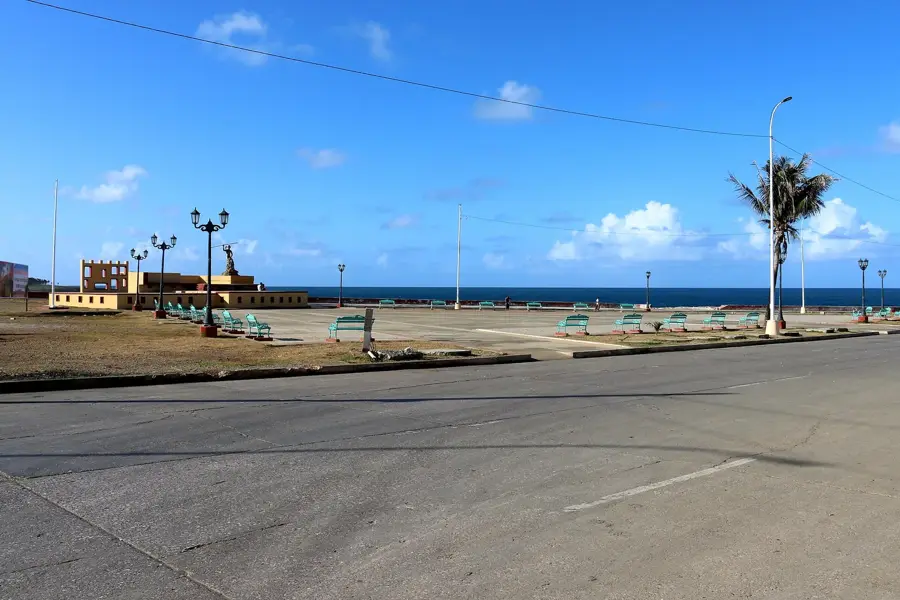
- The Punta de Maisí lighthouse is a must-see, best visited in the morning for clear views.
- The drive here is winding and steep; ensure your vehicle is in good condition.
- Explore the unique marine terraces, a geological marvel of the region.
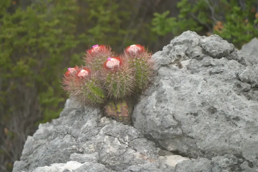
- Weather can be surprisingly arid here compared to the rest of the island, so bring sun protection.
🍽 Food
Try local fish dishes at small eateries near the coast.
A seasonal delicacy of small fish, often prepared with tomato sauce or garlic.
A traditional sweet from the eastern region, made of coconut and fruits, usually sold in palm leaves.
🛍 Shopping · 🧘 Quiet spots
Look for vendors selling local crafts and Cucurucho along the roads leading to Baracoa.
Great for basic goods and fresh local produce.
A secluded natural pool in the area, great for a quiet swim.
Walk along the remote coastline away from the main lighthouse area.
Water temperature…
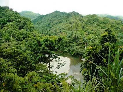
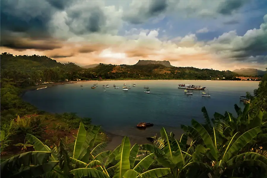
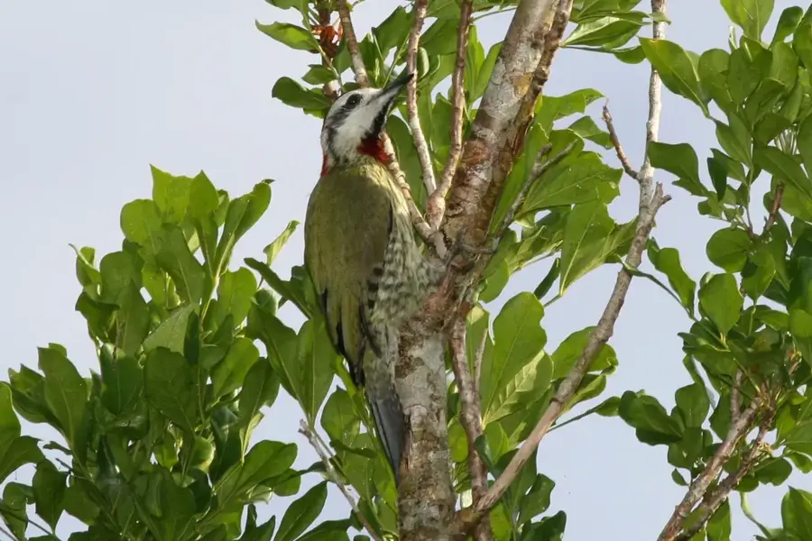
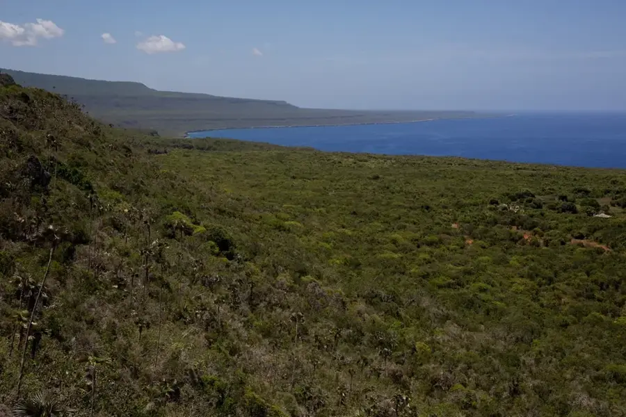
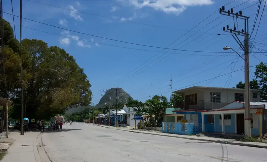
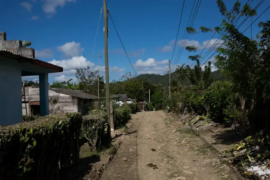
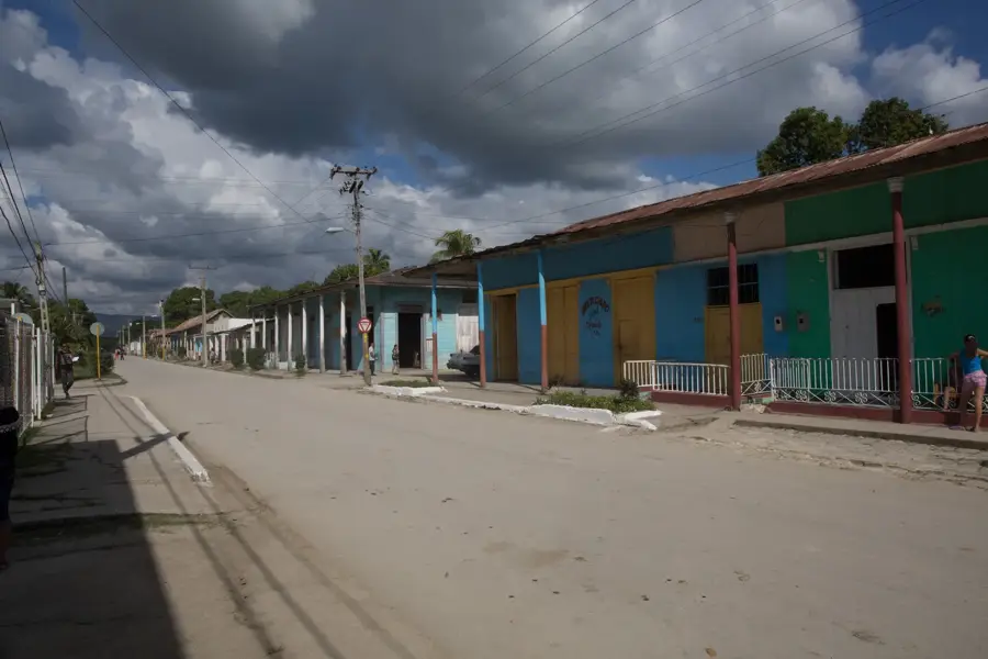
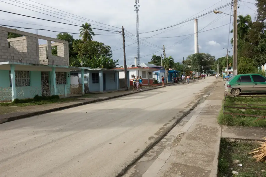
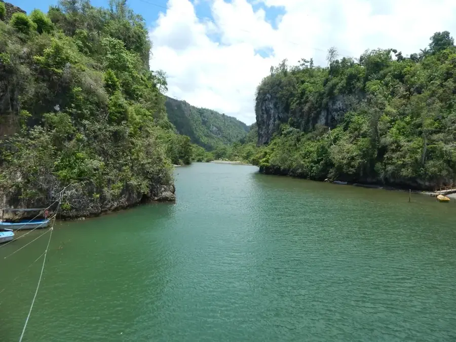
The municipality of Maisí is situated at the easternmost tip of Cuba in Guantánamo province, facing the Windward Passage that separates the island from Haiti. The region is internationally renowned for its spectacular elevated marine terraces, which are among the best-preserved geological formations of their kind in the world. The local economy is primarily driven by coffee cultivation in the mountainous areas, as well as cocoa and citrus production. A major landmark is the La Concha lighthouse at Punta de Maisí, which has guided maritime traffic in the strategic channel since its completion in 1862. Due to its rugged topography and geographic isolation, Maisí remained one of Cuba's least accessible regions for decades, preserving unique local customs and traditions. The area's ecology is diverse, hosting numerous endemic species within its varied microclimates ranging from arid coastal strips to humid highlands. As the nation's far eastern frontier, Maisí is a site of immense geographic and environmental significance.
- Location: Cuba
- Top sights: Cape Maisí · Punta Maisí Lighthouse
- Nearby: Boca de Yumurí (16 km)
- Population: ~28.276 (2023)
Best time to visit & climate
The most pleasant time to visit is Jan–Mar.
| Jan | Feb | Mar | Apr | May | Jun | Jul | Aug | Sep | Oct | Nov | Dec | |
|---|---|---|---|---|---|---|---|---|---|---|---|---|
| Avg °C | 26 | 26 | 26 | 26 | 27 | 28 | 29 | 29 | 29 | 29 | 27 | 27 |
| Rain mm | 38 | 21 | 28 | 35 | 92 | 81 | 64 | 81 | 101 | 137 | 82 | 39 |
Geography
Facts
- Maisí contains the easternmost point of the island of Cuba (Punta de Maisí).
- The La Concha lighthouse was first put into service in 1862.
- The area features world-class examples of elevated marine terraces.
- Coffee production is the primary economic activity of the municipality.
- The shortest distance across the sea to Haiti is only about 77 km.
- The municipality covers an area of approximately 525 square kilometers.
Explore nearby
Notable places around
Route planner — Car & Motorhome
Where do you start? We build the route here, with stops and country notes along the way.
© OpenStreetMap contributors · OpenRouteService
Sights in the town Maisí (2)
Frequently asked questions
Where is Maisí located?
What is the main attraction?
What is the landscape like?
Are there coffee plantations?
How far is it from Baracoa?
Maisí: where is it located?
Maisí: what is there to see?
Maisí: when is the best time to visit?
Maisí: why is it worth visiting?

Nearby cities

Nature
More places