Plizio Visual Lab
Imías
ℹ️Practical info — Imías
▾
🌤 Weather — 5 days
📍 Nearby
Sights nearby
💡 Tips
- Visit the nearby Playitas de Cajobabo, a deeply historical landing site of José Martí.
- The local climate is notoriously dry and semi-arid; sun protection is crucial here.
- Renting a car or taking a shared taxi (máquina) is the most reliable way to explore the coastal road.
- Bring water shoes or sandals for the rocky, terraced beaches common in this area.
🍽 Food
Ask at local paladares (private family restaurants) along the coastal highway.
The quintessential Cuban side dish served in almost every local eatery.
Fresh mango or guava juice from roadside food stalls.
🛍 Shopping · 🧘 Quiet spots
Buy directly from farmers' stands along the main roads for the best prices.
Occasionally sold by local artisans near historical monuments.
Take a walk along the unique, rocky shoreline overlooking the Caribbean.
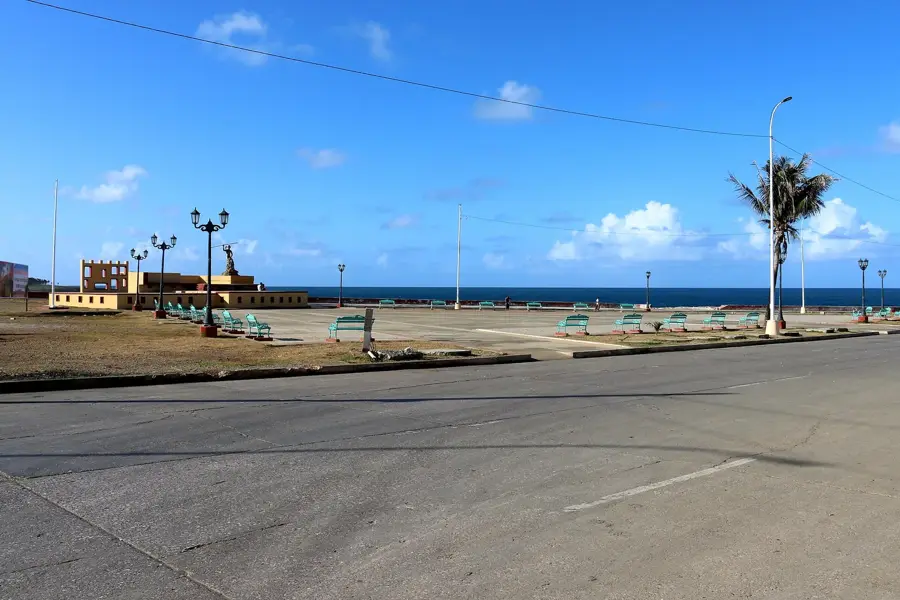
A quiet, somewhat remote beach with significant historical importance.
Water temperature…
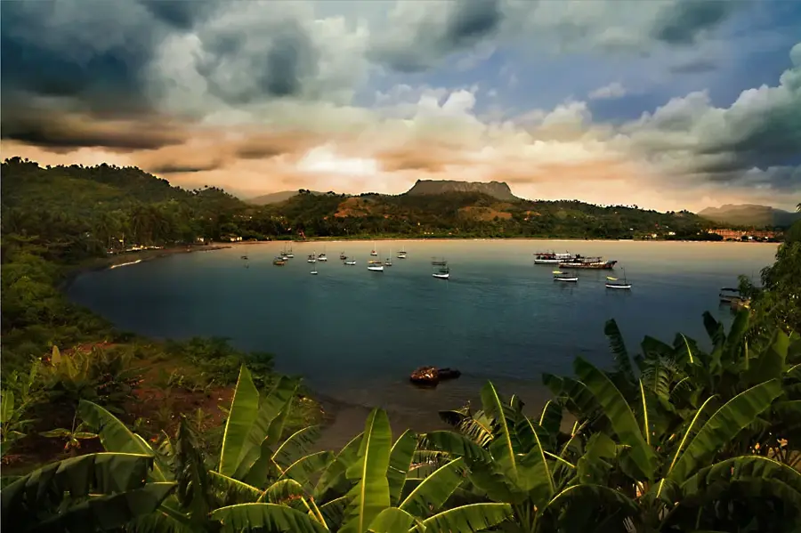
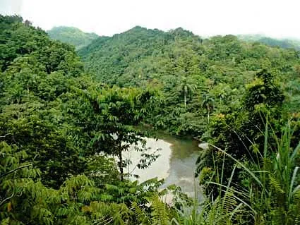
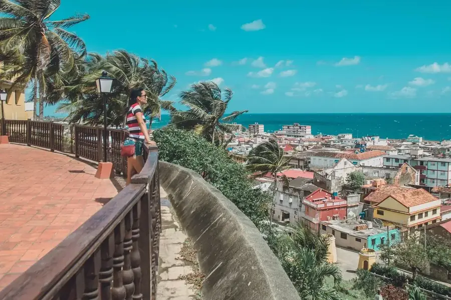
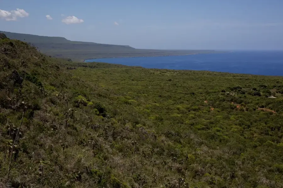
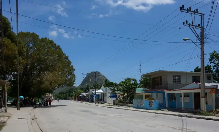
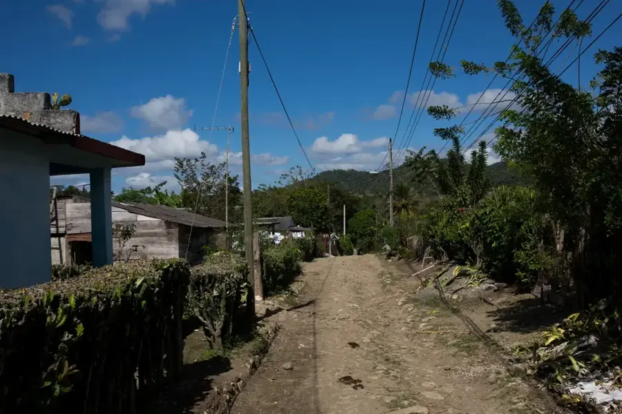
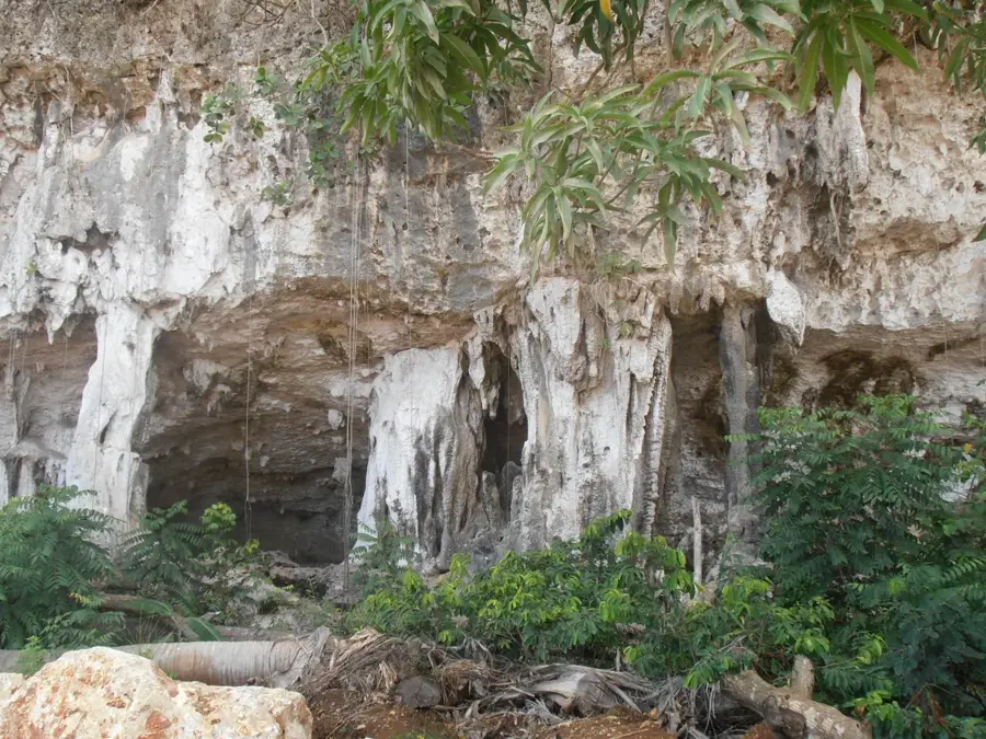
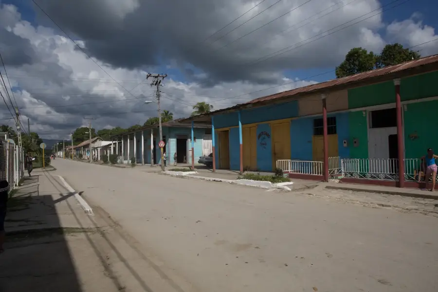
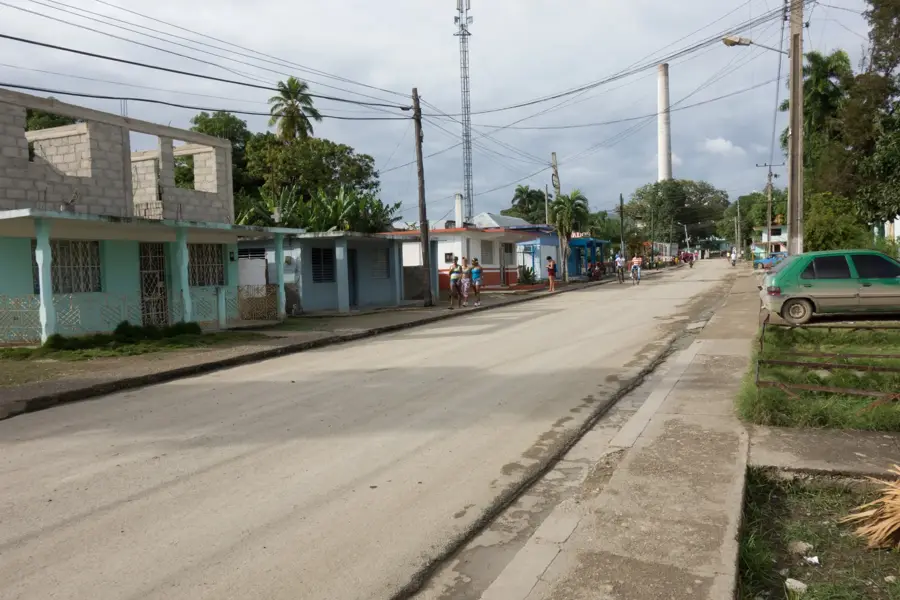
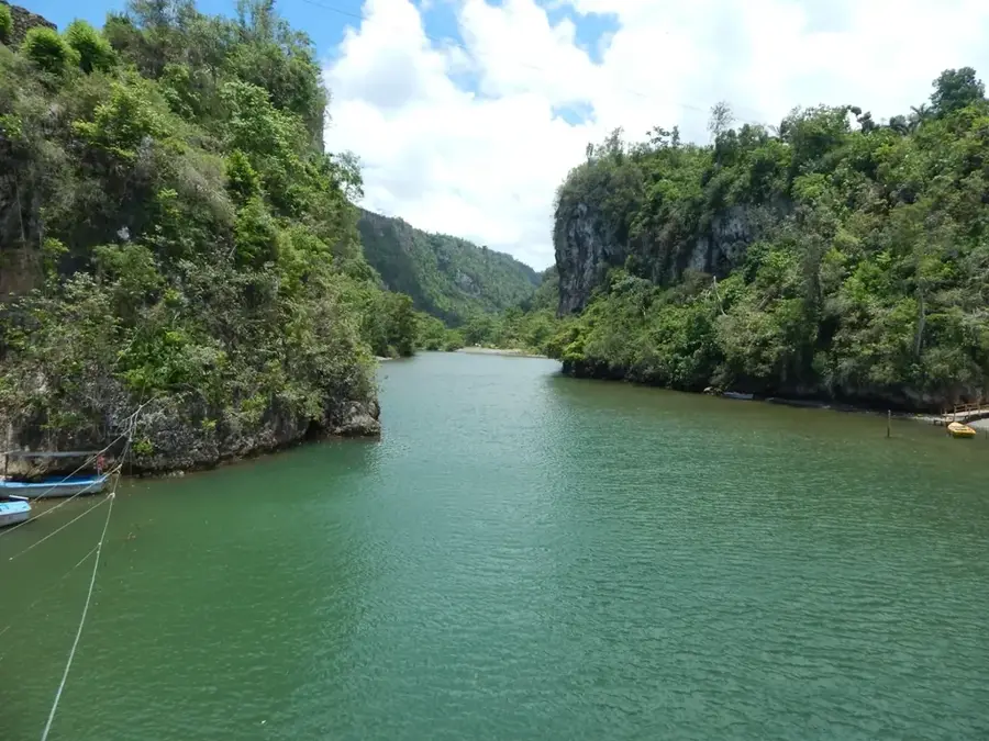
Imías is a fascinating municipality on the southern coast of Guantánamo province, known for its dramatic landscapes and historical milestones. The region is characterized by a semi-arid climate, leading to a unique vegetation often referred to as the 'Cuban desert.' Geographically, Imías stretches between the Caribbean Sea and the foothills of the Sierra del Purial. A site of great historical significance within the municipality is Playita de Cajobabo, where José Martí and Máximo Gómez landed in 1895 to resume the War of Independence. The economy is based on agriculture, particularly the cultivation of tomatoes, onions, and tobacco, as well as fishing. The coastal road 'La Farola,' which leads to Baracoa, passes through the municipality, offering spectacular views of the rocky coast and the mountains. The town itself is small and quiet, yet it preserves a strong cultural heritage closely linked to the traditions of eastern Cuba. Imías gives an extraordinary blend of rugged natural beauty and patriotic history.
- Location: Cuba
- Nearby: San Antonio del Sur (17 km)
Best time to visit & climate
The most pleasant time to visit is Jan–Mar.
| Jan | Feb | Mar | Apr | May | Jun | Jul | Aug | Sep | Oct | Nov | Dec | |
|---|---|---|---|---|---|---|---|---|---|---|---|---|
| Avg °C | 25 | 25 | 25 | 26 | 27 | 28 | 28 | 28 | 28 | 28 | 27 | 26 |
| Rain mm | 36 | 23 | 29 | 36 | 91 | 81 | 64 | 82 | 98 | 147 | 83 | 41 |
Geography
Facts
- Playita de Cajobabo was declared a National Monument of Cuba.
- The region is considered one of the driest areas on the entire island.
- Imías possesses significant salt deposits along its coastline.
- The municipality was officially established in 1976.
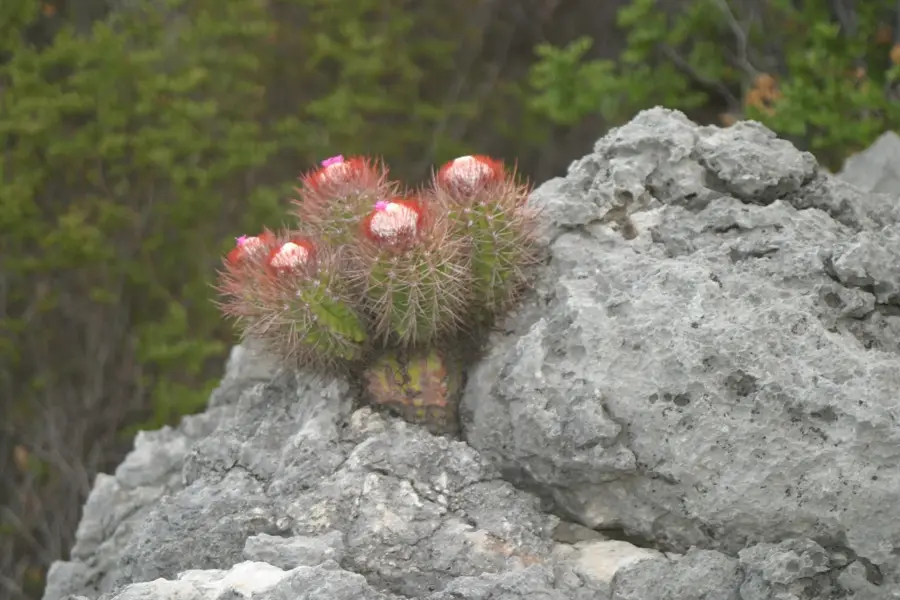
- Rare cactus species endemic to Cuba grow within this region.
- The Imías River is the area's most important source of freshwater.
Explore nearby
Notable places around
Route planner — Car & Motorhome
Where do you start? We build the route here, with stops and country notes along the way.
© OpenStreetMap contributors · OpenRouteService
Frequently asked questions
What is the climate like in Imías?
Which road passes through Imías?
Are there beaches there?
What is a local specialty?
Is it worth stopping for photos?
Imías: where is it located?
Imías: when is the best time to visit?
Imías: why is it worth visiting?

Nearby cities

Nature
More places