Plizio Visual Lab
Lopinot Historical Complex

Weather…
Water temperature…
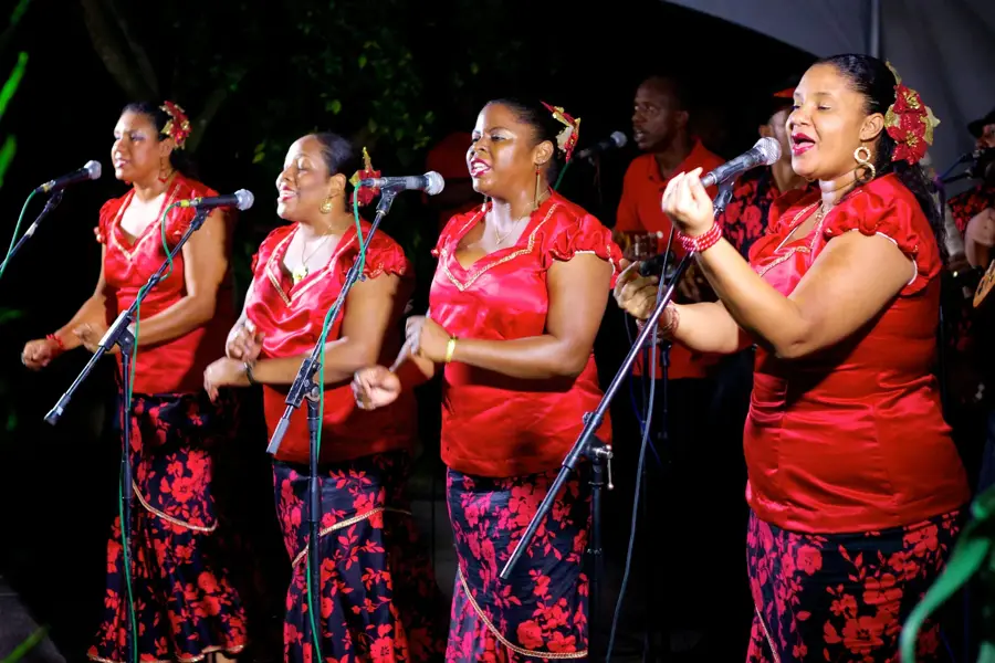
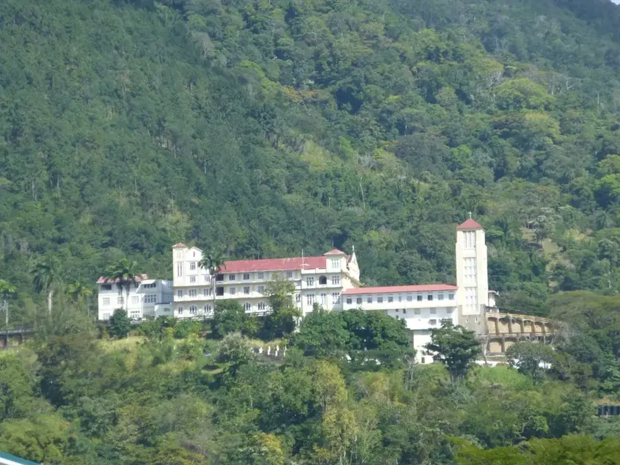
The Lopinot Historical Complex is situated in the Arouca Valley of northern Trinidad and is deeply connected to the island's cocoa production history. The estate was founded in 1806 by Charles Joseph, Count de Lopinot, a French nobleman who fled the Haitian Revolution. He was granted land by the British Governor and established a successful cocoa plantation named La Reconnaissance. The complex features the restored count's house, built using traditional tapia (mud and grass) methods, and the original cocoa drying sheds known as cocoa houses. Lopinot is also widely recognized as the cultural heart of Parang music, a Spanish-influenced folk tradition associated with Christmas. Surrounded by the Northern Range mountains, the site serves as a museum dedicated to 19th-century colonial agriculture and local folklore.
Explore on the map
How well do you know Trinidad and Tobago?
Find cities, landscapes and regions in 10 varied challenges on the interactive map.
Your journey, your memory
A postcard from Lopinot Historical Complex
Turn your own photo into a personal postcard with a local stamp. Free and no sign-up required.
Create a postcard- Location: Trinidad and Tobago
- Highlights: Lopinot · Asa Wright Nature Centre
- Nearby: D'Abadie (6 km)
Best time to visit & climate
The most pleasant time to visit is Feb–Apr.
| Jan | Feb | Mar | Apr | May | Jun | Jul | Aug | Sep | Oct | Nov | Dec | |
|---|---|---|---|---|---|---|---|---|---|---|---|---|
| Avg °C | 26 | 26 | 27 | 28 | 28 | 27 | 27 | 27 | 27 | 27 | 27 | 26 |
| Rain mm | 100 | 61 | 52 | 56 | 117 | 222 | 202 | 202 | 141 | 176 | 213 | 178 |
📋 Practical info
History & landmarks
1800
Geography
Facts
- The Lopinot estate was established by the French count in 1806.
- The count's house uses 'tapia' construction, a mix of mud and grass.
- Count de Lopinot was buried on the estate grounds after his death in 1819.
- The site is the primary hub for Spanish-rooted Parang music festivals.
- Cocoa houses at the site feature sliding roofs for sun-drying beans.
- The village is located at an altitude of 150 metres in the Northern Range.
Explore nearby
Notable places around

Route planner — Car & Motorhome
Where do you start? We build the route here, with stops and country notes along the way.
© OpenStreetMap contributors · OpenRouteService
Sights in the town Lopinot Historical Complex (2)
Sights nearby
Frequently asked questions
What is the Lopinot Historical Complex?
Are there entrance fees?
How is the atmosphere?
Is it suitable for children?
Is there a café there?
Lopinot Historical Complex: where is it located?
Lopinot Historical Complex: what is there to see?
Lopinot Historical Complex: when is the best time to visit?
Lopinot Historical Complex: why is it worth visiting?
Nearby cities



History & landmarks

Nature
More places