Plizio Visual Lab
Hollis Reservoir

Weather…
Water temperature…
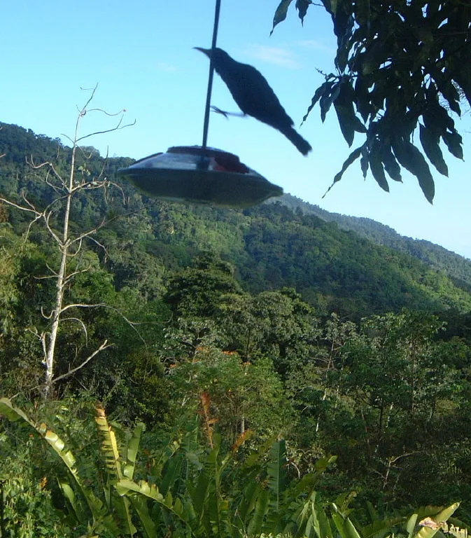
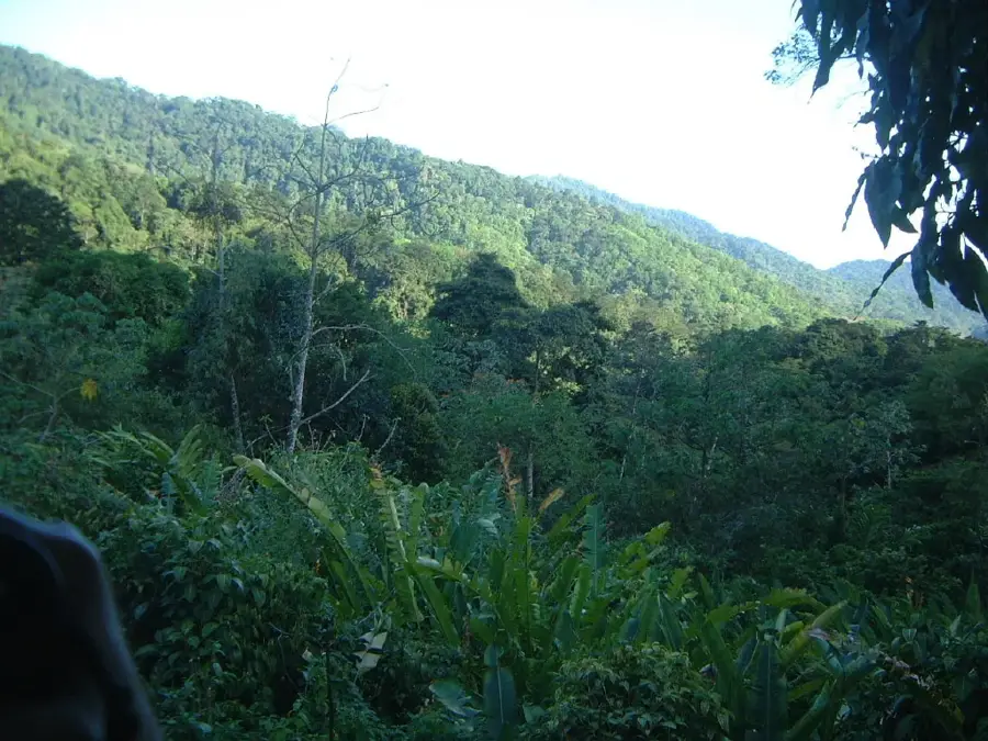
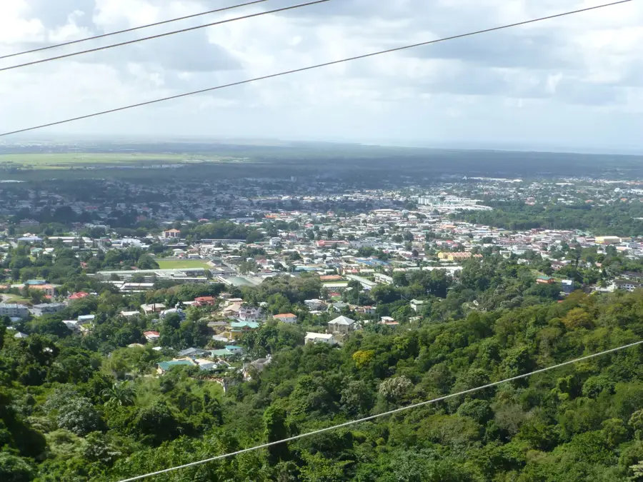
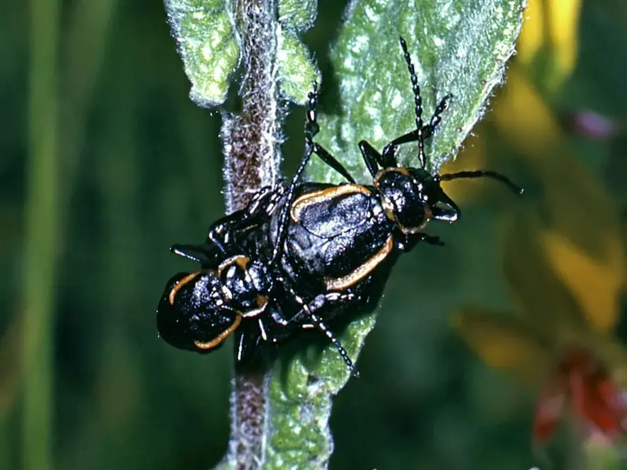
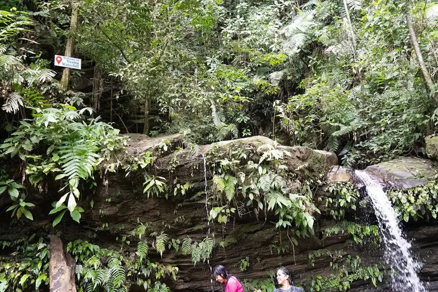
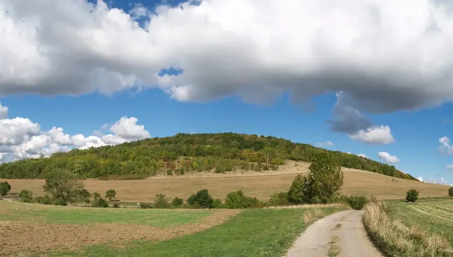
Hollis Reservoir is the oldest man-made dam in Trinidad, constructed between 1934 and 1936 in the foothills of the Northern Range near Valencia. Named after Sir Claud Hollis, the Governor of Trinidad and Tobago at the time, it remains a vital component of the island's water infrastructure, supplying Port of Spain and eastern districts. The reservoir was created by damming the Quare River, resulting in a deep lake enveloped by primary rainforest that functions as a protected catchment area. This pristine environment supports a wealth of biodiversity, including ocelots, spectacled caimans, and over 150 recorded species of birds. Geologically, the site sits on complex sedimentary and metamorphic formations typical of the Northern Range periphery. Public access is strictly managed to prevent contamination and preserve the natural habitat, making it a serene destination for authorized researchers and birdwatchers. The project serves as an enduring example of early 20th-century British colonial engineering integrated with forest conservation.
- Location: Trinidad and Tobago
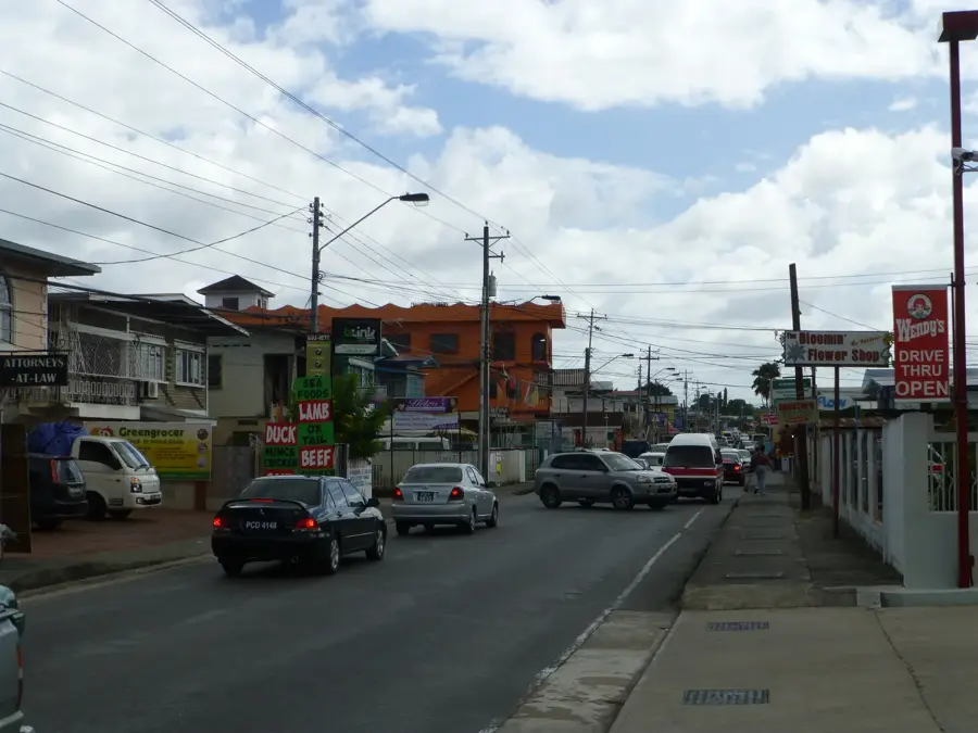
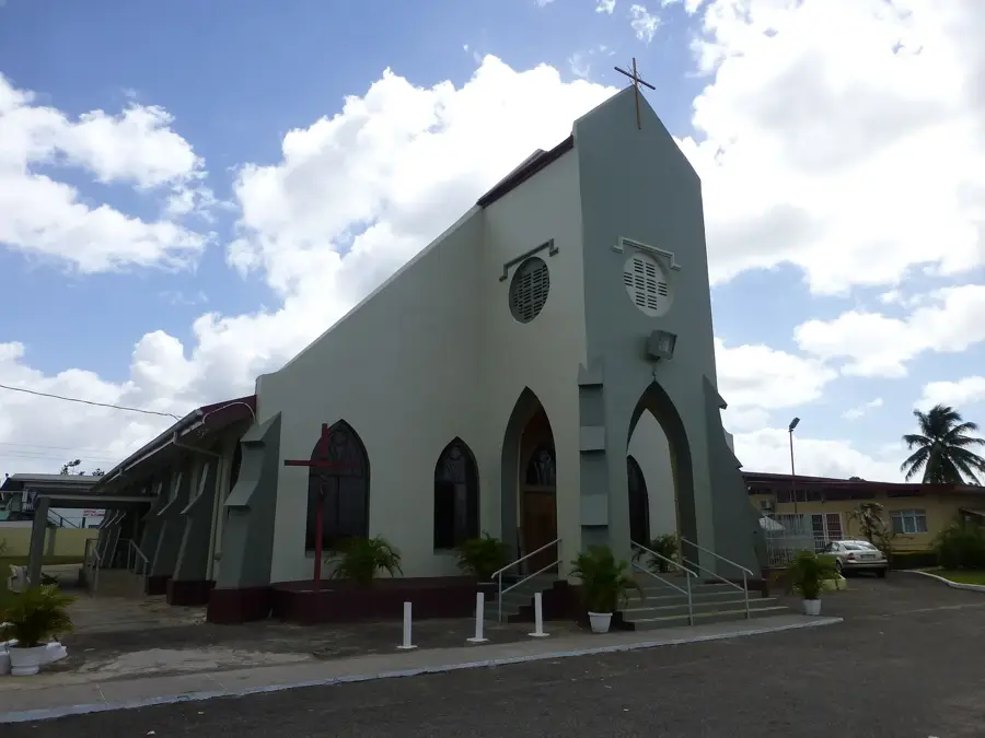
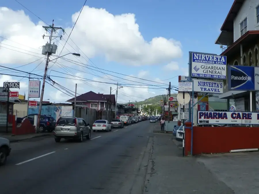
- Nearby: Cumaca (6 km)
Best time to visit & climate
The most pleasant time to visit is Feb–Apr.
| Jan | Feb | Mar | Apr | May | Jun | Jul | Aug | Sep | Oct | Nov | Dec | |
|---|---|---|---|---|---|---|---|---|---|---|---|---|
| Avg °C | 26 | 26 | 27 | 28 | 28 | 27 | 27 | 27 | 27 | 27 | 27 | 26 |
| Rain mm | 100 | 61 | 52 | 56 | 117 | 222 | 202 | 202 | 141 | 176 | 213 | 178 |
📋 Practical info
Geography
Facts
- The dam was completed and became operational in 1936.
- It was the first large-scale water storage project in Trinidad.
- The reservoir covers approximately 40 hectares of surface area.
- The surrounding forest is a designated Environmentally Sensitive Area.
- It provides approximately 8 million gallons of water daily.
- The site is a major nesting area for the tropical kingbird.
Explore nearby
Notable places around
Route planner — Car & Motorhome
Where do you start? We build the route here, with stops and country notes along the way.
© OpenStreetMap contributors · OpenRouteService
Sights nearby
Frequently asked questions
Is fishing or swimming allowed in Hollis Reservoir?
Is the reservoir a good destination for birdwatchers?
Is the area stroller friendly?
Is a permit required for visiting?
What is the best time of day to visit?
Hollis Reservoir: where is it located?
Hollis Reservoir: when is the best time to visit?
Hollis Reservoir: why is it worth visiting?
Nearby cities


More places