Plizio Visual Lab
D'Abadie
ℹ️Practical info — D'Abadie
▾
🌤 Weather — 5 days
📍 Nearby
Sights nearby
💡 Tips
- D'Abadie is a quiet residential area, making it a well-suited base for exploring nearby Arima.
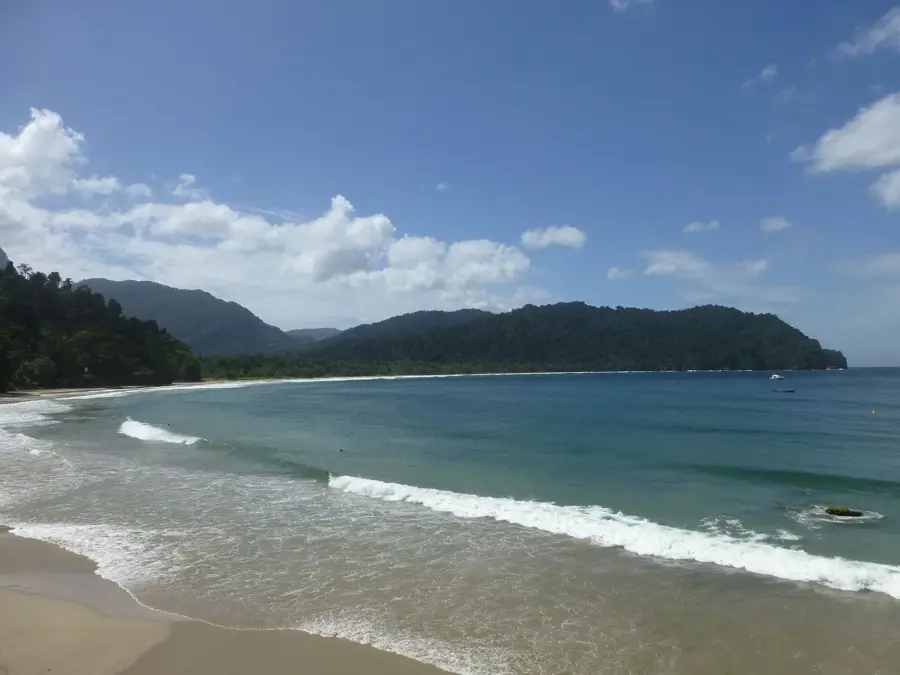
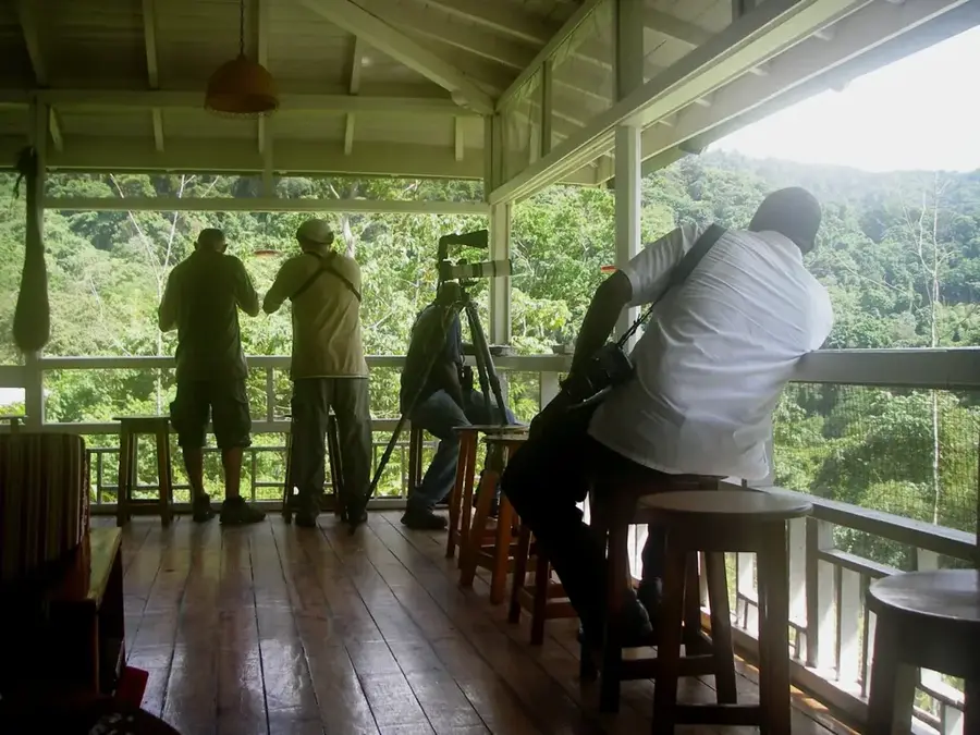
- Visit Cleaver Woods Recreation Park for nature and a glimpse into indigenous history.
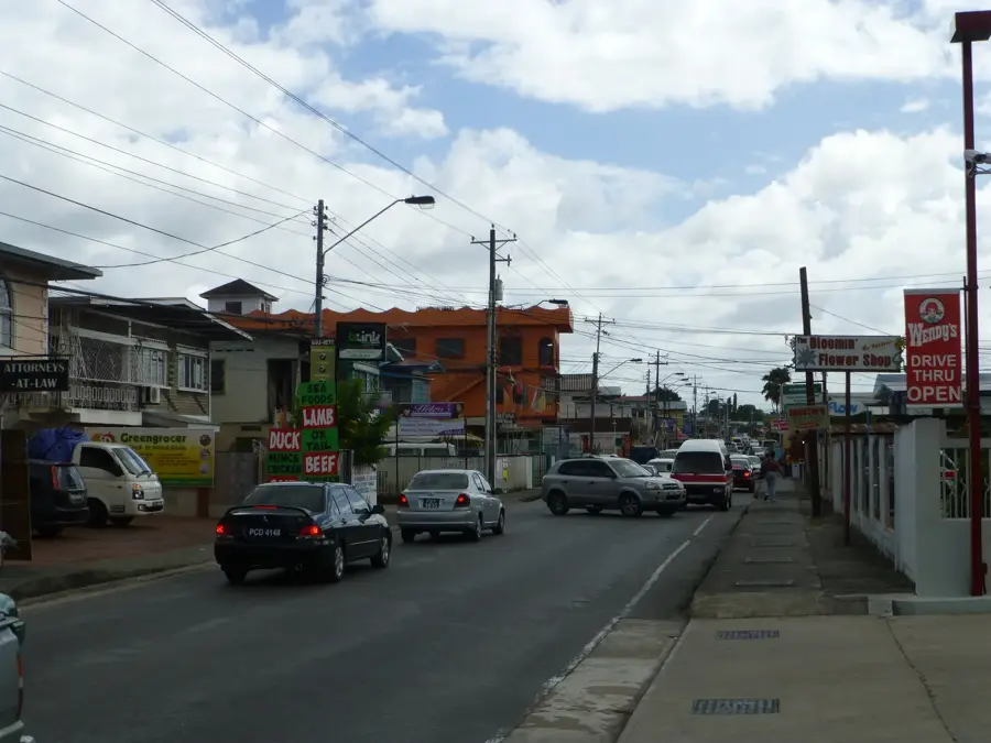
- The Eastern Main Road is the primary artery for local shared transport (Maxi Taxis).
- Keep an eye out for local fruit vendors often parked along the highway with fresh produce.
🍽 Food
Just a short drive away, you'll find authentic local breakfast at the Arima market.
Look for BBQ stands along the main road on Friday and Saturday evenings.
A simple, traditional snack you should try from local bakeries.
🛍 Shopping · 🧘 Quiet spots
Large shopping centers are within a 10-minute drive.
The nearby town of Arima features lively markets and local shops.
A peaceful forest reserve with a small museum and quiet walking paths.
The northern parts of D'Abadie offer peace and a nice view of the Northern Range.
Water temperature…
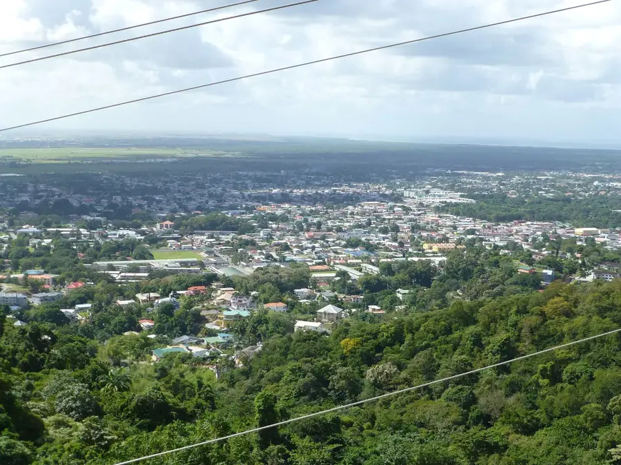
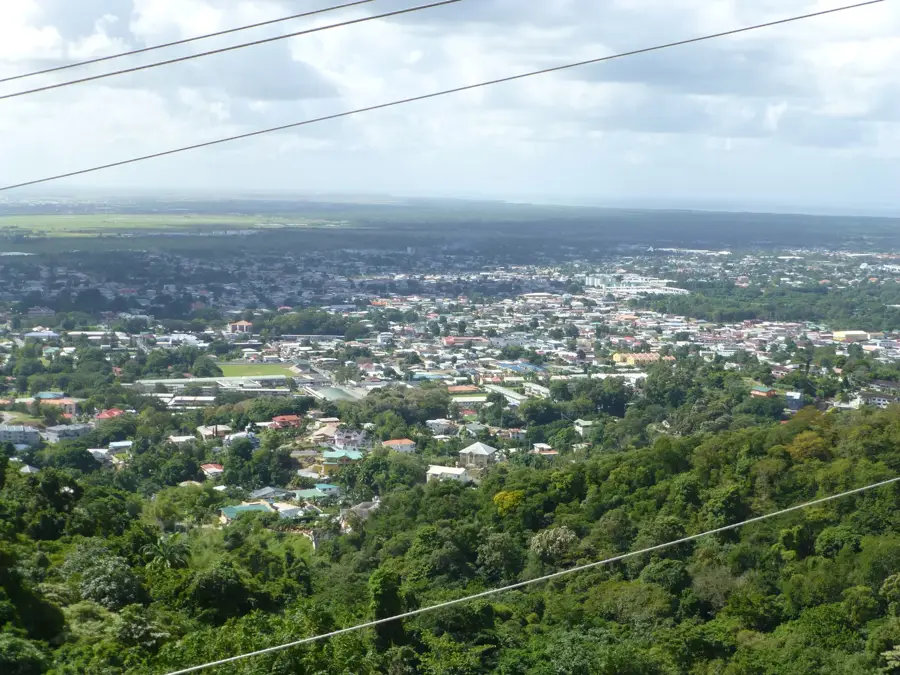
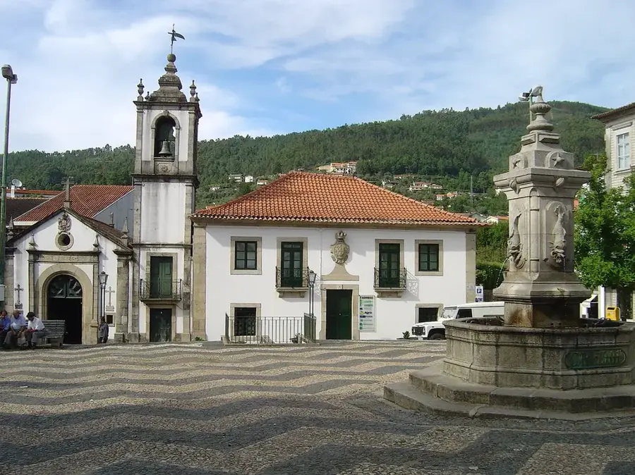
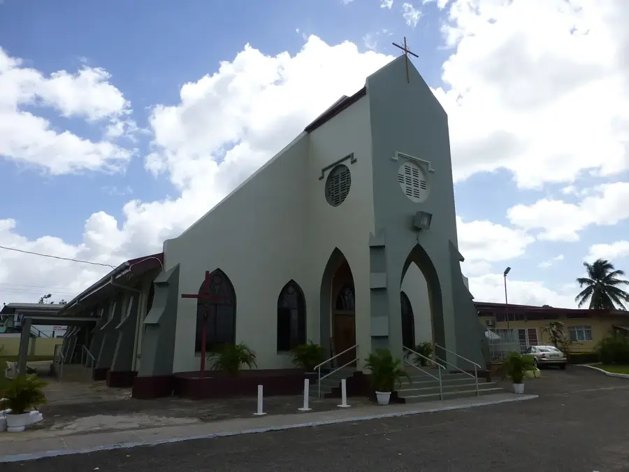
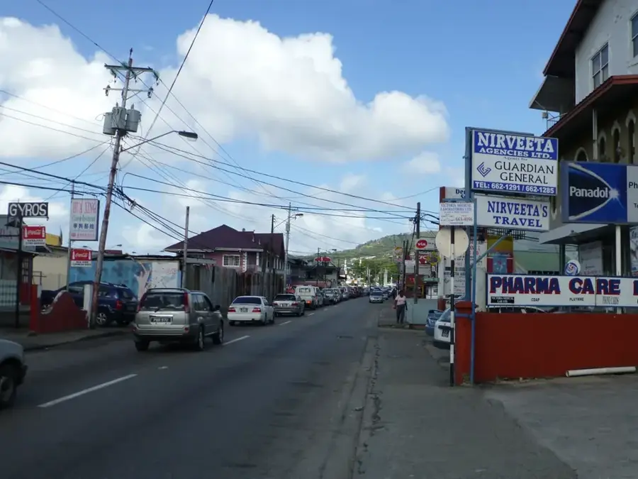
D'Abadie is a prominent residential and commercial community in northern Trinidad, situated within the Tunapuna-Piarco region along the Eastern Main Road. Historically evolving from agricultural estates, the settlement has transformed into a vital suburban hub for commuters traveling between Port of Spain and Arima. Its geographical location at the foothills of the Northern Range mountains shapes the local environment and provides convenient access to highland trails. The town's architecture reflects a mix of traditional colonial-era structures and modern housing developments established over recent decades. The proximity to Piarco International Airport has been a significant driver for economic growth and infrastructural enhancements in the area. D'Abadie functions as an essential service node, hosting numerous small businesses, schools, and religious institutions that cater to the surrounding district.
- Location: Trinidad and Tobago
- Top sights: National Science Centre · bolo garden
- Nearby: Piarco (4 km)
- Population: ~12.054 (2012)
Best time to visit & climate
The most pleasant time to visit is Feb–Apr.
| Jan | Feb | Mar | Apr | May | Jun | Jul | Aug | Sep | Oct | Nov | Dec | |
|---|---|---|---|---|---|---|---|---|---|---|---|---|
| Avg °C | 26 | 26 | 27 | 28 | 28 | 27 | 27 | 27 | 27 | 27 | 27 | 26 |
| Rain mm | 100 | 61 | 52 | 56 | 117 | 222 | 202 | 202 | 141 | 176 | 213 | 178 |
Geography
Facts
- Located along the Eastern Main Road between St. Joseph and Arima.
- Part of the Tunapuna-Piarco Regional Corporation administrative area.
- Situated in close proximity to the Piarco International Airport.
- Positioned at the southern base of the Northern Range mountains.
- The area was historically dominated by cocoa and sugar estates.
- Serves as a major residential corridor with easy highway access.
Explore nearby
Notable places around
Route planner — Car & Motorhome
Where do you start? We build the route here, with stops and country notes along the way.
© OpenStreetMap contributors · OpenRouteService
Frequently asked questions
What is D'Abadie?
Is it touristically relevant?
How is the infrastructure?
What is nearby?
Should you stay there?
D'Abadie: where is it located?
D'Abadie: what is there to see?
D'Abadie: when is the best time to visit?
D'Abadie: why is it worth visiting?
Nearby cities


History & landmarks
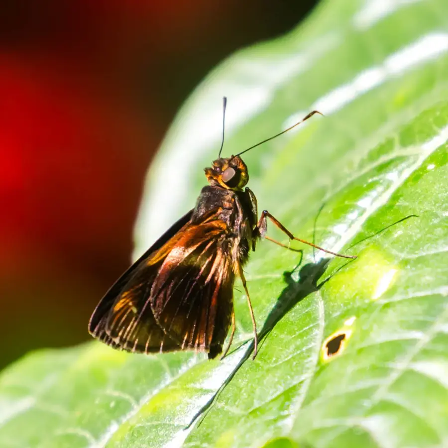
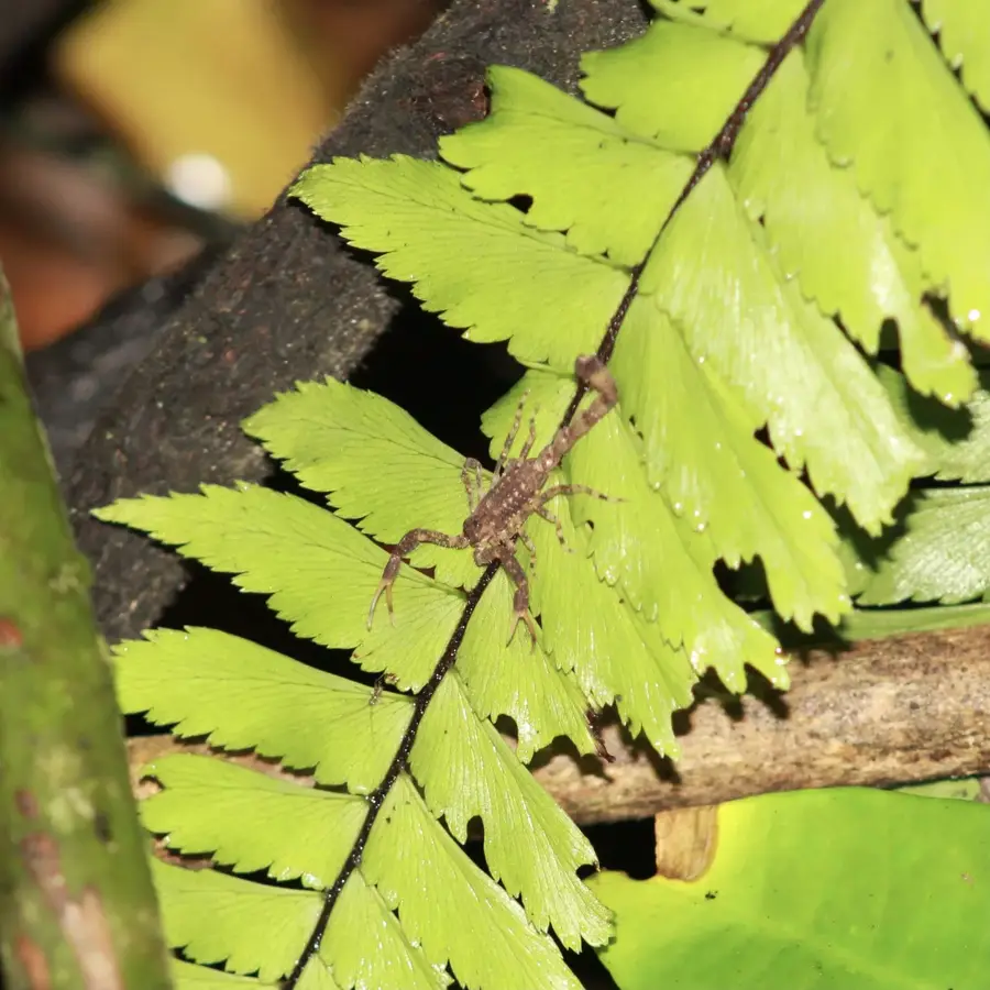
Nature

More places