Plizio Visual Lab
Toco Cliffside

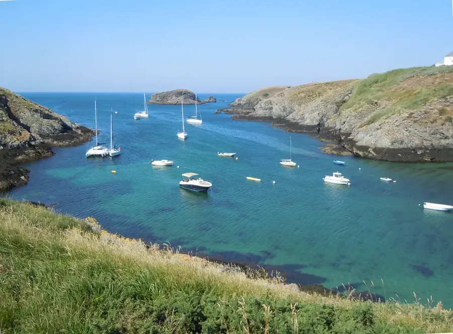
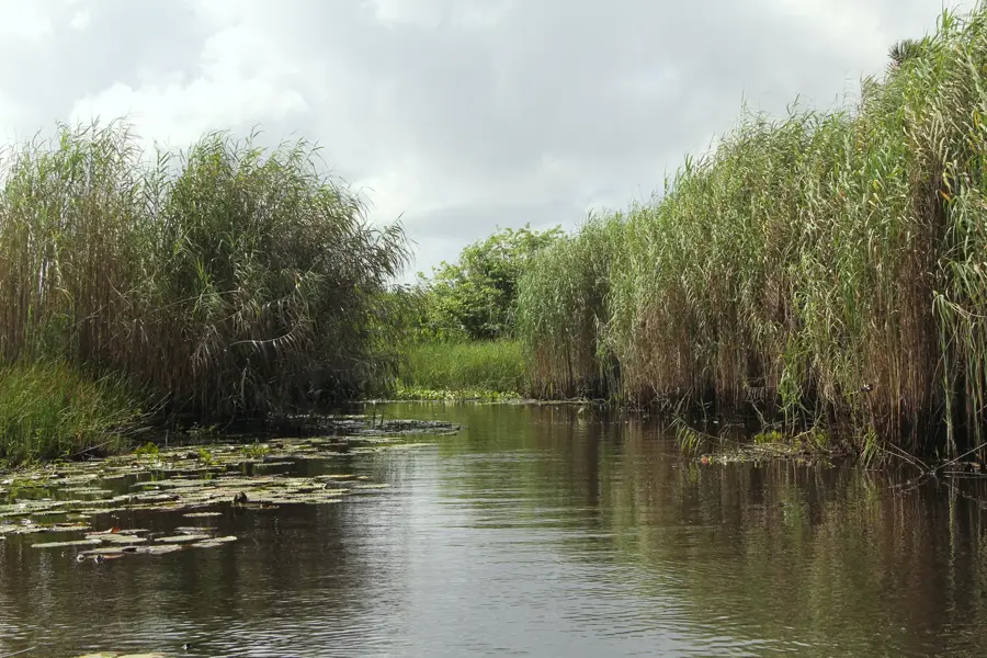
The Toco Cliffside forms the northeasternmost extremity of Trinidad at Galera Point, marking the turbulent meeting point of the Caribbean Sea and the Atlantic Ocean. This dramatic coastal landscape is characterized by steep cliffs composed of metamorphic rock, which have withstood the region's powerful currents and relentless trade winds. In 1897, the Galera Point Lighthouse was constructed here, serving as a critical navigational beacon for vessels traveling between Trinidad and Tobago. The geomorphological structure of the cliffs is a direct result of tectonic uplift combined with continuous marine erosion from heavy Atlantic swells. The vegetation atop the cliff plateaus consists of wind-resistant shrubbery and coconut palms, framing the rugged coastal scenery. Despite its remote location, Toco remains a significant site for local artisanal fishing and serves as an important ecological corridor for various seabird species nesting in the rocky crevices.
- Location: Trinidad and Tobago
- Nearby: Grande Riviere (11 km)
Best time to visit & climate
The most pleasant time to visit is Feb–Apr.
| Jan | Feb | Mar | Apr | May | Jun | Jul | Aug | Sep | Oct | Nov | Dec | |
|---|---|---|---|---|---|---|---|---|---|---|---|---|
| Avg °C | 27 | 26 | 27 | 27 | 28 | 28 | 28 | 28 | 28 | 28 | 28 | 27 |
| Rain mm | 83 | 49 | 39 | 44 | 86 | 157 | 166 | 168 | 132 | 169 | 193 | 145 |
📋 Practical info
Geography
Facts
- Northeasternmost point of mainland Trinidad
- Site of the Galera Point Lighthouse built in 1897
- Meeting point of the Caribbean Sea and Atlantic Ocean
- Geology consists of Northern Range metamorphic rocks
- Cliff heights range between 15 and 30 meters
- Important nesting ground for migratory seabirds
Explore nearby
Notable places around
Route planner — Car & Motorhome
Where do you start? We build the route here, with stops and country notes along the way.
© OpenStreetMap contributors · OpenRouteService
Sights in the town Toco Cliffside (1)
Sights nearby
Frequently asked questions
Why is Toco Cliffside special?
Can you swim there?
Are there dangerous spots there?
When is the best lighting?
Is admission required?
Toco Cliffside: where is it located?
Toco Cliffside: when is the best time to visit?
Toco Cliffside: why is it worth visiting?
More places