Plizio Visual Lab
Matelot Rugged Coast
Weather…
Water temperature…
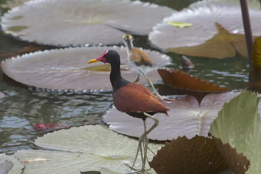
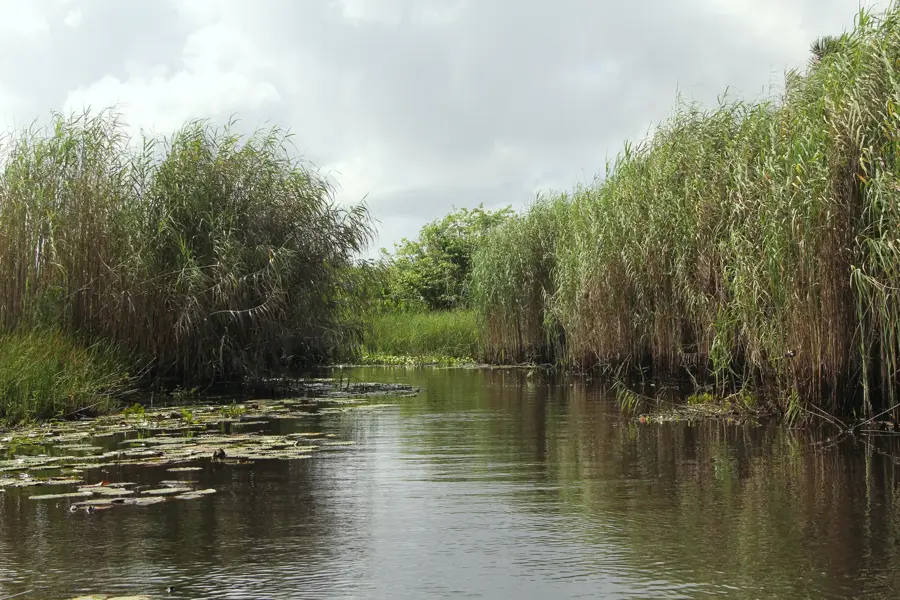
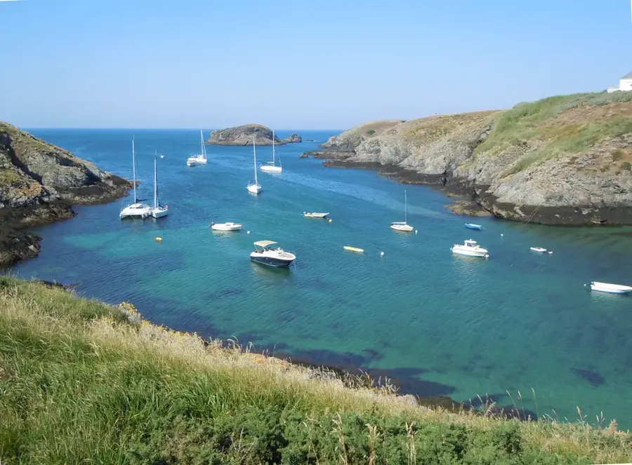
The Matelot Rugged Coast is located on the remote northern shores of Trinidad, where the Northern Range mountains plunge directly into the Caribbean Sea. Geologically, this coastline is composed of pre-tertiary metamorphic rocks that form towering cliffs and deep, secluded inlets. The region experiences some of the highest rainfall on the island, fostering a lush, pristine rainforest environment that extends to the water's edge. Historically, Matelot was accessible only by sea, a factor that helped preserve the traditional lifestyle of its local artisanal fishing community. The topography is exceptionally rugged, featuring numerous waterfalls that drop directly into the ocean and narrow shingle beaches tucked within rocky bays. Due to its isolation and intact ecosystems, the Matelot coast is a vital sanctuary for rare species such as the Pawi (Trinidad Piping-guan) and serves as a critical nesting ground for leatherback turtles.
- Location: Trinidad and Tobago
- Nearby: Grande Riviere (7 km)
Best time to visit & climate
The most pleasant time to visit is Feb–Apr.
| Jan | Feb | Mar | Apr | May | Jun | Jul | Aug | Sep | Oct | Nov | Dec | |
|---|---|---|---|---|---|---|---|---|---|---|---|---|
| Avg °C | 27 | 26 | 27 | 27 | 28 | 28 | 28 | 28 | 28 | 28 | 28 | 27 |
| Rain mm | 83 | 49 | 39 | 44 | 86 | 157 | 166 | 168 | 132 | 169 | 193 | 145 |
📋 Practical info
Geography
Facts
- Most isolated coastal stretch in northern Trinidad
- Geology consists of pre-tertiary metamorphic rock
- One of the highest rainfall areas on the entire island
- Historically isolated and accessible only by boat
- Home to the endangered Trinidad Piping-guan (Pawi)
- Features unique waterfalls that drop directly into the sea
Explore nearby
Notable places around
Route planner — Car & Motorhome
Where do you start? We build the route here, with stops and country notes along the way.
© OpenStreetMap contributors · OpenRouteService
Sights nearby
Frequently asked questions
How is the current at Matelot Rugged Coast?
Is there accommodation there?
What is special about this coast?
Do I need a 4x4 vehicle?
When is the best time to take photos?
Matelot Rugged Coast: where is it located?
Matelot Rugged Coast: when is the best time to visit?
Matelot Rugged Coast: why is it worth visiting?
More places