Plizio Visual Lab
Oropouche River (North)
Weather…
Water temperature…
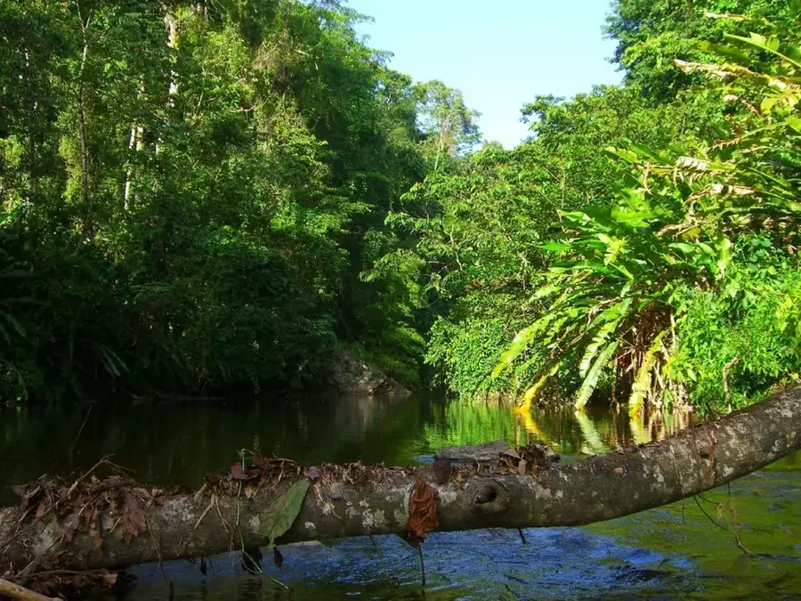
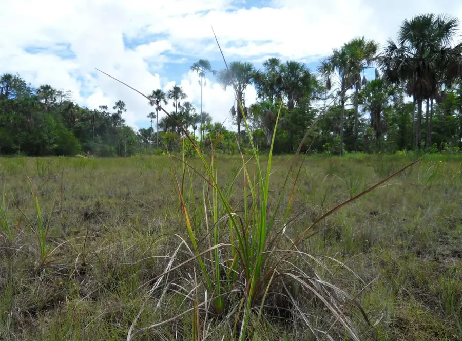
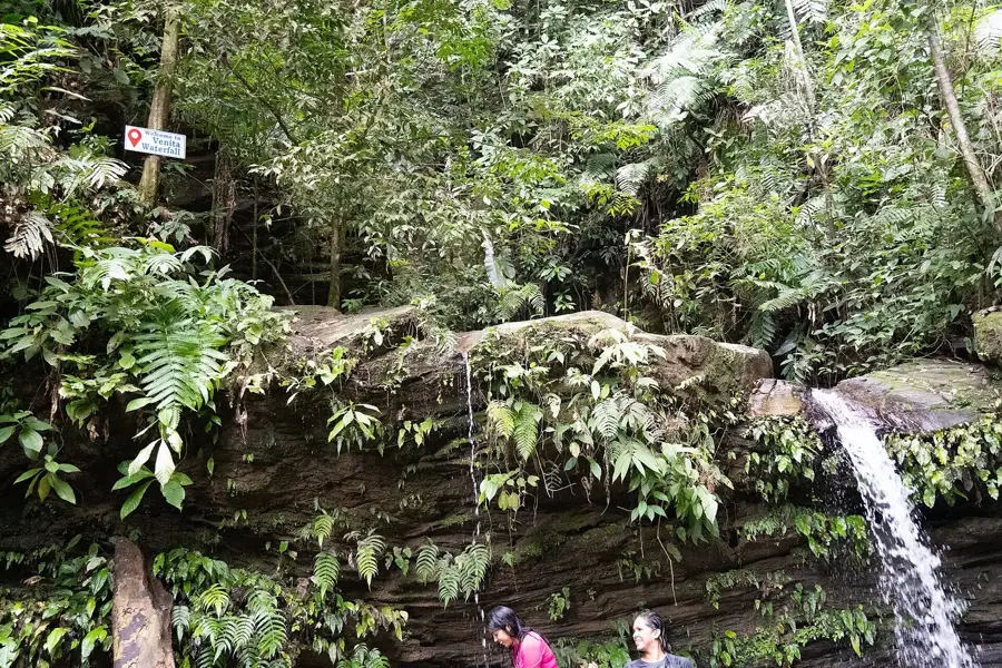
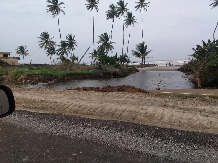
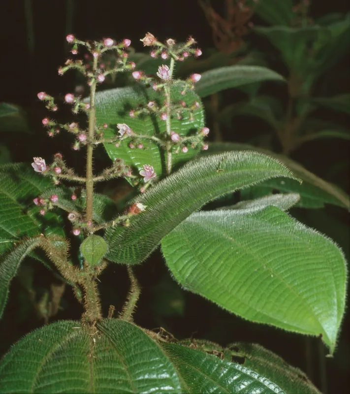
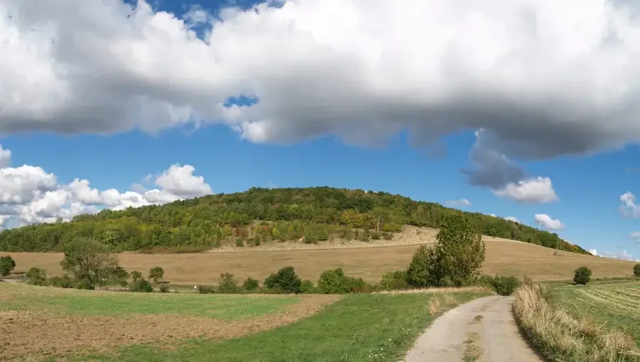
The Oropouche River, specifically the North Oropouche, originates in the high elevations of Trinidad's Northern Range and flows eastward to empty into Matura Bay. This river system serves as a critical hydrological resource, feeding the Hollis Reservoir which provides potable water to much of the island. The surrounding landscape is characterized by rugged limestone karst topography, leading to the creation of extensive cave systems such as the Cumaca Cave. These caves are famous for hosting significant colonies of the nocturnal Oilbird (Steatornis caripensis), a species of scientific interest. The river's catchment area is a biodiversity hotspot, supporting diverse wildlife including red howler monkeys and various neotropical flora. Historically, the area was settled for small-scale agriculture and timber extraction during the colonial era. Today, it is recognized for its ecological sensitivity and its role in maintaining the island's groundwater levels.
- Location: Trinidad and Tobago
- Nearby: Matelot (5 km)
Best time to visit & climate
The most pleasant time to visit is Feb–Apr.
| Jan | Feb | Mar | Apr | May | Jun | Jul | Aug | Sep | Oct | Nov | Dec | |
|---|---|---|---|---|---|---|---|---|---|---|---|---|
| Avg °C | 27 | 26 | 27 | 27 | 28 | 28 | 28 | 28 | 28 | 28 | 28 | 27 |
| Rain mm | 83 | 49 | 39 | 44 | 86 | 157 | 166 | 168 | 132 | 169 | 193 | 145 |
📋 Practical info
Geography
Facts
- The river flows into the Atlantic Ocean at Matura Bay on the east coast.
- It is the primary feeder for the Hollis Dam, completed in 1936.
- The Cumaca Cave along its banks is a primary nesting site for Oilbirds.
- The surrounding Northern Range peaks reach heights of over 500 meters.
- The river system supports over 50 species of freshwater fish and crustaceans.
- Average annual rainfall in this catchment area is approximately 2,800 mm.
Explore nearby
Notable places around
Route planner — Car & Motorhome
Where do you start? We build the route here, with stops and country notes along the way.
© OpenStreetMap contributors · OpenRouteService
Sights nearby
Frequently asked questions
Can you navigate the Oropouche River?
What is the current like?
Are there wild animals there?
Is the tour suitable for beginners?
What is the best season?
Oropouche River (North): where is it located?
Oropouche River (North): when is the best time to visit?
Oropouche River (North): why is it worth visiting?
Nearby cities
Nature
More places