Plizio Visual Lab
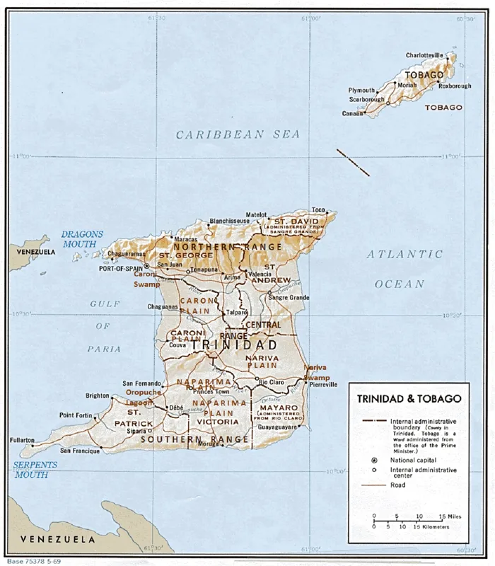
Cedros Peninsula
Weather…
Water temperature…
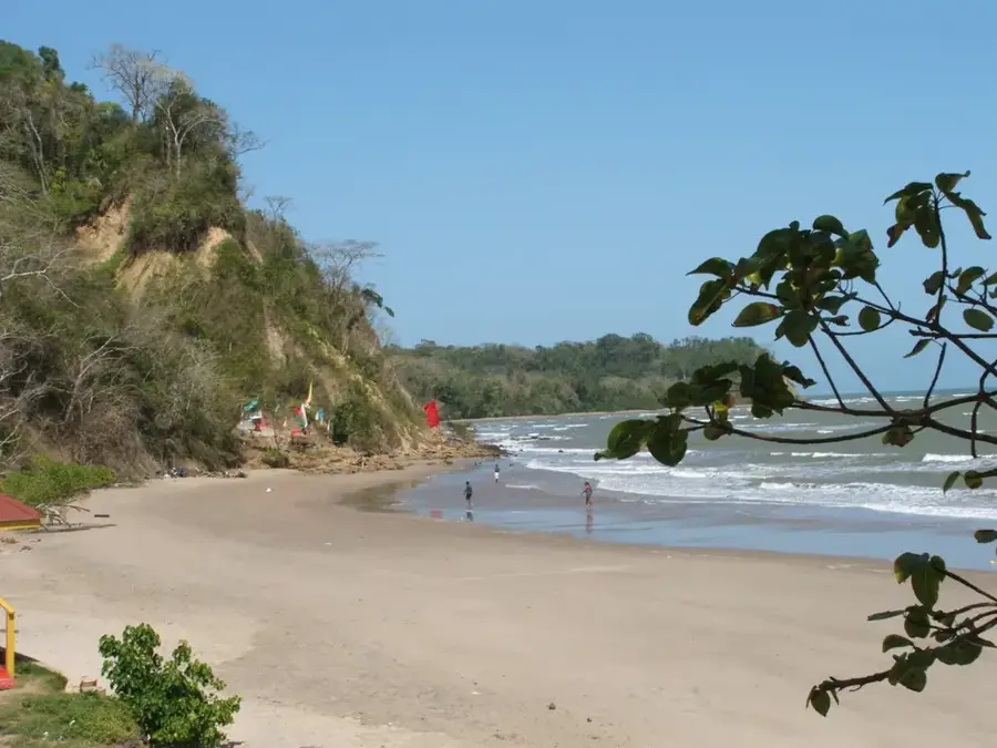
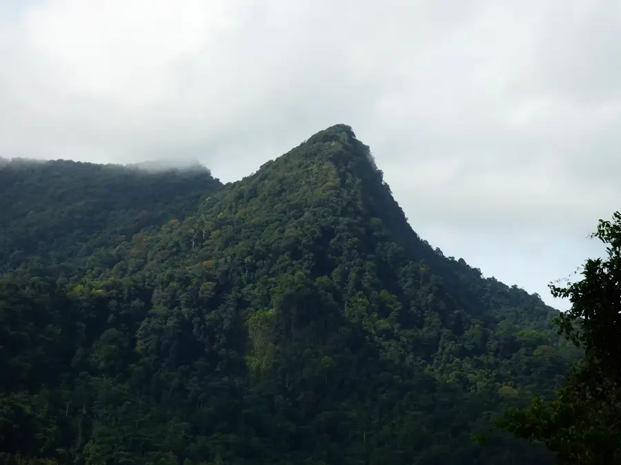
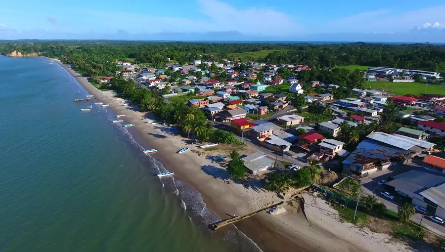
The Cedros Peninsula forms the southwestern tip of Trinidad, extending like a finger toward the Venezuelan mainland. Geographically, it is characterized by low-lying, sandy terrain dominated by vast coconut plantations, which have underpinned the regional economy since the 19th century. Geologically, the peninsula is relatively young and composed of loose sediments, making it highly susceptible to coastal erosion driven by the powerful currents of the Columbus Channel. Historically, Cedros served as a critical port of call for vessels and a hub for trade and cultural exchange given its proximity to Venezuela, which lies just 11 km away. Settlements such as Bonasse and Icacos retain a nostalgic charm, featuring colonial-era architecture and deep-rooted fishing traditions. In recent years, the peninsula has gained strategic importance as a border region and has become a focal point for studying the impacts of sea-level rise and climate change. Its unique biodiversity, including rare avian species found in the Icacos wetlands, makes it an emerging destination for specialized eco-tourism.
- Location: Trinidad and Tobago
- Nearby: Cedros (6 km)
Best time to visit & climate
The most pleasant time to visit is Jan–Mar.
| Jan | Feb | Mar | Apr | May | Jun | Jul | Aug | Sep | Oct | Nov | Dec | |
|---|---|---|---|---|---|---|---|---|---|---|---|---|
| Avg °C | 26 | 27 | 27 | 28 | 28 | 27 | 27 | 28 | 28 | 28 | 27 | 27 |
| Rain mm | 71 | 42 | 39 | 44 | 100 | 192 | 183 | 185 | 126 | 146 | 148 | 128 |
📋 Practical info
Geography
Facts
- The peninsula is less than 3 km wide at its narrowest point.
- Icacos Point marks the southwesternmost extremity of Trinidad.
- Coastal erosion claims several meters of land annually in this region.
- Coconut oil production was the mainstay of the economy for over a century.
- Several mud volcanoes are located throughout the peninsula's interior.
- The Venezuelan coast is clearly visible from the shoreline on clear days.
Explore nearby
Notable places around
Route planner — Car & Motorhome
Where do you start? We build the route here, with stops and country notes along the way.
© OpenStreetMap contributors · OpenRouteService
Sights nearby
Frequently asked questions
What makes Cedros Peninsula special?
Are the roads well-maintained?
Are there local markets?
Can you go scuba diving there?
When is the best time to visit?
Cedros Peninsula: where is it located?
Cedros Peninsula: when is the best time to visit?
Cedros Peninsula: why is it worth visiting?
More places