Plizio Visual Lab
Soldado Rock
Weather…
Water temperature…
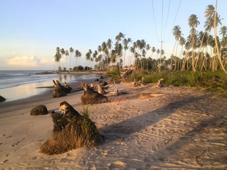
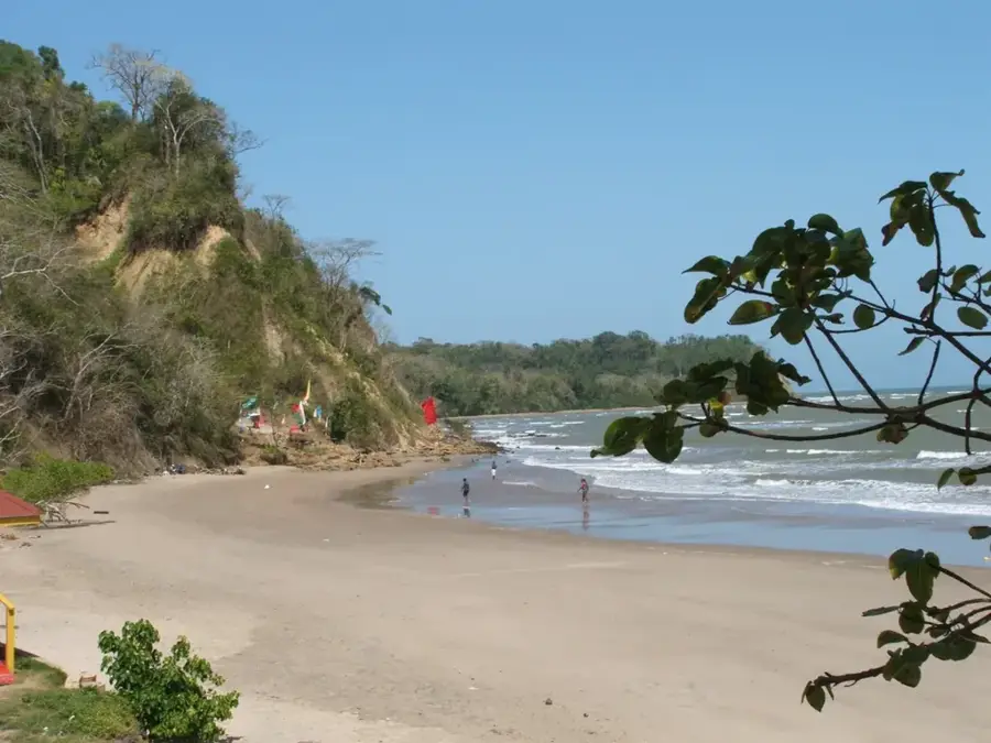
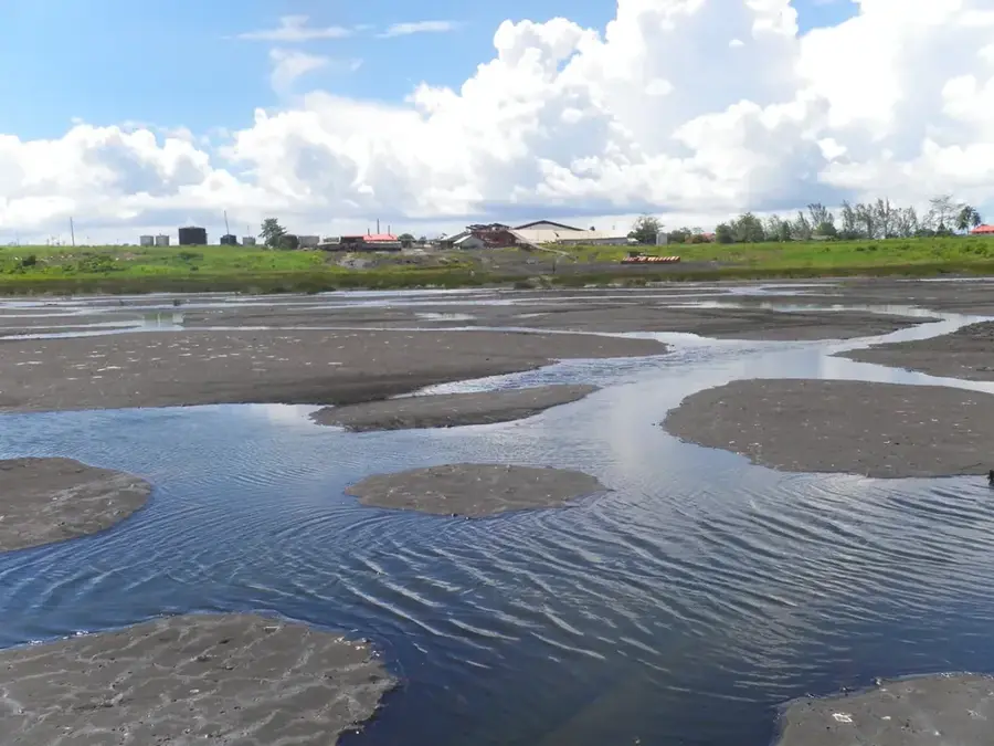
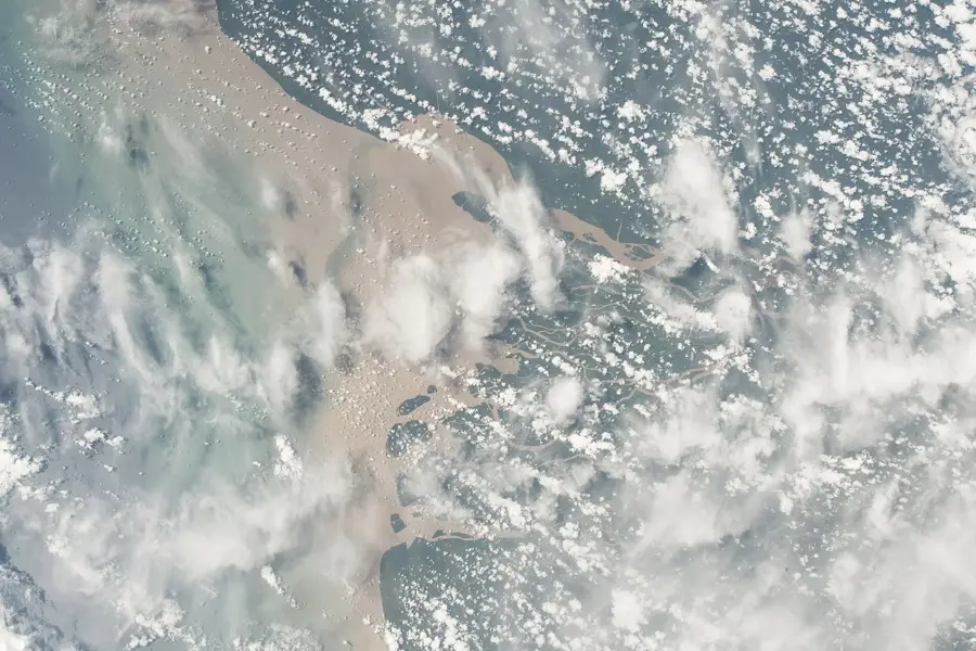
Soldado Rock is a prominent, isolated rock formation located in the Serpent's Mouth, the strait between the southwestern tip of Trinidad and Venezuela. Rising steeply from the sea, the rock covers approximately two hectares and is primarily composed of fossil-rich Eocene limestone. It is designated as a Wildlife Sanctuary because it serves as a major nesting ground for various seabirds, most notably Sooty Terns and Brown Noddies. The waters surrounding the rock are notorious for their treacherous currents and submerged reefs, making approach by boat hazardous. Historically and geopolitically, Soldado Rock serves as a key marker defining the maritime boundary between Trinidad and Tobago and Venezuela. The island is uninhabited, and human visits are rare due to its protected status and difficult accessibility. The rugged beauty of Soldado Rock and its vital ecological role as a sanctuary for marine avifauna make it a unique natural landmark in the Gulf of Paria region.
- Location: Trinidad and Tobago
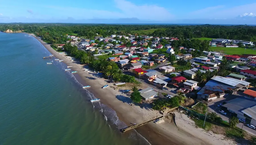
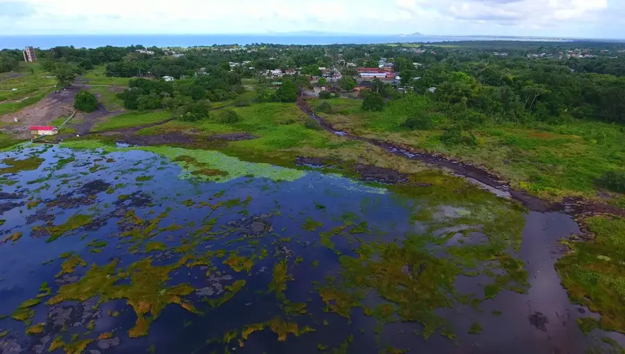
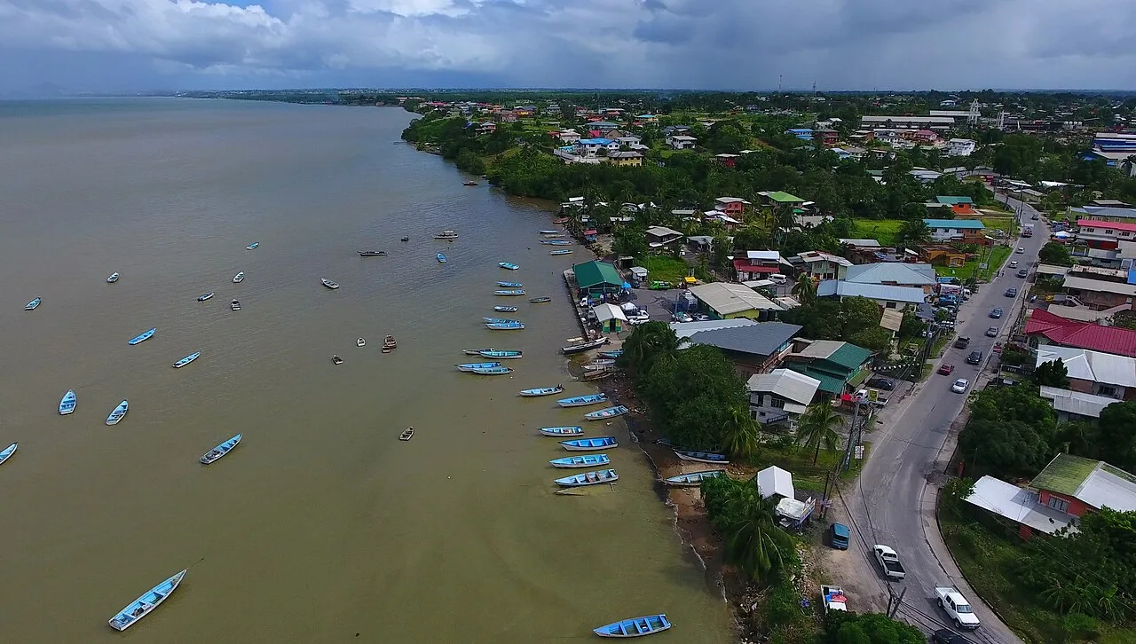
- Nearby: Cedros (17 km)
Best time to visit & climate
The most pleasant time to visit is Jan–Mar.
| Jan | Feb | Mar | Apr | May | Jun | Jul | Aug | Sep | Oct | Nov | Dec | |
|---|---|---|---|---|---|---|---|---|---|---|---|---|
| Avg °C | 26 | 27 | 27 | 28 | 28 | 27 | 27 | 28 | 28 | 28 | 27 | 27 |
| Rain mm | 71 | 42 | 39 | 44 | 100 | 192 | 183 | 185 | 126 | 146 | 148 | 128 |
📋 Practical info
Geography
Facts
- Soldado Rock was officially designated a Wildlife Sanctuary in 1934.
- The rock is composed of Eocene limestone dating back 35-50 million years.
- It is one of the Caribbean's most significant nesting sites for Sooty Terns.
- It is located in the Serpent's Mouth, south of the Icacos Peninsula.
- The total area of the rock is approximately 2 hectares (5 acres).
- The rock acts as a physical marker for the international boundary with Venezuela.
Explore nearby
Notable places around
Route planner — Car & Motorhome
Where do you start? We build the route here, with stops and country notes along the way.
© OpenStreetMap contributors · OpenRouteService
Sights nearby
Frequently asked questions
Can you climb Soldado Rock?
Is it a diving destination?
How do you get there?
Are there beaches there?
Is the area safe?
Soldado Rock: where is it located?
Soldado Rock: when is the best time to visit?
Soldado Rock: why is it worth visiting?
Nearby cities
Nature
More places