Plizio Visual Lab
Chaguaramas Port
Weather…
Water temperature…
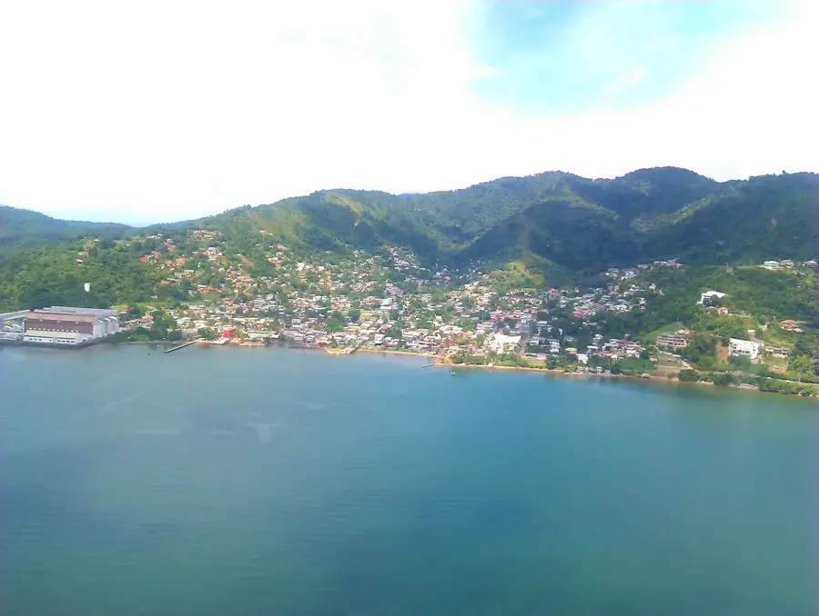
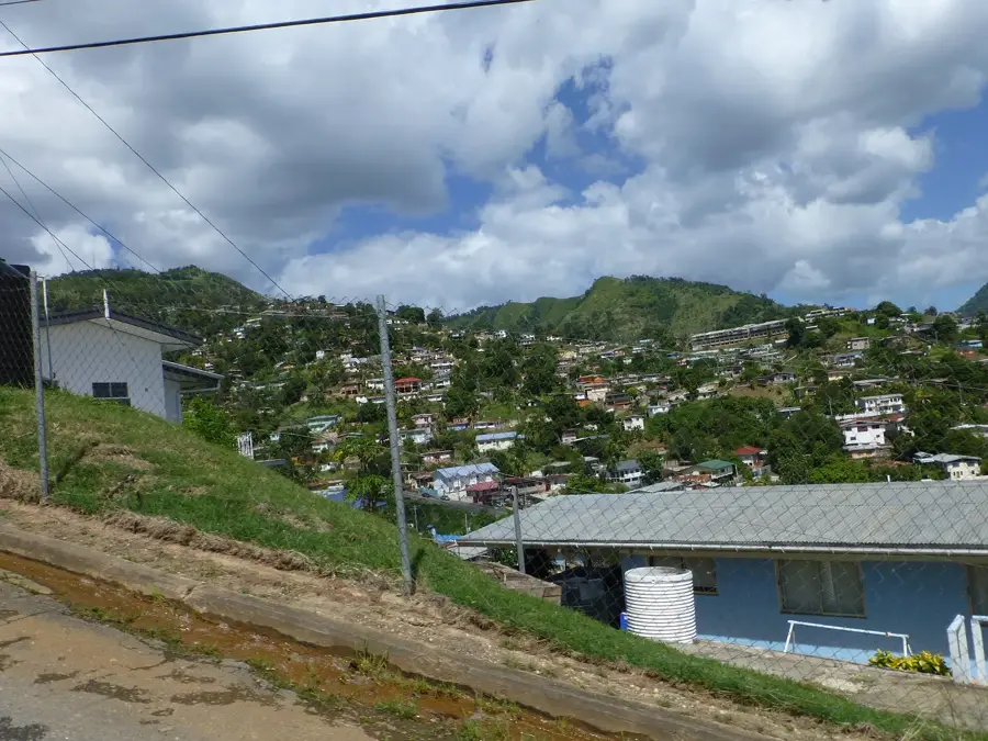
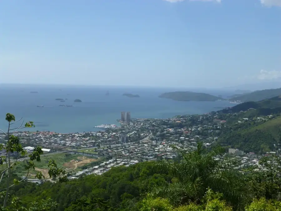
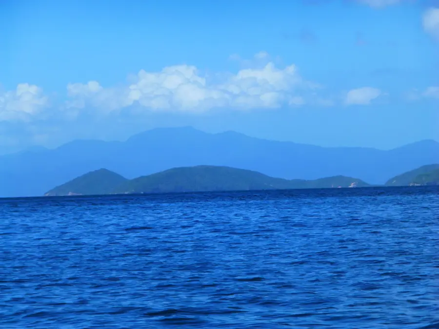
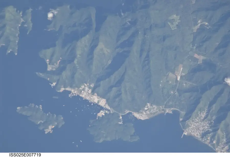
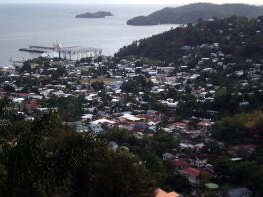
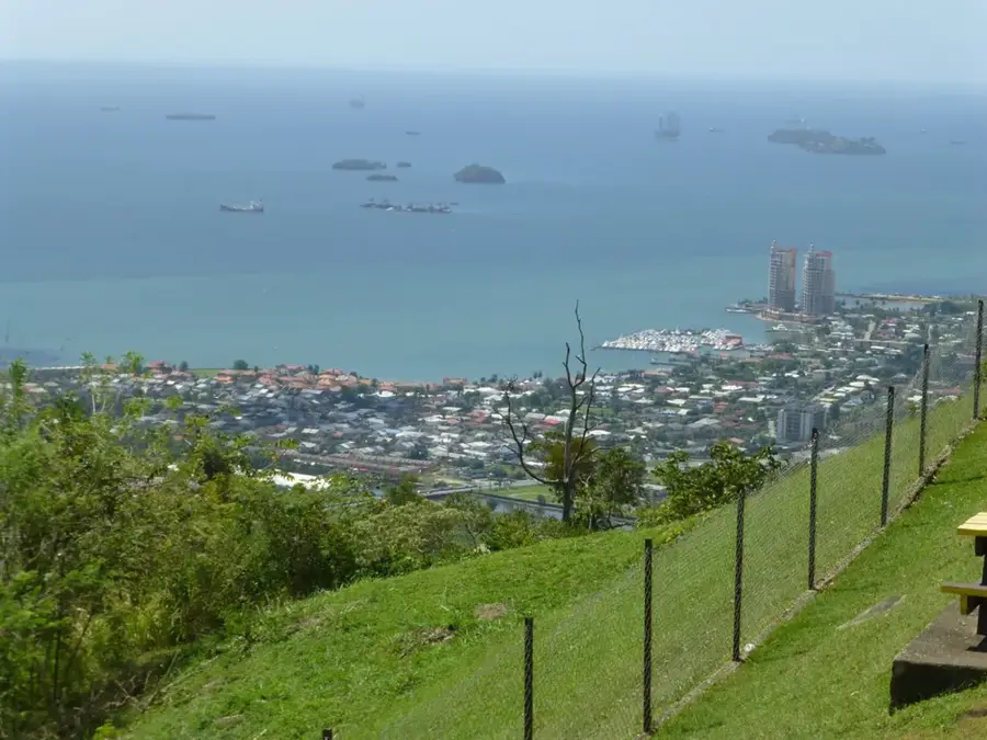
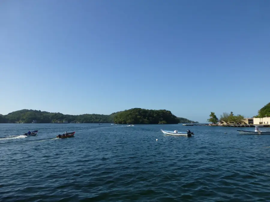
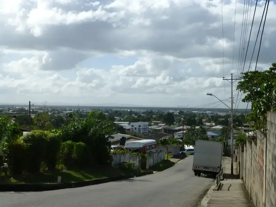
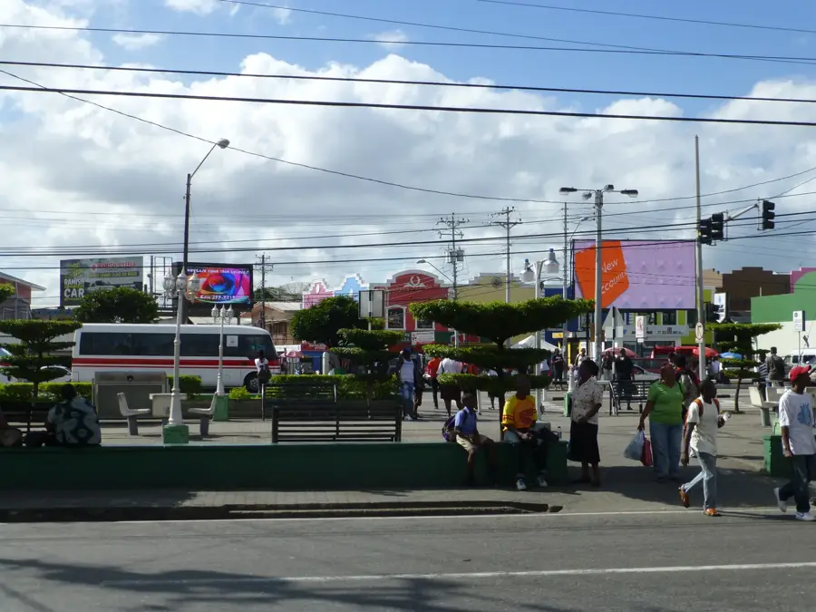
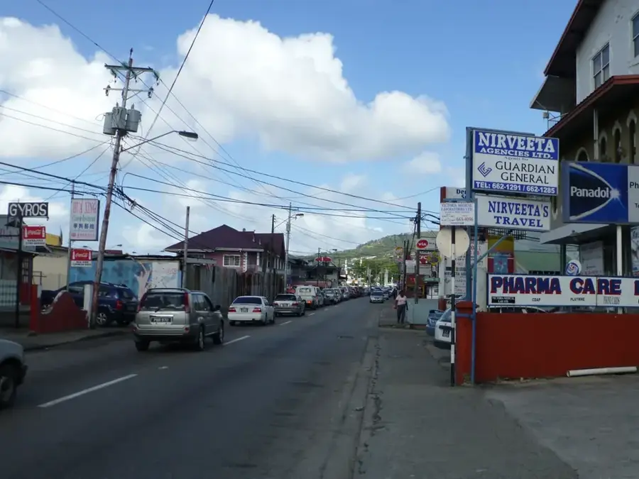
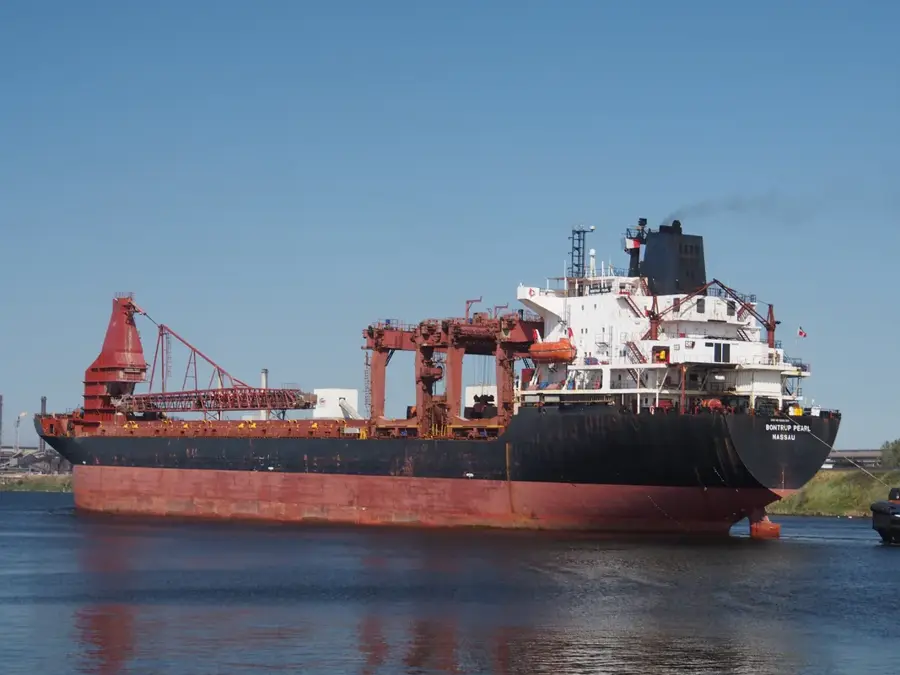
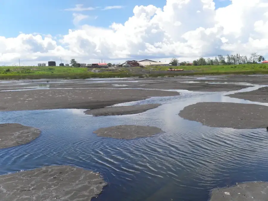
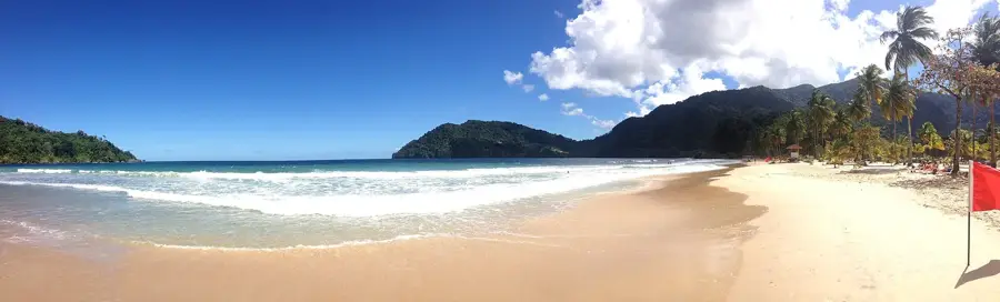
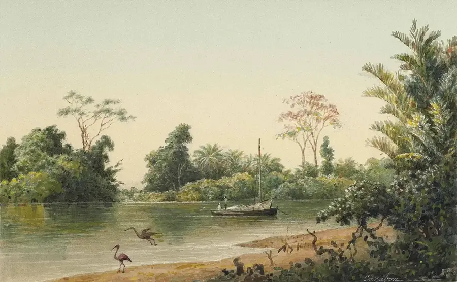
Chaguaramas Port is located on the northwestern peninsula of Trinidad and has a rich and varied history. During World War II, the area served as a major United States naval base under the Destroyers-for-Bases Agreement. Following its return to Trinidad and Tobago in 1967, the port transitioned into a multi-purpose maritime center. Today, Chaguaramas is the hub of the yachting industry in the southern Caribbean, offering extensive dry-docking and repair facilities for vessels of all sizes. In addition to recreational boating, the port plays a vital role in supporting the offshore oil and gas industry through specialized logistics terminals. The region is also renowned for its natural beauty, with the port harmoniously situated between lush mountains and the sea. The maritime infrastructure includes numerous marinas, shipyards, and warehouses, making Chaguaramas one of the most important service locations for shipping in the entire region.
- Location: Trinidad and Tobago
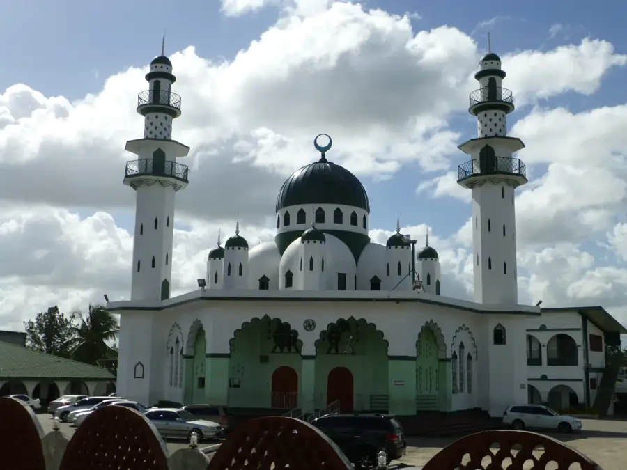
- Top sights: Lenagan Island · Rock Island (Trinidad and Tobago) · Nelson Island (Trinidad and Tobago)
- Nearby: Gasparee (6 km)
Best time to visit & climate
The most pleasant time to visit is Feb–Apr.
| Jan | Feb | Mar | Apr | May | Jun | Jul | Aug | Sep | Oct | Nov | Dec | |
|---|---|---|---|---|---|---|---|---|---|---|---|---|
| Avg °C | 26 | 26 | 27 | 28 | 28 | 27 | 27 | 27 | 27 | 27 | 27 | 26 |
| Rain mm | 100 | 61 | 52 | 56 | 117 | 222 | 202 | 202 | 141 | 176 | 213 | 178 |
📋 Practical info
Geography
Facts
- Former US Naval Base until 1967
- Hub of the Caribbean yachting industry
- Features extensive dry-docking facilities
- Logistics base for offshore oil and gas
- Home to numerous marinas and shipyards
- Gateway to the Chaguaramas National Park
Explore nearby
Notable places around
Route planner — Car & Motorhome
Where do you start? We build the route here, with stops and country notes along the way.
© OpenStreetMap contributors · OpenRouteService
Sights in the town Chaguaramas Port (3)
Sights nearby
Frequently asked questions
What is special about the Chaguaramas port?
Are there marinas there?
Is Chaguaramas a family-friendly destination?
How do you get to Chaguaramas?
What is the best season to visit?
Chaguaramas Port: where is it located?
Chaguaramas Port: what is there to see?
Chaguaramas Port: when is the best time to visit?
Chaguaramas Port: why is it worth visiting?
Nearby cities

History & landmarks


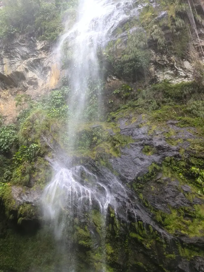
Nature
More places