Plizio Visual Lab
Chacachacare Island
Weather…
Water temperature…
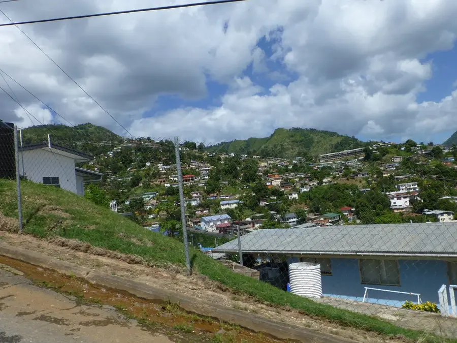
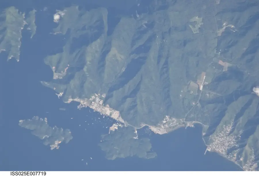
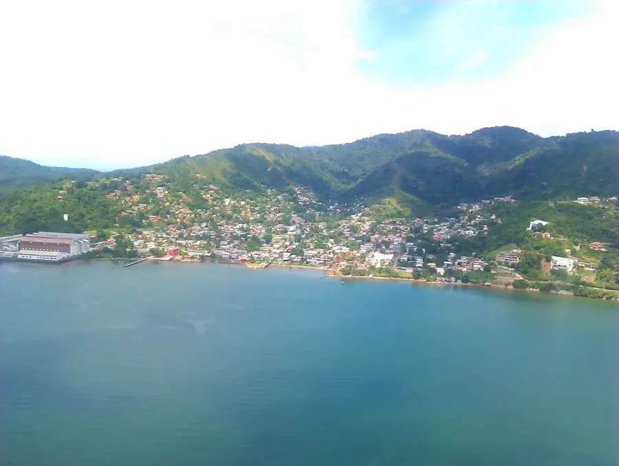
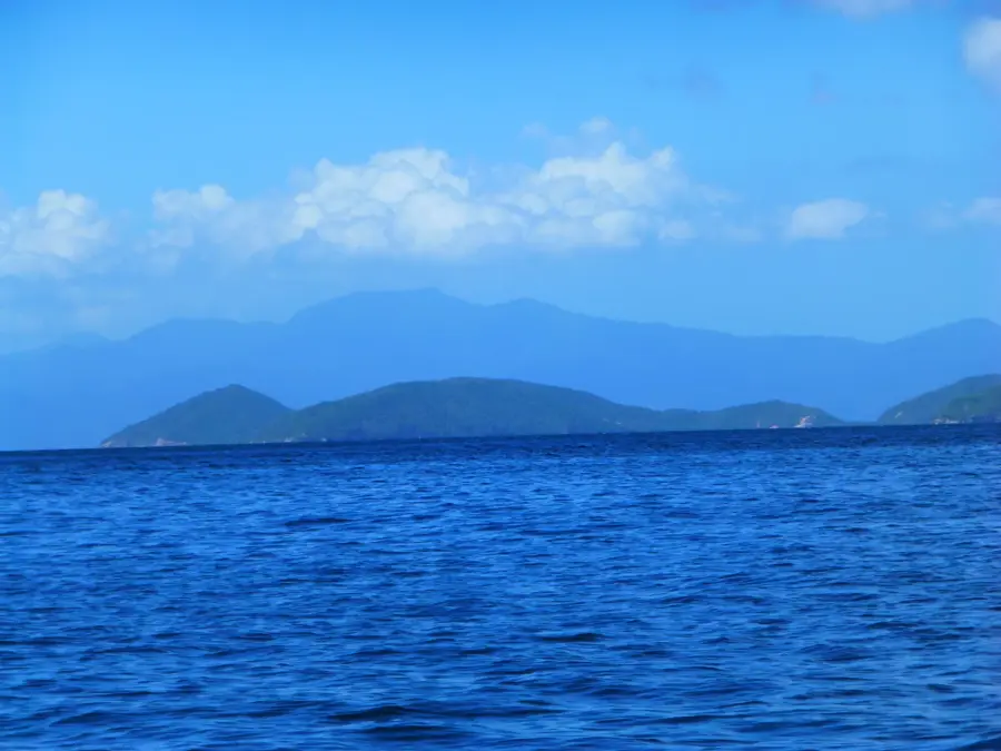
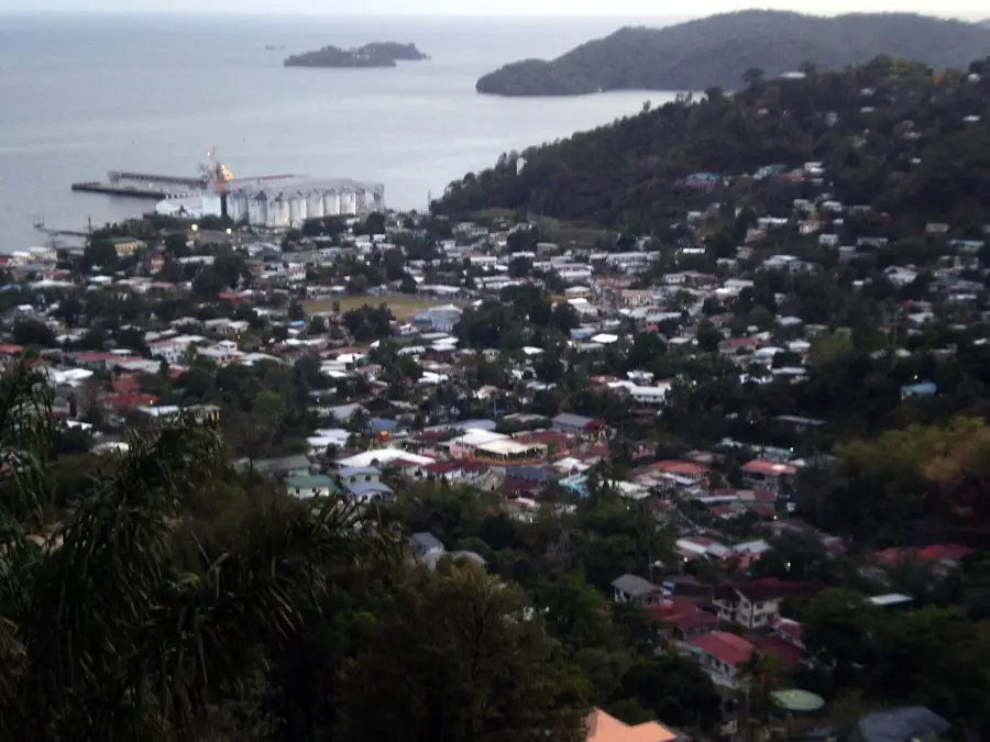
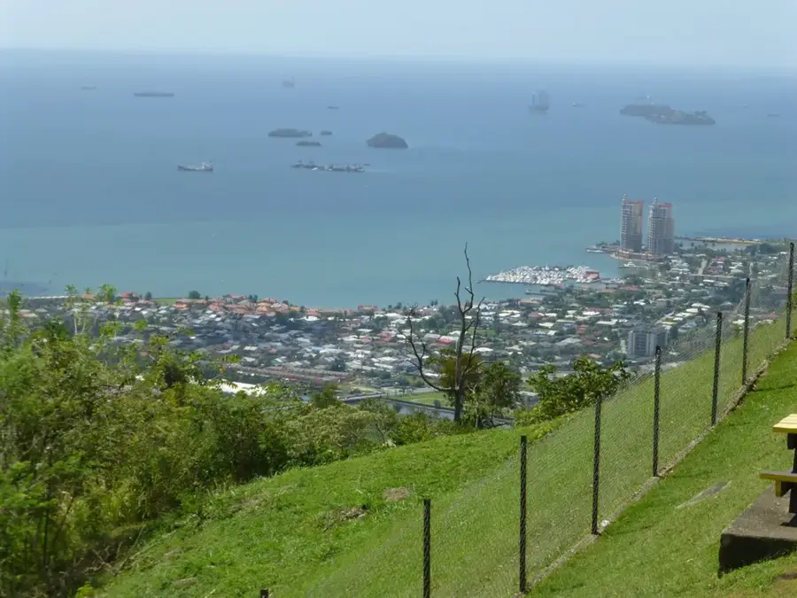
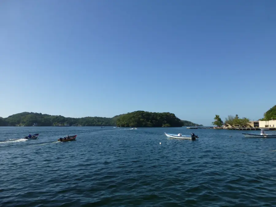
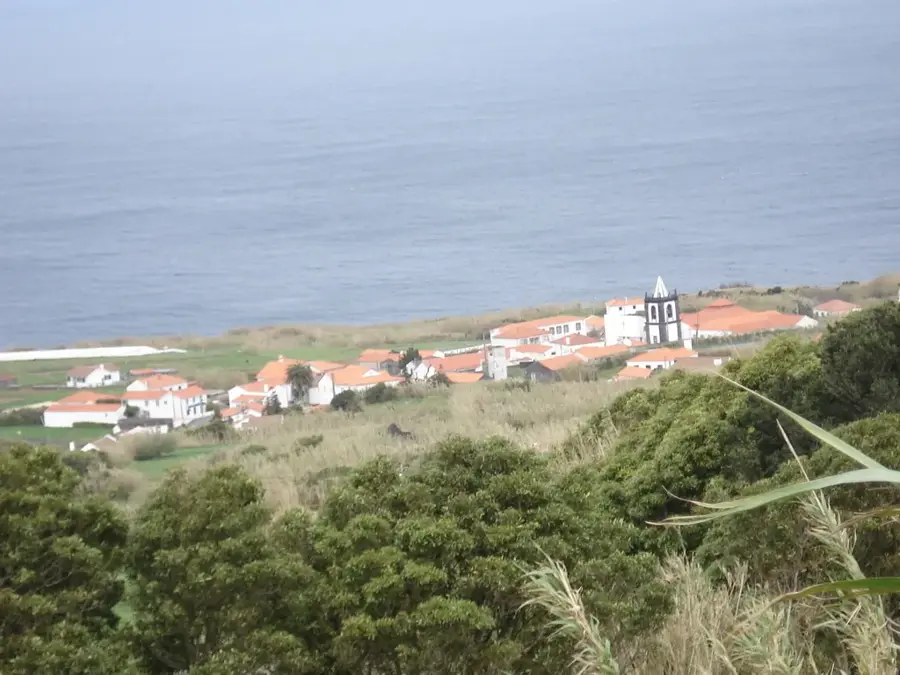
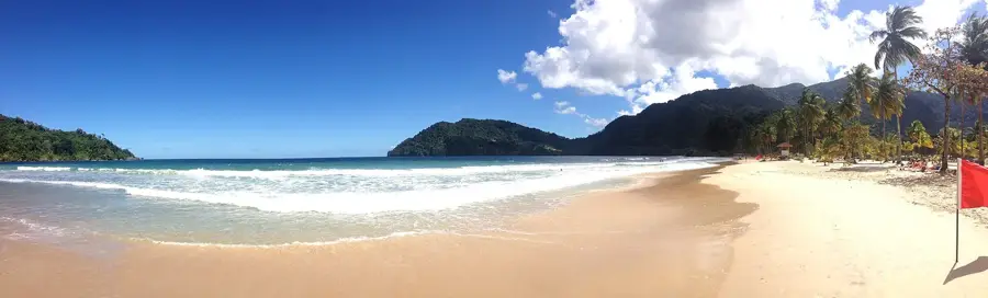
Chacachacare Island is the westernmost of the Bocas Islands, positioned in the Bocas del Dragón strait between Trinidad and Venezuela. This horseshoe-shaped island has a multifaceted history, transitioning from 18th-century cotton plantations to a significant whaling station in the 1800s. Its most poignant chapter was as a leper colony from 1922 to 1984, managed by the Dominican Sisters. Today, the haunting ruins of the hospital, chapel, and doctors' quarters serve as a testament to this period. At its highest peak, 251 meters above sea level, stands a functional lighthouse established in 1897 to guide vessels through the treacherous currents. The island's ecology is unique, featuring rare dry tropical forests and a landlocked salt pond. Though currently uninhabited, it attracts visitors interested in its somber history and pristine coastal environment. The surrounding waters are known for their depth and diversity of marine life, though the currents remain a challenge for navigation.
- Location: Trinidad and Tobago
- Nearby: Gasparee (11 km)
Best time to visit & climate
The most pleasant time to visit is Feb–Apr.
| Jan | Feb | Mar | Apr | May | Jun | Jul | Aug | Sep | Oct | Nov | Dec | |
|---|---|---|---|---|---|---|---|---|---|---|---|---|
| Avg °C | 26 | 26 | 27 | 28 | 28 | 27 | 27 | 27 | 27 | 27 | 27 | 26 |
| Rain mm | 100 | 61 | 52 | 56 | 117 | 222 | 202 | 202 | 141 | 176 | 213 | 178 |
📋 Practical info
Geography
Facts
- The island covers an area of approximately 900 acres (3.6 km²).
- The highest point, Morne Cabrite, rises 251 meters above sea level.
- The leper colony operated for 62 years before closing in 1984.
- It is located approximately 7 miles from the Venezuelan mainland.
- The island contains a natural inland salt pond near the Sanders Bay.
- Historical ruins include a 1920s-era cinema for the hospital staff.
Explore nearby
Notable places around
Route planner — Car & Motorhome
Where do you start? We build the route here, with stops and country notes along the way.
© OpenStreetMap contributors · OpenRouteService
Sights in the town Chacachacare Island (1)
Sights nearby
Frequently asked questions
What makes Chacachacare Island special?
Can you swim there?
How do you get there?
Are there accommodations there?
Is there anything to keep in mind?
Chacachacare Island: where is it located?
Chacachacare Island: when is the best time to visit?
Chacachacare Island: why is it worth visiting?
Nearby cities
History & landmarks

Nature
More places