Plizio Visual Lab
Villa Sandino
ℹ️Practical info — Villa Sandino
▾
🌤 Weather — 5 days
📍 Nearby
Sights nearby
💡 Tips
- Go to the Mayor’s Office (Alcaldía) first to pay the entry fee for the petroglyphs site.
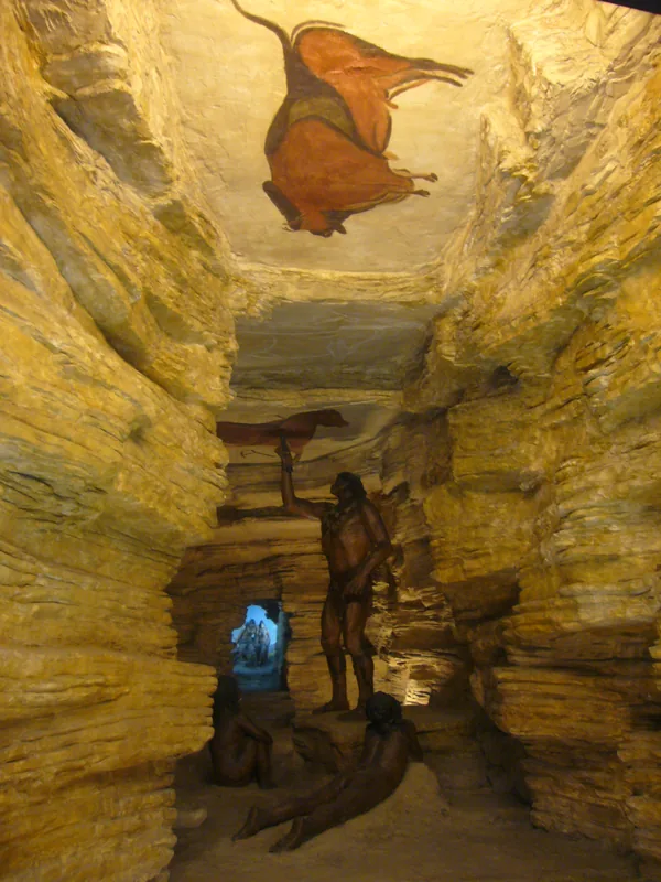
- The Piedras Pintadas Archaeological Park contains over 1,500 pre-Columbian stone carvings.
- Wear sturdy hiking boots and sun protection for the walk through the park's wooded terrain.
- Visit during the dry season (December to April) for easier road access to the rural sites.
- Request a park ranger at the Alcaldía to accompany you and explain the meaning of the carvings.
🍽 Food
Grilled beef from local ranches, typically served with Gallo Pinto and fried plantains.
A firmer, salted fresh curd cheese that is characteristic of the Chontales region.
A hearty beef soup with plenty of root vegetables, excellent for a traditional rural lunch.
🛍 Shopping · 🧘 Quiet spots
Handmade leather belts from local producers, often featuring decorative designs.
Villa Sandino is known for high-quality riding equipment and saddles for ranch work.
Durable cowboy boots designed for daily work on the surrounding cattle ranches.
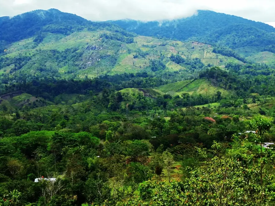
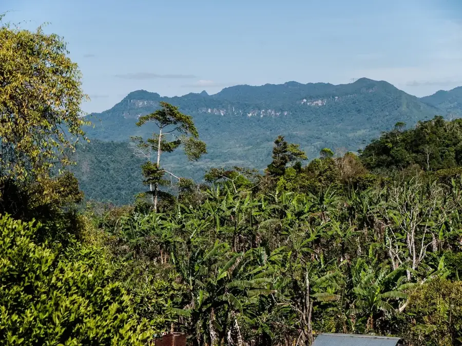
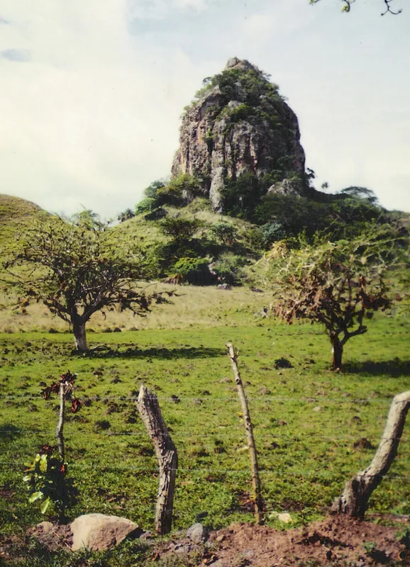
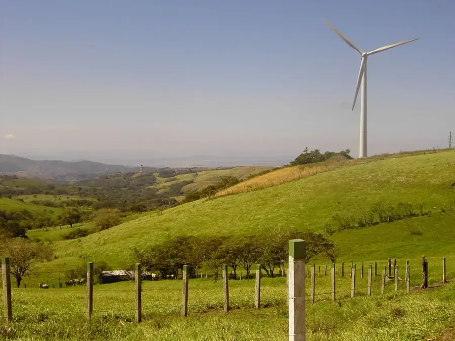
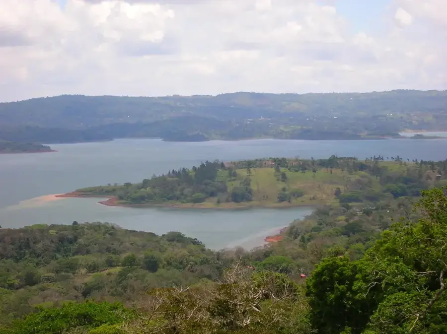
Enjoy the vast views of the Amerrisque mountain range from the park grounds.
A natural stone pool within the archaeological park, steeped in local legends.
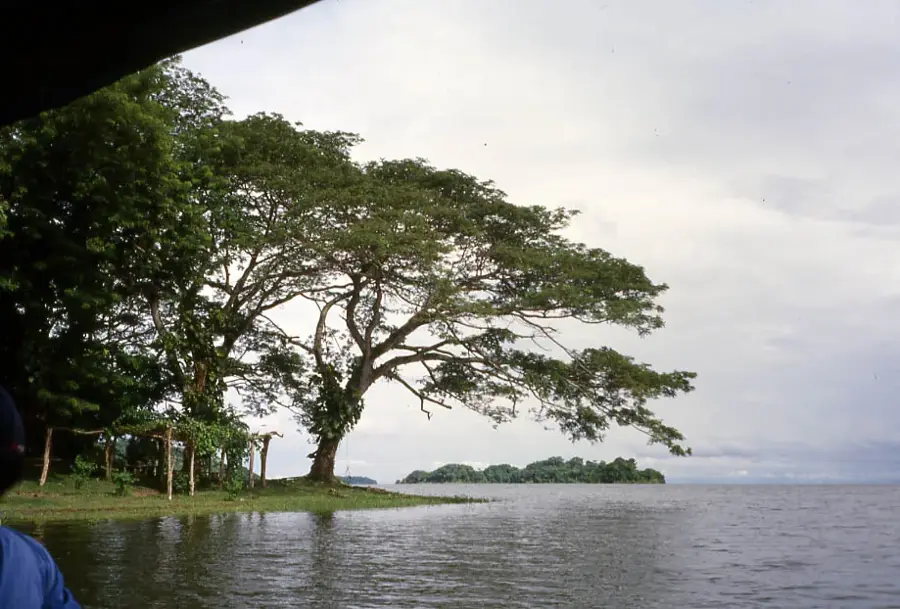
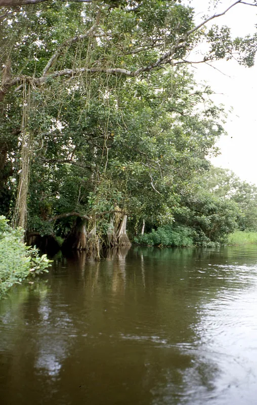
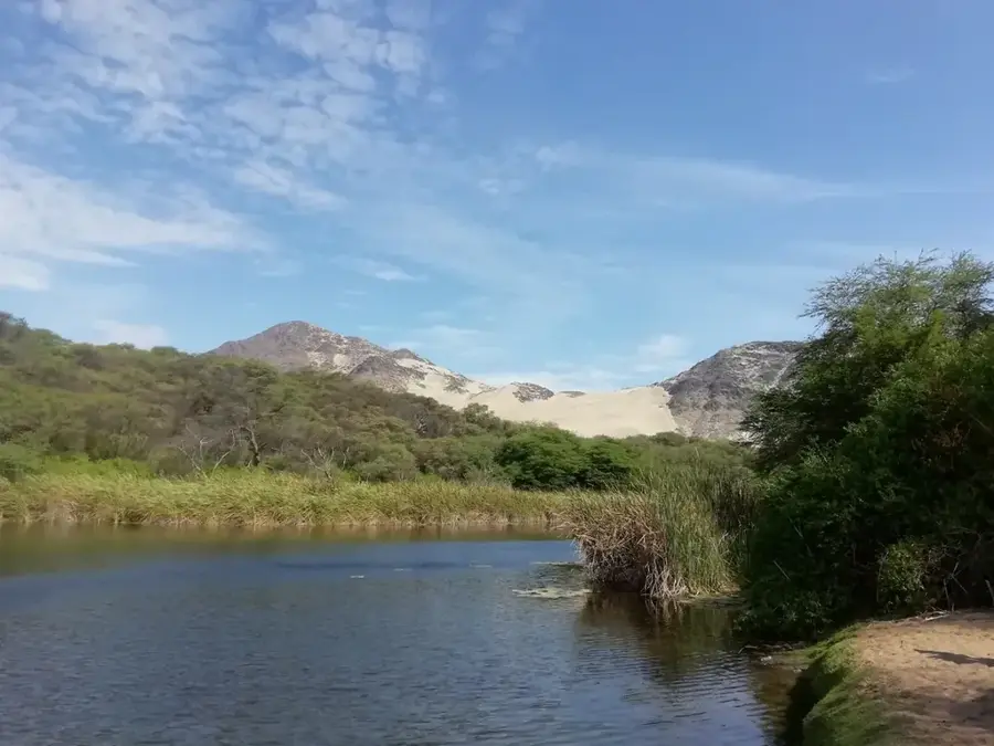
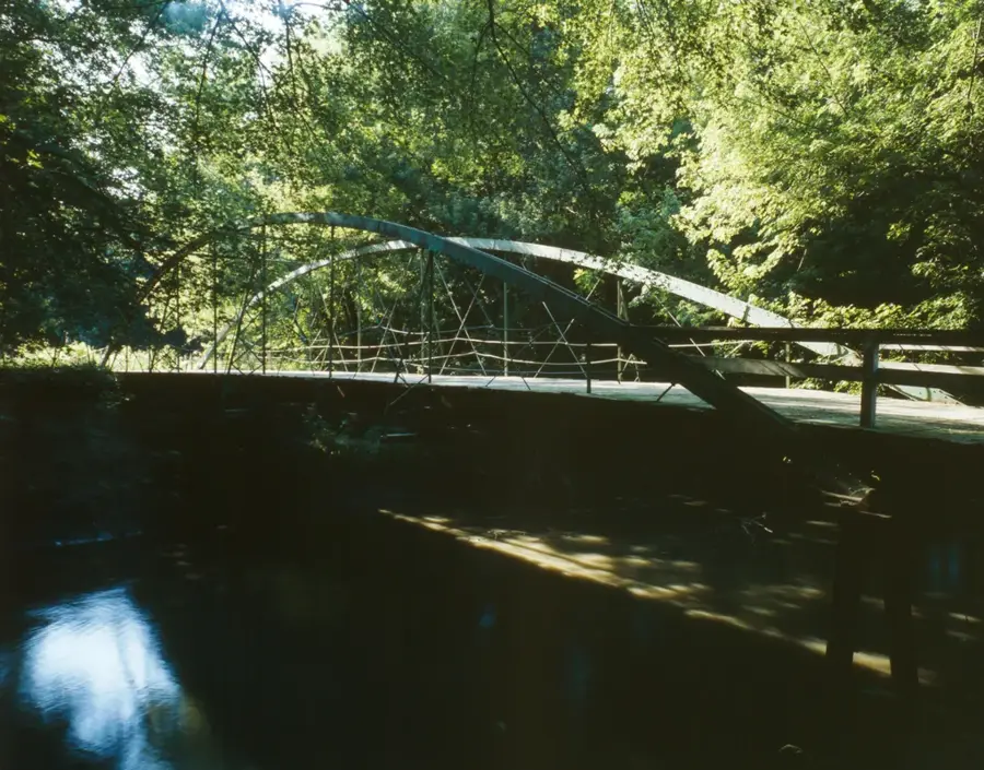
Quiet spots along the riverbank outside of town offer peace and pure nature.
Water temperature…
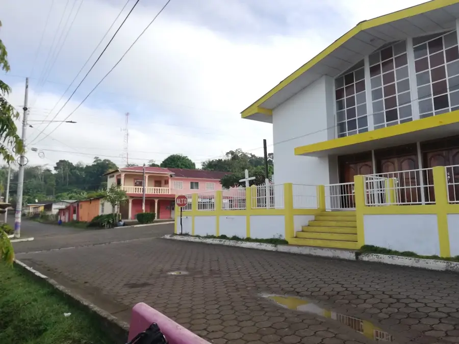
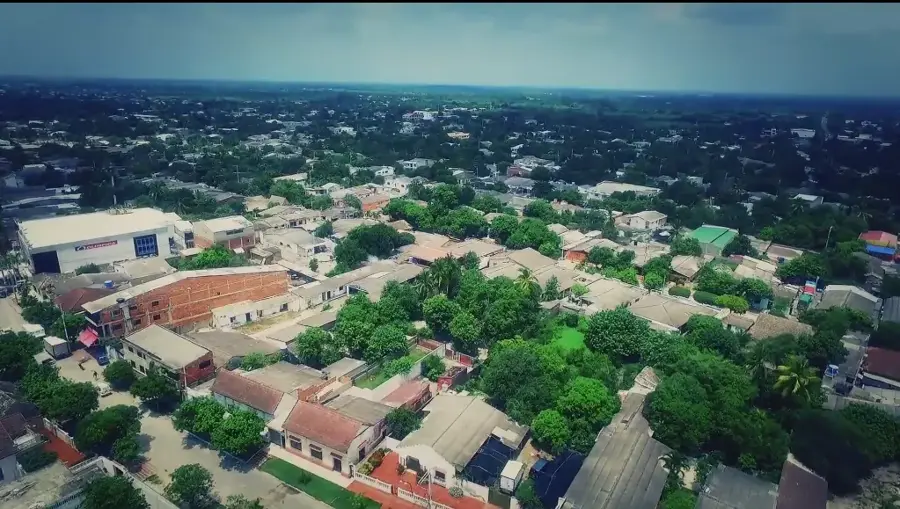
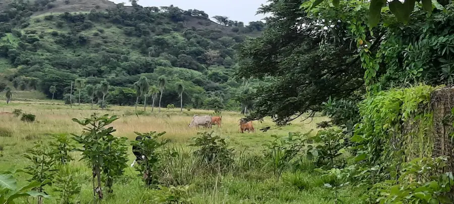
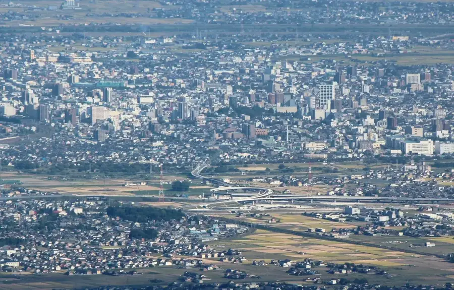
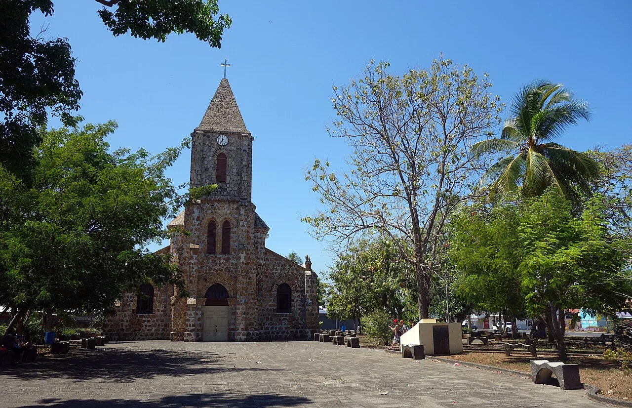
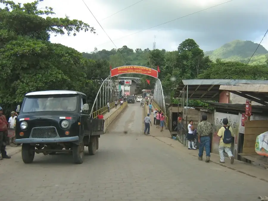
Villa Sandino is a historic municipality in the Chontales Department, located along the highway between Santo Tomás and El Rama. Originally known as 'San Francisco del Carnicero', it was renamed in honor of General Augusto C. Sandino after the 1979 revolution. The area is most famous for the spectacular archaeological site of 'Piedras Pintadas', a massive collection of ancient pre-Columbian petroglyphs carved into volcanic rocks by indigenous tribes centuries ago. The local economy, like the rest of Chontales, is based strictly on cattle ranching and dairy. The town maintains a quiet, rural atmosphere despite its location on a major transport corridor.
- Location: Nicaragua
- Nearby: Santo Tomás (10 km)
- Population: ~7.799 (2026)
Best time to visit & climate
The most pleasant time to visit is Jan, Feb, Dec.
| Jan | Feb | Mar | Apr | May | Jun | Jul | Aug | Sep | Oct | Nov | Dec | |
|---|---|---|---|---|---|---|---|---|---|---|---|---|
| Avg °C | 25 | 26 | 27 | 29 | 28 | 26 | 26 | 26 | 26 | 25 | 24 | 24 |
| Rain mm | 10 | 6 | 7 | 26 | 179 | 179 | 128 | 172 | 261 | 296 | 116 | 18 |
Geography
Facts
- Originally named 'San Francisco del Carnicero' before being renamed after the 1979 revolution.
- Home to 'Piedras Pintadas', one of the largest concentrations of pre-Columbian petroglyphs in Nicaragua.
- Located strategically on the highway connecting Chontales to the Caribbean port of El Rama.
- The local economy is driven primarily by extensive cattle ranching and milk production.
- Elevated to the status of a municipality in the year 1942.
- The area features a transitionary climate between the central highlands and the tropical east.
Explore nearby
Notable places around
Route planner — Car & Motorhome
Where do you start? We build the route here, with stops and country notes along the way.
© OpenStreetMap contributors · OpenRouteService
Frequently asked questions
What characterizes Villa Sandino?
What can you do nearby?
How is the infrastructure for travelers?
Is it family-friendly?
Which season is best?
Villa Sandino: where is it located?
Villa Sandino: when is the best time to visit?
Villa Sandino: why is it worth visiting?

Nearby cities
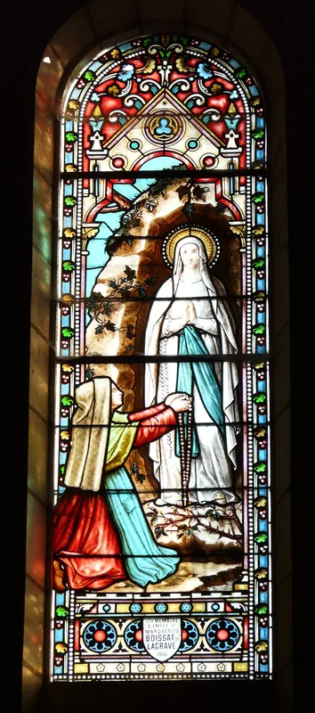
History & landmarks
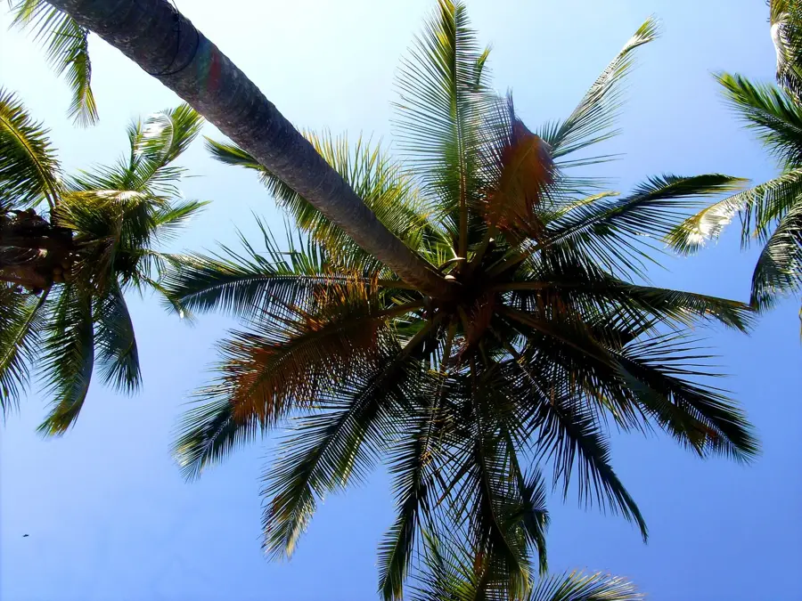
Nature


More places