Plizio Visual Lab
Paiwas
ℹ️Practical info — Paiwas
▾
🌤 Weather — 5 days
📍 Nearby
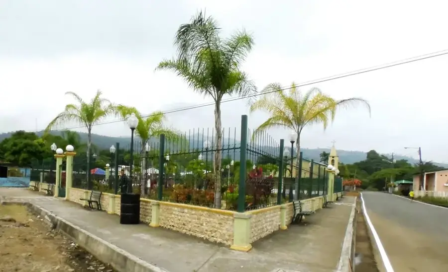
Sights nearby
💡 Tips
- Be prepared for rain; Paiwas is in a transition zone towards the humid Caribbean basin.
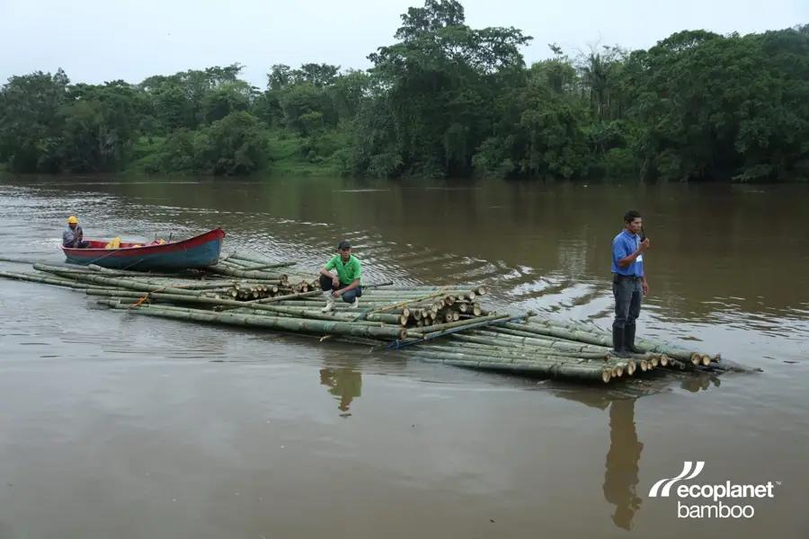
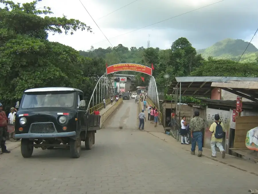
- Travel often requires a boat ride (panga) across the Río Grande de Matagalpa.
- It is a very rural place; ATMs and card payments are almost non-existent.
- Visit the local market early in the morning when farmers bring their goods.
- Insect repellent is essential due to the proximity of the river and jungle.
🍽 Food
Fresh river fish, usually fried and served with cassava.
Here the Pacific cuisine starts to blend with Caribbean influences.
A traditional drink made from boiled plantains and milk.
🛍 Shopping · 🧘 Quiet spots
A wide variety of exotic fruits directly from the surrounding plantations.
High-quality raw cocoa grown in the region.
The river mouth provides a soothing natural setting.
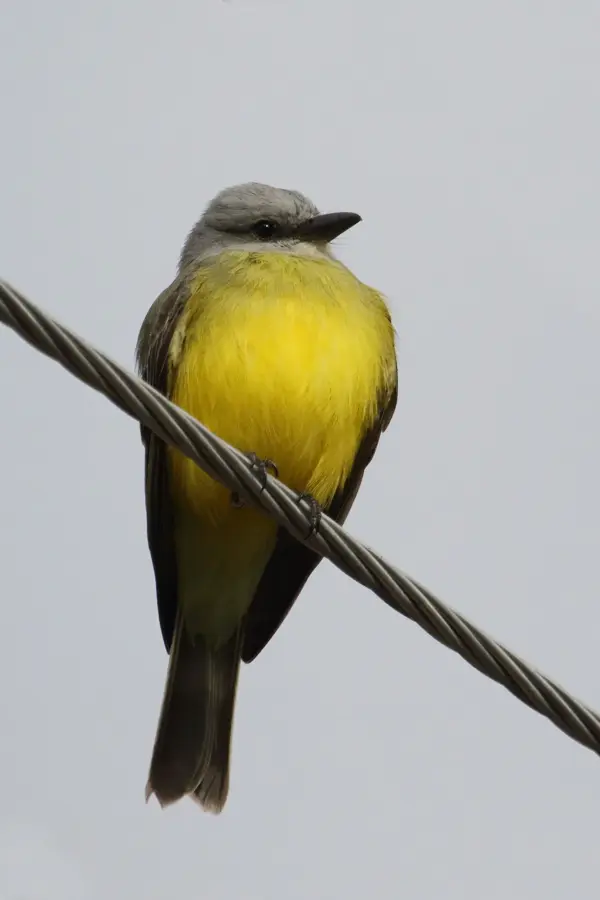
Short hikes at the forest edge are handy for bird watching.
Water temperature…
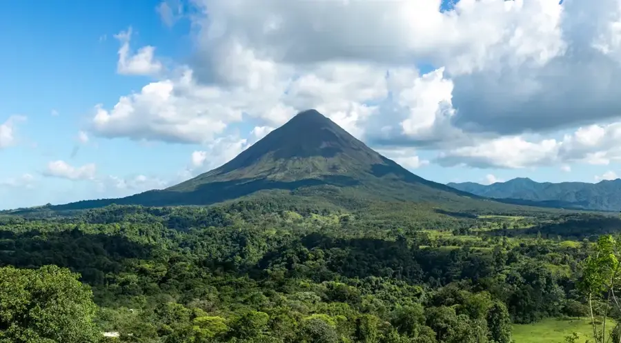
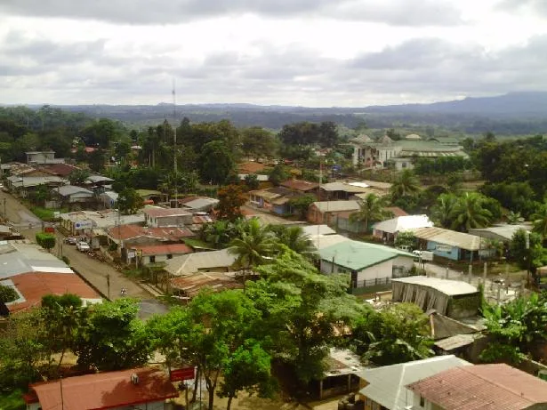
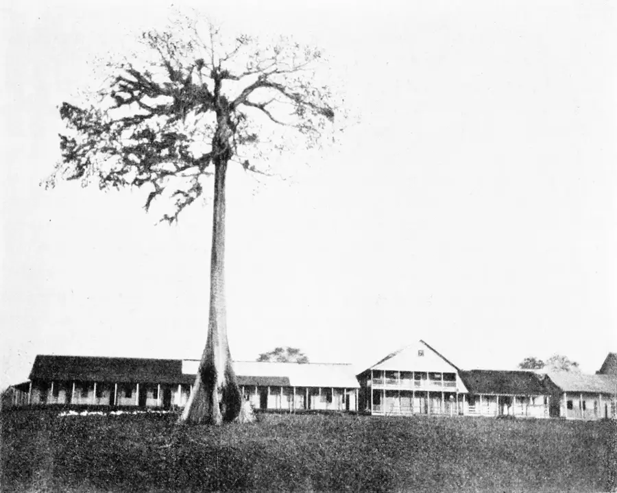
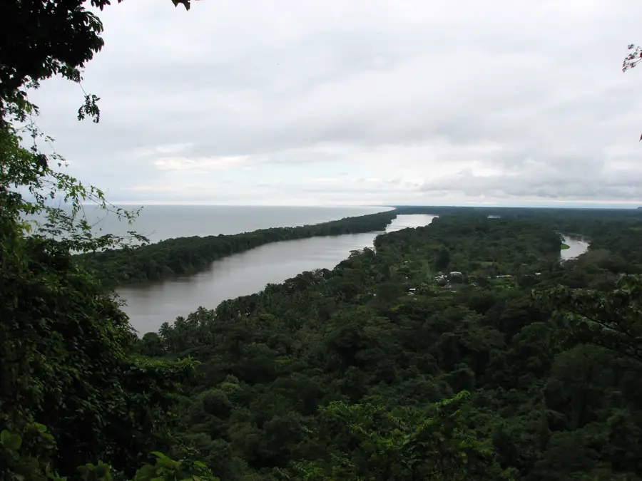
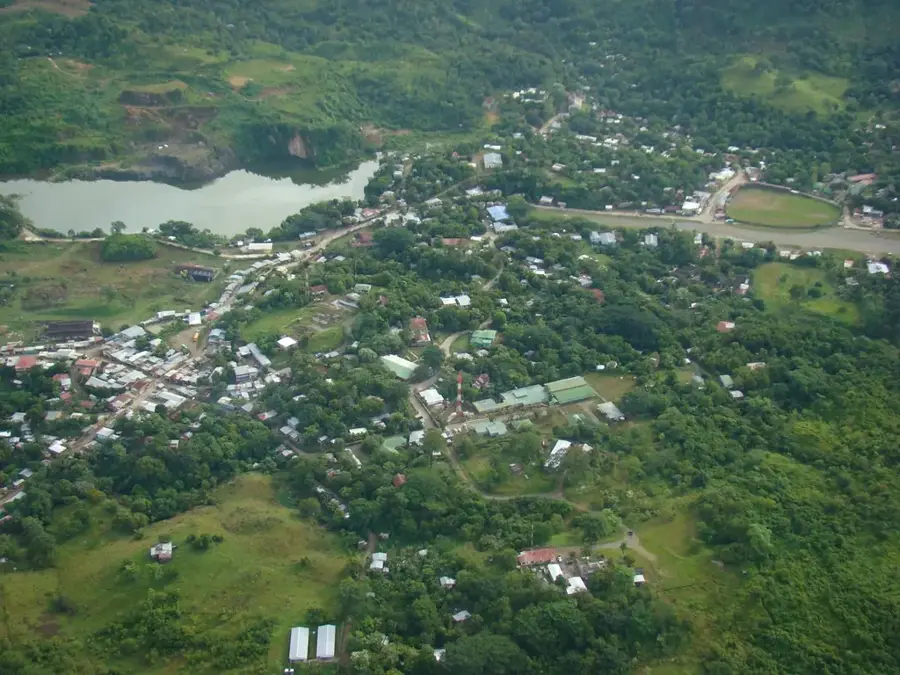
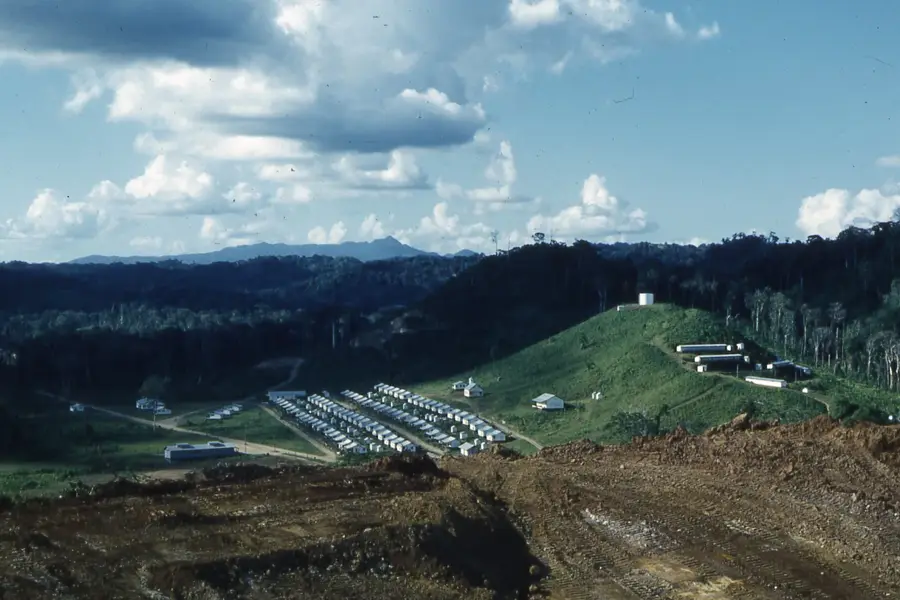
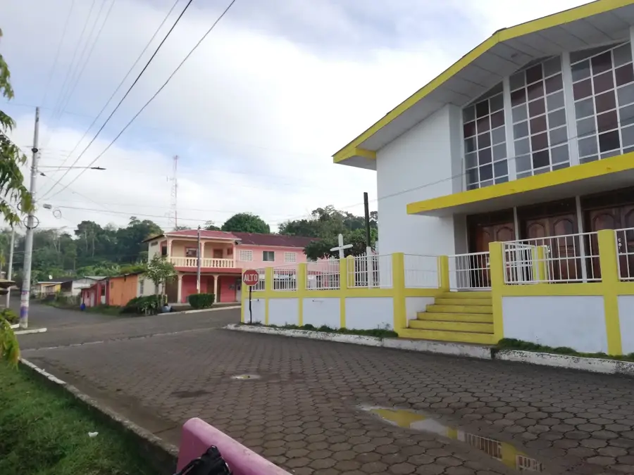
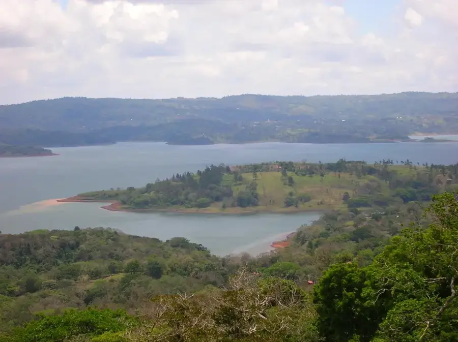
Paiwas, formally known as Bocas de Paiwas, is a strategically located municipality at the intersection of Nicaragua's central highlands and the South Caribbean Coast Autonomous Region. Situated at the confluence of the Tuma and Paiwas Rivers, the town has historically functioned as a vital gateway for trade between the country's interior and the Caribbean coast. The geography is characterized by rugged, forested terrain and high levels of rainfall, which sustain the region's productive agricultural and pastoral activities. Cattle ranching is the dominant economic driver, supplemented by the cultivation of basic grains and a growing interest in high-quality cocoa production. During the 1980s, the area's difficult terrain made it a significant theater for military operations, leaving a lasting mark on the local historical memory. Today, Paiwas is a growing commercial hub where the cultural traditions of western mestizo farmers merge with the autonomous spirit of the Caribbean frontier. Improvements in road connectivity are slowly integrating this once-remote outpost more closely with the national economy of Nicaragua.
- Location: Nicaragua
- Nearby: Siuna (12 km)
Best time to visit & climate
The most pleasant time to visit is Jan–Mar.
| Jan | Feb | Mar | Apr | May | Jun | Jul | Aug | Sep | Oct | Nov | Dec | |
|---|---|---|---|---|---|---|---|---|---|---|---|---|
| Avg °C | 24 | 25 | 27 | 29 | 28 | 27 | 26 | 26 | 26 | 26 | 25 | 25 |
| Rain mm | 56 | 31 | 22 | 28 | 140 | 185 | 175 | 169 | 191 | 269 | 167 | 74 |
Geography
Facts
- Paiwas is located at the confluence of the Tuma and Paiwas Rivers.
- The municipality covers an area of approximately 2,375 square kilometers.
- Cattle ranching is the primary source of income for the local population.
- The name 'Paiwas' is derived from indigenous terms meaning 'two waters'.
- The region experiences some of the highest rainfall levels in central Nicaragua.
- Historically, it served as a major strategic point during the civil conflicts.
Explore nearby
Notable places around
Route planner — Car & Motorhome
Where do you start? We build the route here, with stops and country notes along the way.
© OpenStreetMap contributors · OpenRouteService
Frequently asked questions
What is the character of Paiwas?
Is a trip here worth it?
What is the infrastructure like?
What is the best travel time?
What should you have in your luggage?
Paiwas: where is it located?
Paiwas: when is the best time to visit?
Paiwas: why is it worth visiting?

Nearby cities
History & landmarks
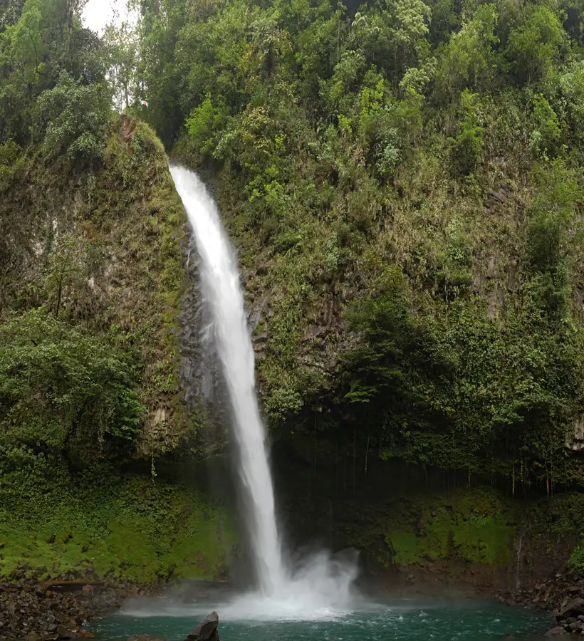
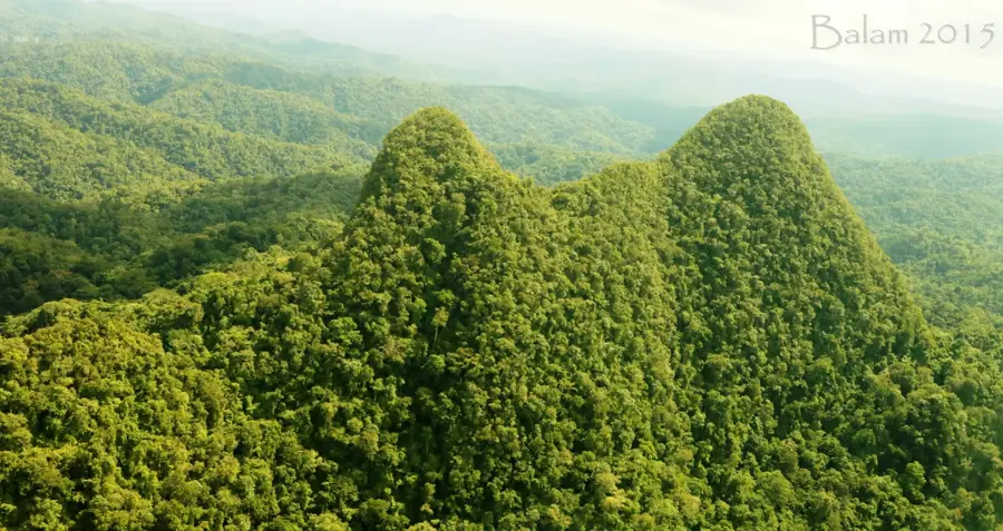
Nature
More places