Plizio Visual Lab
Escondido River

Weather…
Water temperature…
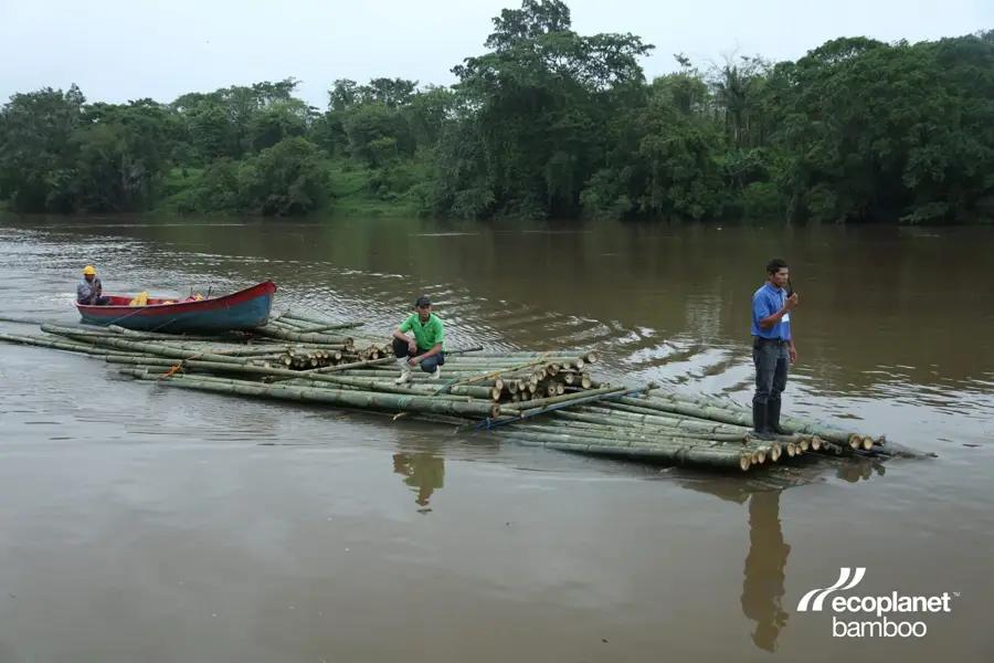
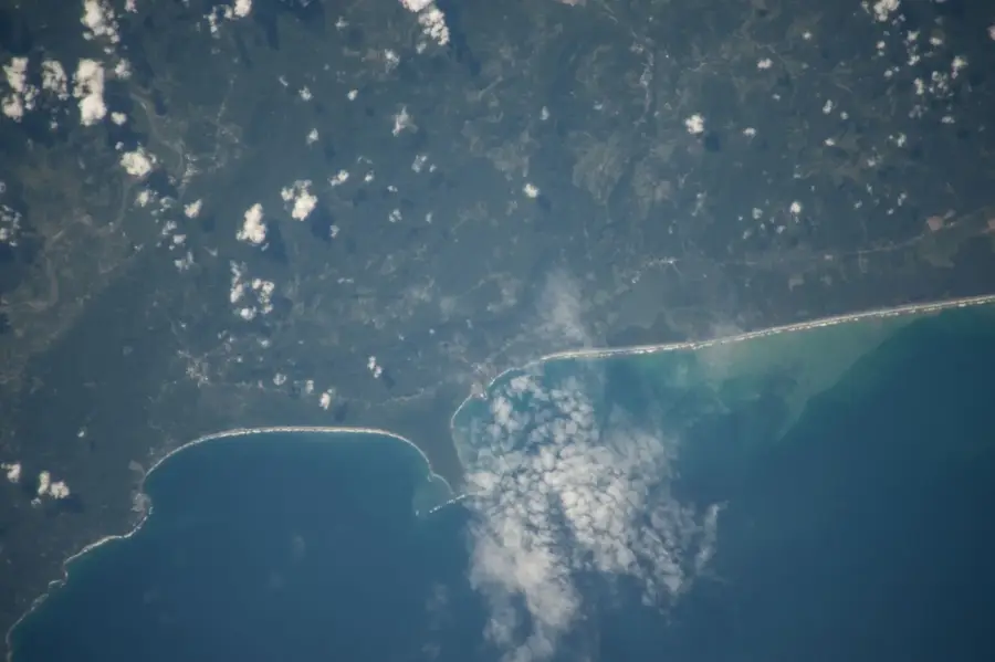
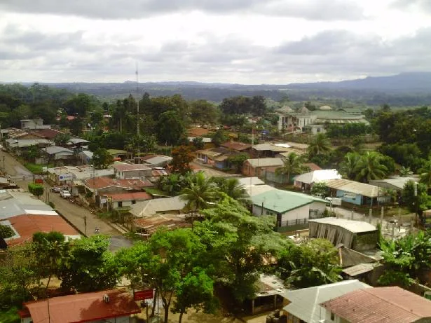
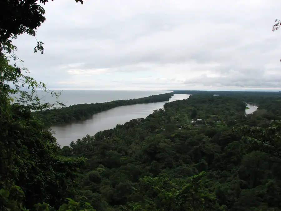
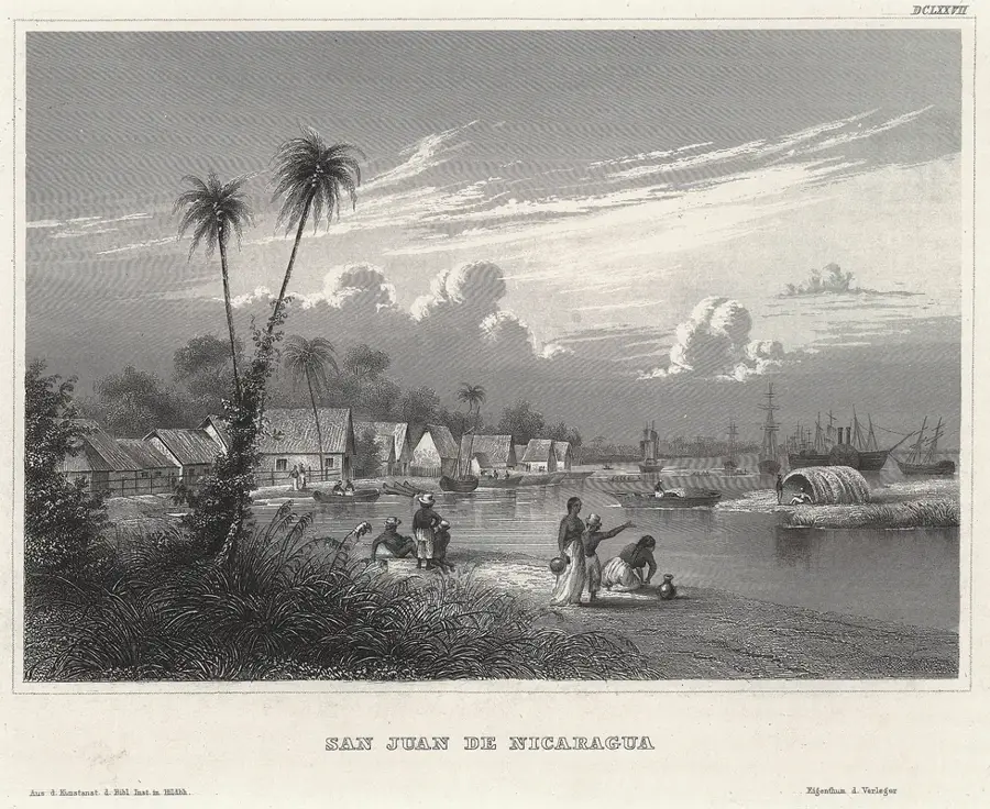
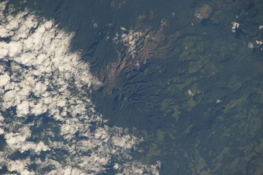
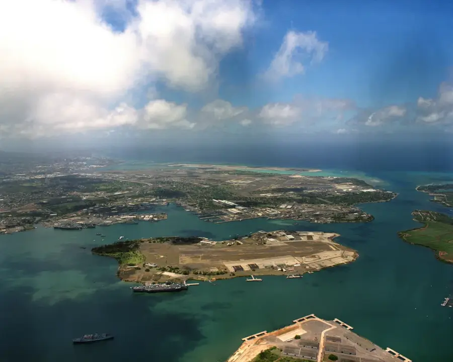
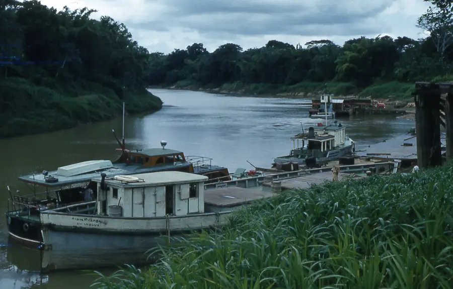
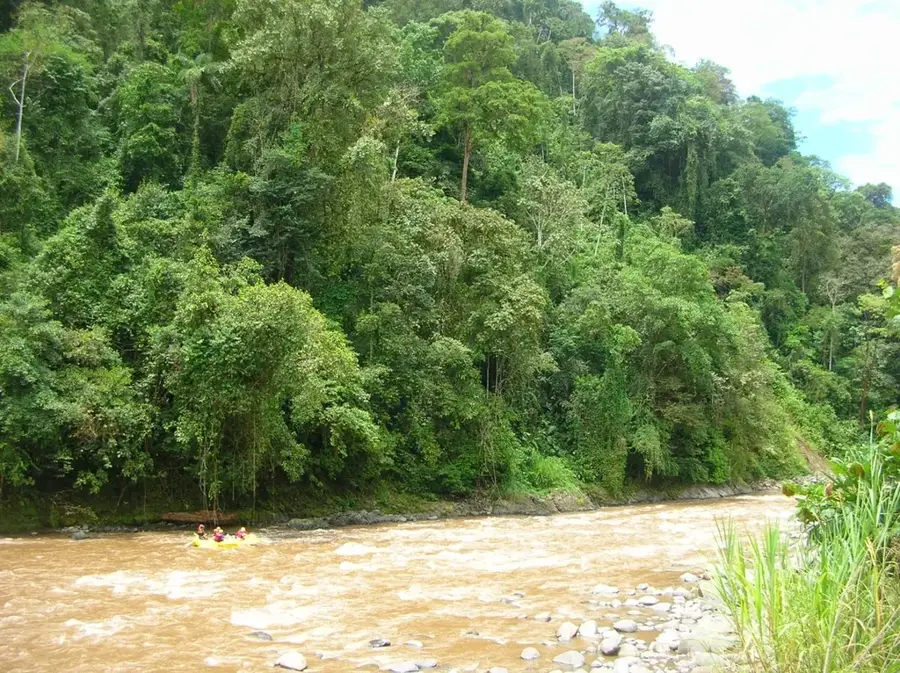
The Escondido River is one of Nicaragua's most vital waterways, flowing through the South Caribbean Coast Autonomous Region (RACCS) and emptying into Bluefields Bay on the Atlantic coast. The river officially begins at the town of El Rama, where the Mico, Siquia, and Rama rivers converge, spanning approximately 88 kilometers from that point to the sea. Historically, the river has played a pivotal role in trade between the nation's interior and the Atlantic coast, as it is one of the deepest and most navigable rivers in the region. Its banks are lined with dense tropical rainforests that provide a habitat for diverse wildlife, including caimans and numerous tropical bird species. Communities along the river, particularly the indigenous Rama people, have maintained a deep connection with the water for centuries, relying on it for transportation and livelihood. Today, the Escondido River continues to be a crucial logistical corridor, linking the Pacific region with eastern ports and facilitating the transport of agricultural goods and fuel to remote areas.
- Location: Nicaragua
- Nearby: San Juan de Nicaragua (Greytown) (16 km)
Best time to visit & climate
The most pleasant time to visit is Jan–Mar.
| Jan | Feb | Mar | Apr | May | Jun | Jul | Aug | Sep | Oct | Nov | Dec | |
|---|---|---|---|---|---|---|---|---|---|---|---|---|
| Avg °C | 25 | 26 | 27 | 28 | 27 | 27 | 27 | 27 | 27 | 26 | 26 | 26 |
| Rain mm | 94 | 48 | 38 | 62 | 272 | 337 | 353 | 315 | 337 | 424 | 328 | 137 |
📋 Practical info
Geography
Facts
- The river is navigable for 88 kilometers starting from El Rama.
- It is formed by the confluence of the Mico, Siquia, and Rama rivers.
- The mouth is located in the strategically important Bluefields Bay.
- Large ships with a draft of up to 12 feet can navigate the river.
- The drainage basin features a tropical rainforest climate.
- The river is the primary link to the deep-water port of El Bluff.
Explore nearby
Notable places around
Route planner — Car & Motorhome
Where do you start? We build the route here, with stops and country notes along the way.
© OpenStreetMap contributors · OpenRouteService
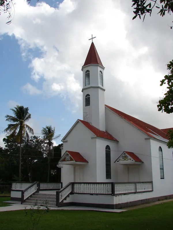
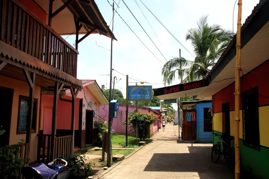
Sights in the town Escondido River (1)
Sights nearby
Frequently asked questions
Is the Río Escondido navigable?
Can you book boat tours there?
What animals can you see on a boat trip?
Is the river safe for tourists?
What is the best time for a trip?
Escondido River: where is it located?
Escondido River: when is the best time to visit?
Escondido River: why is it worth visiting?

Nearby cities
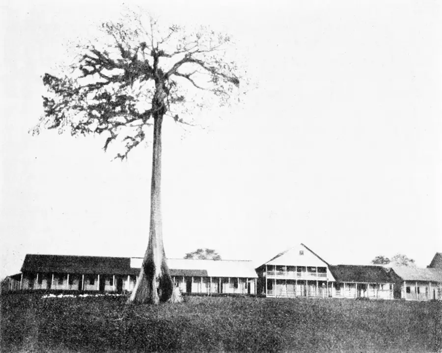


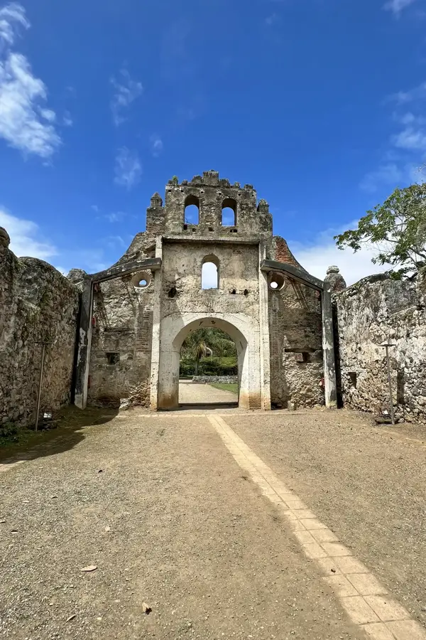
History & landmarks

Nature
More places