Plizio Visual Lab
Port of El Bluff
Weather…
Water temperature…
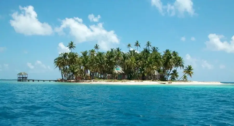
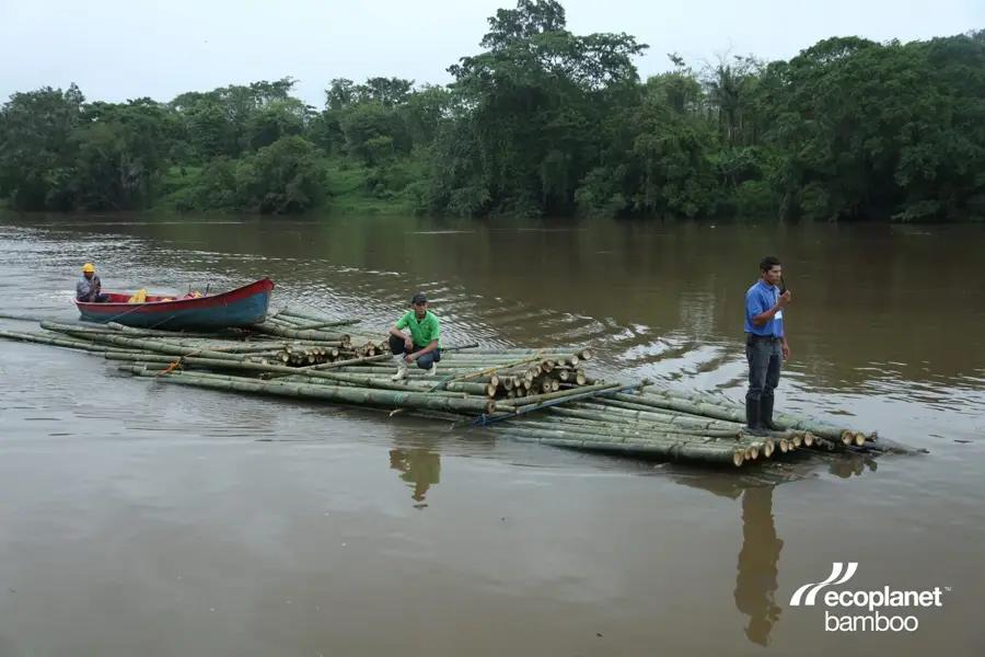
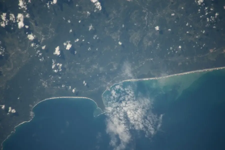
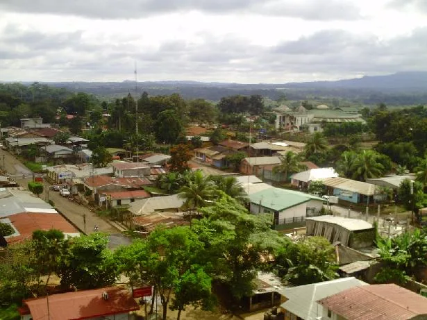
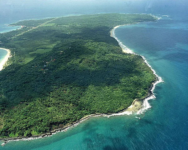
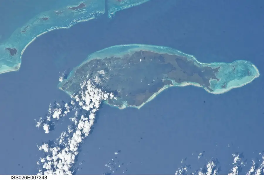
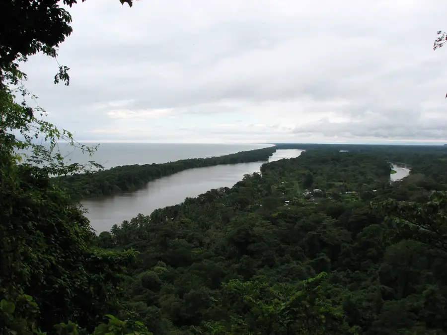
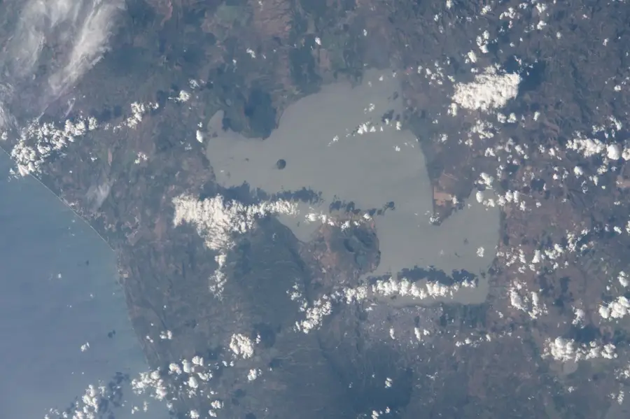
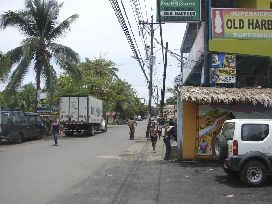
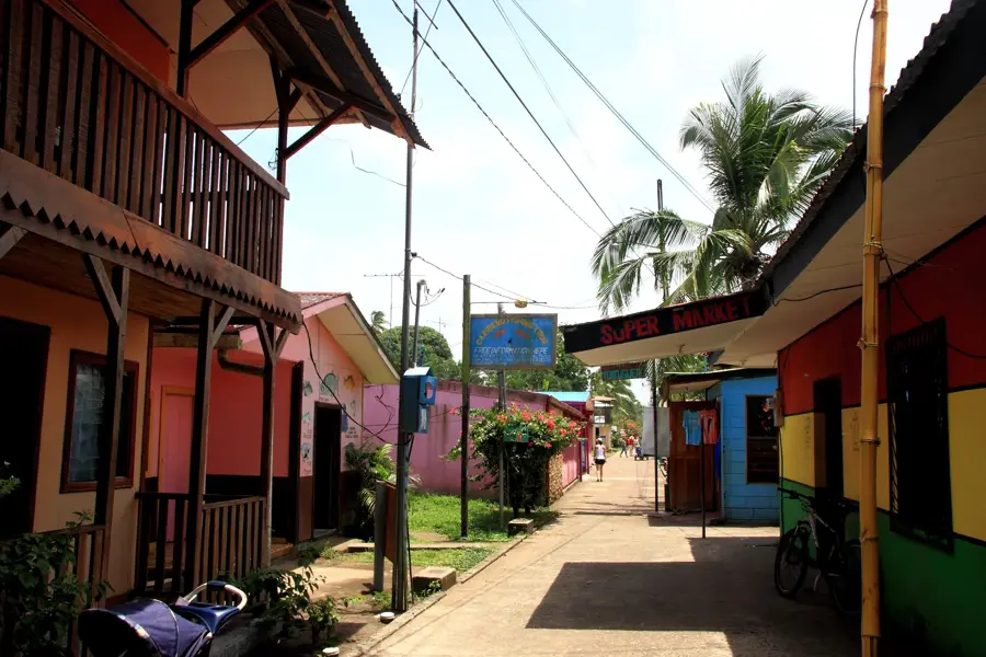
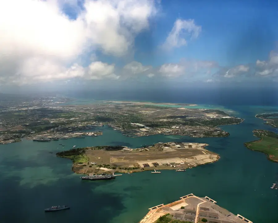
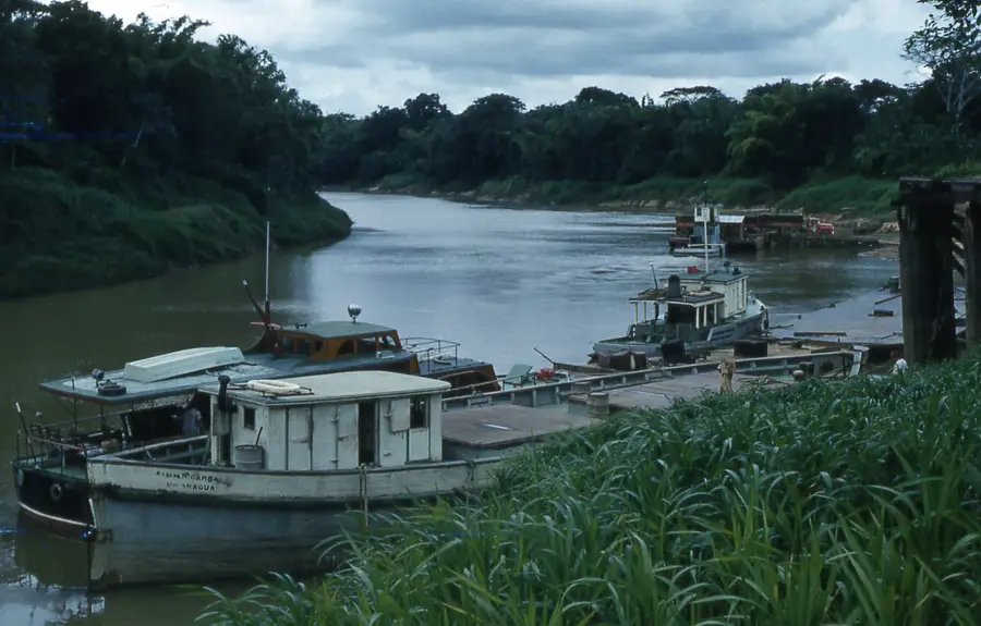
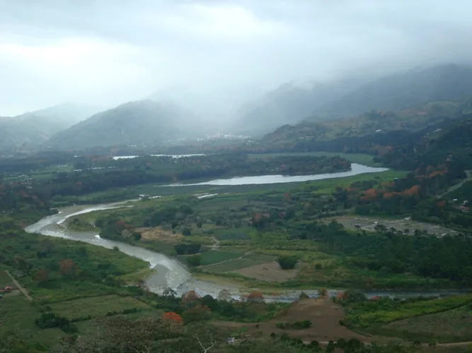
The Port of El Bluff is Nicaragua's primary maritime gateway to the Caribbean, located on a peninsula that shields the Bay of Bluefields. It serves as a critical logistical link for trade with the Caribbean basin, the United States, and Europe. Geographically, El Bluff is defined by its exposed position and the ongoing requirement for dredging to keep the navigation channel accessible for larger vessels. The port's economy is centered on the export of regional commodities such as seafood, timber, and agricultural goods from the Atlantic coast. For the city of Bluefields, El Bluff is of existential importance, as the vast majority of essential supplies arrive via this port. Historically, El Bluff played a strategic role in the development of Nicaragua's Caribbean coast and during various geopolitical conflicts. Port infrastructure includes terminals for cargo ships as well as facilities for the local fishing fleet. In recent years, plans to expand El Bluff into a full-scale deep-water port have been promoted to further the economic development of the entire region. The peninsula's residents form a community deeply integrated with the sea and port activities.
- Location: Nicaragua
- Top sights: Bluefields · Zelaya Department
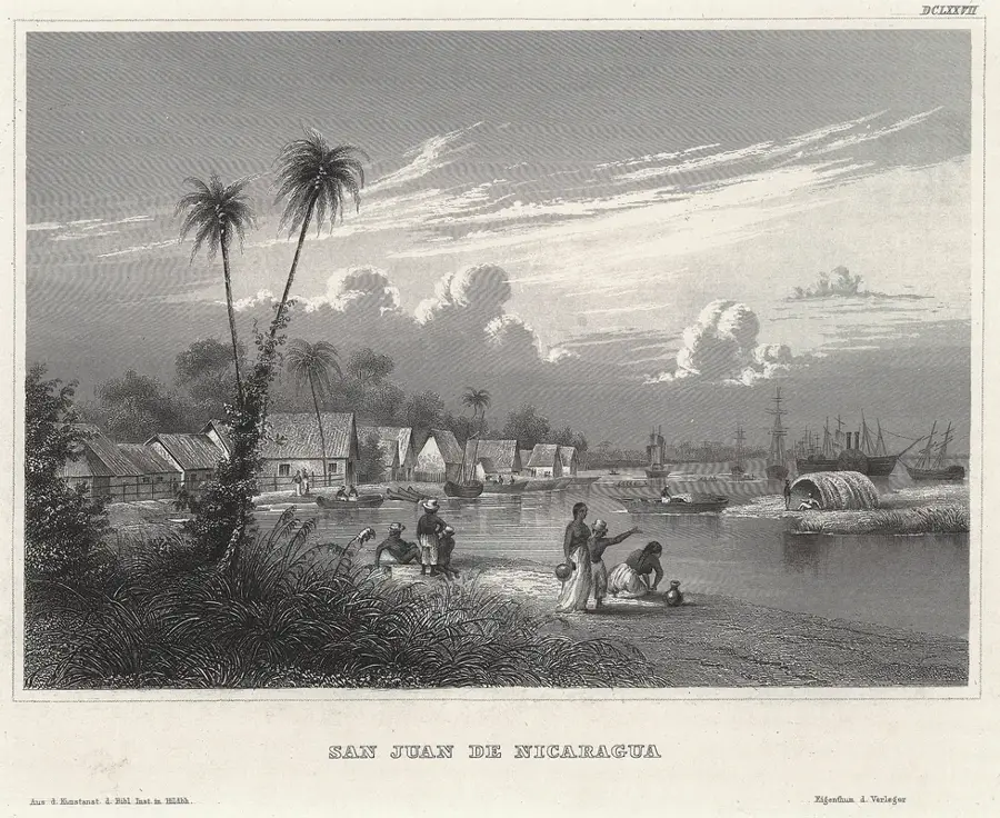
- Nearby: San Juan de Nicaragua (Greytown) (14 km)
Best time to visit & climate
The most pleasant time to visit is Jan–Mar.
| Jan | Feb | Mar | Apr | May | Jun | Jul | Aug | Sep | Oct | Nov | Dec | |
|---|---|---|---|---|---|---|---|---|---|---|---|---|
| Avg °C | 25 | 26 | 27 | 28 | 27 | 27 | 27 | 27 | 27 | 26 | 26 | 26 |
| Rain mm | 94 | 48 | 38 | 62 | 272 | 337 | 353 | 315 | 337 | 424 | 328 | 137 |
📋 Practical info
Geography
Facts
- El Bluff is the most important seaport on Nicaragua's Caribbean coast.
- The port is located approximately 8 kilometers south of the city of Bluefields.
- The peninsula acts as a natural breakwater for the Bay of Bluefields.
- Key exports include lobster, shrimp, and precious hardwoods.
- Regular ferry services connect El Bluff with the mainland.
- There are long-term plans to develop El Bluff into the first deep-water port on the Caribbean coast.
Explore nearby
Notable places around
Route planner — Car & Motorhome
Where do you start? We build the route here, with stops and country notes along the way.
© OpenStreetMap contributors · OpenRouteService
Sights in the town Port of El Bluff (2)
Sights nearby
Frequently asked questions
Where is Puerto El Bluff located?
What is the function of the port?
How do you get there?
Are there tourist facilities?
What is the climate like?
Port of El Bluff: where is it located?
Port of El Bluff: what is there to see?
Port of El Bluff: when is the best time to visit?
Port of El Bluff: why is it worth visiting?

Nearby cities
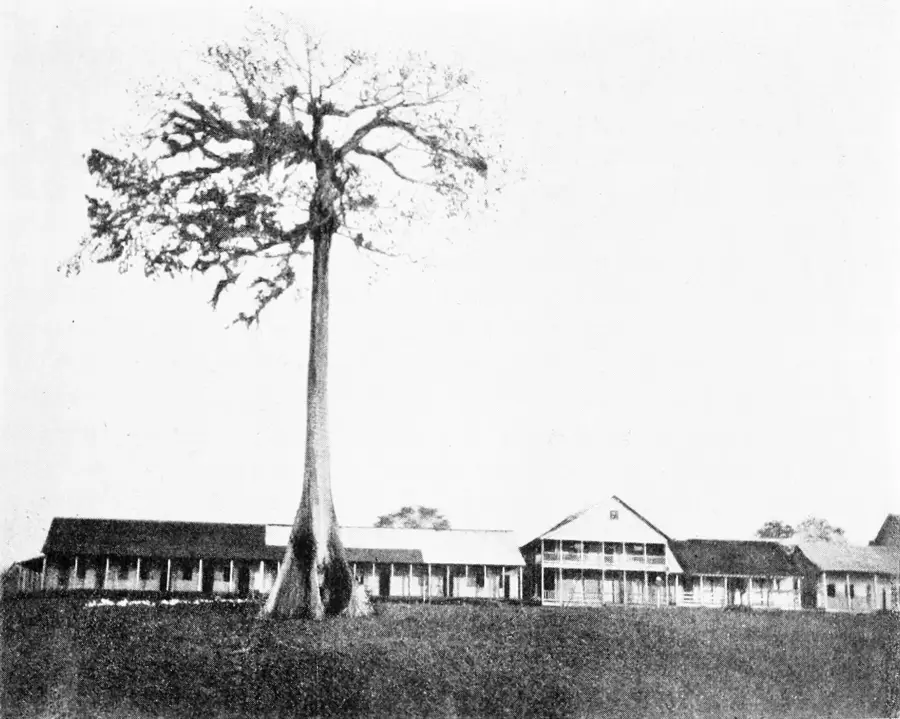


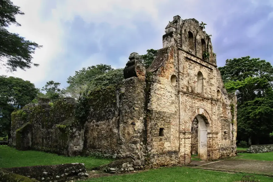
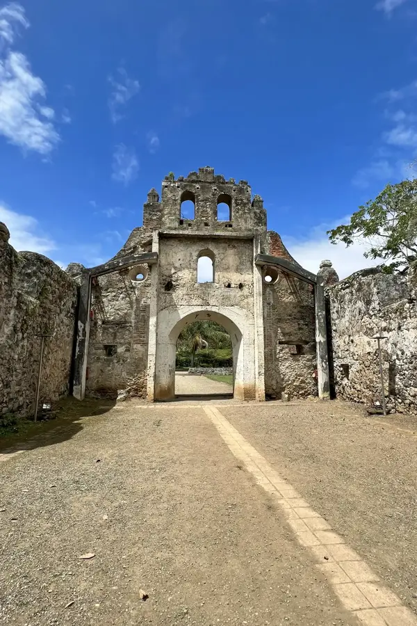
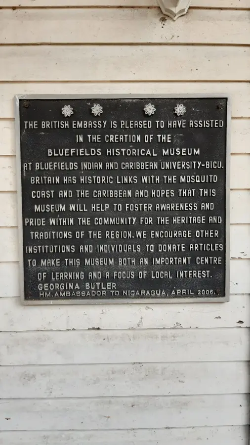
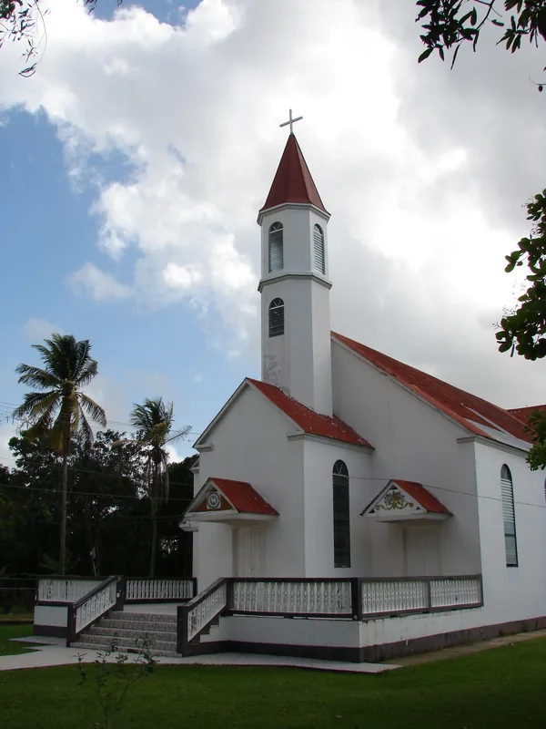
History & landmarks

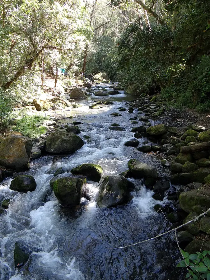
Nature

More places