Plizio Visual Lab
El Rama
ℹ️Practical info — El Rama
▾
🌤 Weather — 5 days
📍 Nearby
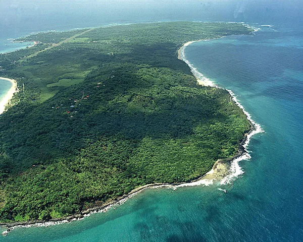
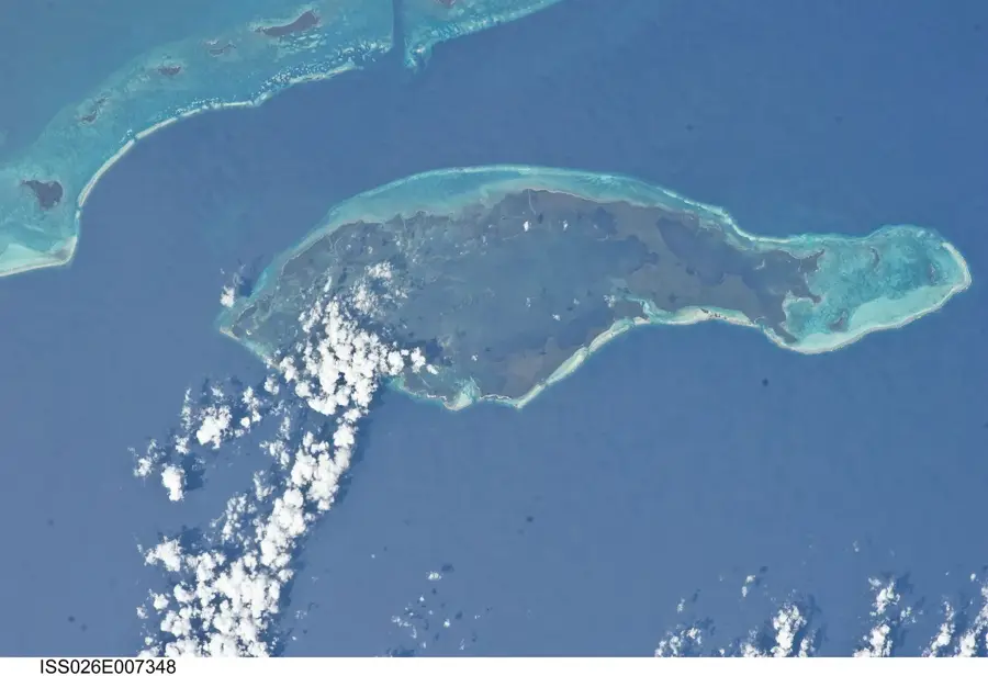
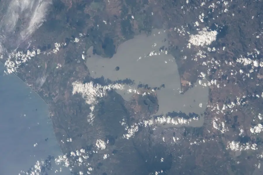
Sights nearby
💡 Tips
- Book your panga (fast boat) tickets to Bluefields early in the morning to secure a spot.
- Heavy tropical downpours are very common; always carry your electronics in a waterproof bag.
- Keep a close eye on your luggage in the bustling port and dock areas.
- The climate is extremely humid year-round; wear light, breathable clothing to stay comfortable.
🍽 Food
A Caribbean seafood stew made with coconut milk, available in local sodas (small eateries).
The traditional rice and beans dish, often featuring a hint of coconut on the Caribbean coast.
Crispy fried plantains served as a side dish to almost every meal.
🛍 Shopping · 🧘 Quiet spots
Small stalls near the port sell snacks and everything you might need for the river journey.
Fresh papayas and mangoes can be found at the local street market.
A little way from the main dock, you can peacefully watch the river flow.
A small central spot where locals gather away from the noise of the port.
Water temperature…
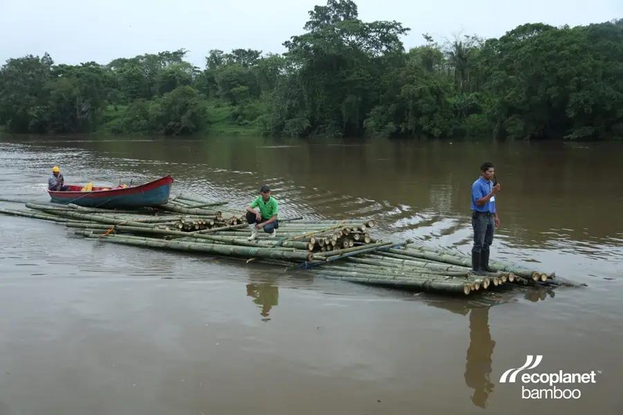
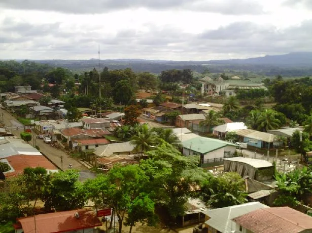
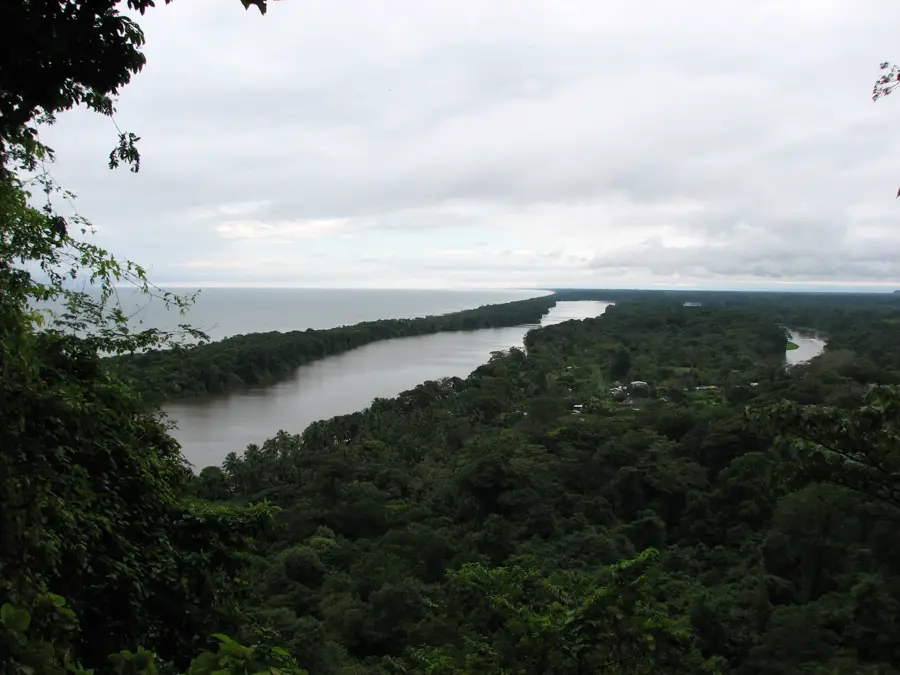
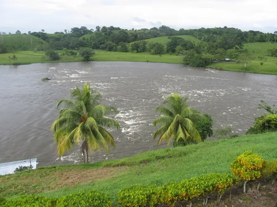
El Rama is a strategically important port city in the South Caribbean Coast Autonomous Region (RACCS), located at the confluence of the Rama, Siquia, and Mico rivers. These three rivers form the Escondido River, which provides a navigable connection to the Caribbean Sea at Bluefields. The city serves as a crucial logistical hub, marking the end of the paved highway from Managua and enabling the transit of goods between the Pacific and Atlantic regions. Historically, the area was inhabited by the indigenous Rama people, from whom the city takes its name, before gaining prominence in the 20th century through infrastructure expansion. The local economy is primarily based on port operations, trade, livestock farming, and forestry in the surrounding tropical region. Due to its low-lying position on the riverbank, the city is frequently affected by flooding during the rainy season. El Rama represents Nicaragua's cultural diversity, where influences from the central highlands meet the unique Caribbean coastal culture.
- Location: Nicaragua
- Nearby: La Cruz de Río Grande (12 km)
- Population: ~20.456 (2026)
Best time to visit & climate
The most pleasant time to visit is Jan–Mar.
| Jan | Feb | Mar | Apr | May | Jun | Jul | Aug | Sep | Oct | Nov | Dec | |
|---|---|---|---|---|---|---|---|---|---|---|---|---|
| Avg °C | 25 | 26 | 27 | 28 | 27 | 27 | 27 | 27 | 27 | 26 | 26 | 26 |
| Rain mm | 94 | 48 | 38 | 62 | 272 | 337 | 353 | 315 | 337 | 424 | 328 | 137 |
Geography
Facts
- El Rama is located at the confluence of the Rama, Siquia, and Mico rivers.
- The city serves as Nicaragua's most important river port on the Escondido River.
- The city's name is derived from the indigenous Rama people who lived there.
- El Rama is linked to Managua by a highway spanning 292 kilometers.
- The port is the primary transit point for goods destined for Bluefields.
- It is a key municipality in the South Caribbean Coast Autonomous Region (RACCS).
Explore nearby
Notable places around
Route planner — Car & Motorhome
Where do you start? We build the route here, with stops and country notes along the way.
© OpenStreetMap contributors · OpenRouteService
Frequently asked questions
What is El Rama?
Is it visited by tourists?
What is the weather?
Are there insects?
Are there banks?
El Rama: where is it located?
El Rama: when is the best time to visit?
El Rama: why is it worth visiting?

Nearby cities


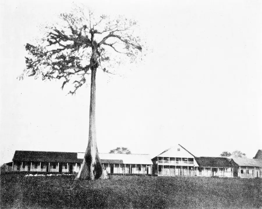
History & landmarks

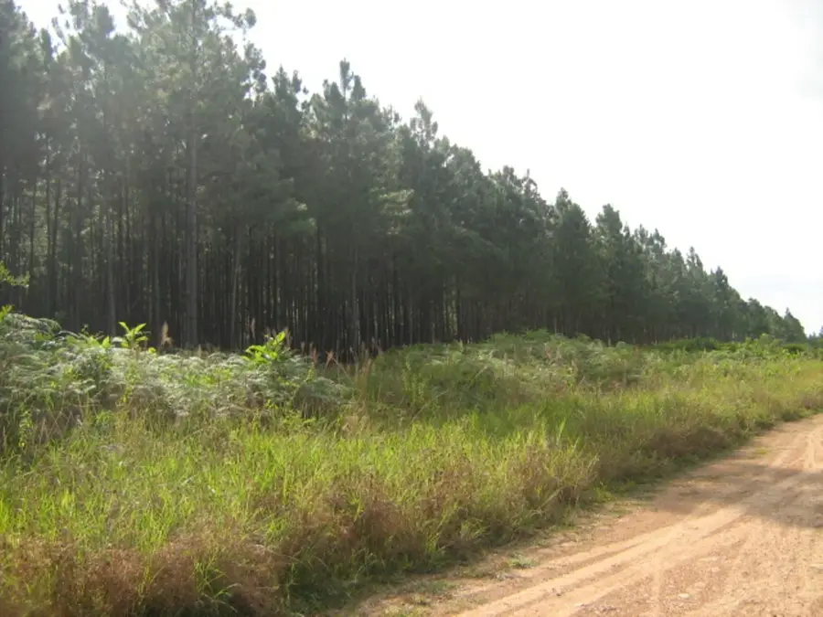
Nature

More places