Plizio Visual Lab
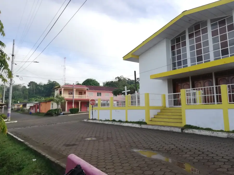
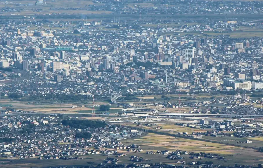
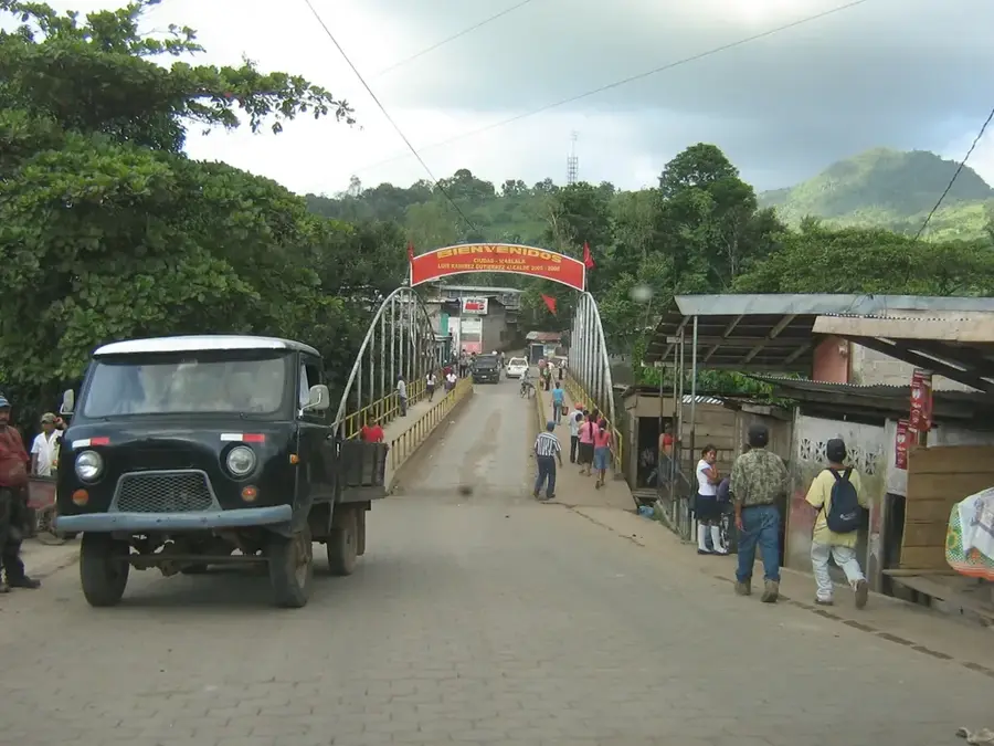
Chontaleña Mountain Range
Weather…
Water temperature…
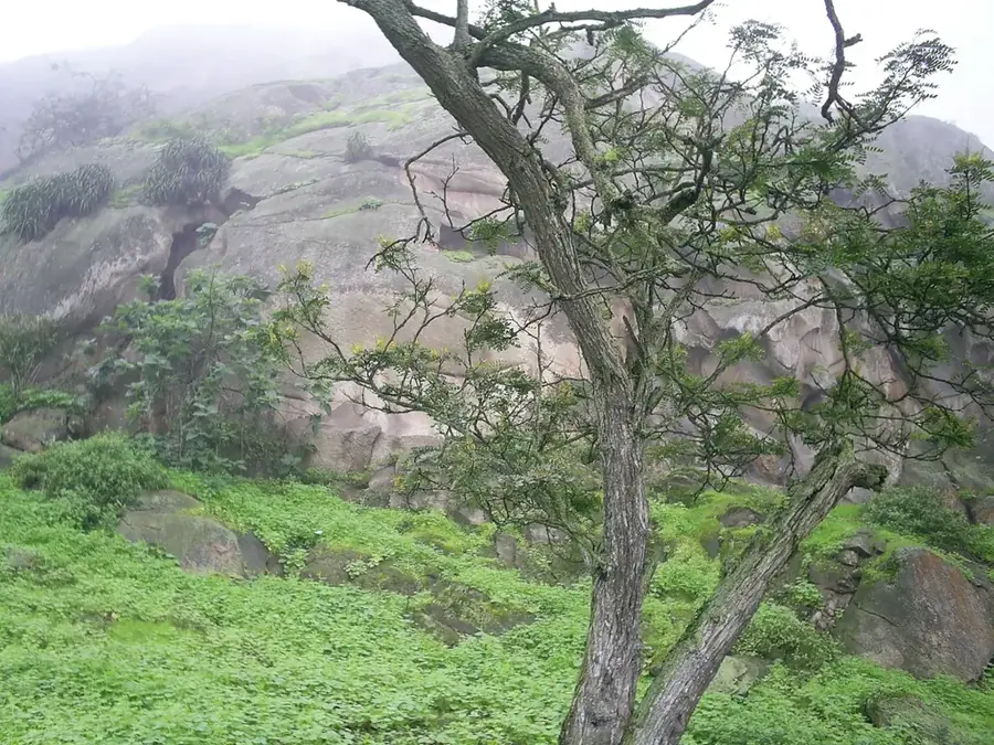
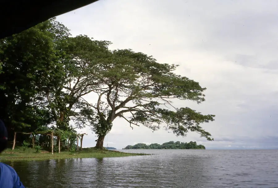
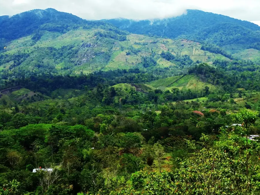
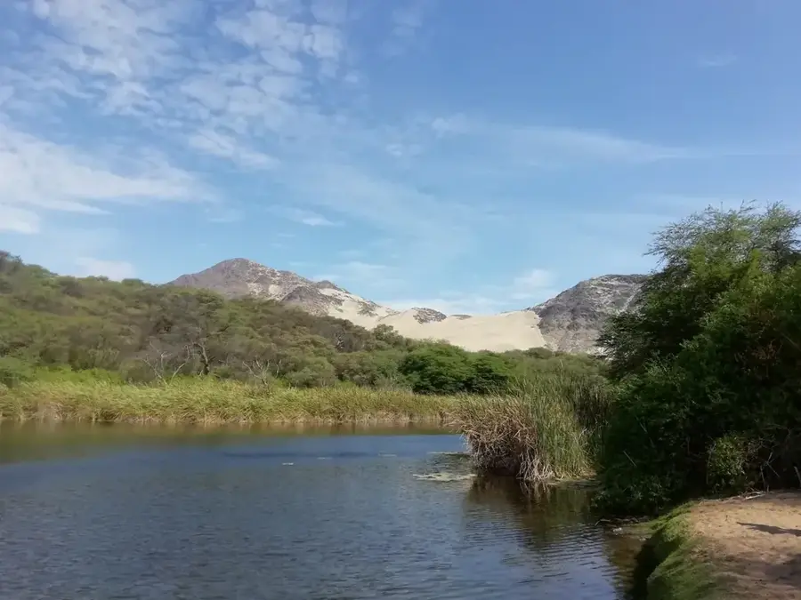
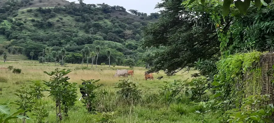
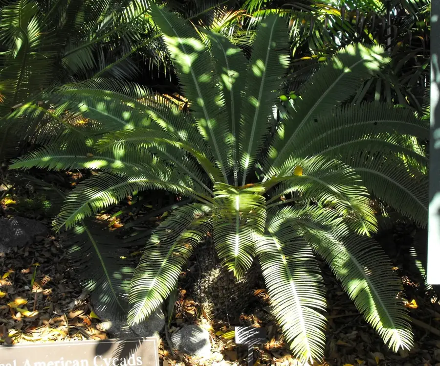
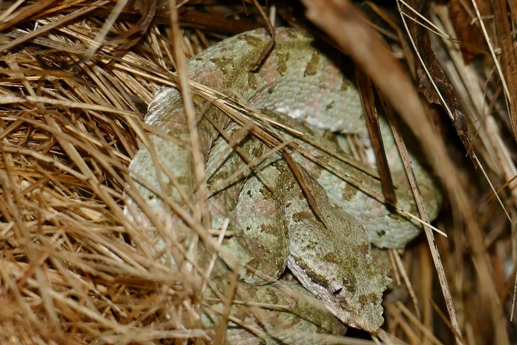
The Cordillera de Amerrisque, often referred to as the Chontaleña mountain range, is a central range in Nicaragua spanning the departments of Chontales and Boaco. This range forms a natural divide between the humid Caribbean lowlands and the drier Pacific regions. Geologically, it is composed of ancient volcanic rock that has been shaped by erosion over millions of years into distinctive peaks and plateaus. The region is historically significant for the Chontales culture, whose archaeological remains, such as petroglyphs and stone statues, have been discovered throughout the mountains. Today, the range is the heart of Nicaragua's cattle industry, with its fertile slopes primarily used for ranching. Vegetation varies from dry scrubland to remnant oak forests in the higher elevations. The Cordillera features spectacular vistas, including the Piedra de Cuapa, a massive rock formation that serves as a local landmark. Watersheds within these mountains feed important rivers that flow into Lake Nicaragua. Preserving the remaining forest patches is a priority for maintaining biodiversity in this intensively farmed agricultural zone.
- Location: Nicaragua
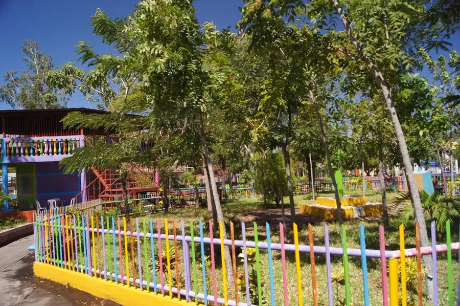
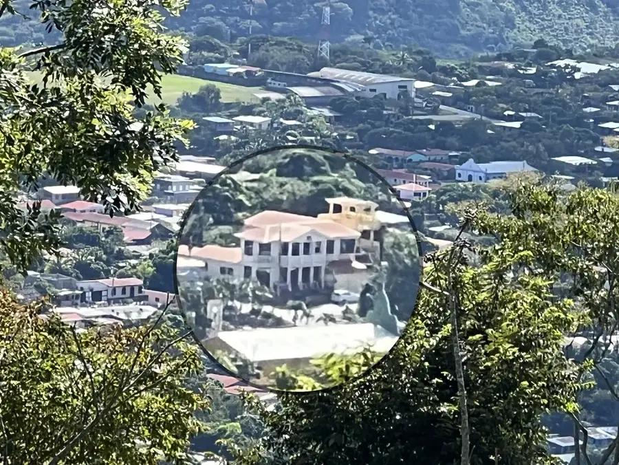
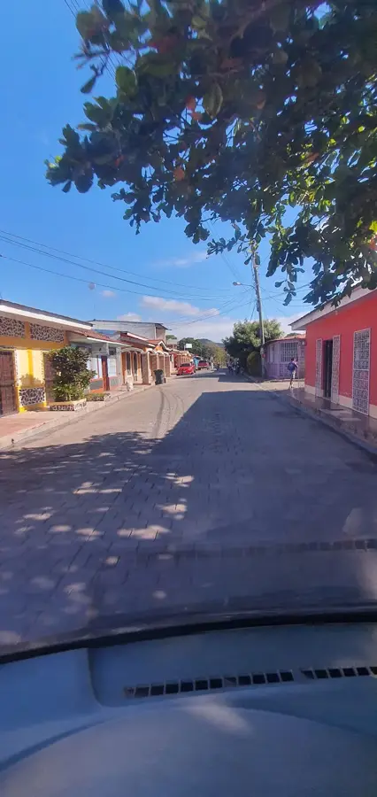
- Nearby: Santo Domingo (4 km)
Best time to visit & climate
The most pleasant time to visit is Jan, Feb, Dec.
| Jan | Feb | Mar | Apr | May | Jun | Jul | Aug | Sep | Oct | Nov | Dec | |
|---|---|---|---|---|---|---|---|---|---|---|---|---|
| Avg °C | 24 | 25 | 27 | 28 | 27 | 26 | 25 | 25 | 25 | 25 | 24 | 24 |
| Rain mm | 13 | 9 | 9 | 23 | 168 | 182 | 129 | 161 | 250 | 274 | 100 | 23 |
📋 Practical info
Geography
Facts
- The highest peaks reach approximately 1,100 meters above sea level.
- The name 'Amerrisque' is sometimes linked to the origin of the name 'America'.
- The mountain range extends for about 100 kilometers.
- Piedra de Cuapa is a notable monolith rising 150 meters above the ground.
- Over 2,000 petroglyphs have been cataloged in this region.
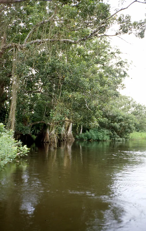
- The range serves as a vital watershed for Central Nicaragua.
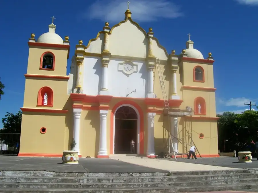
Explore nearby
Notable places around
Route planner — Car & Motorhome
Where do you start? We build the route here, with stops and country notes along the way.
© OpenStreetMap contributors · OpenRouteService
Sights nearby
Frequently asked questions
What activities are there here?
Is it a popular tourist region?
How do you reach the Cordillera?
How is the climate?
Are there accommodations nearby?
Chontaleña Mountain Range: where is it located?
Chontaleña Mountain Range: when is the best time to visit?
Chontaleña Mountain Range: why is it worth visiting?

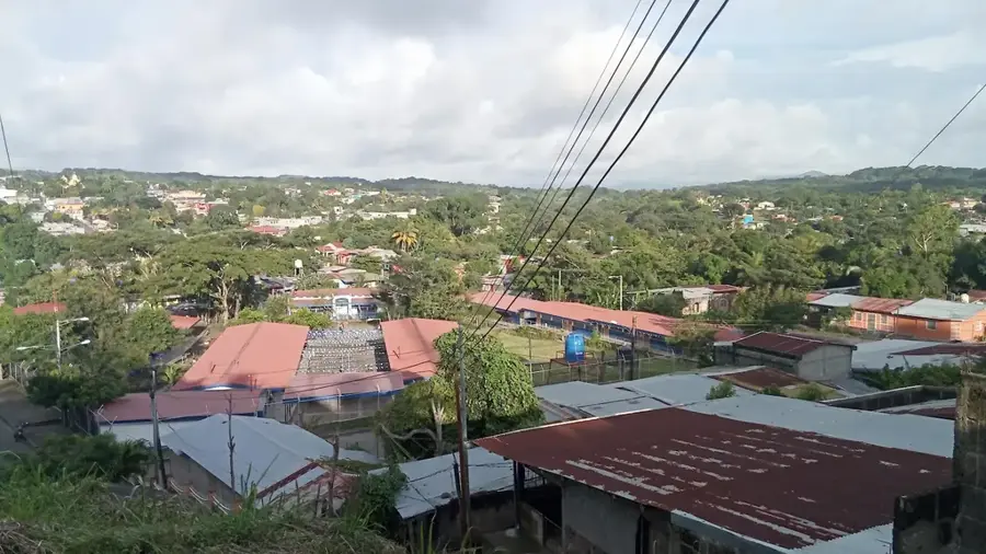
Nearby cities

History & landmarks
Nature

More places