Plizio Visual Lab
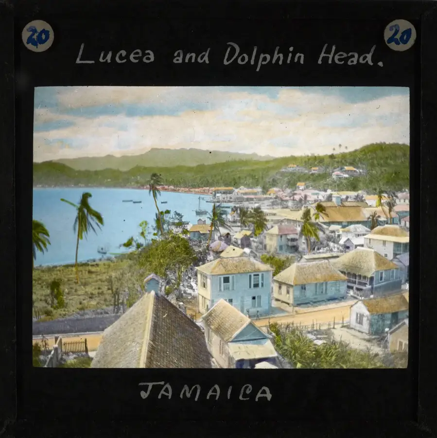
Hills of Hanover

Weather…
Water temperature…
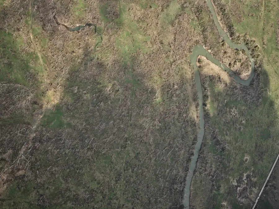
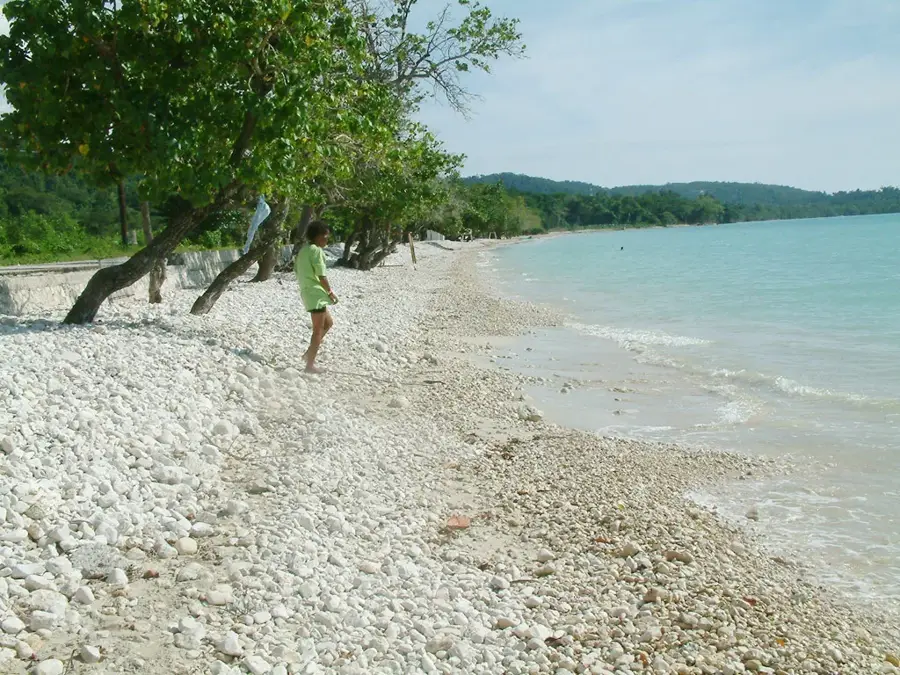
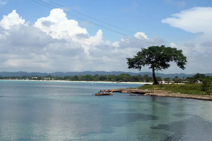
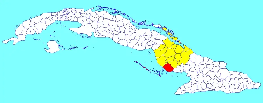
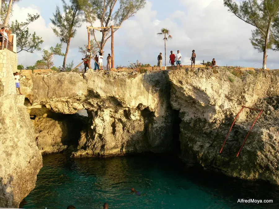
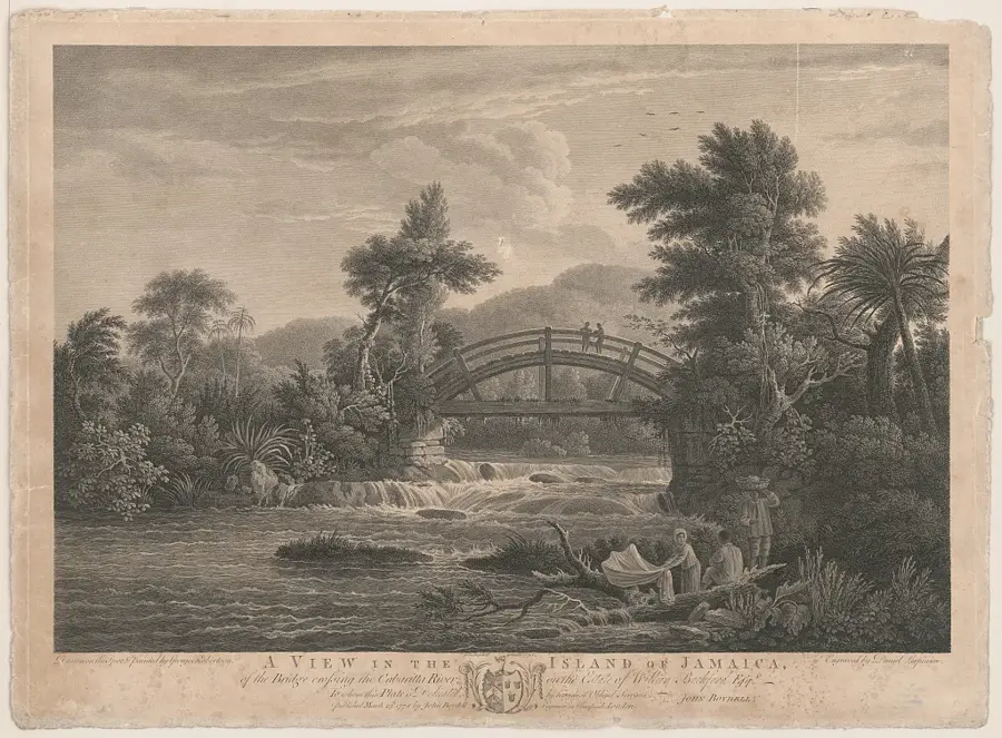
The Hills of Hanover represent a gently undulating landscape in the far northwestern corner of Jamaica, occupying the majority of Hanover Parish. These hills are distinguished by their moderate elevations and rounded summits, primarily composed of Tertiary white limestone. The terrain is characterized by a pastoral mosaic of cattle pastures, small-scale farming plots, and patches of secondary tropical forest. Historically, this region was a powerhouse for sugar production, and the hilltops were often chosen as sites for Great Houses and windmills to catch the prevailing trade winds. The climate here is moderated by its proximity to the Caribbean Sea, providing optimal conditions for growing crops such as yams, ginger, and various citrus fruits. Geologically, the hills exhibit karst features including shallow sinkholes and limestone caves, some of which hold archaeological significance. The most prominent peak in the range is Dolphin Head, a major landmark for mariners and a site of high floral endemism. Currently, the Hills of Hanover are becoming a popular destination for community-based tourism, offering a glimpse into traditional Jamaican rural life and sustainable agriculture.
- Location: Jamaica
- Top sights: Harvey River Formation · Mount Peace Formation · Cascade, Jamaica
- Nearby: Lucea (8 km)
Best time to visit & climate
The most pleasant time to visit is Jan, Feb, Dec.
| Jan | Feb | Mar | Apr | May | Jun | Jul | Aug | Sep | Oct | Nov | Dec | |
|---|---|---|---|---|---|---|---|---|---|---|---|---|
| Avg °C | 26 | 26 | 27 | 28 | 28 | 28 | 29 | 29 | 29 | 28 | 27 | 27 |
| Rain mm | 44 | 35 | 47 | 57 | 150 | 150 | 109 | 146 | 190 | 217 | 131 | 50 |
📋 Practical info
Geography
Facts
- Located in the northwestern parish of Hanover
- Composed of Tertiary white limestone layers
- Features the prominent landmark Dolphin Head
- Significant for historical sugar and rum production
- Famous for the cultivation of Lucea yams
- Exhibits moderate karst topography and sinkholes
Explore nearby
Notable places around
Route planner — Car & Motorhome
Where do you start? We build the route here, with stops and country notes along the way.
© OpenStreetMap contributors · OpenRouteService
Sights in the town Hills of Hanover (3)
Sights nearby
Frequently asked questions
Where are the Hills of Hanover located?
How high are these hills?
What can you do here?
Is the area used for agriculture?
When is the best time to visit?
Hills of Hanover: where is it located?
Hills of Hanover: what is there to see?
Hills of Hanover: when is the best time to visit?
Hills of Hanover: why is it worth visiting?

Nearby cities
History & landmarks


Nature


More places