Plizio Visual Lab
Montpelier Mountains
Weather…
Water temperature…
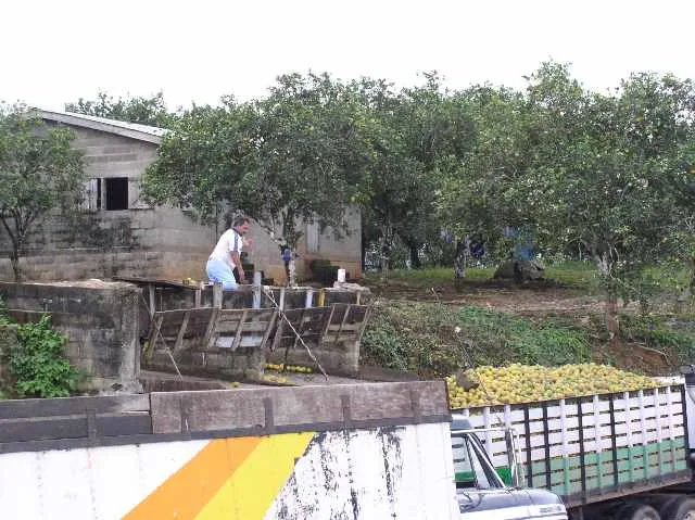
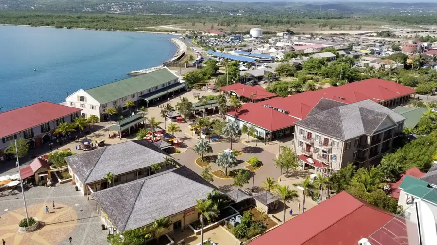
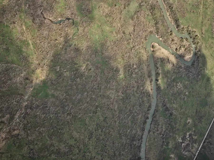
The Montpelier Mountains are situated in the parish of St. James, just south of Montego Bay, and represent a region of immense historical and geographical importance. The area is defined by rolling limestone hills and fertile valleys that were dominated by vast sugar estates for several centuries. Montpelier gained international prominence as a primary theater of the 1831 Christmas Rebellion, also known as the Baptist War, led by National Hero Samuel Sharpe. The remains of the old Montpelier sugar factory and archaeological sites of enslaved peoples' quarters are still visible today, marking Jamaica's arduous path toward emancipation. In contemporary times, the region has shifted its focus toward cattle ranching and citrus production. The hilly terrain provides an essential habitat for diverse native plant species and serves as a major site for heritage tourism, offering insight into the island's colonial past and social evolution.
- Location: Jamaica
- Nearby: Montego Bay (5 km)
Best time to visit & climate
The most pleasant time to visit is Jan, Feb, Dec.
| Jan | Feb | Mar | Apr | May | Jun | Jul | Aug | Sep | Oct | Nov | Dec | |
|---|---|---|---|---|---|---|---|---|---|---|---|---|
| Avg °C | 26 | 26 | 27 | 28 | 28 | 28 | 29 | 29 | 29 | 28 | 27 | 27 |
| Rain mm | 44 | 35 | 47 | 57 | 150 | 150 | 109 | 146 | 190 | 217 | 131 | 50 |
📋 Practical info
Geography
Facts
- The area was a major battleground during the Christmas Rebellion of 1831.
- It is located in St. James Parish, approximately 15 km from Montego Bay.
- The ruins of the Montpelier sugar works are significant historical landmarks.
- Samuel Sharpe utilized this strategic location during the 1831 uprising.
- The region is currently one of Jamaica's leading areas for cattle farming.
- The mountains are characterized by their white limestone geology.
Explore nearby
Notable places around
Route planner — Car & Motorhome
Where do you start? We build the route here, with stops and country notes along the way.
© OpenStreetMap contributors · OpenRouteService
Sights nearby
Frequently asked questions
What can you do in the Montpelier Mountains?
Are there guided tours available?
Is the terrain very steep?
Can you see rare animals there?
How do you reach the Montpelier Mountains?
Montpelier Mountains: where is it located?
Montpelier Mountains: when is the best time to visit?
Montpelier Mountains: why is it worth visiting?

History & landmarks
More places