Plizio Visual Lab
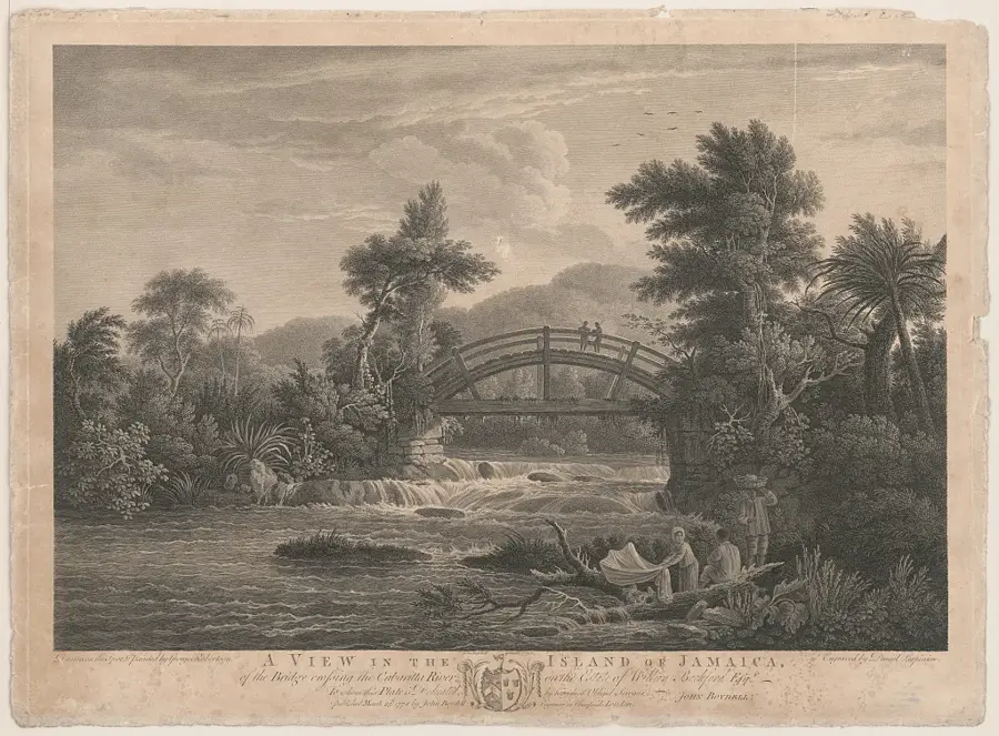
Cabarita River
Weather…
Water temperature…
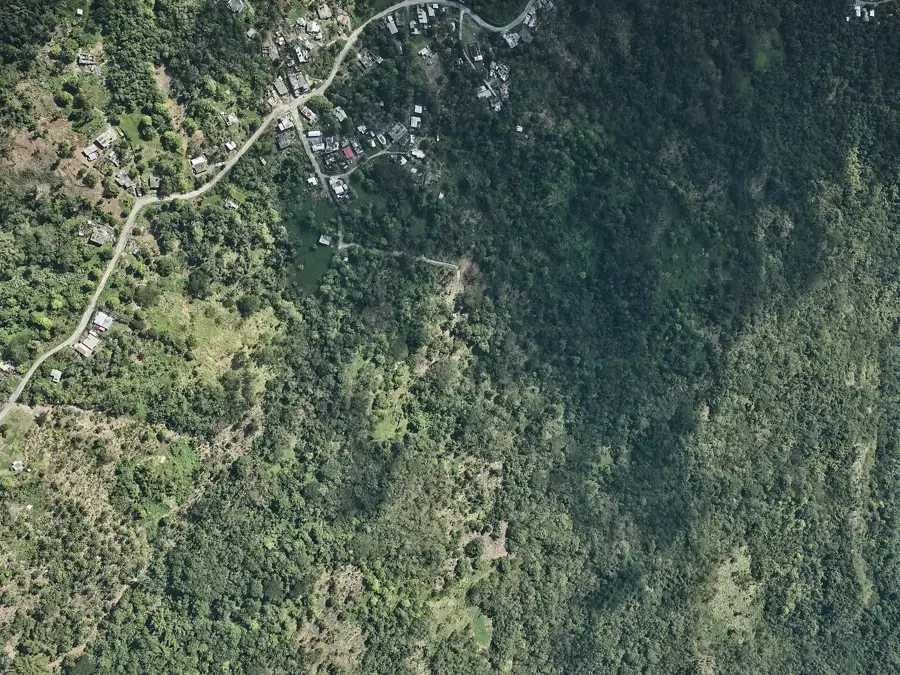
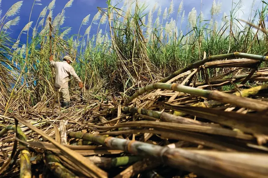
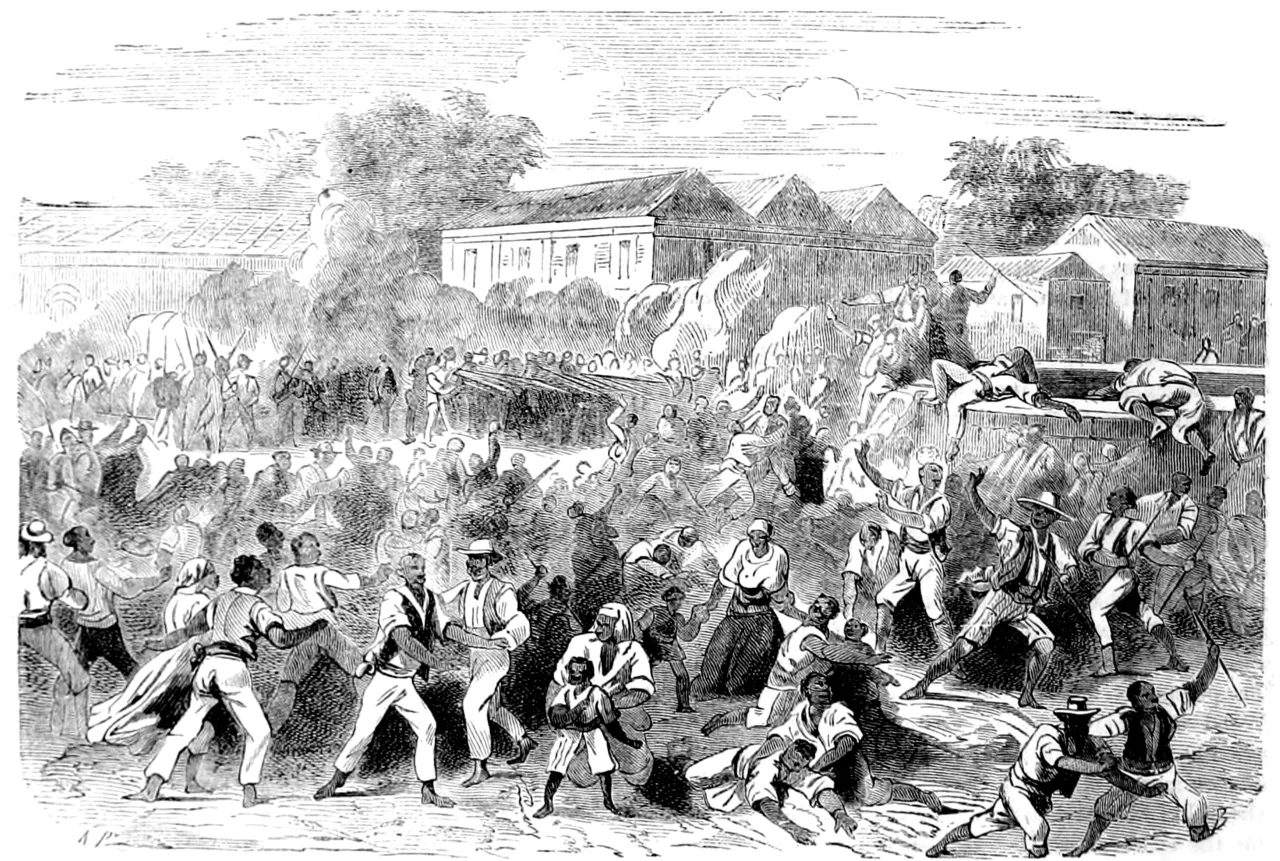
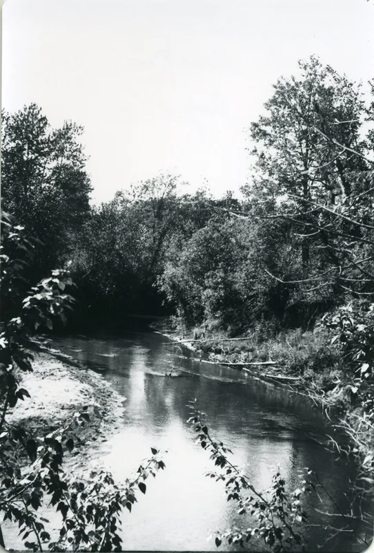
The Cabarita River is the most important waterway in the parish of Westmoreland, sustaining the fertile plains of southwestern Jamaica. Originating in the mountains, it winds slowly through vast sugarcane plantations before emptying into the sea near Savanna-la-Mar. Its banks are lined with lush tropical vegetation and mangrove forests that provide a rich habitat for local aquatic fauna. The river is not only a cornerstone for agricultural irrigation but also plays a vital role in local community life, with its banks being popular spots for relaxation and traditional river fishing. The estuary of the Cabarita is a complex wetland system crucial for the ecological balance of the western Jamaican coastline.
- Location: Jamaica
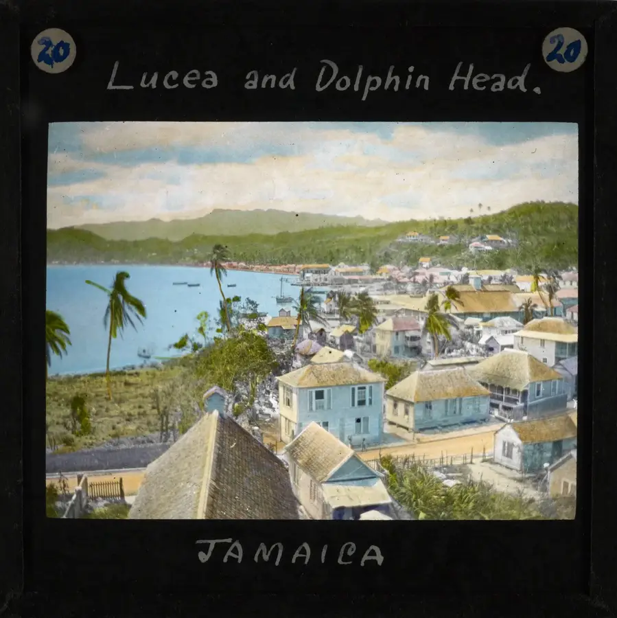
- Nearby: Lucea (6 km)
Best time to visit & climate
The most pleasant time to visit is Jan, Feb, Dec.
| Jan | Feb | Mar | Apr | May | Jun | Jul | Aug | Sep | Oct | Nov | Dec | |
|---|---|---|---|---|---|---|---|---|---|---|---|---|
| Avg °C | 26 | 26 | 27 | 28 | 28 | 28 | 29 | 29 | 29 | 28 | 27 | 27 |
| Rain mm | 44 | 35 | 47 | 57 | 150 | 150 | 109 | 146 | 190 | 217 | 131 | 50 |
📋 Practical info
Geography
Facts
- Stretches approximately 40 kilometers through the heart of Westmoreland.
- Provides essential irrigation for the parish's massive sugarcane estates.
- Features extensive mangrove swamps at its mouth, rich in diverse birdlife.
- Known for its abundance of freshwater life, particularly tilapia and river shrimp.
- Contains several historic waterworks and dams along its course.
- A popular destination for nature tours and birdwatching excursions.
- Experiences significant flooding during heavy rains, which reshapes the surrounding landscape.
- Acts as a primary determinant of water quality in the Savanna-la-Mar bay area.
Explore nearby
Notable places around
Route planner — Car & Motorhome
Where do you start? We build the route here, with stops and country notes along the way.
© OpenStreetMap contributors · OpenRouteService
Sights in the town Cabarita River (1)
Sights nearby
Frequently asked questions
Where does the Cabarita River originate?
Can you go canoeing on the Cabarita River?
Are there waterfalls on the Cabarita River?
Is the river known for crocodiles?
Are there picnic facilities there?
Cabarita River: where is it located?
Cabarita River: when is the best time to visit?
Cabarita River: why is it worth visiting?

Nearby cities
History & landmarks
Nature
More places