Plizio Visual Lab
Mallol Bridge
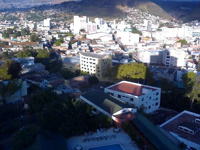
The Mallol Bridge (Puente Mallol) is the oldest and most historically significant bridge in Tegucigalpa, connecting the capital's historic center with the Comayagüela district across the Choluteca River. Its construction began in 1817 under the direction of the then-mayor Narciso Mallol and was not completed until after independence from Spain in 1821. The bridge consists of seven massive stone arches and was built using local limestone, which has provided it with exceptional stability and longevity over the centuries. For nearly two hundred years, it was the only permanent link between the two urban areas, playing a crucial role in regional trade and communication. A historic turning point occurred in 1998 when the bridge withstood the devastating floods of Hurricane Mitch, while many more modern structures were destroyed. This event solidified its status as a symbol of the city's resilience and cultural heritage. Today, the Mallol Bridge is largely closed to vehicle traffic and serves as a pedestrian bridge, allowing people to experience the city's architectural beauty and history firsthand.
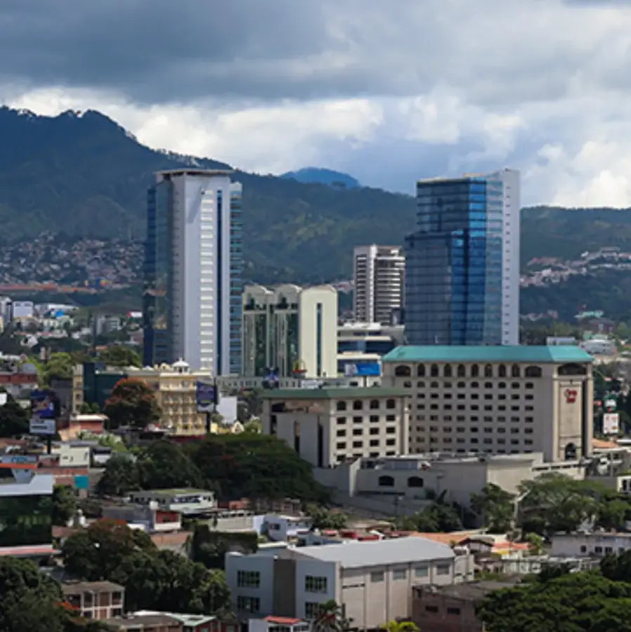
- Location: Honduras
- Top sights: Francisco Morazán Department · Escuela Nacional de Bellas Artes (Nicaragua) · National Congress of Honduras
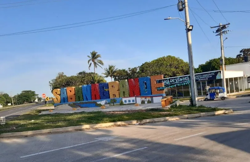
- Nearby: Sabanagrande (5 km)
Best time to visit & climate
The most pleasant time to visit is Jan, Feb, Dec.
| Jan | Feb | Mar | Apr | May | Jun | Jul | Aug | Sep | Oct | Nov | Dec | |
|---|---|---|---|---|---|---|---|---|---|---|---|---|
| Avg °C | 21 | 23 | 24 | 26 | 25 | 23 | 23 | 23 | 23 | 22 | 21 | 21 |
| Rain mm | 12 | 11 | 12 | 40 | 161 | 197 | 106 | 128 | 190 | 179 | 48 | 38 |
📋 Practical info
Geography
Facts
- Construction started in 1817 by Mayor Narciso Mallol.
- Completed in 1821, coinciding with Central American independence.
- Comprised of seven masonry arches built from local limestone.
- Withstood the record-breaking flood levels of Hurricane Mitch in 1998.
- Historically the primary link across the Choluteca River.
- Currently functions as a pedestrian landmark in the historic center.
Explore nearby
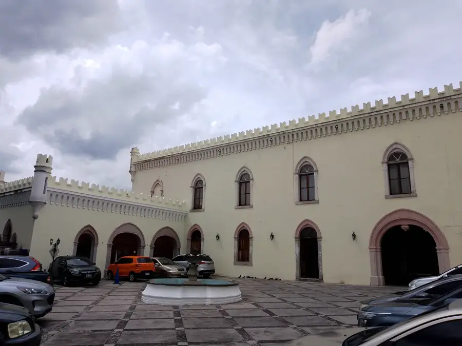
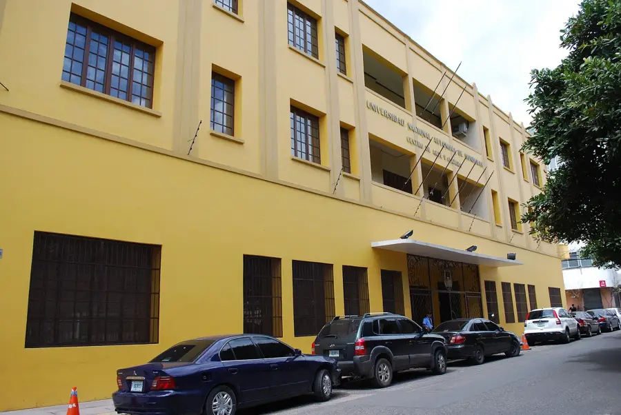
Notable places around
Route planner — Car & Motorhome
Where do you start? We build the route here, with stops and country notes along the way.
© OpenStreetMap contributors · OpenRouteService
Sights in the town Mallol Bridge (3)
Sights nearby
Frequently asked questions
What is the significance of the Mallol Bridge?
When was it built?
Can you cross the bridge on foot?
Did the bridge survive Hurricane Mitch?
Is there parking nearby?
Mallol Bridge: where is it located?
Mallol Bridge: what is there to see?
Mallol Bridge: when is the best time to visit?
Mallol Bridge: why is it worth visiting?

Nearby cities

History & landmarks
More places