Plizio Visual Lab
Blies
Weather…
Water temperature…
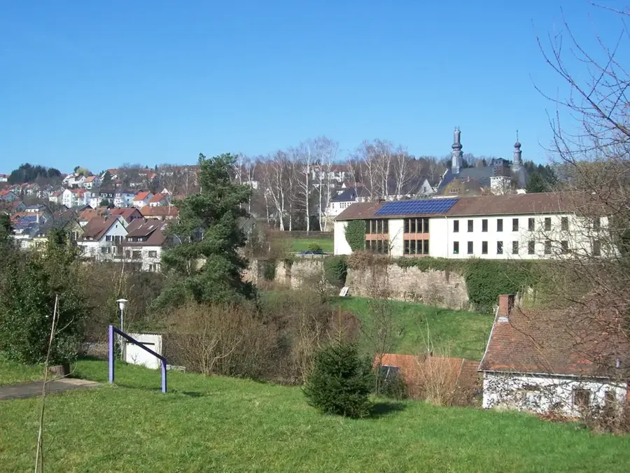
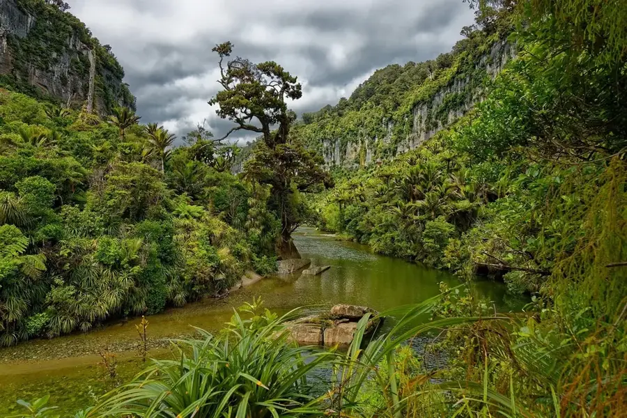
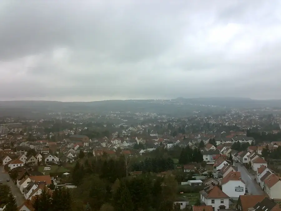
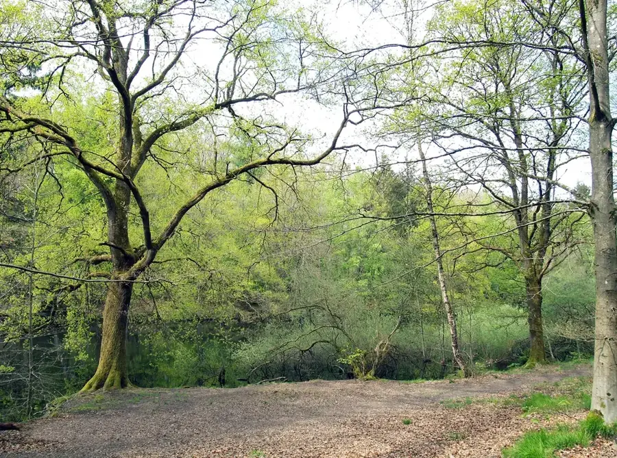
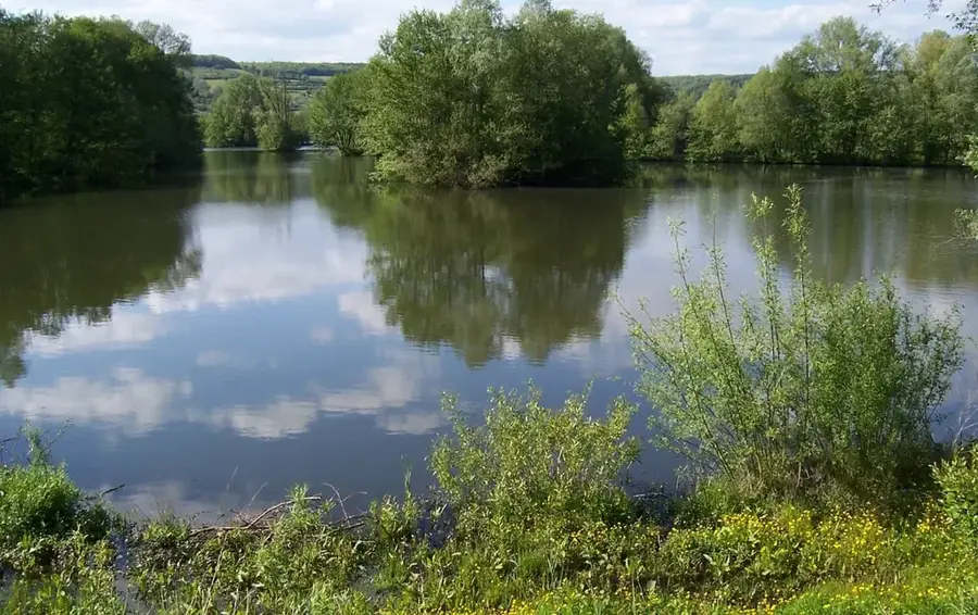
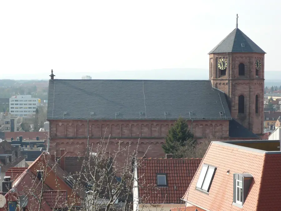
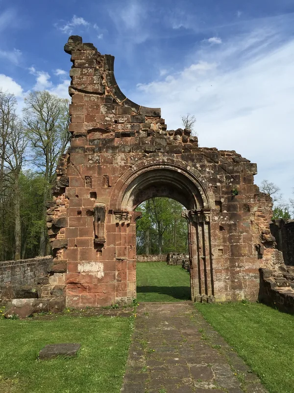
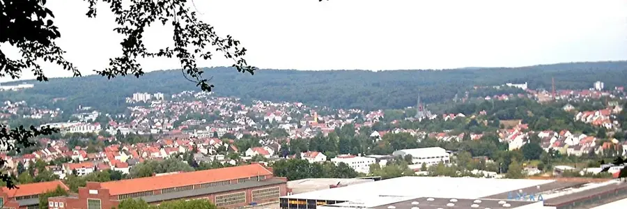
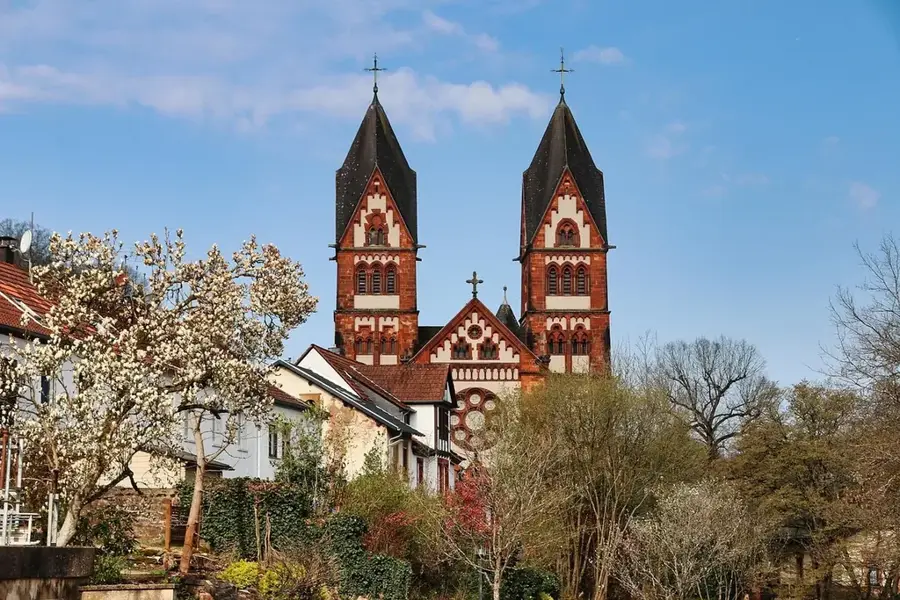
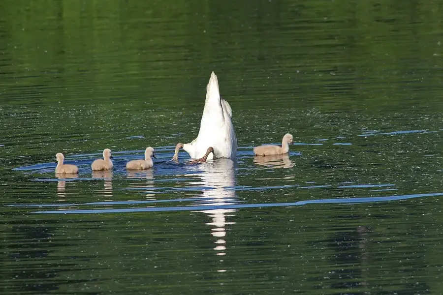
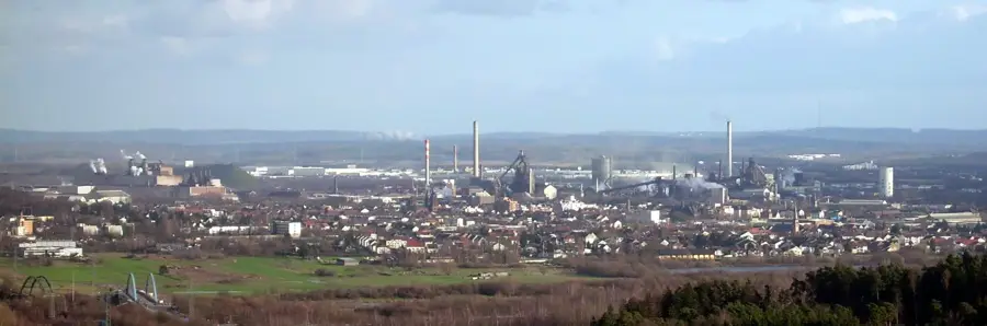
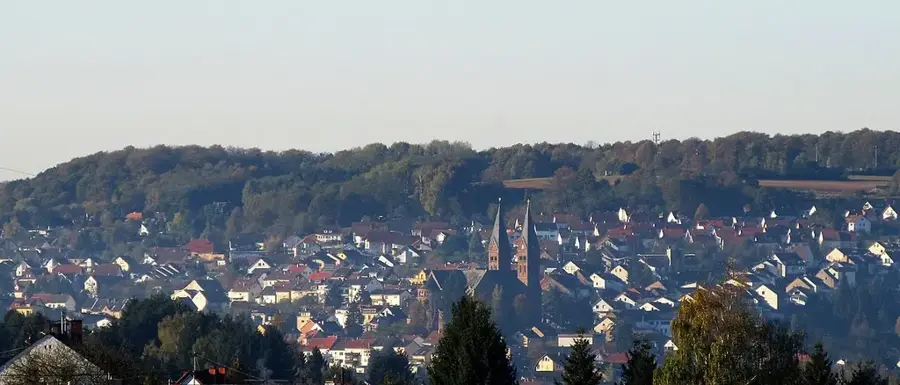
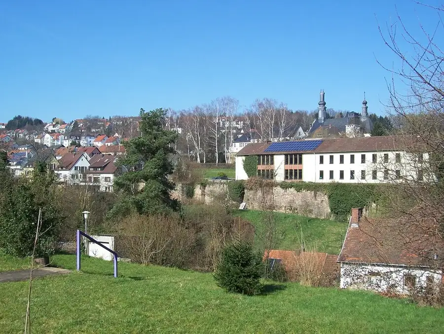
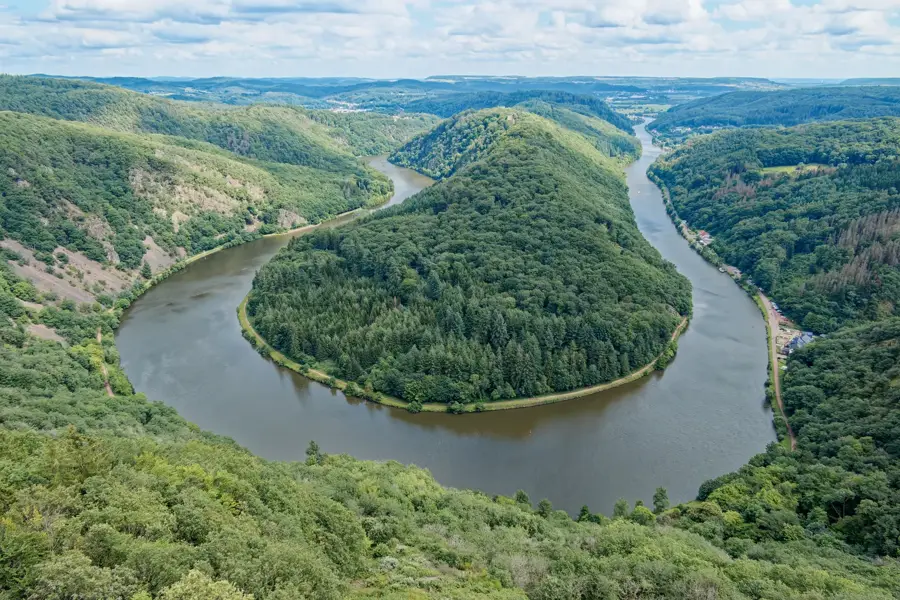
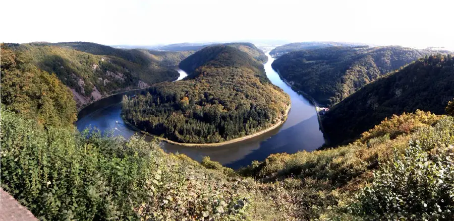
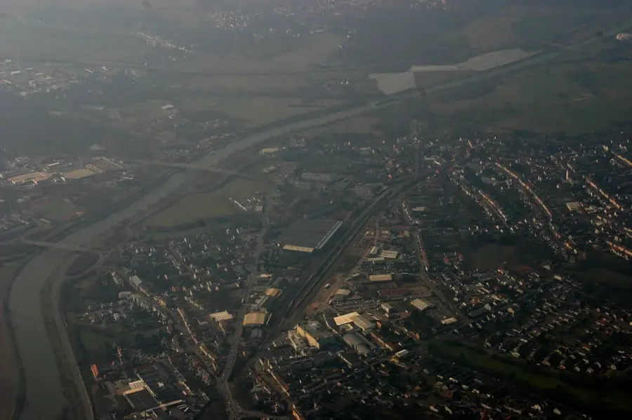
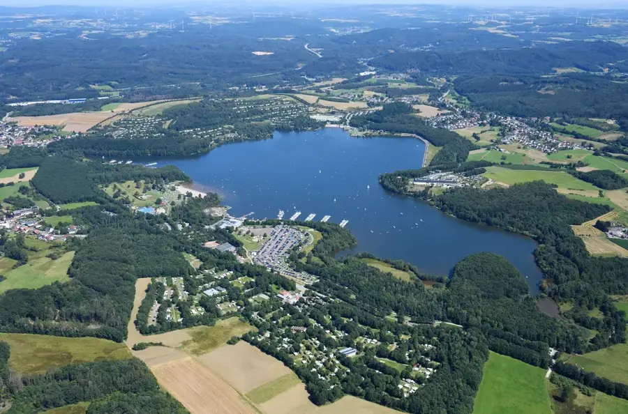
The Blies is the most significant tributary of the Saar in terms of water volume, flowing through southeastern Saarland and parts of Lorraine. Over a total length of about 99 kilometers, it traverses the UNESCO Bliesgau Biosphere Reserve, renowned for its extraordinary biodiversity and gentle rolling landscape. The Blies originates in northern Saarland near Selbach and finally flows into the Saar at Sarreguemines. Ecologically, the river's course is of central importance, as the preserved floodplains offer valuable sanctuaries for endangered animal species such as the kingfisher and the black stork. Historically, the water power of the Blies was intensively utilized for milling and later for the burgeoning industries. Today, the river is a popular destination for nature tourists, paddlers, and cyclists using the Glan-Blies cycle path. Along its banks lie historically significant places like Neunkirchen, Homburg, and Blieskastel, which are closely connected to the river's path. The Blies is thus a defining element for nature and culture in the Saarpfalz region.
- Location: Saarland, Germany
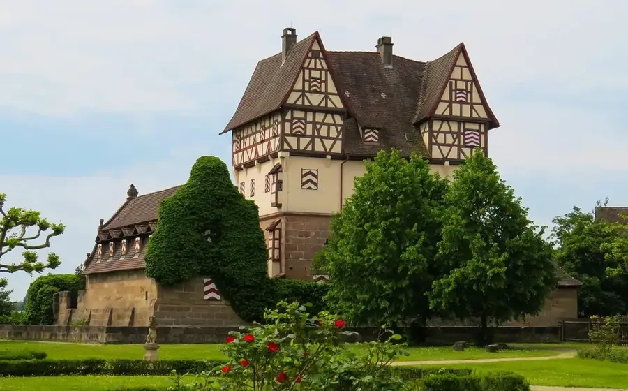
- Top sights: Feldkalköfen · Allmendwald · Sankt Mauritius
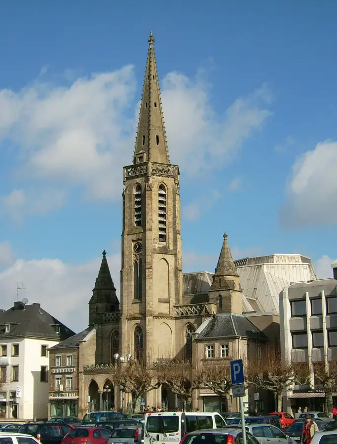
- Nearby: Blieskastel (8 km)
Best time to visit & climate
The most pleasant time to visit is Jun–Aug.
| Jan | Feb | Mar | Apr | May | Jun | Jul | Aug | Sep | Oct | Nov | Dec | |
|---|---|---|---|---|---|---|---|---|---|---|---|---|
| Avg °C | 1 | 1 | 5 | 9 | 13 | 18 | 20 | 19 | 15 | 10 | 5 | 2 |
| Rain mm | 65 | 54 | 57 | 45 | 73 | 66 | 65 | 71 | 55 | 66 | 66 | 79 |
📋 Practical info
Geography
Facts
- Total length of around 99 kilometers to the Saar confluence
- Central river course through the UNESCO Bliesgau Biosphere Reserve
- Confluence with the Saar at the town of Sarreguemines in France
- Habitat for rare bird species such as kingfishers and black storks
- Important energy source for historic mills and industrial sites
- Route of the popular Glan-Blies cycle path along the river valley
Explore nearby
Notable places around
Route planner — Car & Motorhome
Where do you start? We build the route here, with stops and country notes along the way.
© OpenStreetMap contributors · OpenRouteService
Sights in the town Blies (9)
Römerturm
Observation tower in the Bliesgau, recalls the Roman history of the area.
Kreuzkirche Ormesheim
Protestant church in Ormesheim, Saarland.
Parcours Start
Starting point of a trail or course in the landscape.
Parcours Station 1
First station of a course, marks the beginning of the route.
Hölschberg
Hill in Germany, part of the Bliesgau landscape.
Sights nearby
Frequently asked questions
Where does the Blies river originate?
Can you go canoeing on the Blies?
Which cycle path runs along the river?
What is the UNESCO Bliesgau Biosphere Reserve?
Are there sights directly on the riverbank?
Blies: where is it located?
Blies: what is there to see?
Blies: when is the best time to visit?
Blies: why is it worth visiting?

Nearby cities


History & landmarks

Nature

More places