Plizio Visual Lab
Hohe Warte

Weather…
Water temperature…
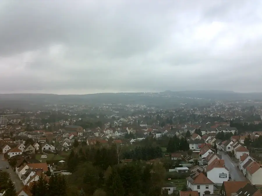
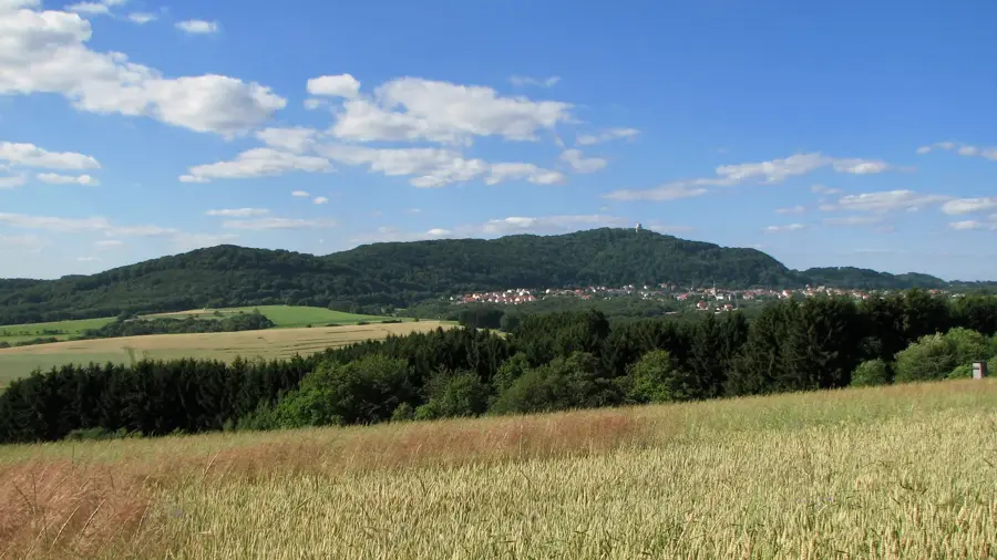
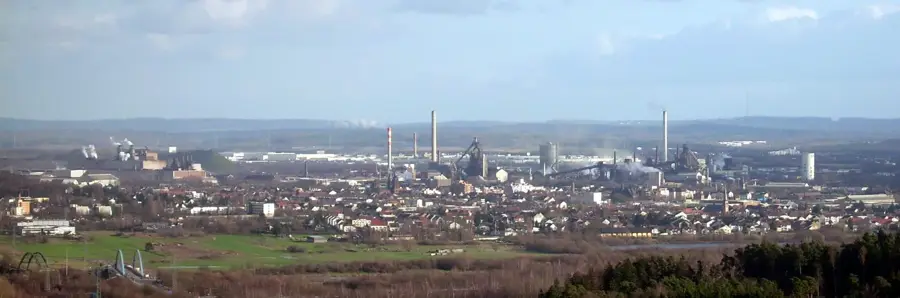
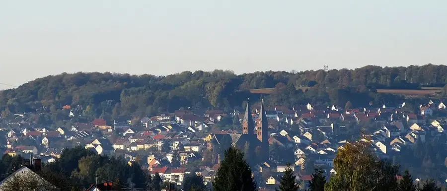
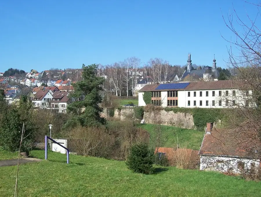
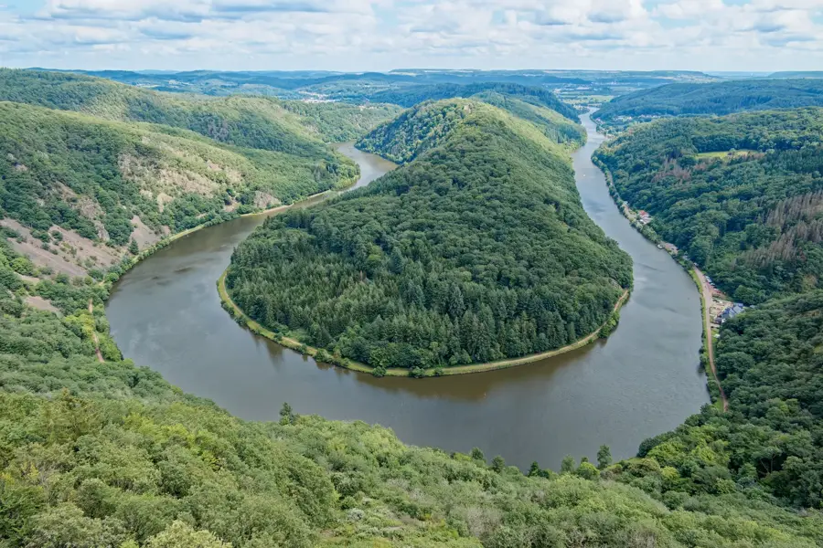
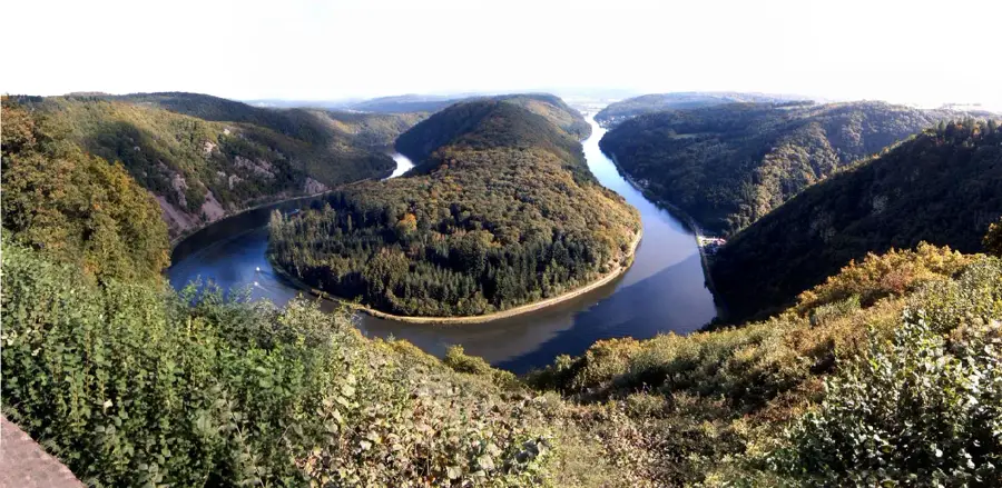
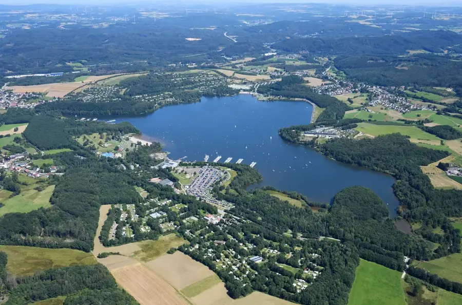
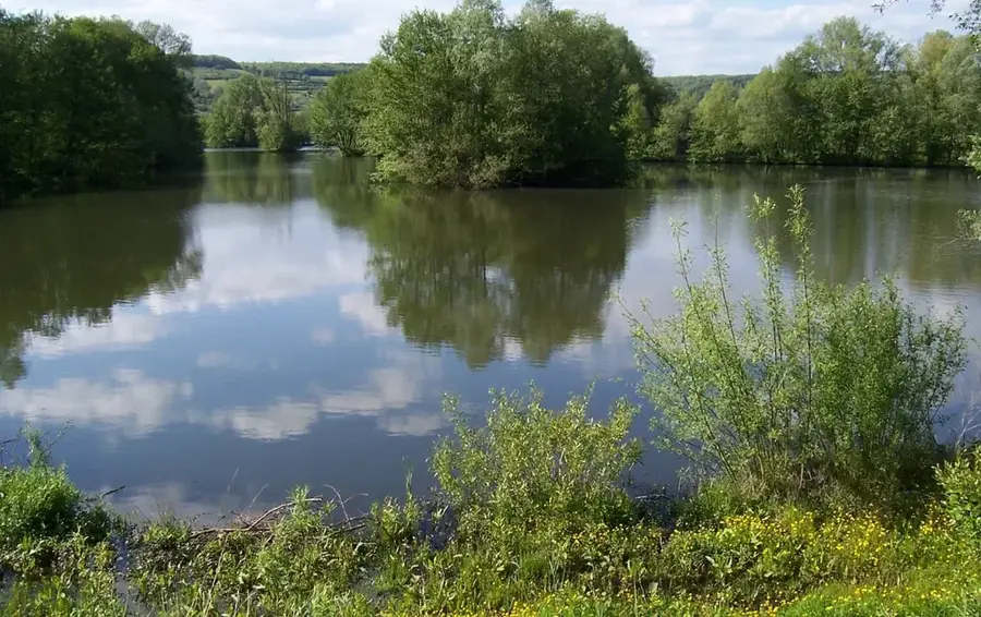
The Hohe Warte near Kirkel is a prominent hill in the Saarpfalz district and a valued destination for hikers within the UNESCO Bliesgau Biosphere Reserve. Standing at an elevation of approximately 338 meters, the summit area provides extensive views over the region's dense mixed forests and surrounding valleys. Geologically, the hill is characterized by the typical bunter sandstone that defines much of the land surface in southeastern Saarland. Nearby historical attractions include the ruins of Kirkel Castle, which bear witness to the medieval significance of this strategic elevated position. The Hohe Warte is accessible through a well-marked network of hiking trails, renowned for their scenic diversity and the tranquility found away from urban centers. Ecologically, the area is an important sanctuary for local wildlife and features a rich flora on the sparse sandstone soils. For the local population, the hill serves as a vital recreation area, providing opportunities for active leisure in pristine nature during all seasons.
- Location: Saarland, Germany
- Top sights: Landschaftsschutzgebiet Grießbach · Vierbannstein · Alter Steinbruch
- Nearby: Ottweiler (7 km)
Best time to visit & climate
The most pleasant time to visit is Jun–Aug.
| Jan | Feb | Mar | Apr | May | Jun | Jul | Aug | Sep | Oct | Nov | Dec | |
|---|---|---|---|---|---|---|---|---|---|---|---|---|
| Avg °C | 0 | 1 | 4 | 9 | 13 | 17 | 19 | 18 | 14 | 9 | 5 | 1 |
| Rain mm | 74 | 61 | 62 | 47 | 75 | 69 | 69 | 75 | 57 | 68 | 73 | 89 |
📋 Practical info
Geography
Facts
- Maximum elevation of approximately 338 meters above sea level
- Geographical location within the UNESCO Bliesgau Biosphere Reserve
- Subsoil consists predominantly of bunter sandstone formations
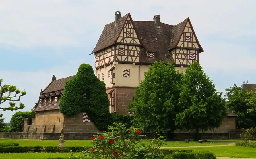
- Proximity to the historic 11th-century Kirkel Castle ruins
- Part of the biosphere hiking trail network in the Saarpfalz district
- Important ecological stepping stone for local flora and fauna
Explore nearby
Notable places around
Route planner — Car & Motorhome
Where do you start? We build the route here, with stops and country notes along the way.
© OpenStreetMap contributors · OpenRouteService
Sights in the town Hohe Warte (10)
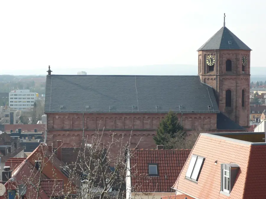
Sankt Marien
Church building in Oberlinxweiler, serves the Catholic community for worship.
Evangelische Kirche
Church in Remmesweiler, part of St. Wendel, used by the Protestant congregation.
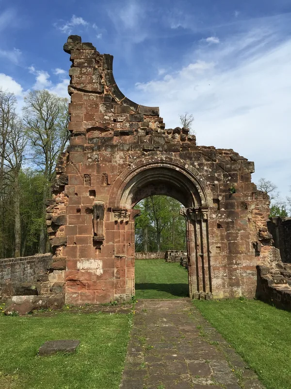
Mittelalterliche Burgstelle
Site of a medieval castle, now only earthworks remain in the landscape.
Spiemont
Mountain in Germany, features views over the forests of Saarland.
St.Annenkapelle
Chapel in St. Wendel, dedicated to Saint Anne.
Messdiener Winterbach
Meeting and event venue for the altar server group from Winterbach.
Sights nearby
Frequently asked questions
Where is the Hohe Warte located in Saarland?
Is there an observation tower?
How difficult is the climb?
What else can you visit nearby?
Do you have to pay to enter the tower?
Hohe Warte: where is it located?
Hohe Warte: what is there to see?
Hohe Warte: when is the best time to visit?
Hohe Warte: why is it worth visiting?

Nearby cities


History & landmarks

Nature

More places