Plizio Visual Lab
Warndt
Weather…
Water temperature…
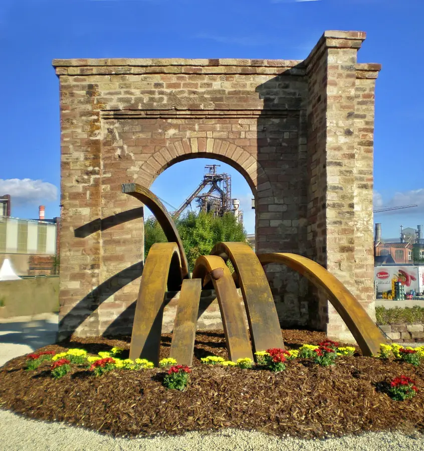
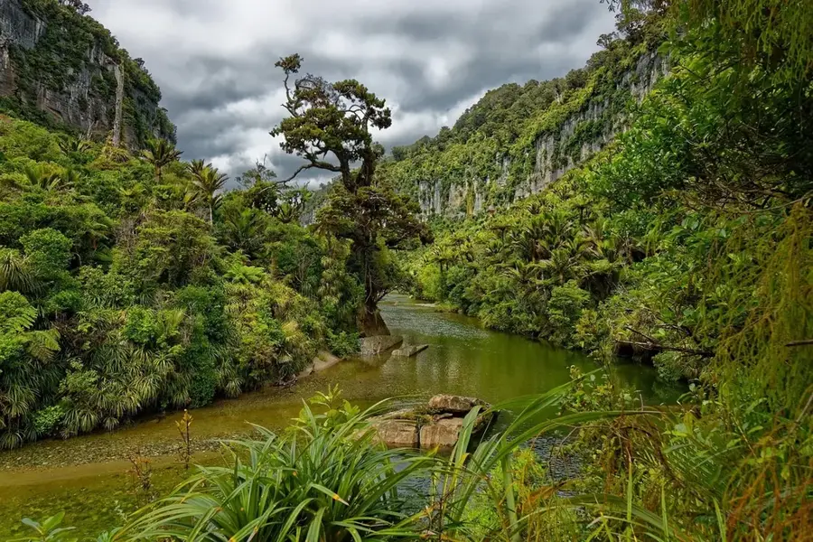
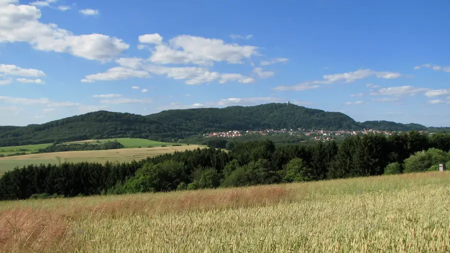
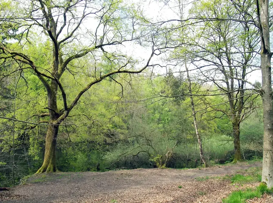
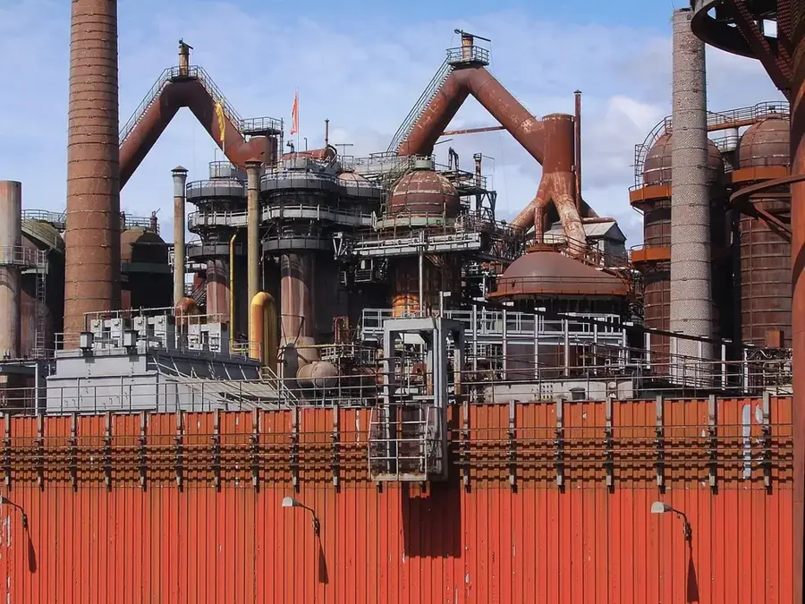
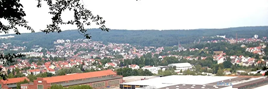
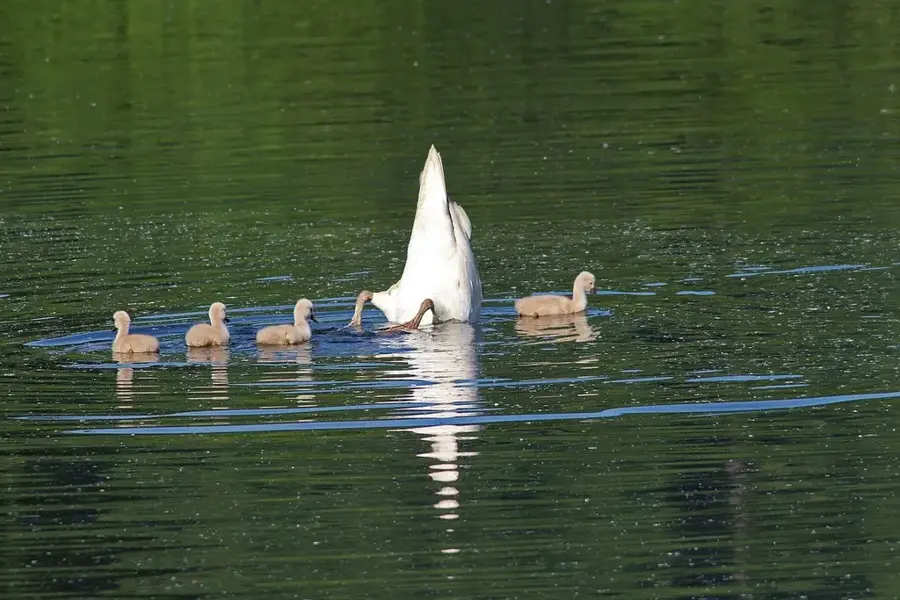
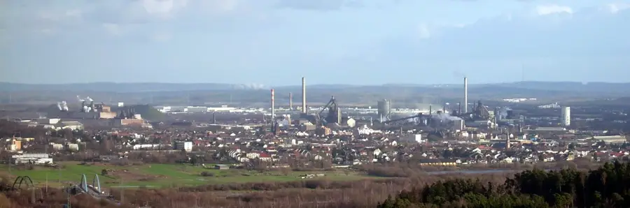
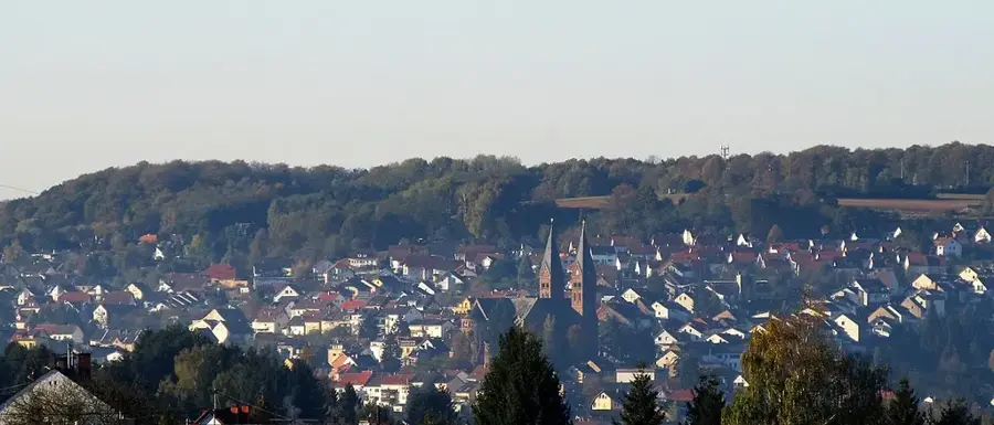
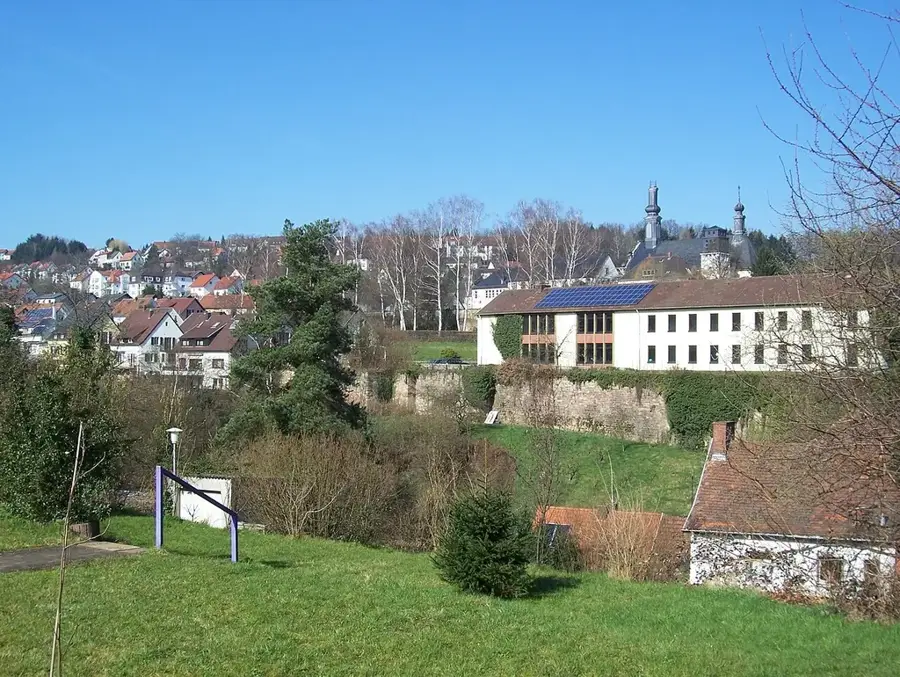
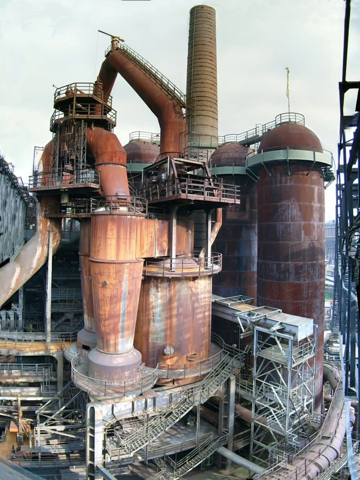
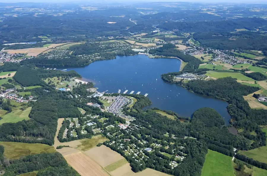
The Warndt is a cross-border forest landscape covering approximately 5,000 hectares between the German state of Saarland and the French region of Lorraine. Geologically, the area is characterized by Bunter sandstone, which forms a prominent plateau deeply incised by numerous stream valleys. Historically, the Warndt served as a significant hunting ground for the Counts of Nassau-Saarbrücken since the Middle Ages, before evolving into a hub for the glass and iron industries during the 17th and 18th centuries. The abundant timber resources and later coal deposits facilitated early industrial growth, traces of which remain visible in the form of industrial relics and unique settlement patterns. Today, the area is designated as a European bird sanctuary, providing a vital habitat for rare species such as the black stork and various bat populations. For the residents of the surrounding industrial urban areas, the Warndt features essential recreational space with an extensive network of hiking and cycling trails. Modern forestry management follows ecological standards to ensure the long-term preservation of its character as a near-natural mixed woodland.
- Location: Saarland, Germany
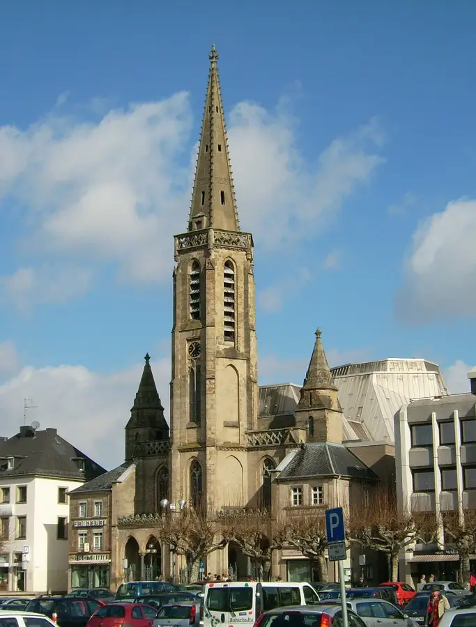
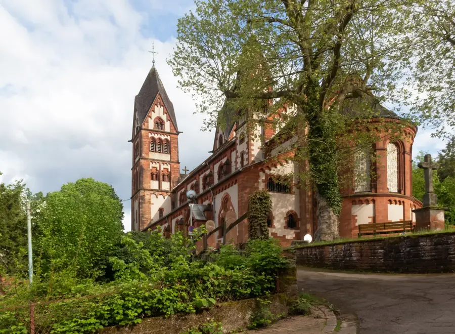
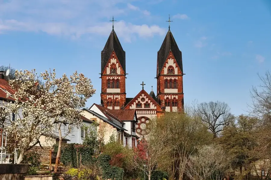
- Top sights: NSG Eulenmühle / Welschwies · Nonnenwies / Distelwies · St. Medardus Neuforweiler
- Nearby: Saarlouis (5 km)
Best time to visit & climate
The most pleasant time to visit is Jun–Aug.
| Jan | Feb | Mar | Apr | May | Jun | Jul | Aug | Sep | Oct | Nov | Dec | |
|---|---|---|---|---|---|---|---|---|---|---|---|---|
| Avg °C | 0 | 1 | 4 | 9 | 13 | 17 | 19 | 18 | 14 | 9 | 5 | 1 |
| Rain mm | 74 | 61 | 62 | 47 | 75 | 69 | 69 | 75 | 57 | 68 | 73 | 89 |
📋 Practical info
Geography
Facts
- The total area of the forest landscape covers approximately 5,000 hectares.
- The Warndt is situated at an elevation between 200 and 380 meters above sea level.
- In the 17th century, Huguenots settled in the area and established glassworks.
- The region has been registered as a European bird sanctuary since 2004.
- The highest point in the German section is the Schachtberg at 378 meters.
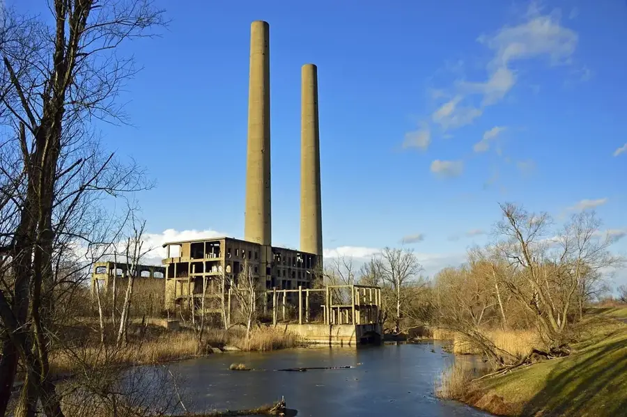
- Coal mining in the Warndt officially ended in 2005 with the closure of the Warndt mine.
Explore nearby
Notable places around
Route planner — Car & Motorhome
Where do you start? We build the route here, with stops and country notes along the way.
© OpenStreetMap contributors · OpenRouteService
Sights in the town Warndt (5)
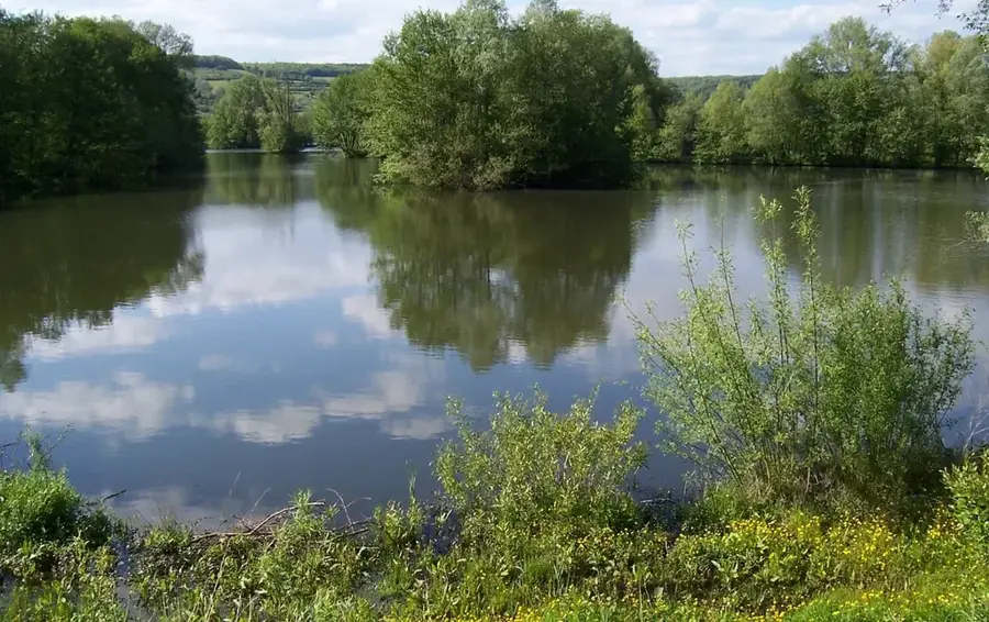
NSG Neuforweiler Weiherbachtal
Protected area in the Warndt, covering the Weiherbachtal valley and ponds.
Sights nearby
Frequently asked questions
What is the Warndt?
What role did the forest play for the nobility in the past?
Are there any special natural monuments in the Warndt?
Can industrial culture be experienced in the Warndt?
Are there cross-border hiking trails?
Warndt: where is it located?
Warndt: what is there to see?
Warndt: when is the best time to visit?
Warndt: why is it worth visiting?

Nearby cities


History & landmarks
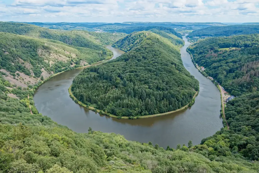
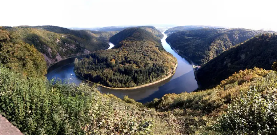
Nature

More places