6th PFÄLZER FOODROCK® OPEN AIR FESTIVAL
A unique crossover of culinary arts and rock music at Steinbruch Picard. Enjoy regional delicacies and live acts in a rustic quarry setting.
Plizio Visual Lab
Weather…
Water temperature…
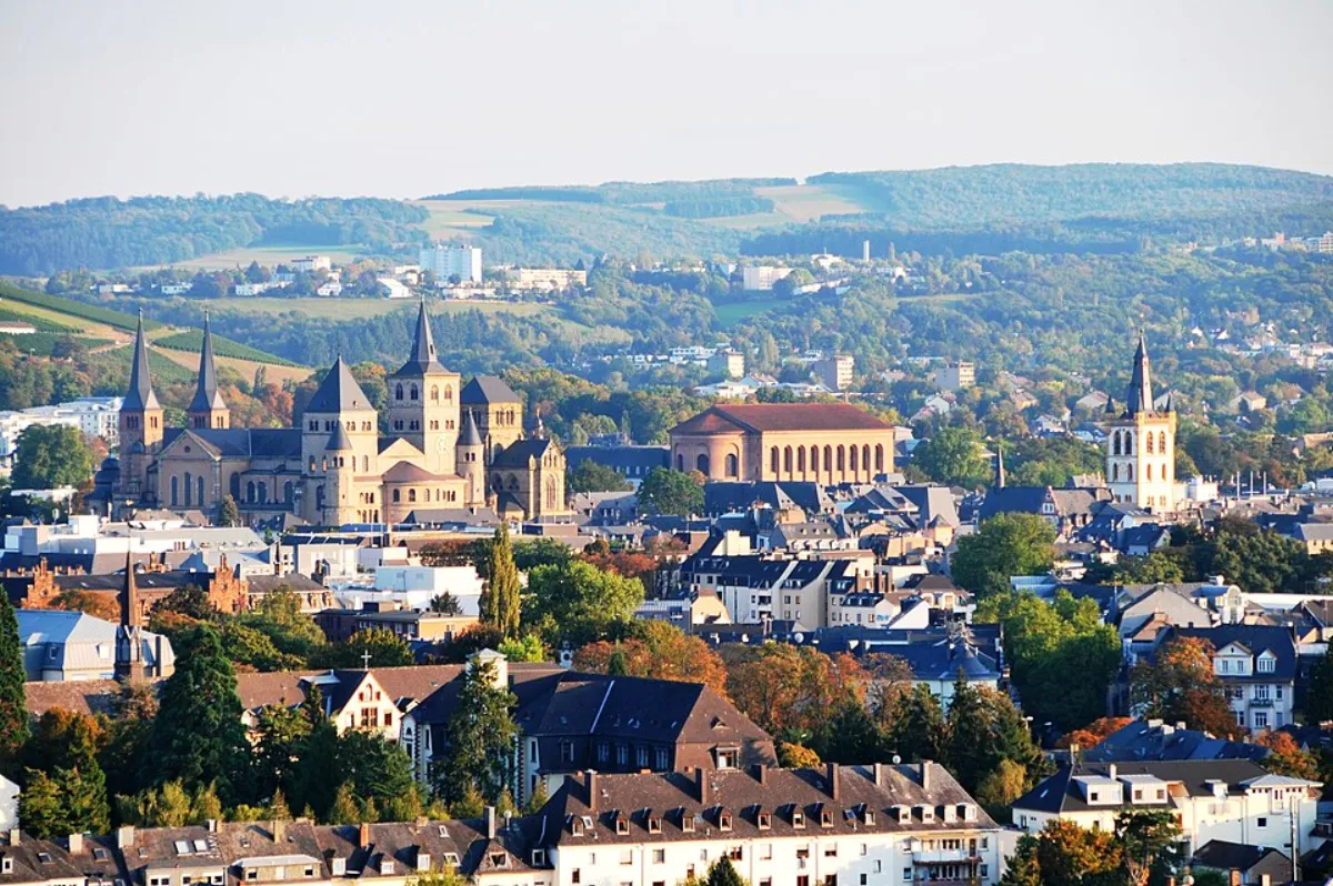
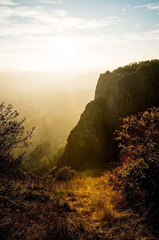
The Palatinate Forest (Pfälzerwald) in southwestern Germany is the country's largest contiguous forest area and a key component of the cross-border UNESCO Palatinate Forest-North Vosges Biosphere Reserve. The landscape is characterized by extensive pine and beech forests, deep valleys, and spectacular Bunter sandstone formations such as the Teufelstisch. Historically, the region is significant for its high density of medieval castles and ruins, including the Trifels Imperial Castle, where the Imperial Regalia were once kept. The Palatinate Forest provides a vast network of hiking trails and is renowned for its managed hiking huts that provide unique Palatinate hospitality. Geologically, the area belongs to the Palatinate-Saarland sedimentary mountains, with Bunter sandstone being the defining element of the rocky terrain. The highest peak is the Kalmit, standing at 673 meters above sea level. On its eastern edge, the forest transitions into the Palatinate wine region, making it a popular destination for nature and wine enthusiasts alike.
The most pleasant time to visit is Jun–Aug.
| Jan | Feb | Mar | Apr | May | Jun | Jul | Aug | Sep | Oct | Nov | Dec | |
|---|---|---|---|---|---|---|---|---|---|---|---|---|
| Avg °C | 0 | 1 | 5 | 10 | 14 | 18 | 21 | 20 | 15 | 10 | 5 | 1 |
| Rain mm | 55 | 45 | 47 | 40 | 69 | 61 | 65 | 67 | 48 | 57 | 57 | 65 |
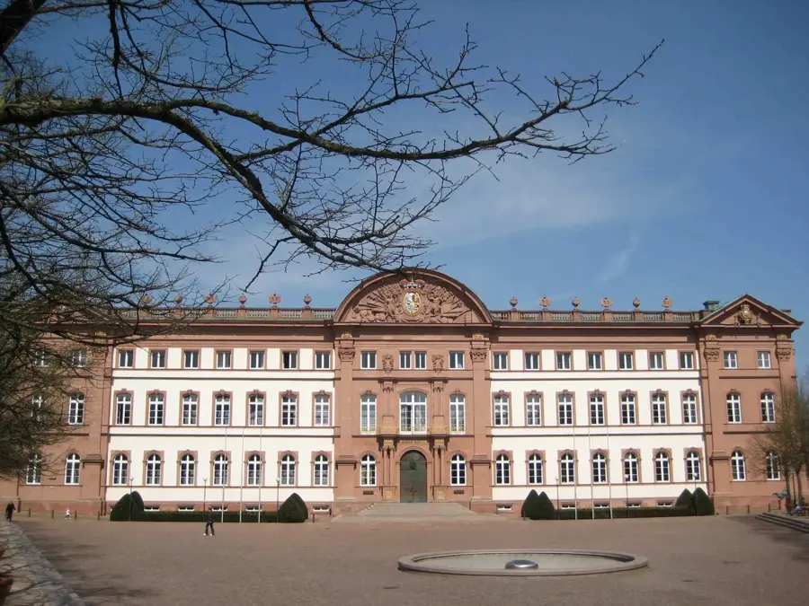
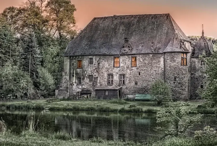
Notable places around
Where do you start? We build the route here, with stops and country notes along the way.
© OpenStreetMap contributors · OpenRouteService
A heated outdoor swimming pool in Trippstadt providing leisure and swimming facilities.