Plizio Visual Lab
Wilseder Berg
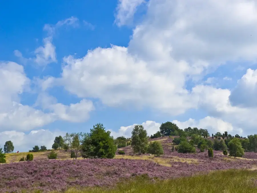
At 169 meters, the Wilseder Berg is the highest elevation in the Lüneburg Heath and the North German Plain. Located at the center of the Lüneburg Heath Nature Reserve, it is a relic of the Saale glaciation, formed as a terminal moraine approximately 200,000 years ago. From its summit, clear weather provides a panoramic view stretching north to the church spires of Hamburg and southwest to Bremen. The top of the hill is characterized by a vast heathland, kept open through traditional grazing by Heidschnucke sheep. In 1921, the area surrounding the hill was declared Germany's first nature reserve to protect the unique cultural landscape from afforestation and urban sprawl. Since the entire area is closed to private motor vehicle traffic, the hill can only be reached on foot, by bicycle, or by horse-drawn carriage. It is considered the centerpiece of gentle tourism in Lower Saxony and a symbol of early nature conservation ideals.
- Location: Lower Saxony, Germany
- Top sights: Bolterberg · Aussichtskanzel Fürstengrab · Lüneburg Heath
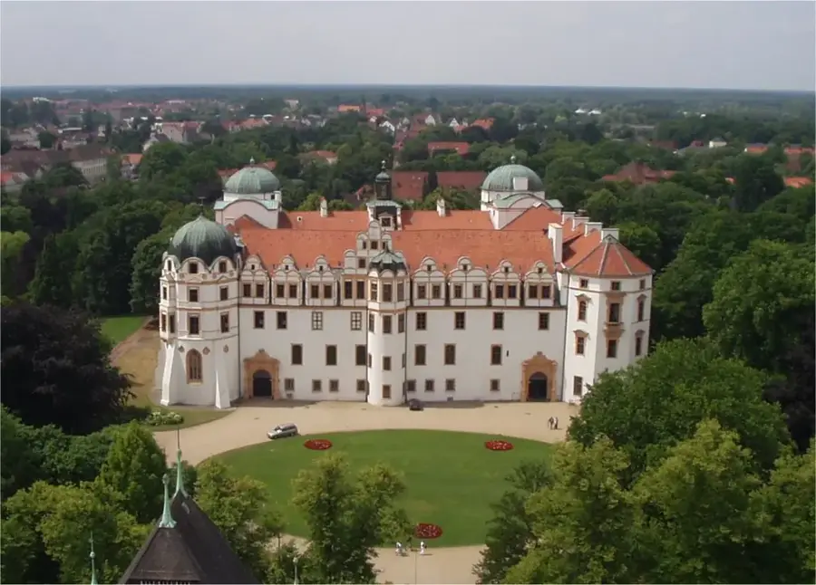
- Nearby: Schneverdingen (10 km)
Best time to visit & climate
The most pleasant time to visit is Jun–Aug.
| Jan | Feb | Mar | Apr | May | Jun | Jul | Aug | Sep | Oct | Nov | Dec | |
|---|---|---|---|---|---|---|---|---|---|---|---|---|
| Avg °C | 0 | 1 | 4 | 9 | 13 | 17 | 19 | 18 | 14 | 10 | 5 | 2 |
| Rain mm | 70 | 52 | 51 | 40 | 58 | 66 | 85 | 69 | 56 | 61 | 62 | 69 |
📋 Practical info
Geography
Facts
- At 169 meters, it is the highest elevation in the North German Plain.
- Formed as a terminal moraine during the Saale glaciation.
- Center of Germany's first nature reserve (established in 1921).
- On clear days, the church spires of Hamburg (approx. 40 km) are visible.
- The hill is completely closed to cars and only accessible by non-motorized means.
- The plateau is maintained through grazing by Heidschnucke sheep.
Explore nearby
Notable places around
Route planner — Car & Motorhome
Where do you start? We build the route here, with stops and country notes along the way.
© OpenStreetMap contributors · OpenRouteService
Sights in the town Wilseder Berg (10)
Oberhaverbeck Dolmen
Neolithic megalithic tomb in the Lüneburg Heath.
Hillmers Kutschfahrten
Horse-drawn carriage ride provider in the Lüneburg Heath.
Bienenwelten🏛 museum
Museum about bees and beekeeping in the Lüneburg Heath.
Naturschutz Informationshaus
Information center about nature conservation in the Lüneburg Heath.
Kutschfahrten
Horse-drawn carriage rides through the Lüneburg Heath.
De Emhoff🏛 museum
Museum about the history of heathland farms.
Sights nearby
Frequently asked questions
How high is the Wilseder Berg?
Are cars allowed on the mountain?
When does the heather bloom at Wilseder Berg?
Can you see all the way to Hamburg from the top?
What is the most relaxing way to get there?
Wilseder Berg: where is it located?
Wilseder Berg: what is there to see?
Wilseder Berg: when is the best time to visit?
Wilseder Berg: why is it worth visiting?

Nearby cities