Plizio Visual Lab
Las Guáranas

ℹ️Practical info — Las Guáranas
▾
🌤 Weather — 5 days
📍 Nearby
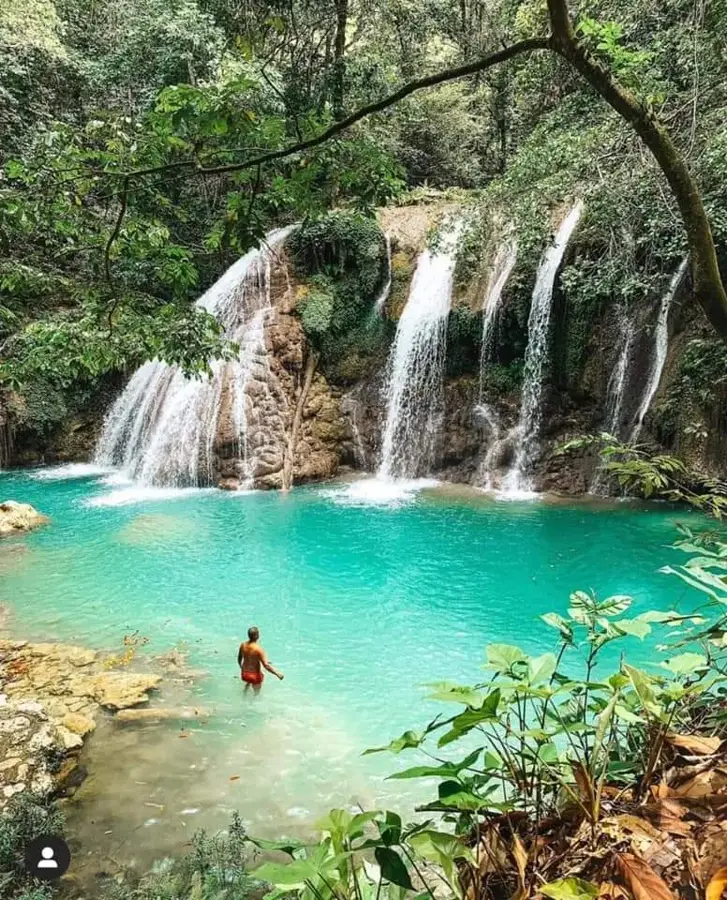
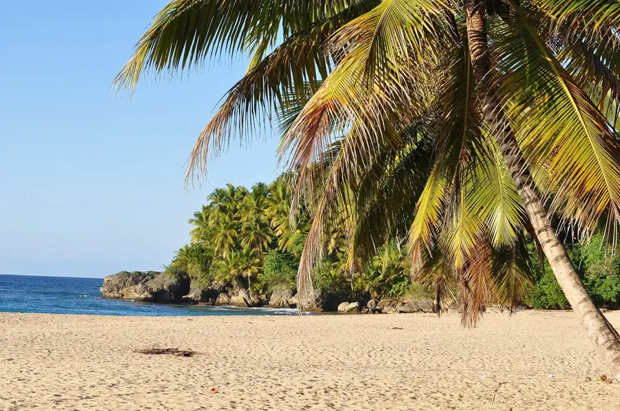
Sights nearby
💡 Tips
- Explore the surrounding rice fields in the early morning for beautiful views.
- Motoconchos (motorcycle taxis) are the easiest way to get around the town.
- Carry small denomination pesos for local purchases.
- Engage with the friendly locals in the central park during late afternoon.
🍽 Food
Try this local rice dish at small eateries around the center.
Buy directly from street vendors in the morning.
Ask for this hearty stew at traditional restaurants on weekends.
🛍 Shopping · 🧘 Quiet spots
Great for picking up fresh produce and experiencing the local vibe.
Small corner stores first-rate for cold drinks and snacks.
A peaceful spot to sit under the shade of trees during the hotter part of the day.
Walk towards the edges of town for tranquil agricultural landscapes.
Water temperature…
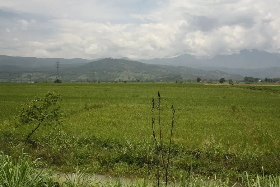
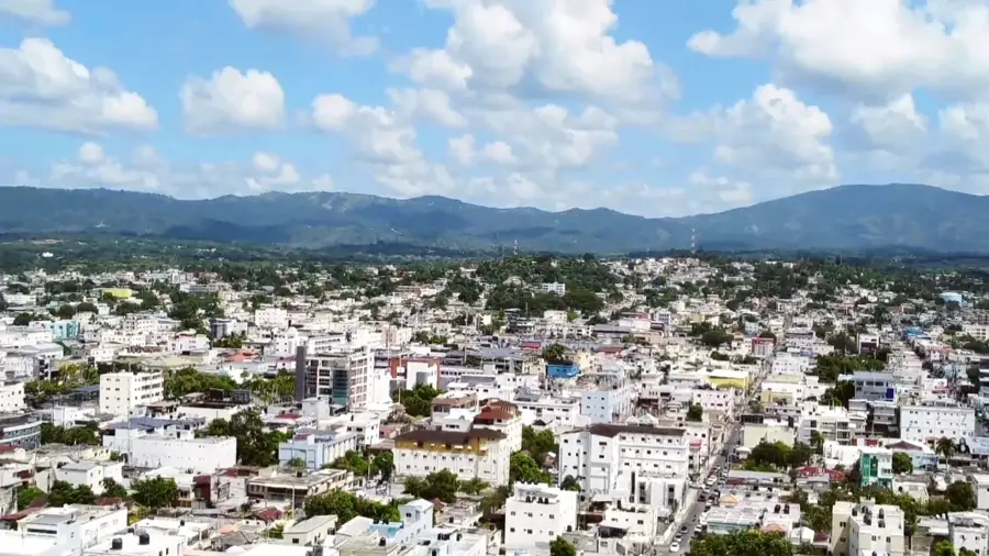
Las Guáranas is a dynamic municipality in the heart of the Duarte province, tucked away within the fertile plains of the Cibao Valley in the northern Dominican Republic. The town is an essential component of the country's agricultural engine, dedicated almost exclusively to the industrial-scale production of rice. Geographically, Las Guáranas benefits from the alluvial soils of the nearby Camú River, which, combined with the humid tropical climate, create optimal conditions for rice cultivation. The municipality was officially established in 1998 and has since evolved into a logistical hub for the storage and transportation of grain between the provinces of La Vega and Duarte. The social and economic life of the region is deeply intertwined with harvesting cycles, reflected in the town's architecture with its numerous warehouses and mills. The expansive, open landscape defined by rice paddies provides a quintessential insight into the modern Dominican agrarian economy.
- Location: Dominican Republic
- Nearby: San Francisco de Macorís (6 km)
- Population: ~9.586 (2016)
Best time to visit & climate
The most pleasant time to visit is Jan–Mar.
| Jan | Feb | Mar | Apr | May | Jun | Jul | Aug | Sep | Oct | Nov | Dec | |
|---|---|---|---|---|---|---|---|---|---|---|---|---|
| Avg °C | 24 | 24 | 25 | 26 | 27 | 28 | 28 | 28 | 28 | 27 | 26 | 25 |
| Rain mm | 35 | 25 | 29 | 41 | 62 | 39 | 50 | 55 | 56 | 54 | 71 | 50 |
Geography
Facts
- Officially elevated to municipality status in the year 1998
- Core center for large-scale rice cultivation in the Cibao Valley
- Strategically located between San Francisco de Macorís and La Vega
- The soils are enriched by sediments from the nearby Camú River
- Features numerous industrial-scale rice mills and storage silos
- Characterized by a humid tropical climate with significant rainfall
Explore nearby
Notable places around
Route planner — Car & Motorhome
Where do you start? We build the route here, with stops and country notes along the way.
© OpenStreetMap contributors · OpenRouteService
Frequently asked questions
What is the economic base of Las Guáranas?
Where exactly is Las Guáranas located?
What can a visitor do in the area?
When is the patronal festival of Las Guáranas?
How is the public transport connection?
Las Guáranas: where is it located?
Las Guáranas: when is the best time to visit?
Las Guáranas: why is it worth visiting?

Nearby cities


Nature
More places