Plizio Visual Lab
Sierra de Yamasá
Weather…
Water temperature…
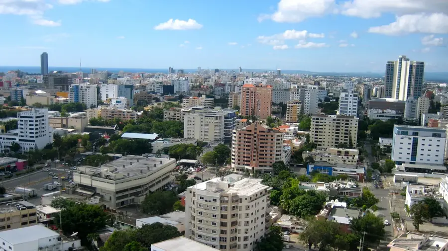
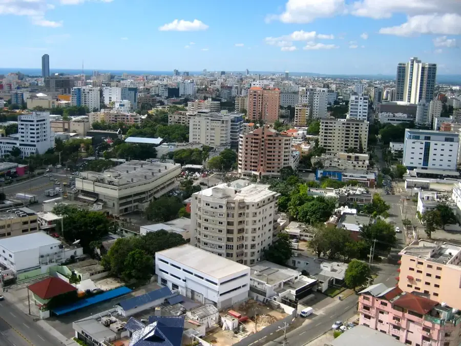
The Sierra de Yamasá is a mountain formation in the eastern Dominican Republic, often considered a northeastern spur of the Cordillera Central. It extends northwest of Santo Domingo and reaches elevations of about 800 meters, with Pico Siete Cabezas being one of its most prominent peaks. Geologically, the range consists of volcanic rock and limestone, leading to a rugged topography. The region is of strategic hydrological importance as it is the source of several major rivers, including the Ozama and Isabela, which supply water to the capital city. The vegetation is primarily subtropical rainforest, although much of it has been replaced by cocoa, coffee, and citrus plantations. The Sierra also plays a role in the mining industry, particularly due to its proximity to the Pueblo Viejo gold mine, one of the largest in the world.
- Location: Dominican Republic
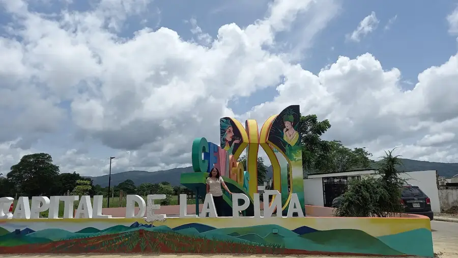
- Nearby: Cevicos (8 km)
Best time to visit & climate
The most pleasant time to visit is Jan–Mar.
| Jan | Feb | Mar | Apr | May | Jun | Jul | Aug | Sep | Oct | Nov | Dec | |
|---|---|---|---|---|---|---|---|---|---|---|---|---|
| Avg °C | 24 | 24 | 25 | 26 | 27 | 28 | 28 | 28 | 28 | 27 | 26 | 25 |
| Rain mm | 35 | 25 | 29 | 41 | 62 | 39 | 50 | 55 | 56 | 54 | 71 | 50 |
📋 Practical info
Geography
Facts
- The highest point of the Sierra reaches approximately 853 meters.
- The Ozama River originates within these mountains.
- Yamasá is a key center for organic cocoa production.
- The range forms a natural barrier north of Santo Domingo.
- The Pueblo Viejo mine is located at the western edge of the Sierra.
- The region receives over 2,000 mm of rainfall annually.
Explore nearby
Notable places around
Route planner — Car & Motorhome
Where do you start? We build the route here, with stops and country notes along the way.
© OpenStreetMap contributors · OpenRouteService
Sights nearby
Frequently asked questions
Where is the Sierra de Yamasá located?
Why is it ecologically important?
What is mined in this region?
What is the landscape like?
Which city is at the foot of these mountains?
Sierra de Yamasá: where is it located?
Sierra de Yamasá: when is the best time to visit?
Sierra de Yamasá: why is it worth visiting?

Nearby cities


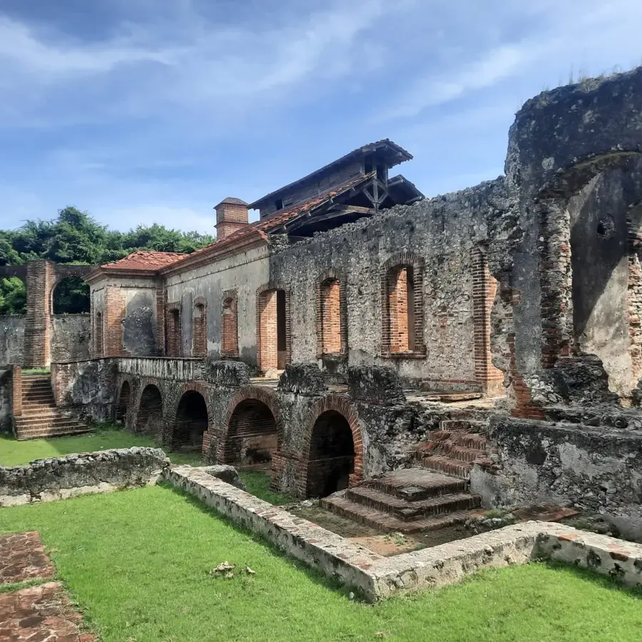


History & landmarks
Nature
More places