Plizio Visual Lab
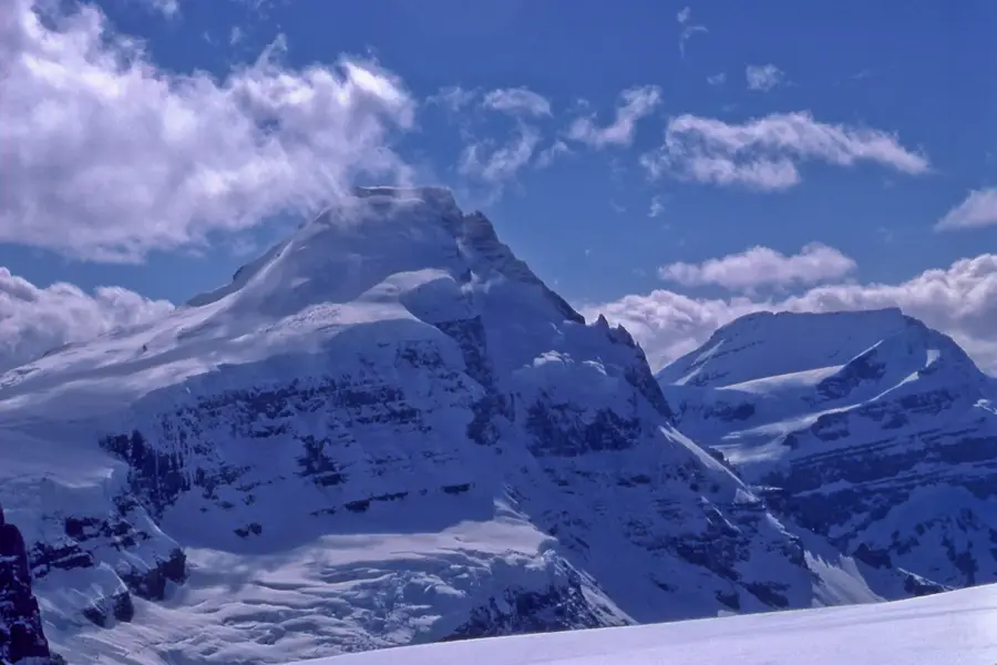
Mount Columbia
Weather…
Water temperature…
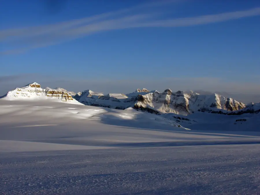
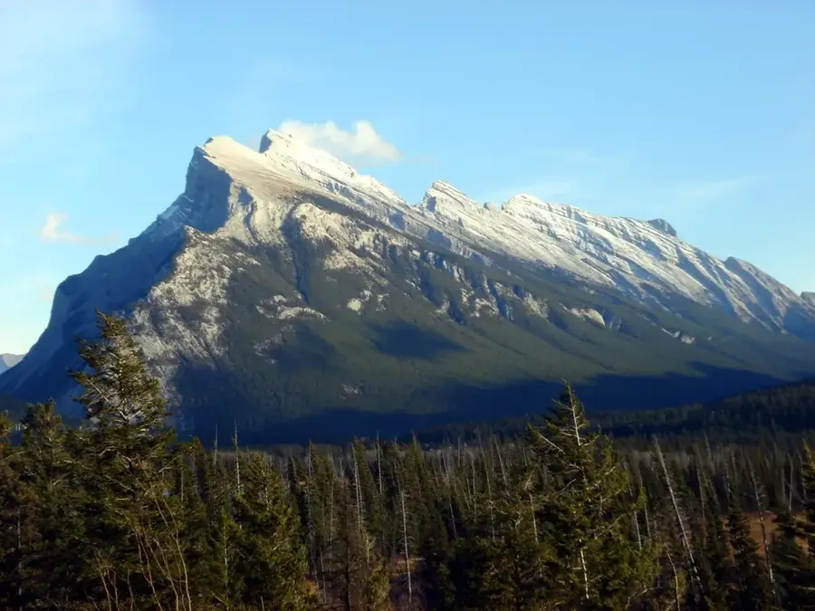
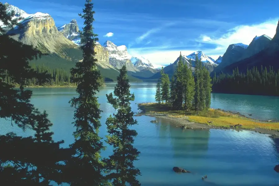
Mount Columbia stands at 3,747 meters, making it the highest peak in Alberta and the second-highest in the Canadian Rockies. It is situated on the boundary between Jasper and Banff National Parks, bordering the vast Columbia Icefield. Geographically part of the Winston Churchill Range, it rises prominently above the surrounding glacial landscape. The first recorded ascent took place in 1902 by James Outram and his guide Christian Kaufmann. The mountain is primarily composed of sedimentary rocks such as limestone and shale, deposited during the Precambrian and Cambrian periods. Because it sits atop a continental ice sheet, the summit is encased in snow and ice year-round, requiring technical mountaineering skills for an ascent. Historically, the mountain was a significant milestone in the exploration of the Canadian West and currently serves as a vital site for high-altitude climbing and glaciological studies.
- Location: Canada
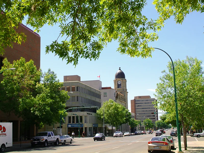
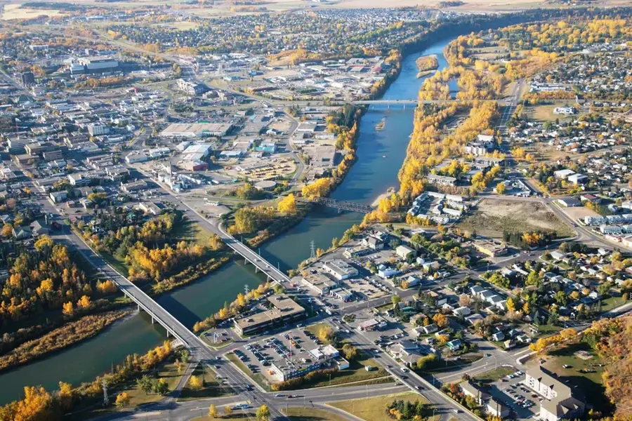
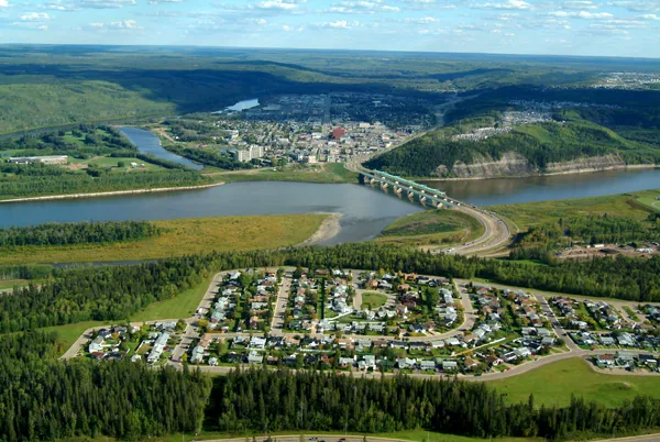
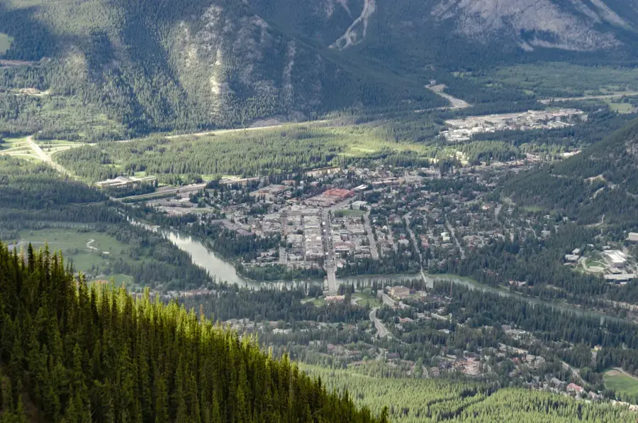
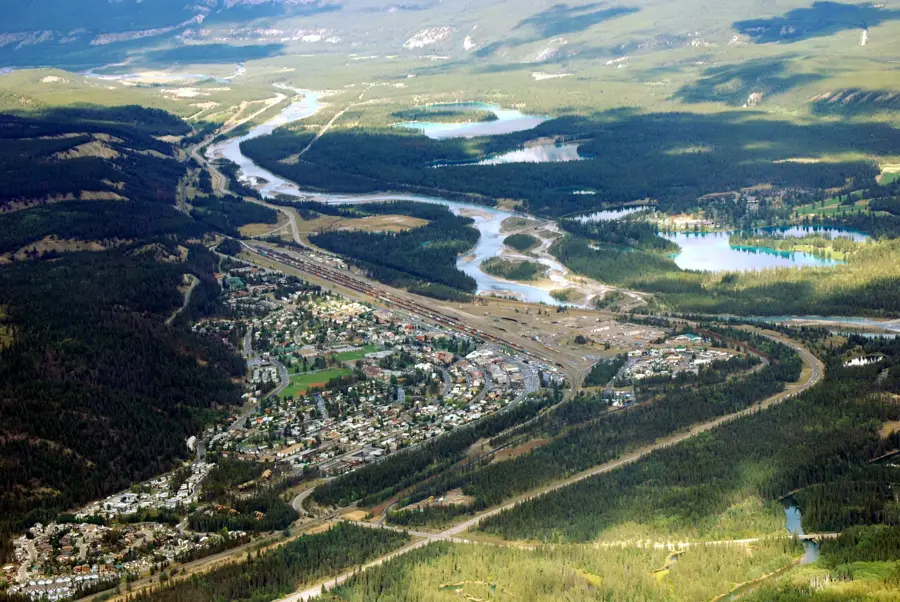
- Nearby: Jasper (44 km)
Best time to visit & climate
The most pleasant time to visit is Jun–Aug.
| Jan | Feb | Mar | Apr | May | Jun | Jul | Aug | Sep | Oct | Nov | Dec | |
|---|---|---|---|---|---|---|---|---|---|---|---|---|
| Avg °C | -12 | -12 | -8 | -4 | 3 | 9 | 12 | 11 | 6 | -1 | -9 | -13 |
| Rain mm | 106 | 76 | 109 | 76 | 76 | 104 | 85 | 66 | 85 | 110 | 121 | 89 |
📋 Practical info
Geography
Facts
- The peak reaches an elevation of 3,747 meters
- First successfully climbed by James Outram in 1902
- Highest mountain in the province of Alberta
- Second highest peak in the Canadian Rockies
- Part of the Winston Churchill Range geographical group
- Located at the edge of the 325-square-kilometer Columbia Icefield
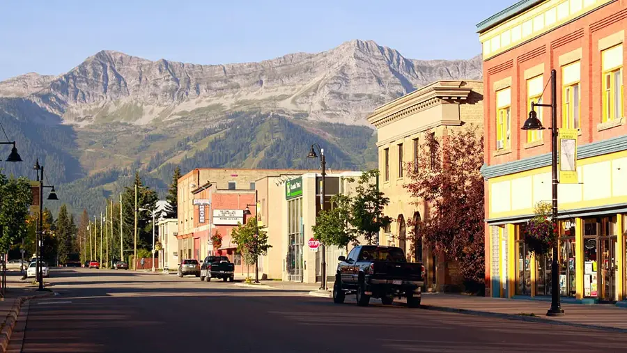
Explore nearby
Notable places around
Route planner — Car & Motorhome
Where do you start? We build the route here, with stops and country notes along the way.
© OpenStreetMap contributors · OpenRouteService
Sights in the town Mount Columbia (1)
Sights nearby
Frequently asked questions
Which mountain is the highest in Alberta?
Is it technically difficult to climb?
Where is the mountain located?
Can you see the mountain from the road?
When is the best time for a climb?
Mount Columbia: where is it located?
Mount Columbia: when is the best time to visit?
Mount Columbia: why is it worth visiting?

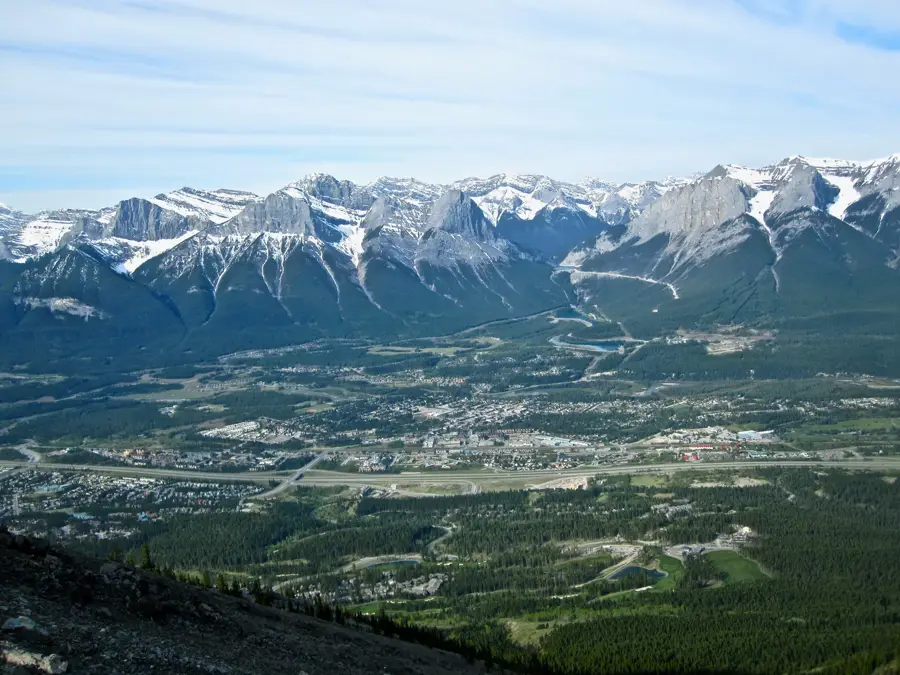
Nearby cities
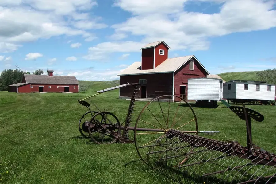
History & landmarks


Nature

More places