Plizio Visual Lab
Canadian Rockies
Weather…
Water temperature…
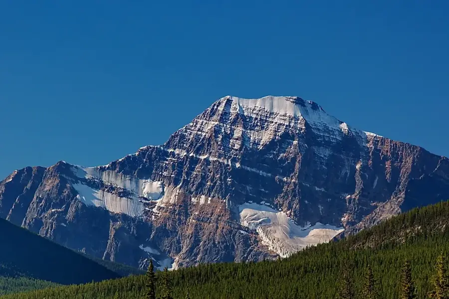
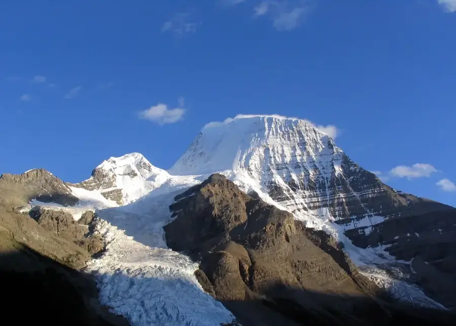
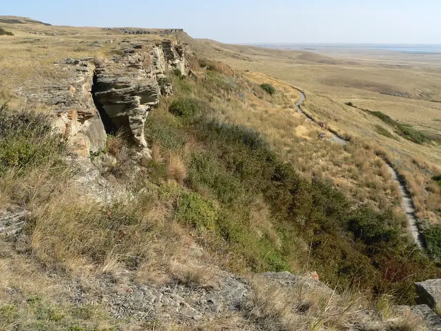
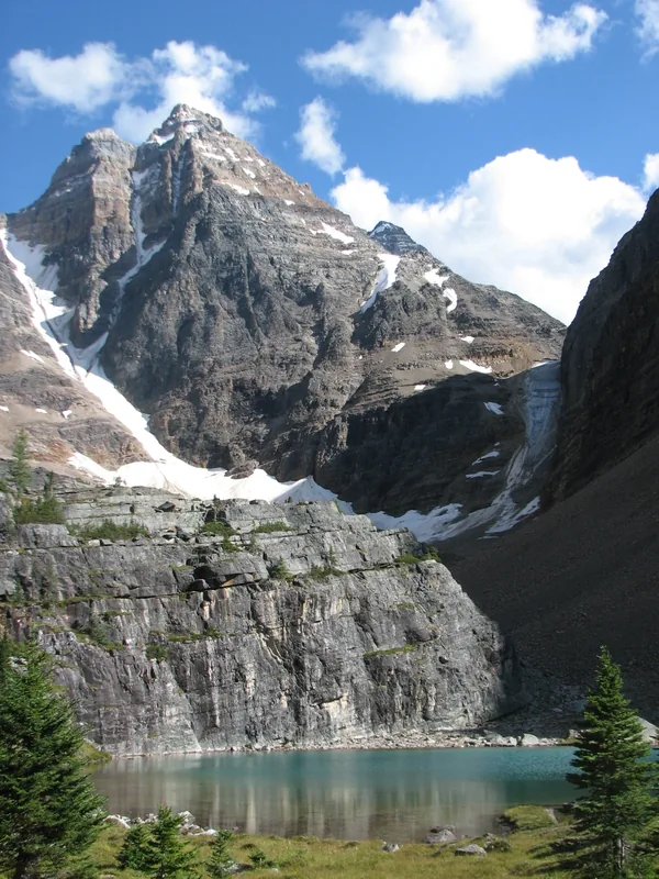
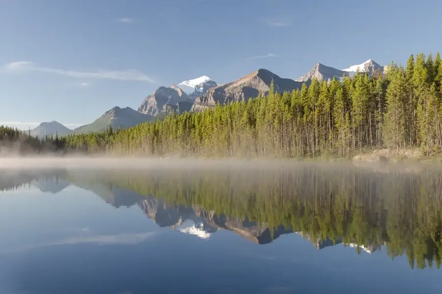
The Canadian Rockies comprise the easternmost part of the Canadian Cordillera, stretching approximately 1,450 kilometers from the United States border in the south to the Liard River in the north. Unlike their counterparts in the American Rockies, which are largely composed of metamorphic and igneous rocks, the Canadian section consists primarily of sedimentary rocks like limestone and shale. These layers were pushed eastward and upward during the Laramide orogeny between 80 and 55 million years ago. The distinctive jagged silhouettes of the peaks are the result of intense glaciation, which has left behind hanging valleys, cirques, and U-shaped troughs. Mount Robson stands as the highest peak in the range at 3,954 meters. The region is home to five national parks, Banff, Jasper, Kootenay, Yoho, and Waterton Lakes, forming one of the world's most extensive protected mountain environments. A critical hydrological divide, the range feeds major river systems including the Fraser, Columbia, and Mackenzie, while the Burgess Shale within its borders provides a rare window into the evolution of complex life from the Cambrian Period. The mountains remain a symbol of Canada's vast wilderness and its commitment to conservation.
- Location: Canada
- Top sights: Mount Colin · Hawk Mountain
- Nearby: Jasper (11 km)
Best time to visit & climate
The most pleasant time to visit is Jun–Aug.
| Jan | Feb | Mar | Apr | May | Jun | Jul | Aug | Sep | Oct | Nov | Dec | |
|---|---|---|---|---|---|---|---|---|---|---|---|---|
| Avg °C | -12 | -12 | -8 | -3 | 4 | 8 | 11 | 10 | 5 | -1 | -8 | -13 |
| Rain mm | 34 | 29 | 46 | 50 | 69 | 103 | 99 | 69 | 58 | 47 | 43 | 29 |
📋 Practical info
Geography
Facts
- Highest peak: Mount Robson at an elevation of 3,954 meters
- Total length: Approximately 1,450 kilometers (900 miles)
- UNESCO Status: Inscribed as a World Heritage site in 1984
- Drainage: Feeds river systems flowing to three different oceans
- Geological age: Formed between 80 and 55 million years ago
- Rock type: Primarily composed of sedimentary limestone and shale
Explore nearby
Notable places around
Route planner — Car & Motorhome
Where do you start? We build the route here, with stops and country notes along the way.
© OpenStreetMap contributors · OpenRouteService
Sights in the town Canadian Rockies (2)
Sights nearby
Frequently asked questions
Which national parks are part of the Canadian Rockies?
When is the best time for hiking?
Is there a scenic drive?
Should you be afraid of bears?
What is the best way to travel between parks?
Canadian Rockies: where is it located?
Canadian Rockies: what is there to see?
Canadian Rockies: when is the best time to visit?
Canadian Rockies: why is it worth visiting?

History & landmarks

Nature
More places