Plizio Visual Lab
Fort McMurray
ℹ️Practical info — Fort McMurray
▾
🌤 Weather — 5 days
📍 Nearby
Sights nearby
💡 Tips
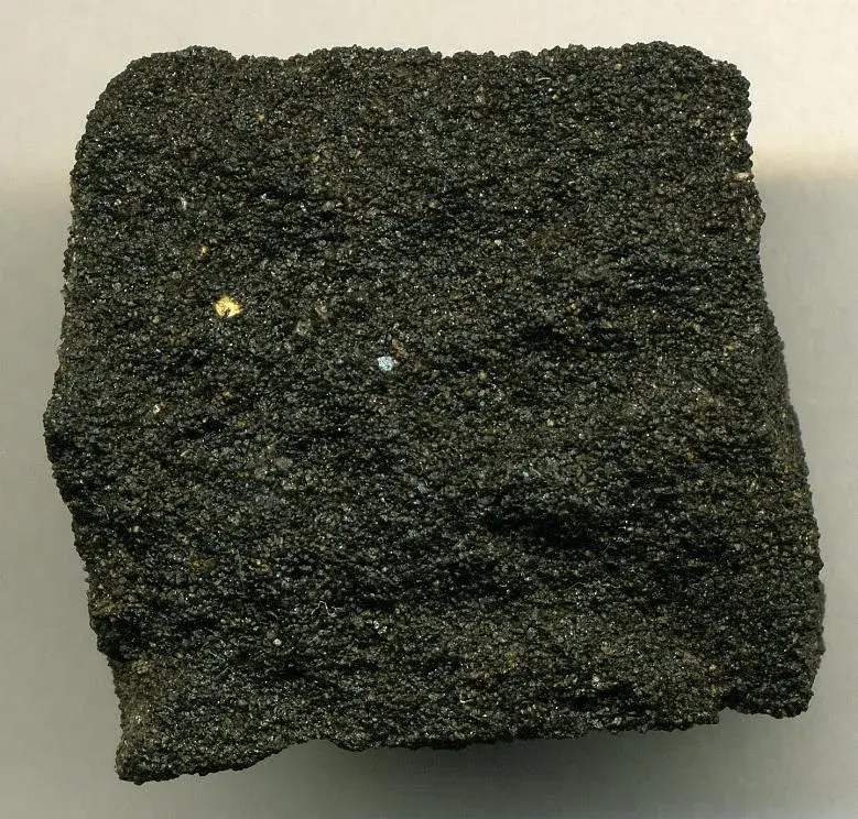
- Visit the Oil Sands Discovery Centre to understand the region's main industry.
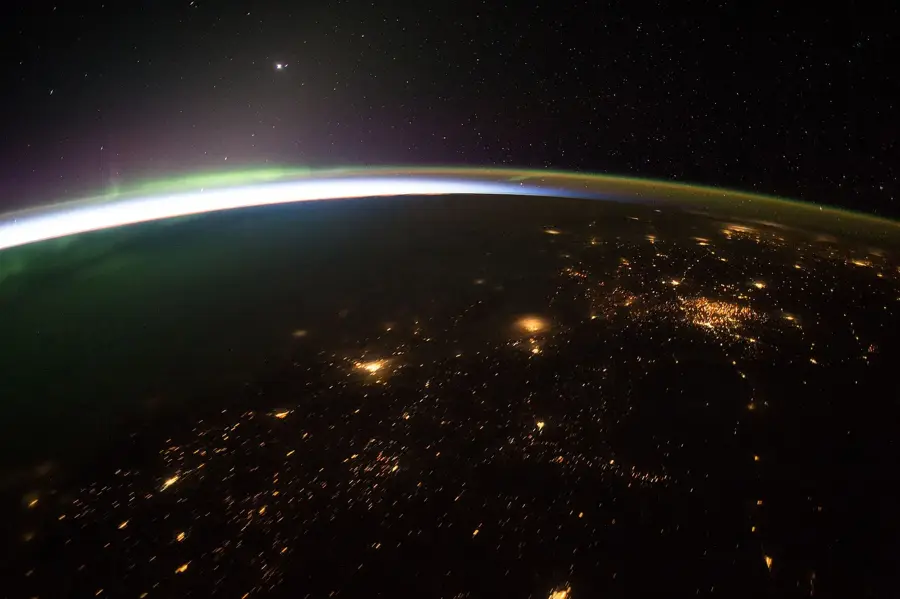
- Winter visitors should head out of the city lights to view the Aurora Borealis.
- Be bear aware when hiking the outer trails, even close to the city.
- Summer days are very long; take advantage of the extended evening daylight.
🍽 Food
Enjoy a premium steak at a local downtown steakhouse.
Warm up with comfort food at one of the lively pubs on Franklin Avenue.
🛍 Shopping · 🧘 Quiet spots
Look for authentic local art and crafts at cultural centers.
Find all your essential cold-weather gear and brands at the main mall.
Stroll around the green spaces of this massive recreation center.
Take a quiet walk along the river trails at dawn or dusk.
Water temperature…
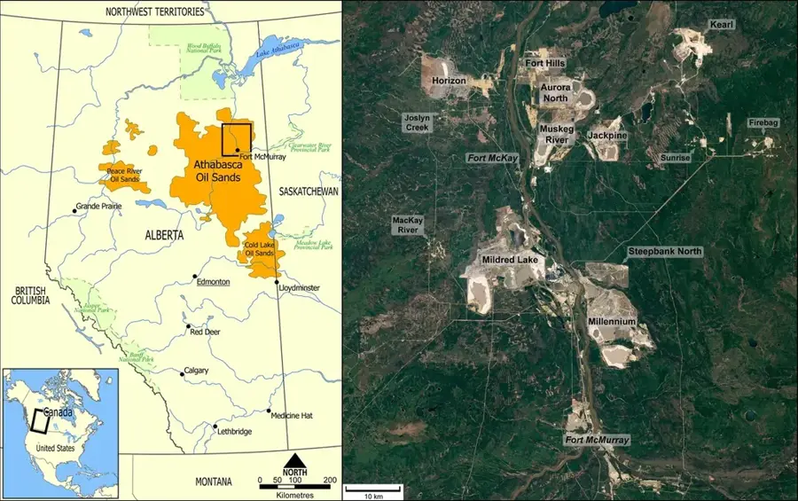
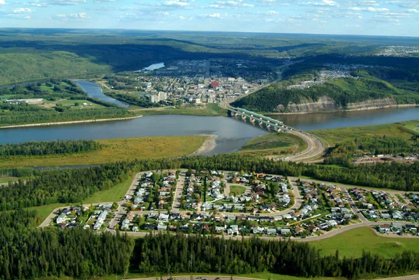
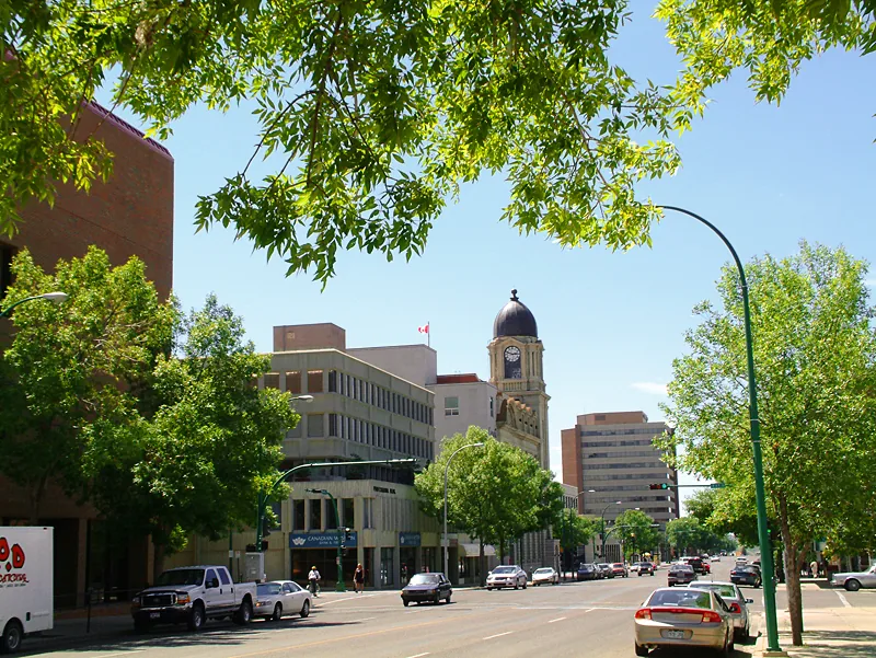
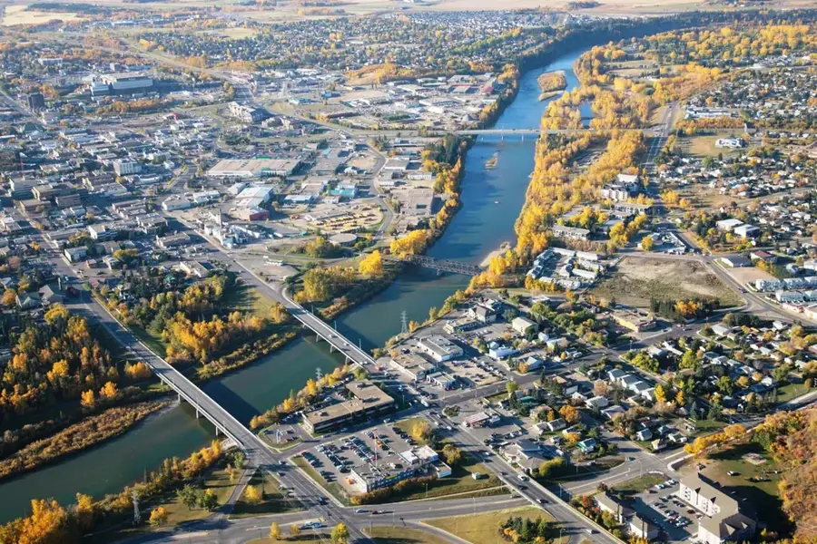
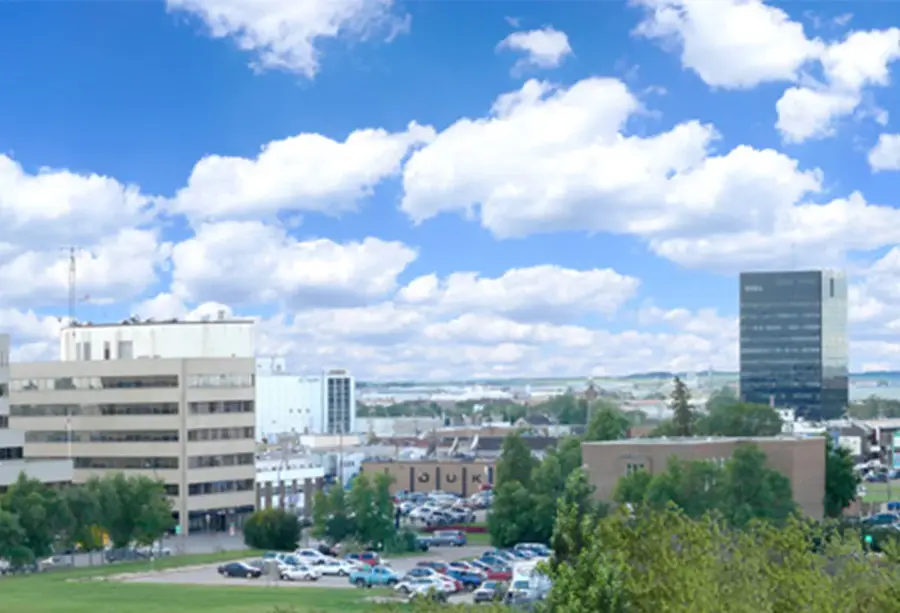
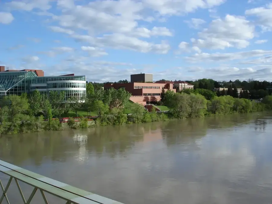
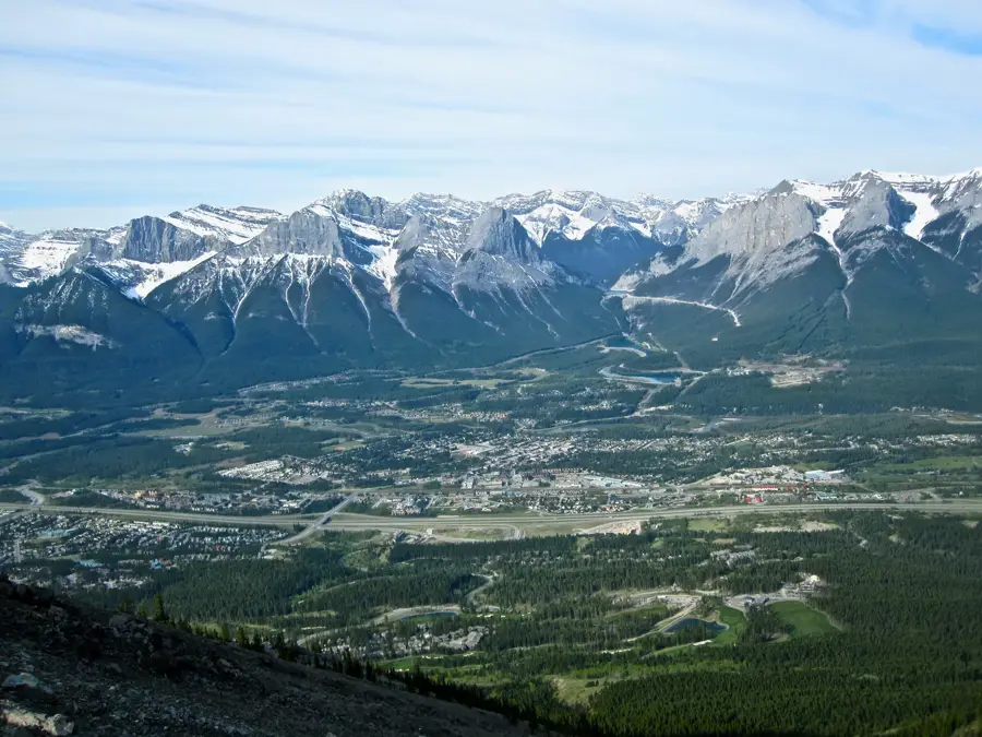
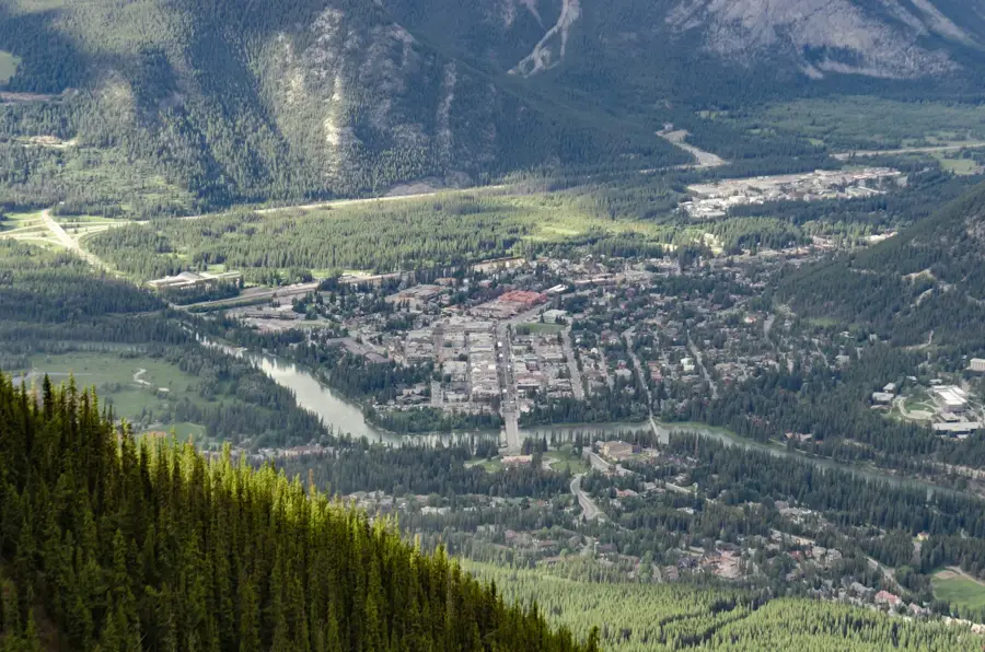
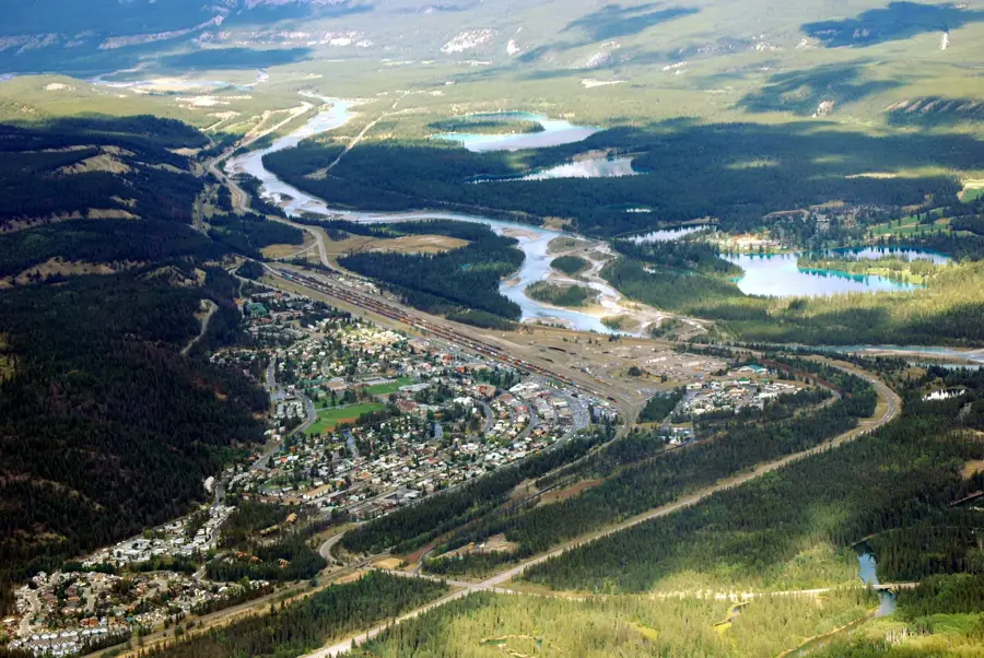
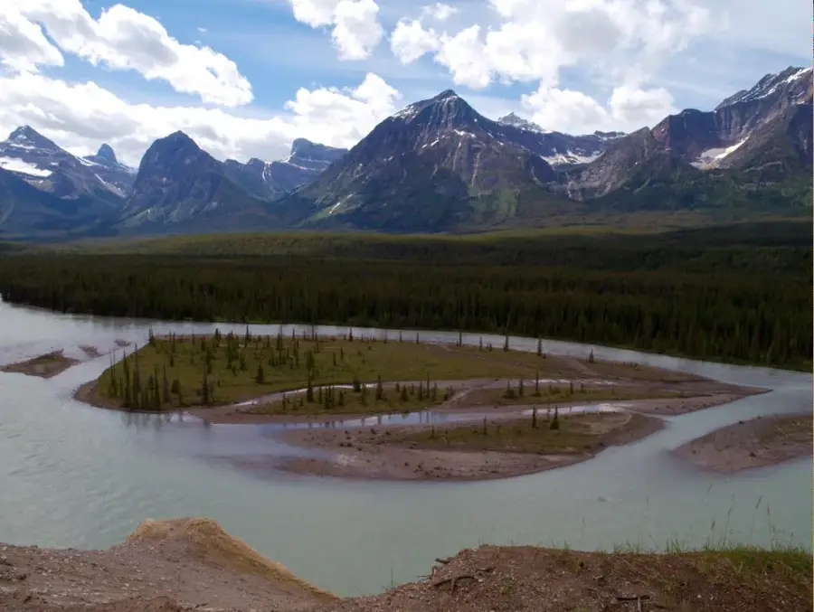
Fort McMurray is an urban service area within the Regional Municipality of Wood Buffalo in northeastern Alberta, situated at the strategic confluence of the Athabasca and Clearwater Rivers. Originally established as a Hudson's Bay Company fur trading post in 1870, the settlement was named after William McMurray. The community's massive expansion in the 20th century is fundamentally linked to the industrial development of the Athabasca Oil Sands, which represent one of the world's largest petroleum reserves. In May 2016, a catastrophic wildfire forced the evacuation of approximately 88,000 residents and destroyed roughly 2,400 structures, marking it as the costliest natural disaster in Canadian history. Despite its heavy industrial focus, the area is surrounded by immense boreal forests and serves as a gateway to Northern Alberta's wilderness. Its economic significance as a global hub for the energy sector has shaped a diverse, multicultural demographic profile with high average household incomes.
- Location: Canada
- Top sights: Marine Park Museum · Keyano Theatre & Arts Centre · Heritage Village
- Population: ~66.573 (2024)
Best time to visit & climate
The most pleasant time to visit is Jun–Aug.
| Jan | Feb | Mar | Apr | May | Jun | Jul | Aug | Sep | Oct | Nov | Dec | |
|---|---|---|---|---|---|---|---|---|---|---|---|---|
| Avg °C | -17 | -16 | -9 | 1 | 9 | 14 | 17 | 15 | 9 | 1 | -8 | -16 |
| Rain mm | 29 | 24 | 35 | 44 | 59 | 98 | 86 | 71 | 57 | 43 | 31 | 29 |
Geography
Facts
- Founded in 1870 as a Hudson's Bay Company trading post.
- Located at the confluence of the Athabasca and Clearwater rivers.
- The 2016 wildfire forced the evacuation of 88,000 people.
- Serves as the primary service hub for the Athabasca Oil Sands.
- Sits at an average elevation of approximately 260 meters.
- Operates an international airport with daily connections across Canada.
Explore nearby
Notable places around
Route planner — Car & Motorhome
Where do you start? We build the route here, with stops and country notes along the way.
© OpenStreetMap contributors · OpenRouteService
Sights in the town Fort McMurray (3)
Frequently asked questions
When is the best time for Northern Lights?
How many days should you plan for?
Are there any local specialties?
What is the city's economic role?
Is Fort McMurray family-friendly?
Fort McMurray: where is it located?
Fort McMurray: what is there to see?
Fort McMurray: when is the best time to visit?
Fort McMurray: why is it worth visiting?

Nearby cities
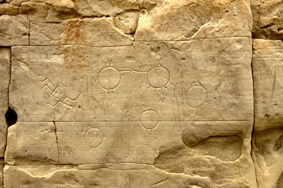
History & landmarks


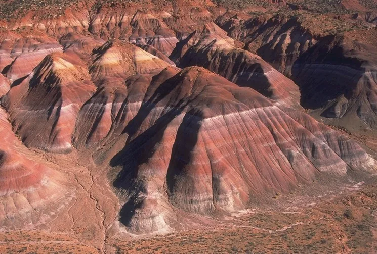
Nature

More places