Plizio Visual Lab
Peace Bridge (Calgary)
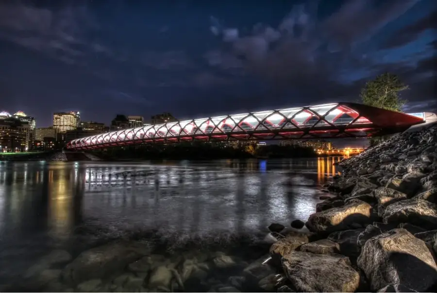
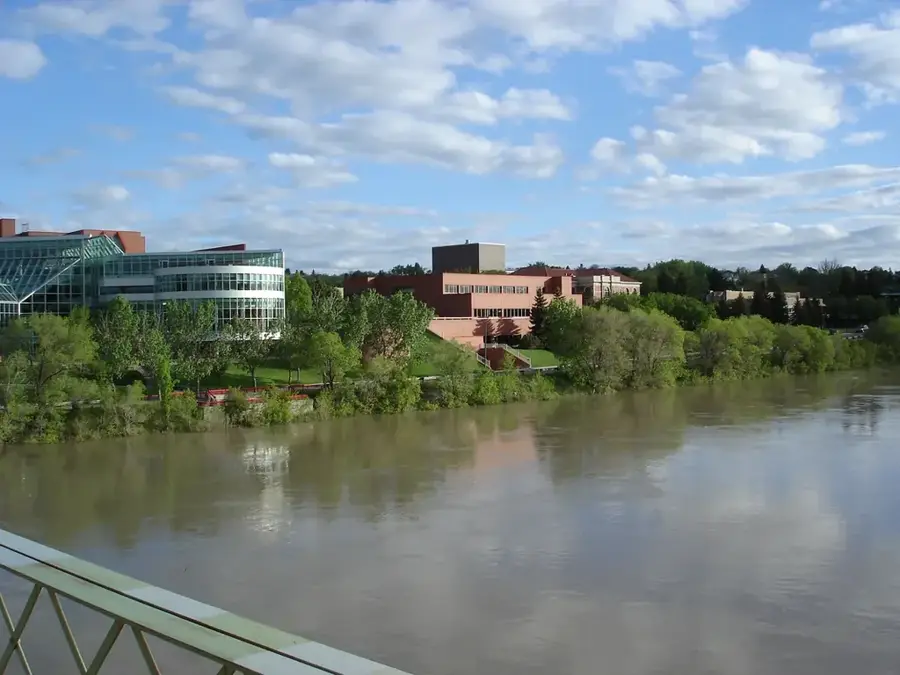
The Peace Bridge in Calgary is a striking pedestrian and cyclist bridge crossing the Bow River, connecting the downtown core to the neighborhood of Sunnyside. Designed by world-renowned Spanish architect Santiago Calatrava, the bridge was officially opened in 2012. Its distinctive double-helix steel design is painted in animated red and white, reflecting the colors of both the Canadian flag and the flag of Calgary. The bridge spans 126 meters without the use of any piers or supports in the riverbed, an engineering choice made to minimize the environmental impact on the Bow River's ecosystem. A glass canopy protects users from Alberta's varied weather while allowing natural light to illuminate the path. Despite initial political debate over its cost, the Peace Bridge has become a beloved icon of the city and one of Calgary's most photographed landmarks. It serves as a vital commuter link, carrying thousands of people every day between the city center and popular parklands.
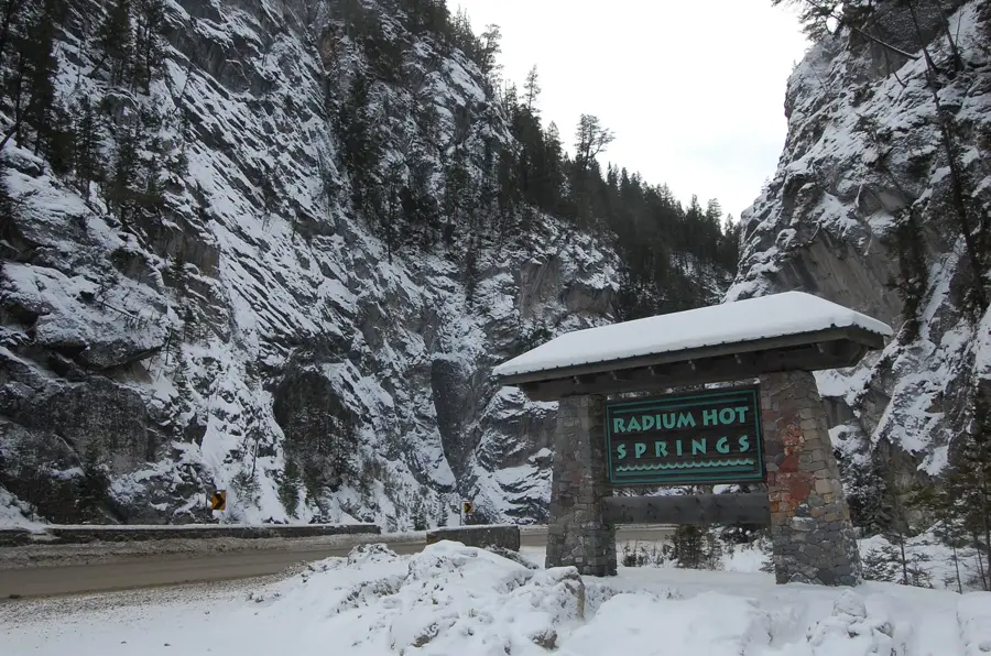
- Location: Canada
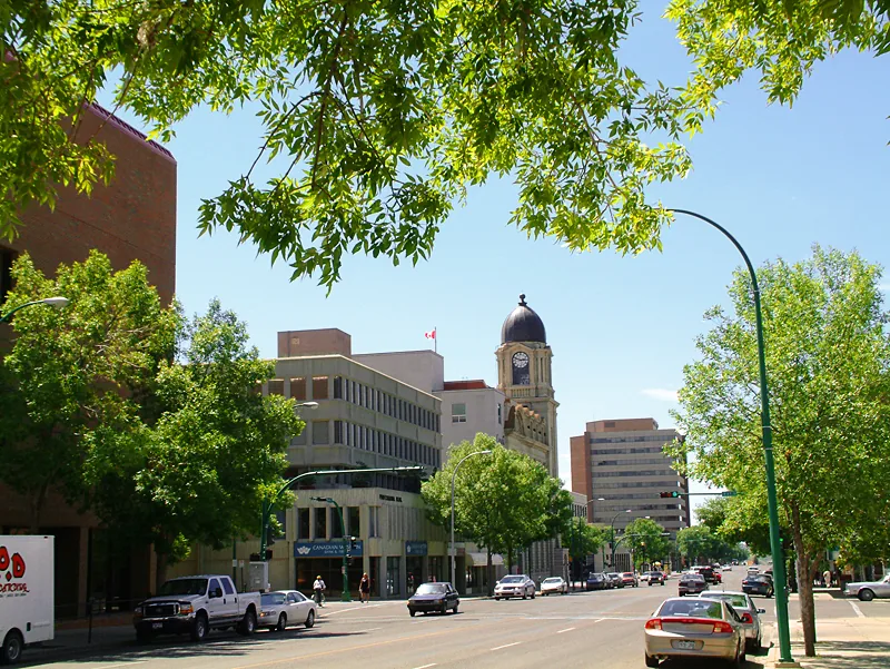
- Top sights: Downhill Karting · Zipline · Eckhardt-Gramatté Hall
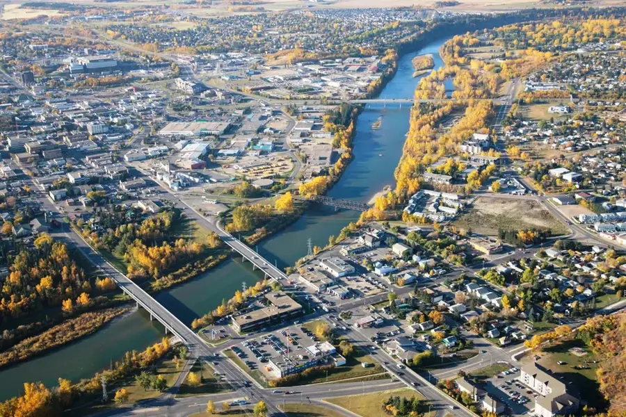
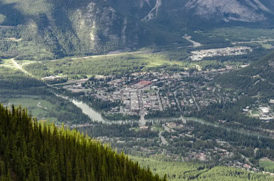
- Nearby: Airdrie (13 km)
Best time to visit & climate
The most pleasant time to visit is Jul–Sep.
| Jan | Feb | Mar | Apr | May | Jun | Jul | Aug | Sep | Oct | Nov | Dec | |
|---|---|---|---|---|---|---|---|---|---|---|---|---|
| Avg °C | -7 | -7 | -2 | 4 | 10 | 14 | 18 | 17 | 12 | 4 | -2 | -7 |
| Rain mm | 18 | 19 | 25 | 41 | 67 | 109 | 57 | 59 | 47 | 29 | 23 | 20 |
📋 Practical info
Geography
Facts
- Officially opened to the public on March 24, 2012.
- The bridge has a total length of 126 meters.
- Designed by acclaimed architect Santiago Calatrava.
- Built using a single span with no piers in the water.
- The steel structure weighs approximately 700 tonnes.
- Accommodates both pedestrian and dedicated bicycle lanes.
Explore nearby
Notable places around
Route planner — Car & Motorhome
Where do you start? We build the route here, with stops and country notes along the way.
© OpenStreetMap contributors · OpenRouteService
Sights in the town Peace Bridge (Calgary) (17)
Quickdraw Animation Society🎭 culture
Quickdraw Animation Society is an animation society near Peace Bridge.
Sights nearby
Frequently asked questions
Who designed the Peace Bridge?
Can cars drive across the bridge?
Which river does the bridge cross?
Why is it red and white?
Is the bridge lit at night?
Peace Bridge (Calgary): where is it located?
Peace Bridge (Calgary): what is there to see?
Peace Bridge (Calgary): when is the best time to visit?
Peace Bridge (Calgary): why is it worth visiting?

Nearby cities
History & landmarks


Nature

More places