Plizio Visual Lab
Cockscomb Range
Weather…
Water temperature…
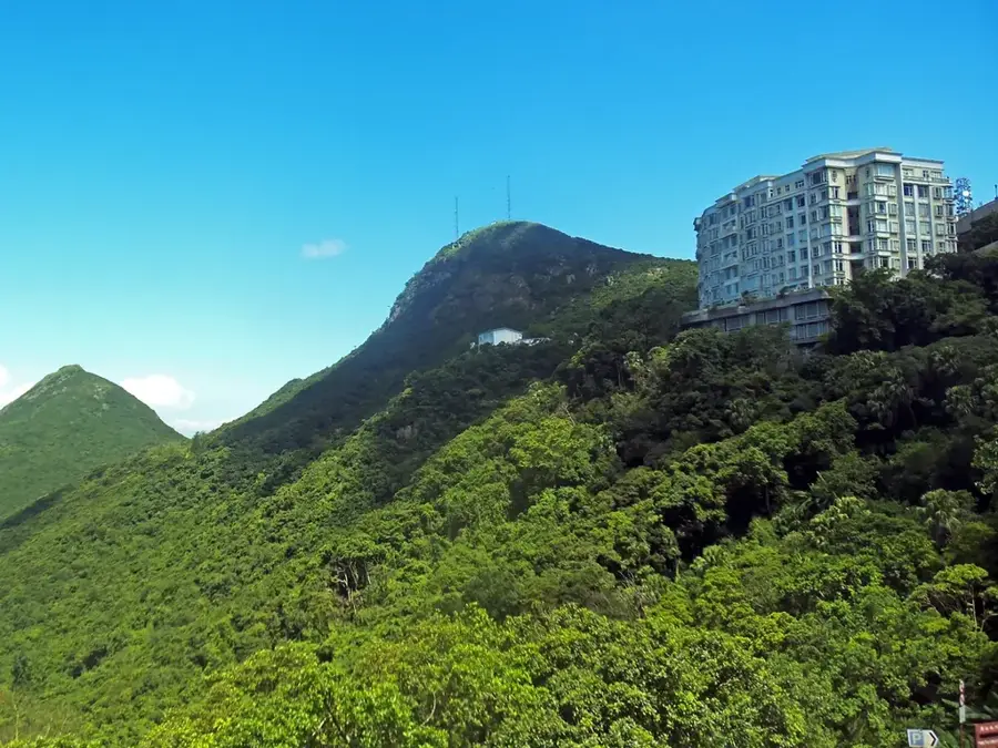
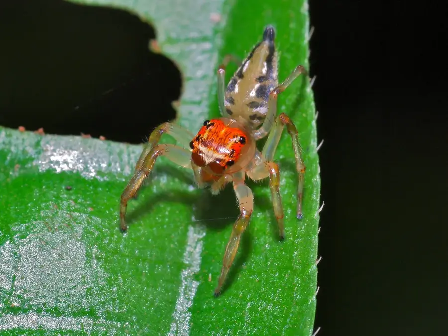
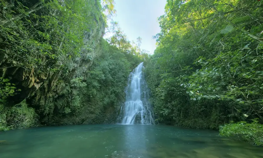
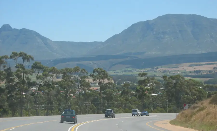
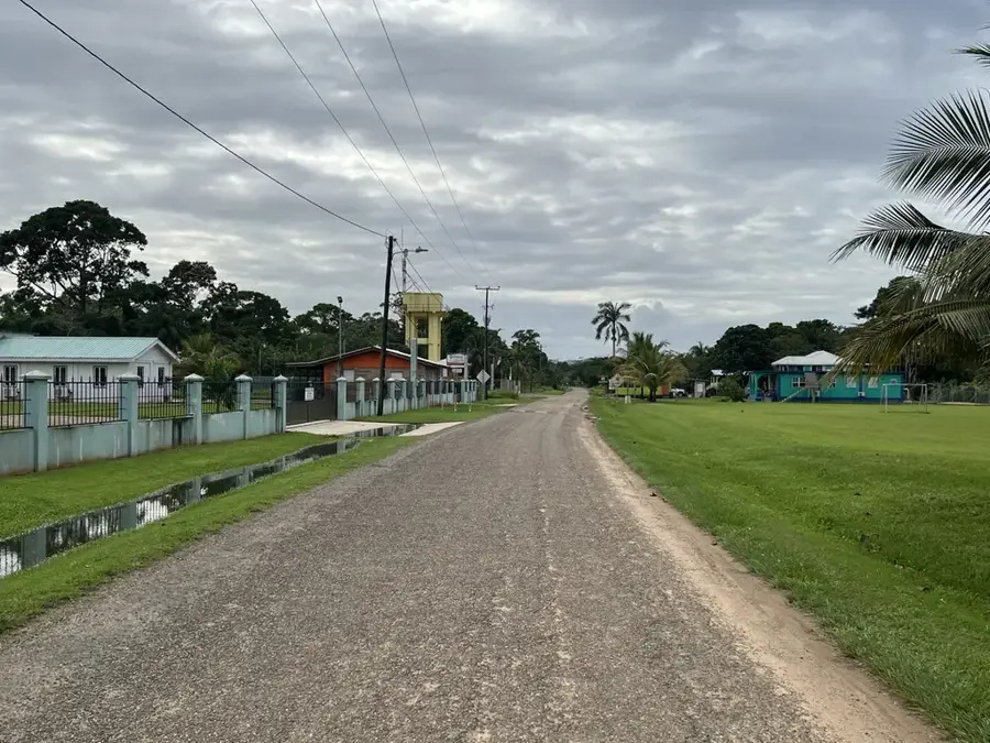
The Cockscomb Range is a spectacular segment of the Maya Mountains in southern Belize, famous for its jagged peaks and the world-renowned Cockscomb Basin Wildlife Sanctuary. The range derives its name from its distinctive profile, which resembles the comb of a rooster when viewed from the coast. It contains Victoria Peak, Belize's second-highest summit at 1,120 meters (3,675 feet), which is a designated National Monument. Covered in lush broadleaf tropical rainforest, the range serves as a critical watershed, feeding numerous rivers that flow toward the Caribbean Sea. In 1986, the area achieved global recognition as the world's first sanctuary specifically established for jaguar conservation. Today, it remains a vital habitat for all five of Belize's wild cat species, as well as over 300 species of birds and diverse flora, including mahogany and cedar. The terrain is characterized by steep ridges, deep valleys, and numerous scenic waterfalls like Antelope Falls. For outdoor enthusiasts, the Cockscomb Range provides some of the most challenging hiking and dramatic panoramic views in the entire country, symbolizing Belize's commitment to wilderness preservation.
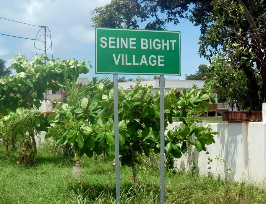
- Location: Belize
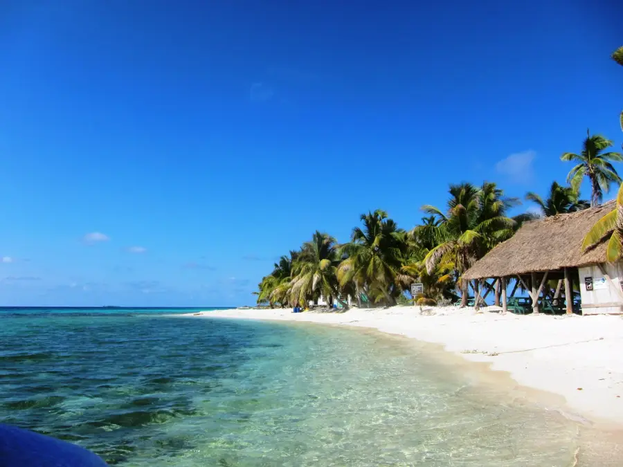
- Nearby: Blue Hole National Park (4 km)
Best time to visit & climate
The most pleasant time to visit is Jan–Mar.
| Jan | Feb | Mar | Apr | May | Jun | Jul | Aug | Sep | Oct | Nov | Dec | |
|---|---|---|---|---|---|---|---|---|---|---|---|---|
| Avg °C | 21 | 22 | 24 | 26 | 26 | 25 | 25 | 25 | 25 | 24 | 22 | 22 |
| Rain mm | 110 | 66 | 58 | 40 | 127 | 240 | 175 | 197 | 225 | 251 | 200 | 137 |
📋 Practical info
Geography
Facts
- Victoria Peak stands at 1,120 meters and is a protected National Monument.
- The sanctuary encompasses over 128,000 acres of tropical forest.
- It is home to one of the highest densities of jaguars in the world.
- The range is geologically composed of ancient Paleozoic sediments.
- Annual rainfall in the Cockscomb Basin can exceed 100 inches.
- Climbing Victoria Peak requires a permit and a licensed guide.
Explore nearby
Notable places around
Route planner — Car & Motorhome
Where do you start? We build the route here, with stops and country notes along the way.
© OpenStreetMap contributors · OpenRouteService
Sights nearby
Frequently asked questions
What is special about the Cockscomb Range?
Can you see jaguars?
Are there hiking trails?
Are there waterfalls?
What should you bring?
Cockscomb Range: where is it located?
Cockscomb Range: when is the best time to visit?
Cockscomb Range: why is it worth visiting?

Nearby cities

Nature
More places