Plizio Visual Lab
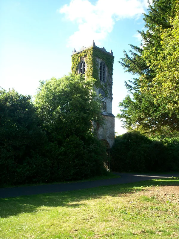
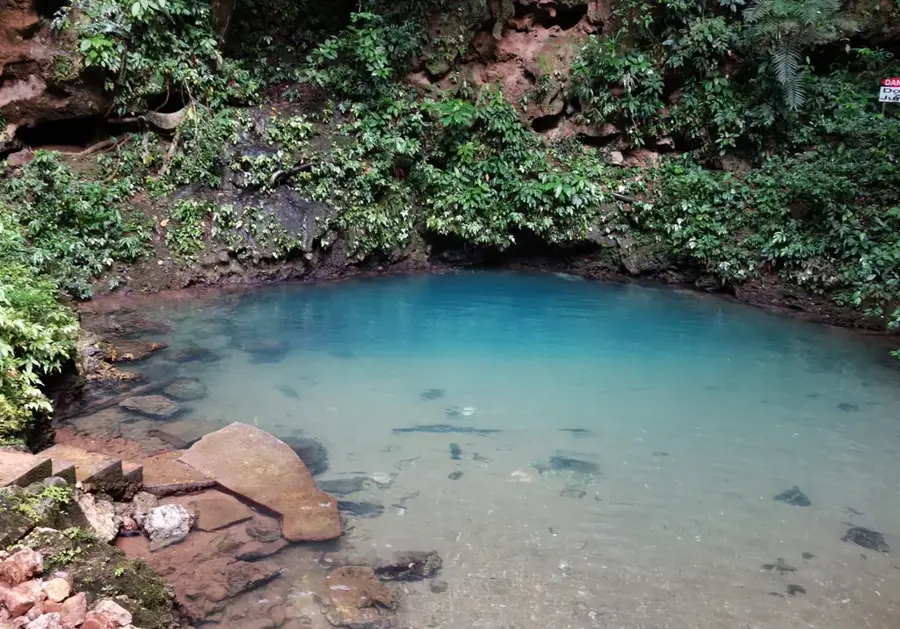
Maya Mountains

Weather…
Water temperature…
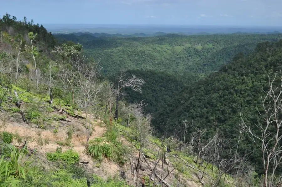
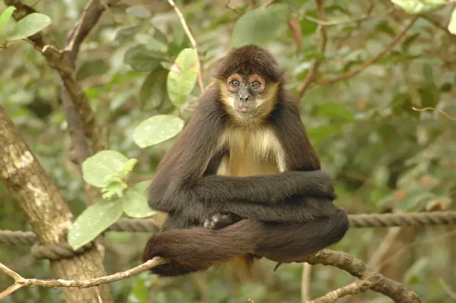
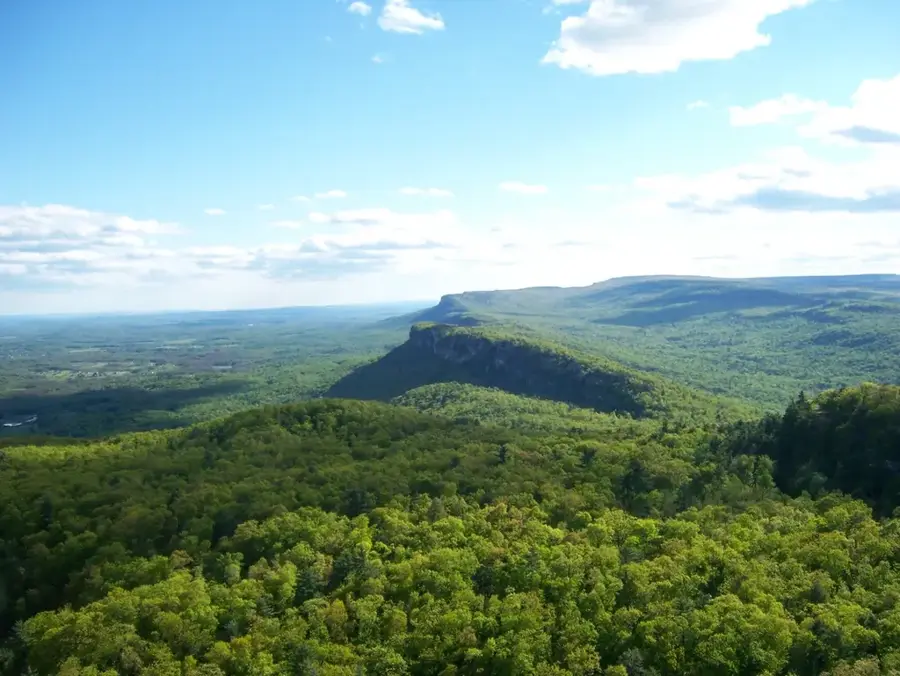
The Maya Mountains form the geological backbone of Belize, extending from the country's southern and western regions into Guatemala. This majestic range is composed predominantly of ancient granite and sedimentary rocks, hosting some of Central America's most pristine rainforests. The mountains are a critical watershed for numerous rivers that supply Belize with vital freshwater. Featuring rugged peaks, deep canyons, and spectacular waterfalls, the Maya Mountains offer an unparalleled habitat for rare species like the jaguar and the harpy eagle. Historically, the region was a major center of the Maya civilization, with traces of ancient cities and sacred caves still found deep within the jungle. The range is not just an imposing physical barrier but also a symbol of Belize's untamed natural beauty.
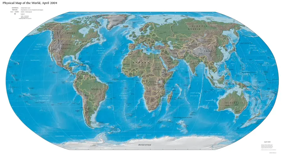
- Location: Belize
- Nearby: San Pablo (Orange Walk) (5 km)
Best time to visit & climate
The most pleasant time to visit is Feb–Apr.
| Jan | Feb | Mar | Apr | May | Jun | Jul | Aug | Sep | Oct | Nov | Dec | |
|---|---|---|---|---|---|---|---|---|---|---|---|---|
| Avg °C | 23 | 24 | 25 | 27 | 28 | 27 | 26 | 27 | 27 | 26 | 24 | 23 |
| Rain mm | 121 | 82 | 68 | 48 | 130 | 240 | 191 | 205 | 237 | 252 | 217 | 143 |
📋 Practical info
Geography
Explore nearby
Notable places around
Route planner — Car & Motorhome
Where do you start? We build the route here, with stops and country notes along the way.
© OpenStreetMap contributors · OpenRouteService
Sights nearby
Frequently asked questions
What are the Maya Mountains?
How high is the highest peak?
Are there hiking trails there?
What is special about their geology?
When is the weather most stable?
Maya Mountains: where is it located?
Maya Mountains: when is the best time to visit?
Maya Mountains: why is it worth visiting?

More places