Plizio Visual Lab
Sittee River Forest Reserve
Weather…
Water temperature…
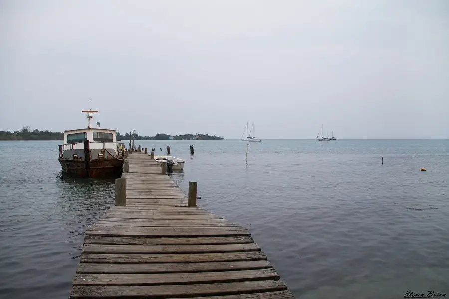
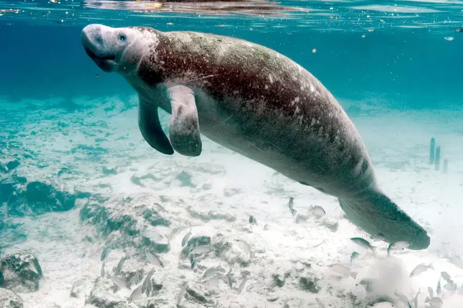
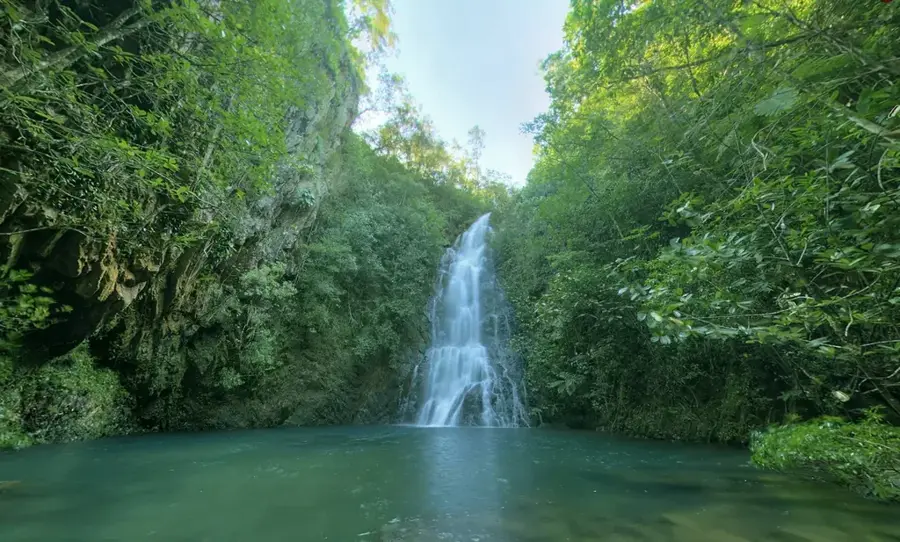
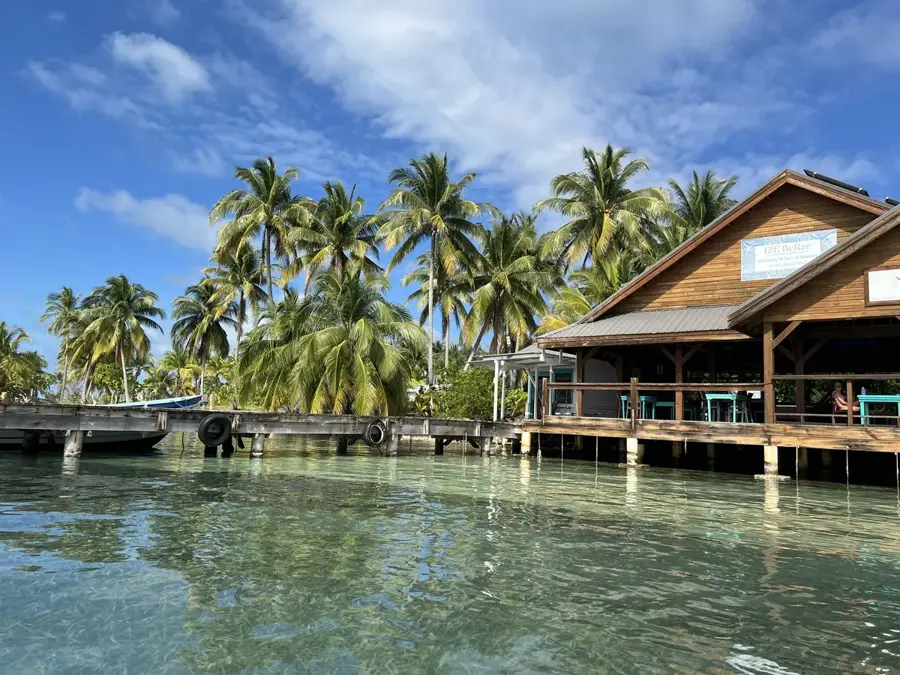
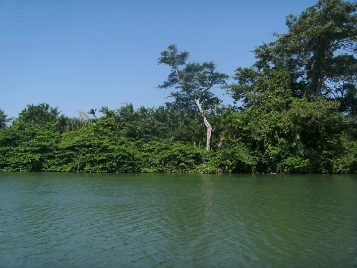
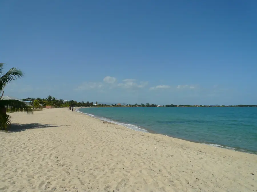
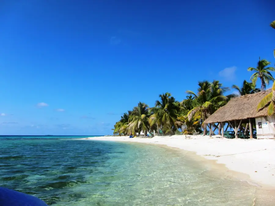
The Sittee River Forest Reserve stretches along the banks of the Sittee River in the Stann Creek District of Belize. Established to protect the region's valuable gallery forests and adjacent mangrove ecosystems, the reserve plays a crucial role in maintaining local hydrological stability. Its topography ranges from alluvial plains to gentle foothills covered in dense subtropical broadleaf forest. The Sittee River itself is noted for being one of the deepest rivers in Belize, providing a unique habitat for West Indian manatees, crocodiles, and various fish species that thrive in its mix of fresh and brackish waters. The flora includes prized hardwood species such as mahogany and cedar, which were historically central to the colonial timber industry. Currently, management focus has shifted toward ecotourism and biodiversity preservation, as the area acts as a vital buffer zone for the Maya Mountains. The riparian corridors are especially famous for their birdlife, including kingfishers and herons, making it a key site for birdwatching.
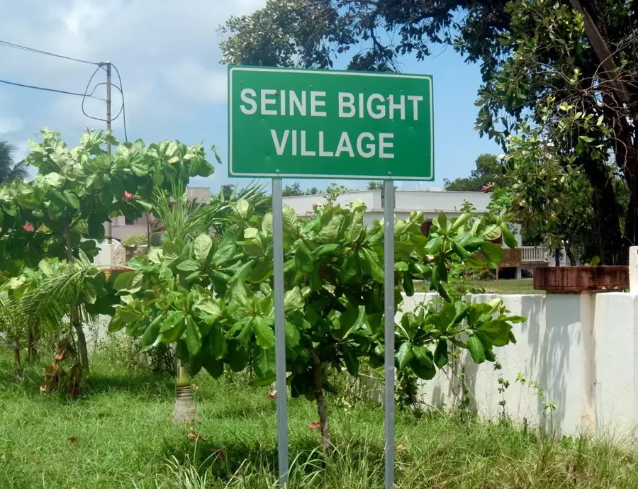
- Location: Belize
- Nearby: Sand Hill (5 km)
Best time to visit & climate
The most pleasant time to visit is Jan–Mar.
| Jan | Feb | Mar | Apr | May | Jun | Jul | Aug | Sep | Oct | Nov | Dec | |
|---|---|---|---|---|---|---|---|---|---|---|---|---|
| Avg °C | 21 | 22 | 24 | 26 | 26 | 25 | 25 | 25 | 25 | 24 | 22 | 22 |
| Rain mm | 110 | 66 | 58 | 40 | 127 | 240 | 175 | 197 | 225 | 251 | 200 | 137 |
📋 Practical info
Geography
Facts
- The reserve was originally established in 1954 under British colonial rule.
- The Sittee River is recognized as one of the deepest navigable rivers in Belize.
- The protected area encompasses approximately 37,000 acres (about 150 square kilometers).
- The river mouth features some of the tallest mangrove stands in Central America.
- Archaeological evidence of ancient Maya settlements has been discovered along the river.
- The reserve serves as a critical corridor for jaguars moving between the mountains and the sea.
Explore nearby
Notable places around
Route planner — Car & Motorhome
Where do you start? We build the route here, with stops and country notes along the way.
© OpenStreetMap contributors · OpenRouteService
Sights nearby
Frequently asked questions
What can you do at the Sittee River?
What is the terrain like?
Are there campsites?
When is the best time to visit?
Can you see manatees there?
Sittee River Forest Reserve: where is it located?
Sittee River Forest Reserve: when is the best time to visit?
Sittee River Forest Reserve: why is it worth visiting?

Nearby cities


Nature
More places