Plizio Visual Lab
Sittee River Foothills

Weather…
Water temperature…
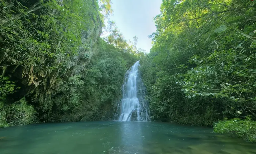
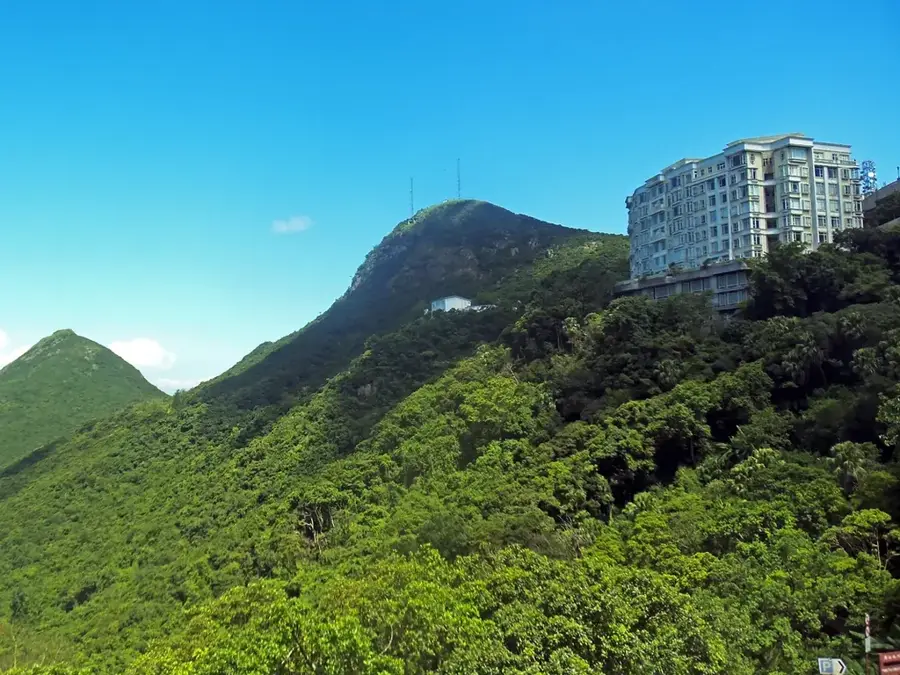
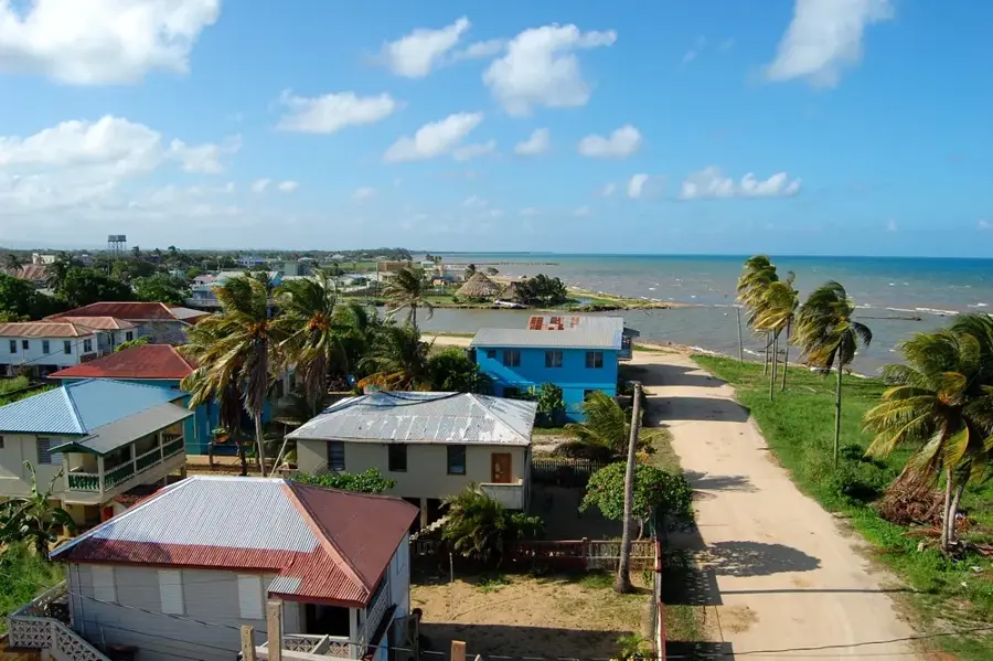
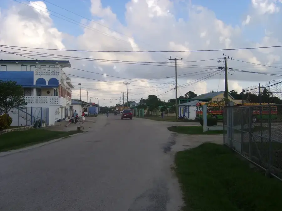
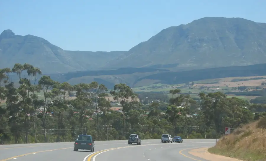
The Sittee River Foothills are a transitional zone of rolling hills situated between the coastal plains and the main massif of the Maya Mountains in the Stann Creek District of Belize. This landscape is shaped by the Sittee River, which flows out of the mountains and meanders through the fertile valleys of the foothills. The region is a patchwork of tropical broadleaf forest, citrus orchards, and small villages, representing a blend of natural and agricultural landscapes. The foothills are geologically complex, with a mix of limestone and older sedimentary rocks creating varied soil types that support both diverse forests and farming. This area serves as an important buffer zone for the Cockscomb Basin Wildlife Sanctuary and is a vital corridor for wildlife moving between the mountains and the coast.
- Location: Belize
- Nearby: Caledonia (Corozal) (4 km)
Best time to visit & climate
The most pleasant time to visit is Jan–Mar.
| Jan | Feb | Mar | Apr | May | Jun | Jul | Aug | Sep | Oct | Nov | Dec | |
|---|---|---|---|---|---|---|---|---|---|---|---|---|
| Avg °C | 21 | 22 | 24 | 26 | 26 | 25 | 25 | 25 | 25 | 24 | 22 | 22 |
| Rain mm | 110 | 66 | 58 | 40 | 127 | 240 | 175 | 197 | 225 | 251 | 200 | 137 |
📋 Practical info
Geography
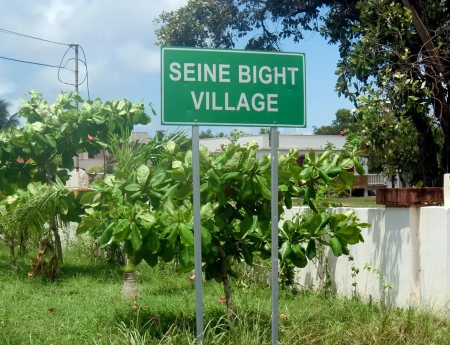
Explore nearby
Notable places around
Route planner — Car & Motorhome
Where do you start? We build the route here, with stops and country notes along the way.
© OpenStreetMap contributors · OpenRouteService
Sights nearby
Frequently asked questions
What are the Sittee River foothills?
What is grown in this region?
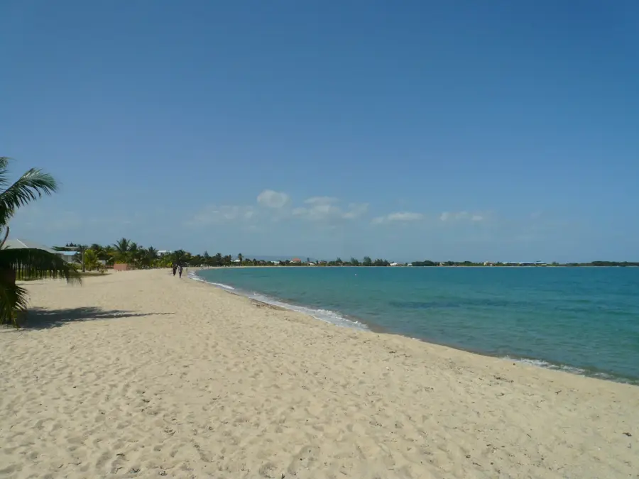
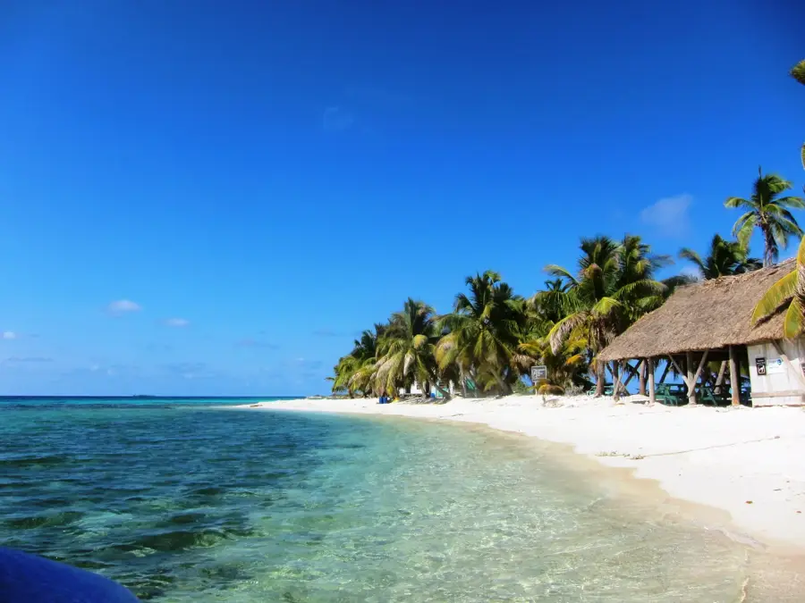
Can you swim in the Sittee River?
What animals live here?
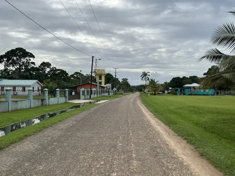
Is the region easily accessible by car?
Sittee River Foothills: where is it located?
Sittee River Foothills: when is the best time to visit?
Sittee River Foothills: why is it worth visiting?

Nearby cities


Nature
More places