Plizio Visual Lab
Mullins River Hills

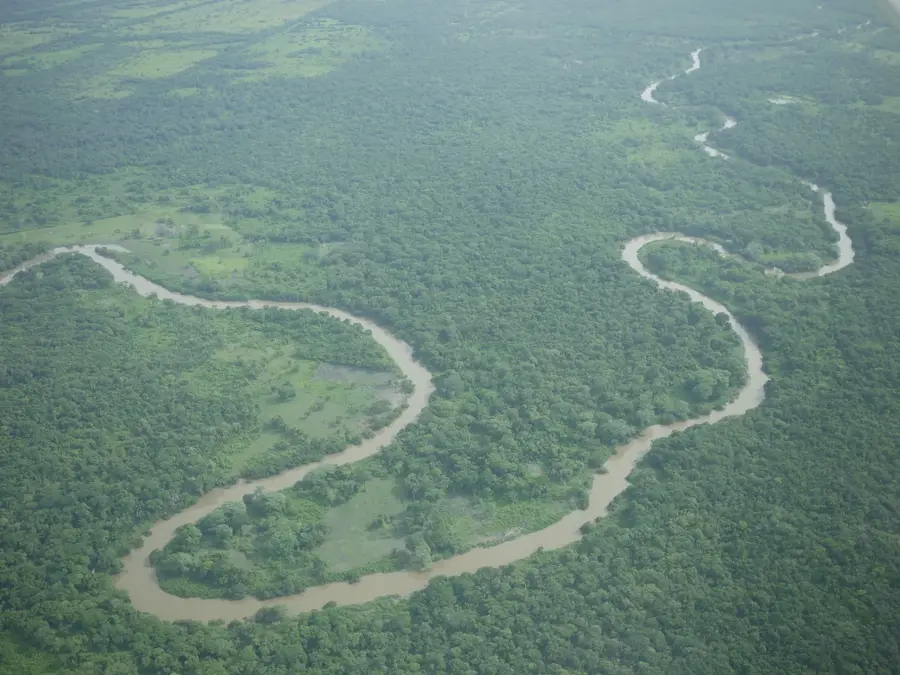
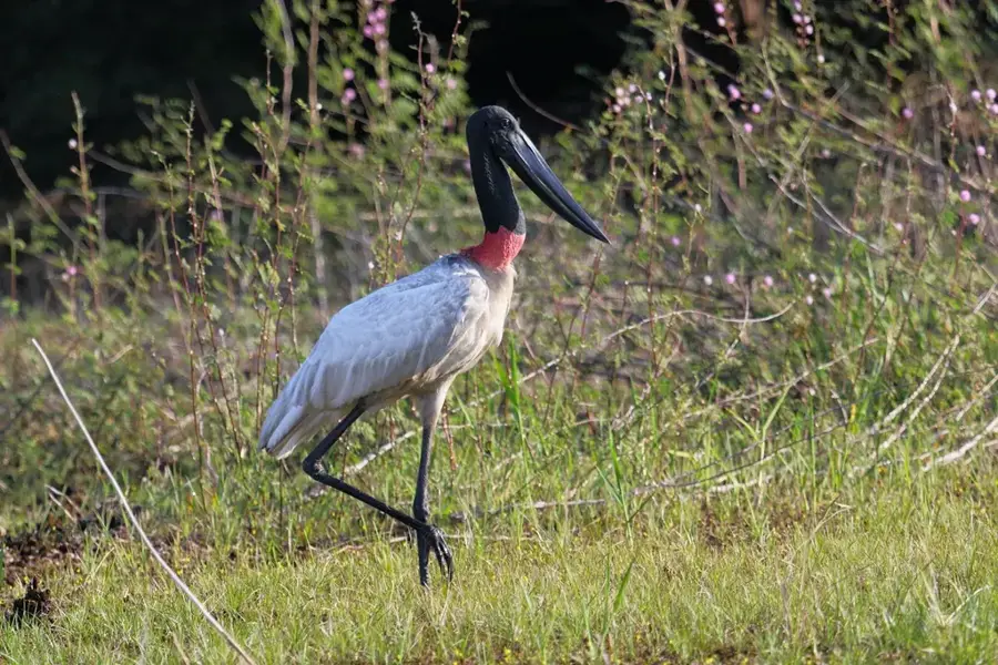
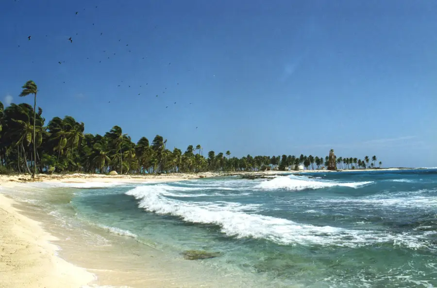
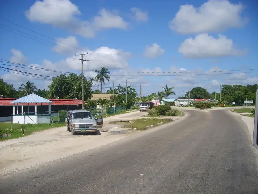
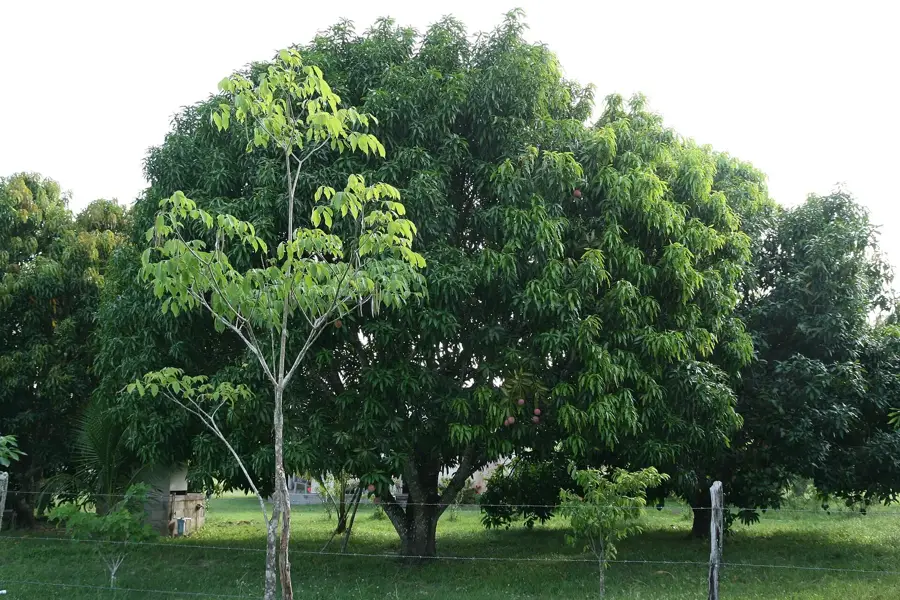
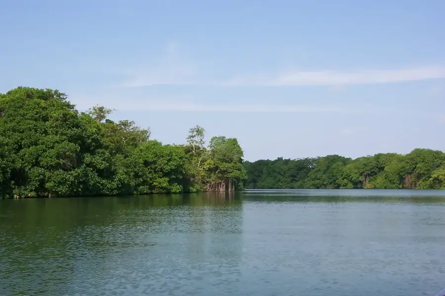
The Mullins River Hills are a series of low, rugged limestone hills located in the Stann Creek District, forming part of the transition zone between the coastal plain and the Maya Mountains. The Mullins River carves a path through this hilly terrain, creating small, fertile valleys. The landscape is a mosaic of dense broadleaf forest, secondary growth, and small-scale agricultural plots. This area is less developed than the nearby Stann Creek Valley, and its forests provide an important refuge for wildlife. The hills themselves contain numerous small caves and sinkholes, typical of a tropical karst environment. The region is sparsely populated, with a few small villages situated along the river, where residents engage in fishing and subsistence farming. The Mullins River Hills represent an important area of intact habitat close to the more developed coastal regions.
- Location: Belize
- Nearby: Riversdale (4 km)
Best time to visit & climate
The most pleasant time to visit is Jan–Mar.
| Jan | Feb | Mar | Apr | May | Jun | Jul | Aug | Sep | Oct | Nov | Dec | |
|---|---|---|---|---|---|---|---|---|---|---|---|---|
| Avg °C | 21 | 22 | 24 | 26 | 26 | 25 | 25 | 25 | 25 | 24 | 22 | 22 |
| Rain mm | 110 | 66 | 58 | 40 | 127 | 240 | 175 | 197 | 225 | 251 | 200 | 137 |
📋 Practical info
Geography
Explore nearby
Notable places around
Route planner — Car & Motorhome
Where do you start? We build the route here, with stops and country notes along the way.
© OpenStreetMap contributors · OpenRouteService
Sights nearby
Frequently asked questions
What are the Mullins River Hills?
What is the vegetation like in these hills?
Are the hills inhabited?
Can you go hiking there?
What animals live there?
Mullins River Hills: where is it located?
Mullins River Hills: when is the best time to visit?
Mullins River Hills: why is it worth visiting?

Nearby cities


Nature
More places