Plizio Visual Lab
Manatee Forest Reserve
Weather…
Water temperature…
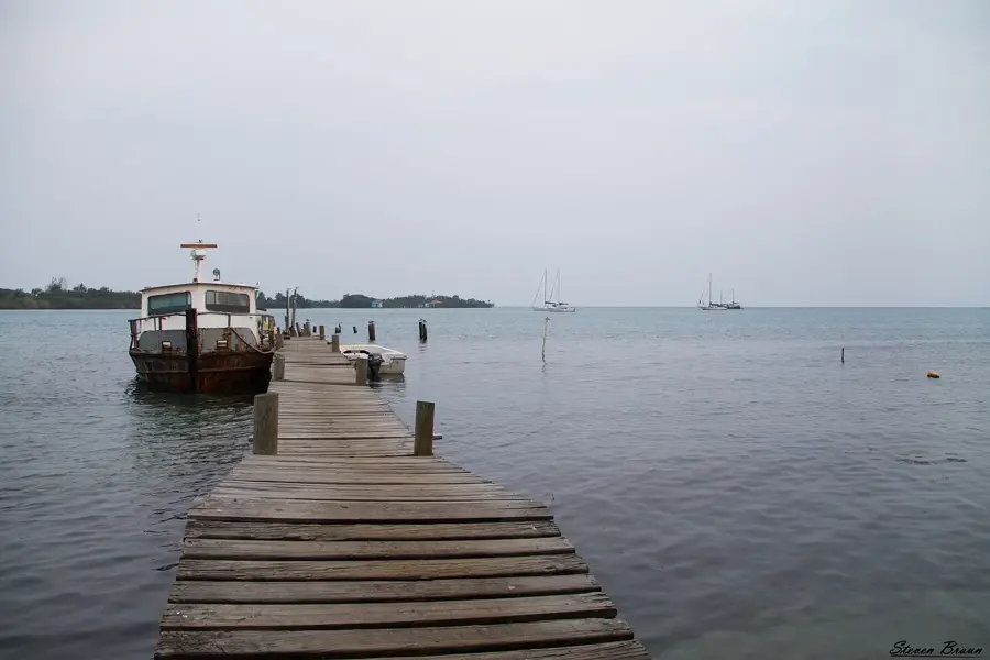
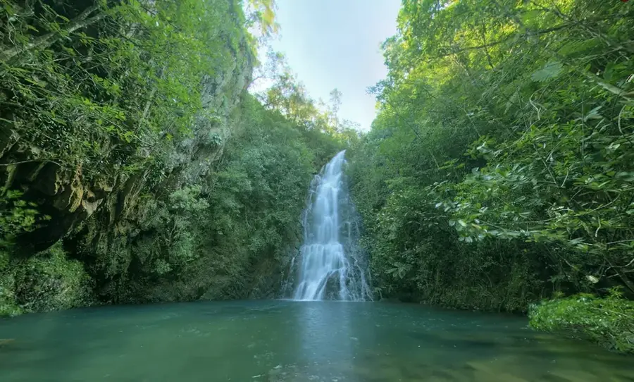
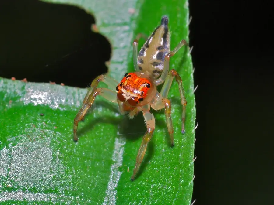
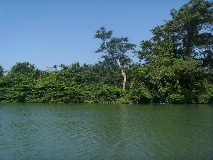
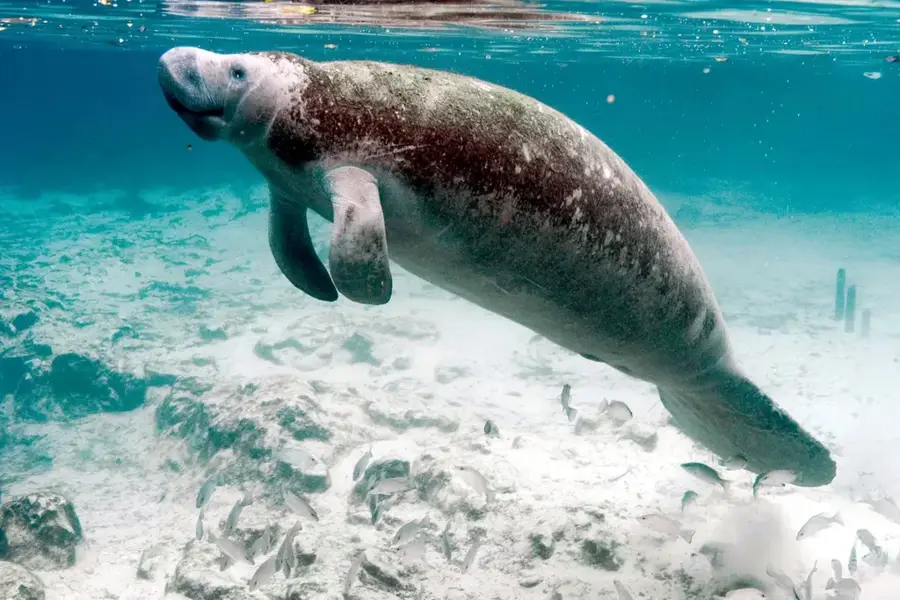
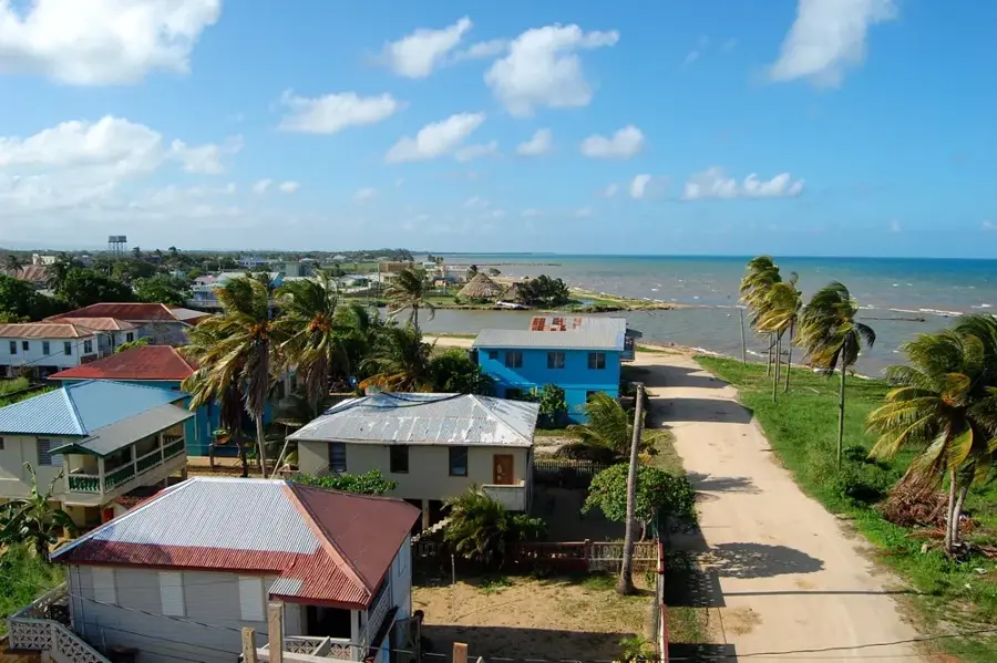
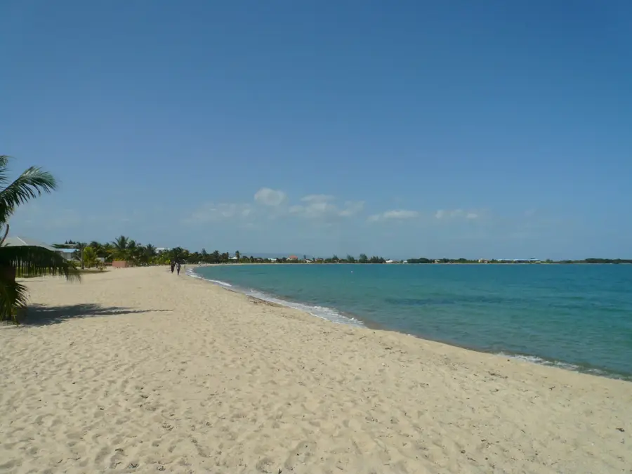
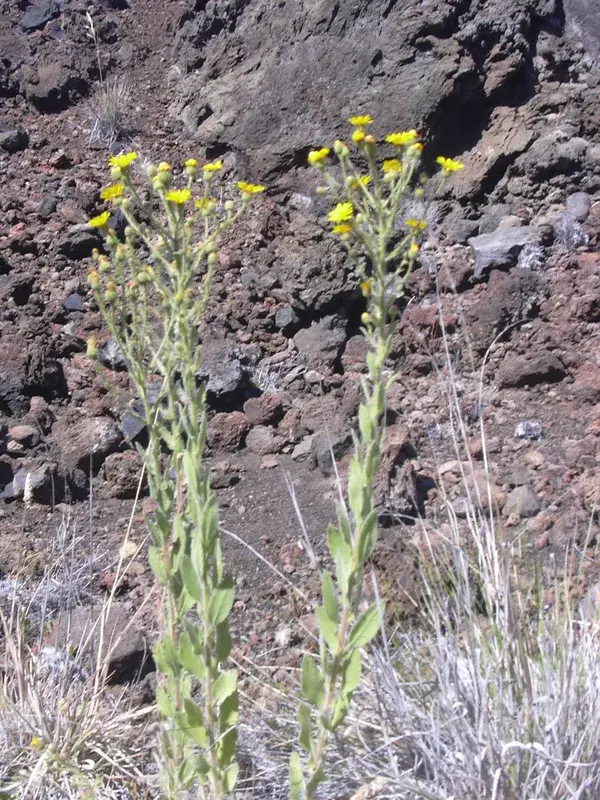
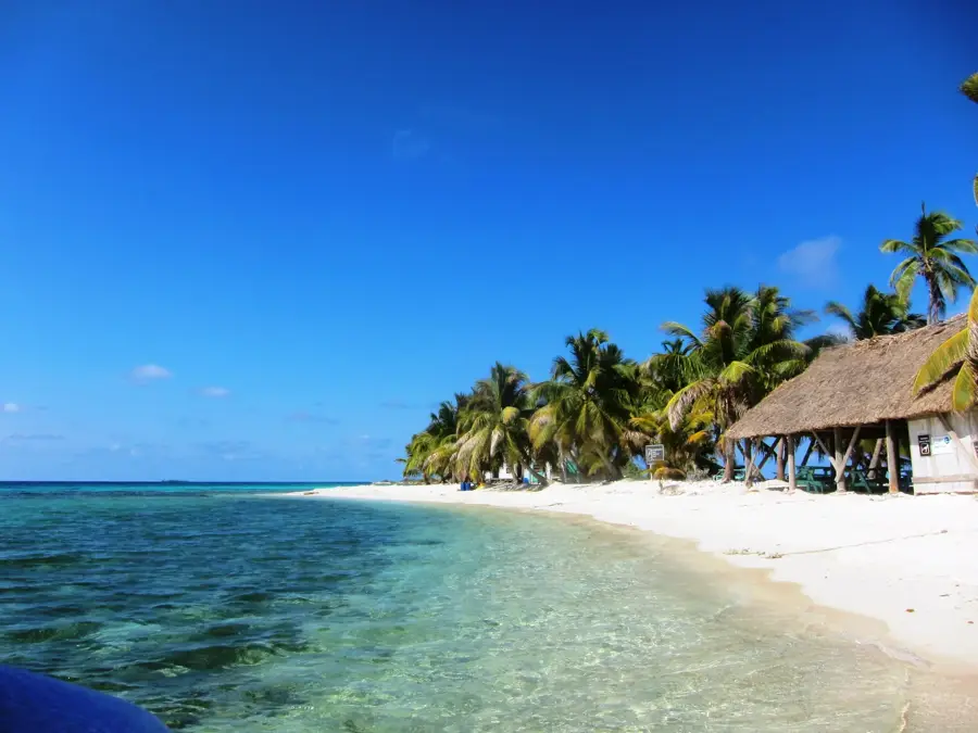
The Manatee Forest Reserve in the Belize District is an important protected area that encompasses a diverse landscape of tropical broadleaf forest, savannas, and wetlands. It is part of the larger Manatee protected areas complex and connects the coastal plains with the Maya Mountains. The reserve is named after the West Indian Manatee, which is found in the area's rivers and lagoons, particularly in the nearby Gales Point Manatee Wildlife Sanctuary. The forest itself is rich in biodiversity, hosting a variety of wildlife, including jaguars, tapirs, monkeys, and countless bird species. The reserve is also known for its complex cave systems, some of which contain important Maya archaeological sites. The conservation of the Manatee Forest Reserve is crucial for protecting watersheds and maintaining the ecological corridors that allow wildlife to move between the coastal and mountain regions.
- Location: Belize
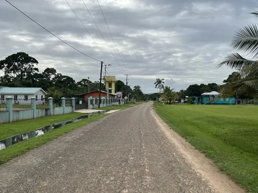
- Nearby: Gardenia (4 km)
Best time to visit & climate
The most pleasant time to visit is Jan–Mar.
| Jan | Feb | Mar | Apr | May | Jun | Jul | Aug | Sep | Oct | Nov | Dec | |
|---|---|---|---|---|---|---|---|---|---|---|---|---|
| Avg °C | 21 | 22 | 24 | 26 | 26 | 25 | 25 | 25 | 25 | 24 | 22 | 22 |
| Rain mm | 110 | 66 | 58 | 40 | 127 | 240 | 175 | 197 | 225 | 251 | 200 | 137 |
📋 Practical info
Geography
Facts
- Covers approximately 90,000 acres of coastal wetlands and pine savanna.
- Protects the critical habitat of the endangered West Indian Manatee.
- Contains a significant portion of the Northern Lagoon and Southern Lagoon systems.
- The reserve is a prime habitat for the Jabiru Stork, the largest bird in the Americas.
- Includes diverse vegetation types, from mangrove swamps to oak ridges.
- Vital for the protection of the Belize City and Gales Point watersheds.
- The area is popular for eco-tours, birdwatching, and catch-and-release fishing.
Explore nearby
Notable places around
Route planner — Car & Motorhome
Where do you start? We build the route here, with stops and country notes along the way.
© OpenStreetMap contributors · OpenRouteService
Sights nearby
Frequently asked questions
What is the Manatee Forest Reserve?
Are there really manatees there?
What can you do there?
How do you reach the reserve?
Are there hiking trails there?
Manatee Forest Reserve: where is it located?
Manatee Forest Reserve: when is the best time to visit?
Manatee Forest Reserve: why is it worth visiting?

Nearby cities


Nature
More places