Plizio Visual Lab
Exuma Cays Karst Topography

Weather…
Water temperature…
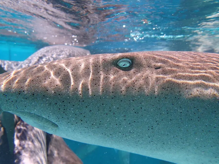
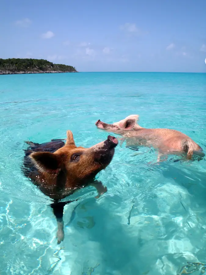
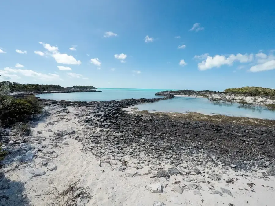
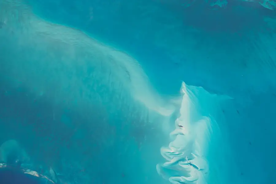
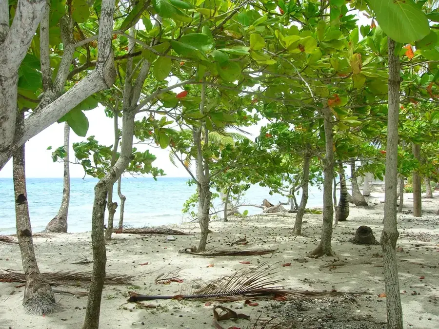
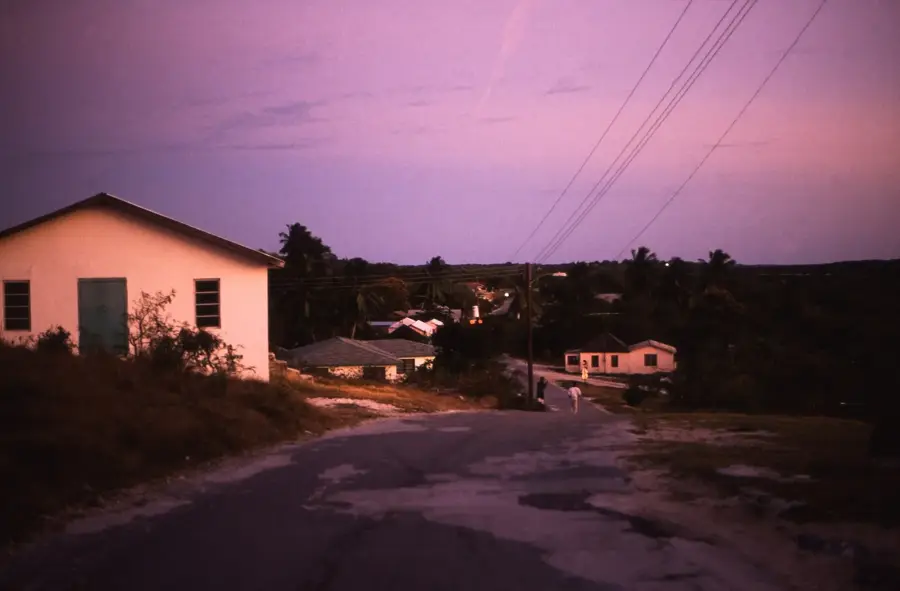
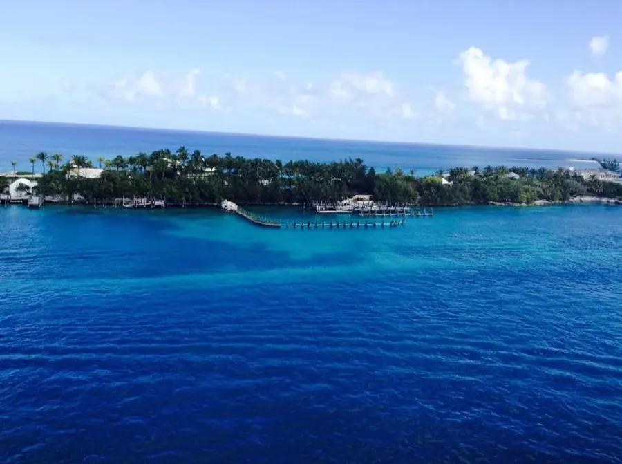
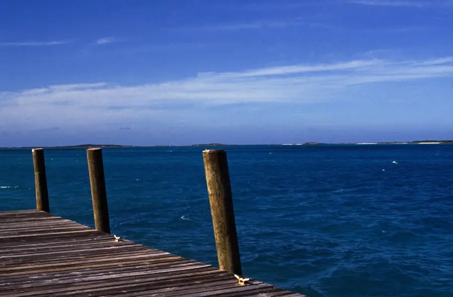
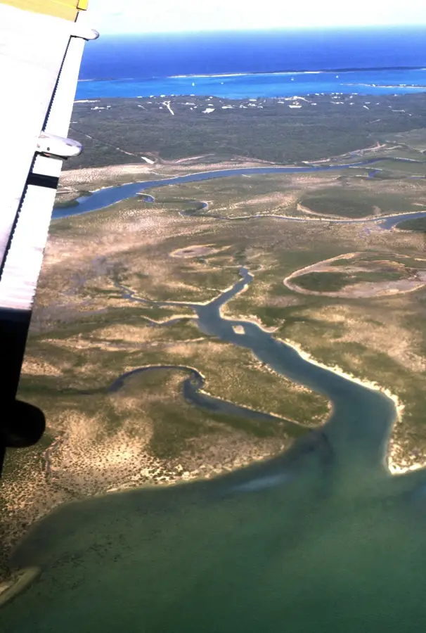
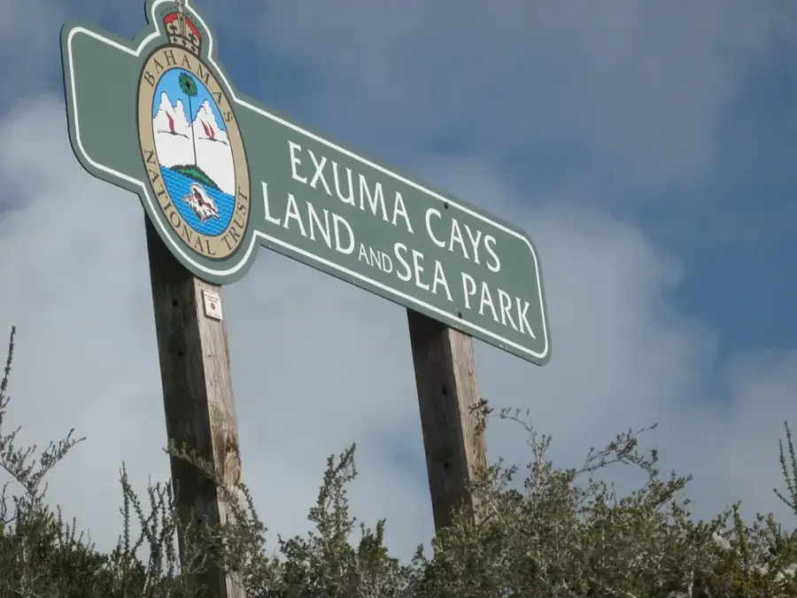
The Exuma Cays are an archipelago of 365 small islands and islets stretching over 190 kilometers across the Bahama Banks. Their relief is defined by classic karst topography, a geological landscape formed from the dissolution of soluble rocks such as limestone. This process has created a complex network of sinkholes, underwater caves, and blue holes that are world-renowned for their clarity and depth. The Exuma Cays Land and Sea Park, established in 1958, was the first protected area of its kind and covers 455 square kilometers. Geologically, these cays are composed of oolitic limestone that accumulated during periods of higher sea levels. The rugged terrain supports specialized vegetation and provides critical nesting sites for migratory birds and indigenous iguanas. Historically, the cays served as hideouts for pirates and later as bases for salt production and sponge fishing. Today, the karst features attract scientific researchers studying marine biology and hydrology. The interplay between the porous rock and the surrounding ocean creates a dynamic environment that is essential to the health of the local coral reef systems.
- Location: Bahamas
- Nearby: Staniel Cay (6 km)
Best time to visit & climate
The most pleasant time to visit is Jan–Mar.
| Jan | Feb | Mar | Apr | May | Jun | Jul | Aug | Sep | Oct | Nov | Dec | |
|---|---|---|---|---|---|---|---|---|---|---|---|---|
| Avg °C | 24 | 24 | 24 | 25 | 26 | 28 | 29 | 29 | 29 | 28 | 26 | 25 |
| Rain mm | 23 | 19 | 21 | 34 | 86 | 95 | 67 | 74 | 92 | 92 | 47 | 24 |
📋 Practical info
Geography
Facts
- The Exuma Cays archipelago consists of exactly 365 islands and cays.
- The Exuma Cays Land and Sea Park was established in 1958.
- The park covers an area of approximately 176 square miles (455 sq km).
- Karst dissolution processes have occurred over the last 125,000 years.
- Many blue holes in the area reach depths exceeding 100 meters.
- The cays are part of the larger Great Bahama Bank carbonate platform.
Explore nearby
Notable places around
Route planner — Car & Motorhome
Where do you start? We build the route here, with stops and country notes along the way.
© OpenStreetMap contributors · OpenRouteService
Sights nearby
Frequently asked questions
What does karst topography mean in the Exumas?
Are there famous caves?
Are the rocks sharp?
Can you dive in the Blue Holes?
How were these islands formed?
Exuma Cays Karst Topography: where is it located?
Exuma Cays Karst Topography: when is the best time to visit?
Exuma Cays Karst Topography: why is it worth visiting?

Nearby cities


History & landmarks

More places