Plizio Visual Lab
Fish Cays (Exuma) Relief
Weather…
Water temperature…
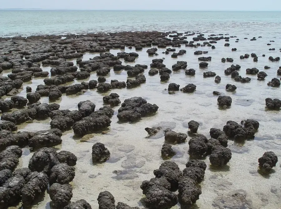
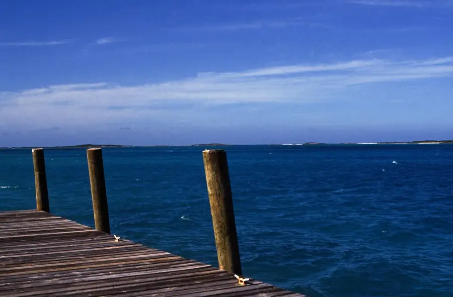
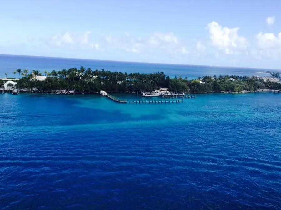
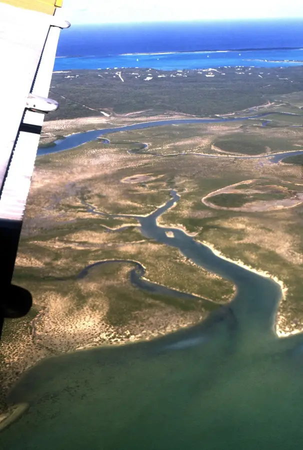
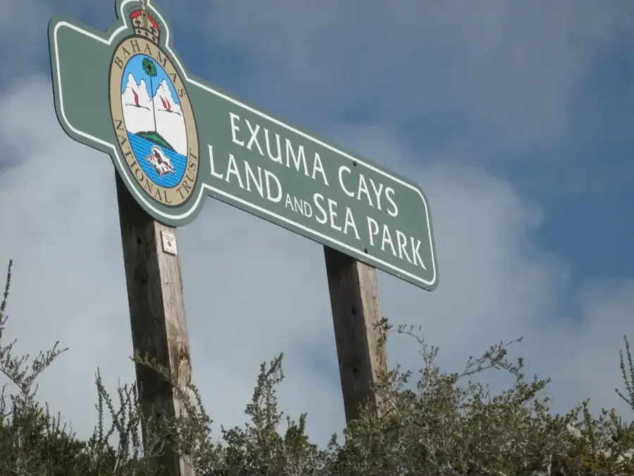
The Fish Cays in the Exumas are a group of small islands and coral reefs that exemplify the complex relief of the Bahamas Bank. Geologically, these cays are the result of millennia of limestone deposition and sea-level fluctuations, resulting in a jagged coastline with numerous underwater caves and shallow lagoons. The surroundings are characterized by crystal-clear, shallow water that supports high marine biodiversity, including corals, seagrass meadows, and numerous fish species. This region is a vital part of the Exuma Cays Land and Sea Park, the first national park of its kind in the world, established in 1958. The Fish Cays serve as important nesting sites for seabirds and provide habitat for the endangered Bahamian rock iguanas. For navigation, the cays pose a challenge due to shifting water depths and hidden reefs, which has helped limit human impact. The relief of the islands is low, reaching only a few meters above sea level, making them particularly vulnerable to erosion from tropical storms. Today, they are a destination for eco-oriented tourism and scientific research in marine biology.
- Location: Bahamas
- Nearby: Ramsey (6 km)
Best time to visit & climate
The most pleasant time to visit is Jan–Mar.
| Jan | Feb | Mar | Apr | May | Jun | Jul | Aug | Sep | Oct | Nov | Dec | |
|---|---|---|---|---|---|---|---|---|---|---|---|---|
| Avg °C | 24 | 24 | 24 | 25 | 26 | 28 | 29 | 29 | 29 | 28 | 26 | 25 |
| Rain mm | 23 | 19 | 21 | 34 | 86 | 95 | 67 | 74 | 92 | 92 | 47 | 24 |
📋 Practical info
Geography
Facts
- The Fish Cays are located within the Exuma island chain, which consists of over 360 islands.
- They are part of the Exuma Cays Land and Sea Park, established in 1958.
- The relief is composed almost entirely of Pleistocene limestone.
- Water depth in the lagoons is often less than 2 meters.
- The cays are habitat for the endangered Exuma Island rock iguana (Cyclura cychlura figginsi).
- The surrounding waters are famous for visibility of up to 30 meters.
Explore nearby
Notable places around
Route planner — Car & Motorhome
Where do you start? We build the route here, with stops and country notes along the way.
© OpenStreetMap contributors · OpenRouteService
Sights nearby
Frequently asked questions
What is the Fish Cays relief?
Can you go birdwatching there?
Is the water suitable for swimming?
Is there any shade on Fish Cays?
How far is it from Great Exuma?
Fish Cays (Exuma) Relief: where is it located?
Fish Cays (Exuma) Relief: when is the best time to visit?
Fish Cays (Exuma) Relief: why is it worth visiting?

Nearby cities


History & landmarks


More places