Plizio Visual Lab
Aripo Savannas
Weather…
Water temperature…
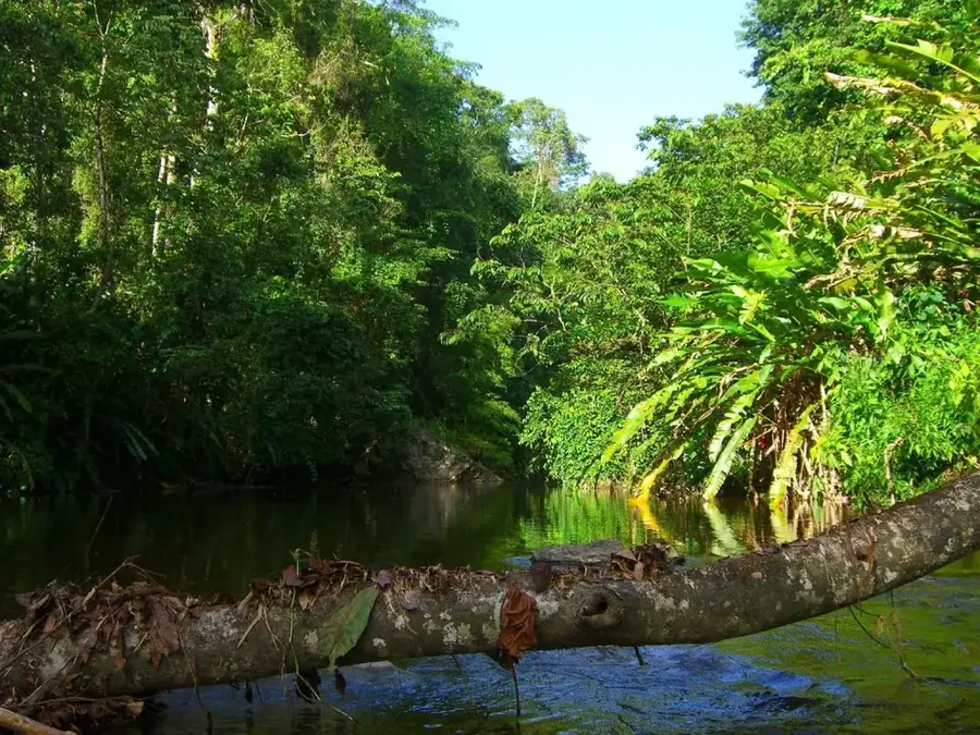
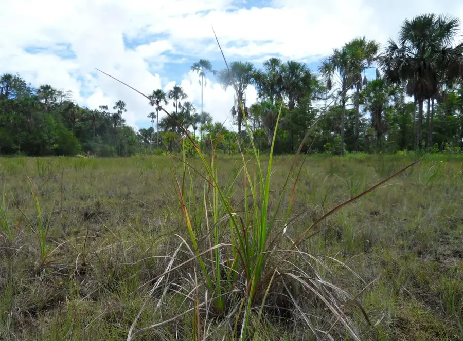
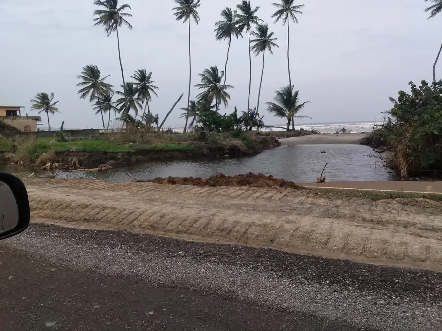
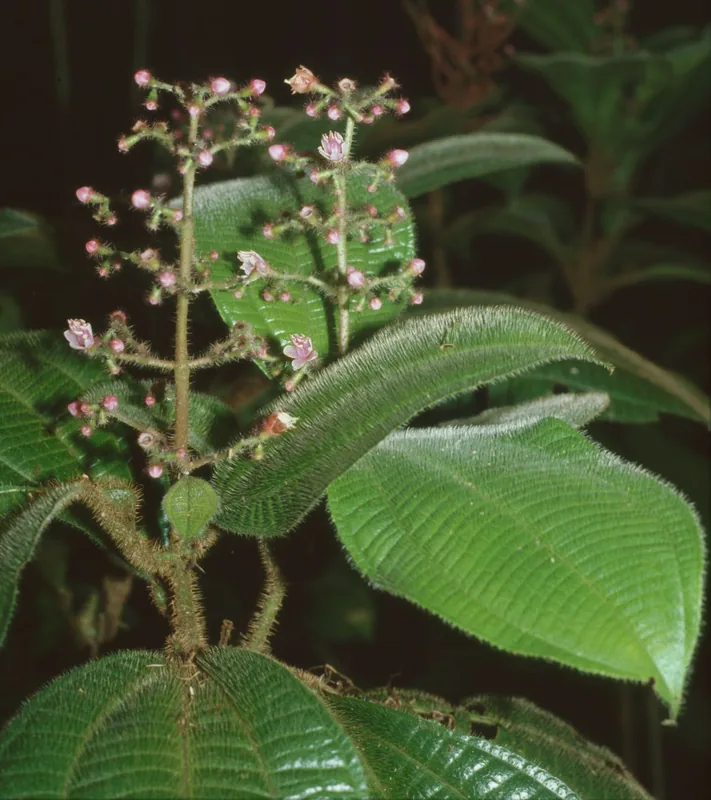
The Aripo Savannas is a strictly protected scientific reserve located in eastern Trinidad, representing the country's last remaining example of a natural lowland savanna. Spanning approximately 1,800 hectares, the area is characterized by a unique ecosystem that thrives on extremely nutrient-poor, acidic soils. These soils possess an impermeable clay layer that causes waterlogging during the rainy season and extreme desiccation during the dry months. Such harsh conditions have led to the evolution of specialized flora, including endemic orchids, carnivorous bladderworts, and rare grasses. The open savanna is fringed by marsh forests dominated by the iconic Moriche palms. Due to its immense ecological significance, the site was designated as a scientific reserve in 1987. Public access is highly restricted to protect the fragile vegetation from trampling and illegal wildfires. The Aripo Savannas remains a critical destination for botanical research and geological studies in the Caribbean.
- Location: Trinidad and Tobago
- Nearby: Biche (7 km)
Best time to visit & climate
The most pleasant time to visit is Feb–Apr.
| Jan | Feb | Mar | Apr | May | Jun | Jul | Aug | Sep | Oct | Nov | Dec | |
|---|---|---|---|---|---|---|---|---|---|---|---|---|
| Avg °C | 26 | 26 | 27 | 28 | 28 | 27 | 27 | 27 | 27 | 27 | 27 | 26 |
| Rain mm | 100 | 61 | 52 | 56 | 117 | 222 | 202 | 202 | 141 | 176 | 213 | 178 |
📋 Practical info
Geography
Facts
- The reserve is home to over 30 rare species of wild orchids.
- The soil is primarily composed of Pleistocene quartz gravel.
- It was officially designated as a Scientific Reserve in 1987.
- The Moriche palm (Mauritia flexuosa) is a flagship species of the area.
- Carnivorous plants flourish here due to the lack of nitrogen in the soil.
- The area is a key habitat for the endangered Red-bellied Macaw.
Explore nearby
Notable places around
Route planner — Car & Motorhome
Where do you start? We build the route here, with stops and country notes along the way.
© OpenStreetMap contributors · OpenRouteService
Sights nearby
Frequently asked questions
What are the Aripo Savannas?
Can I hike there alone?
What is especially worth seeing?
When is the weather best?
Is the place family-friendly?
Aripo Savannas: where is it located?
Aripo Savannas: when is the best time to visit?
Aripo Savannas: why is it worth visiting?
Nearby cities


Nature
More places